Ľubochňa
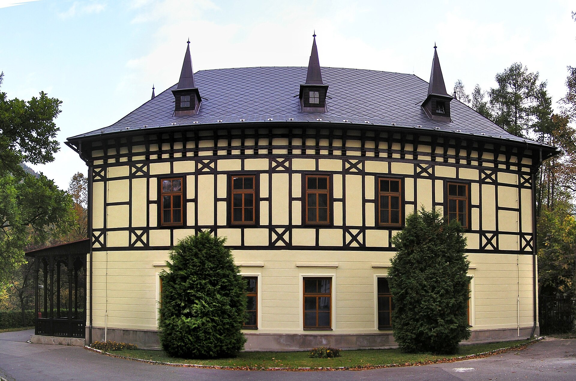
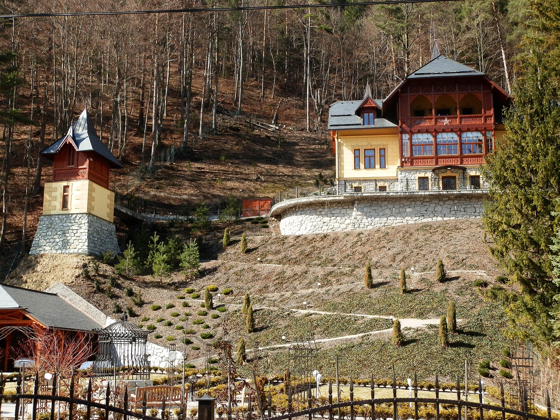
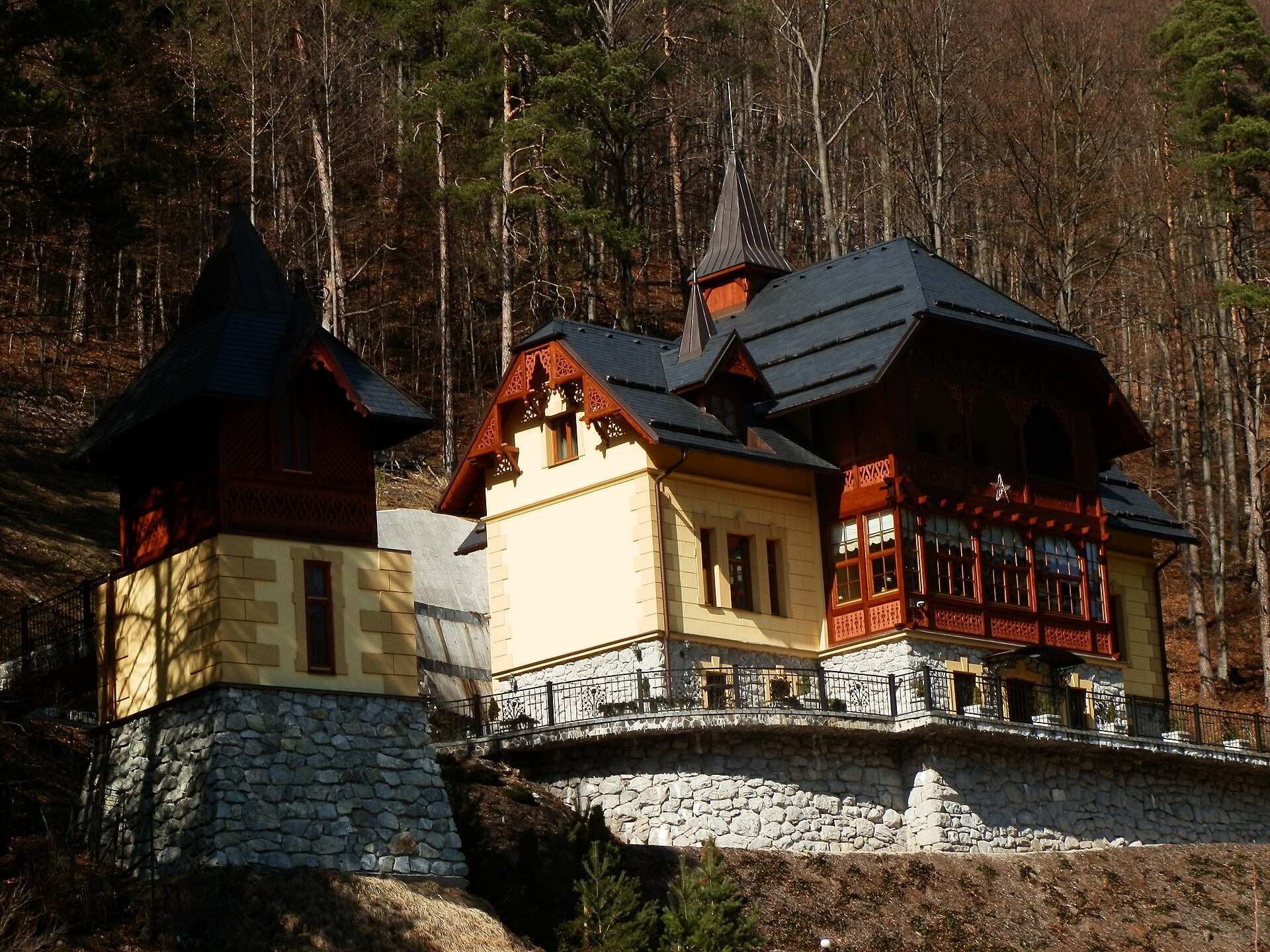
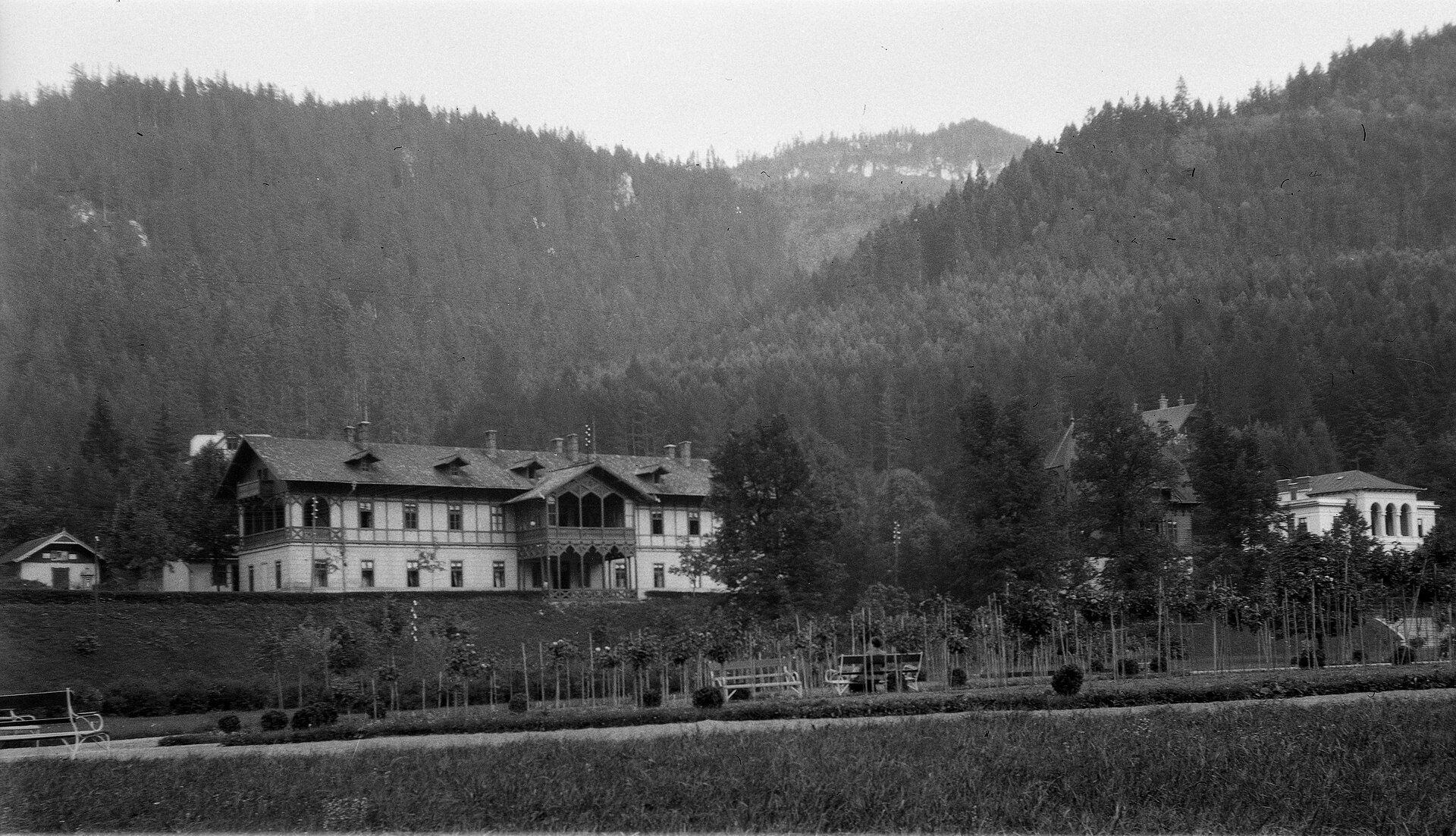
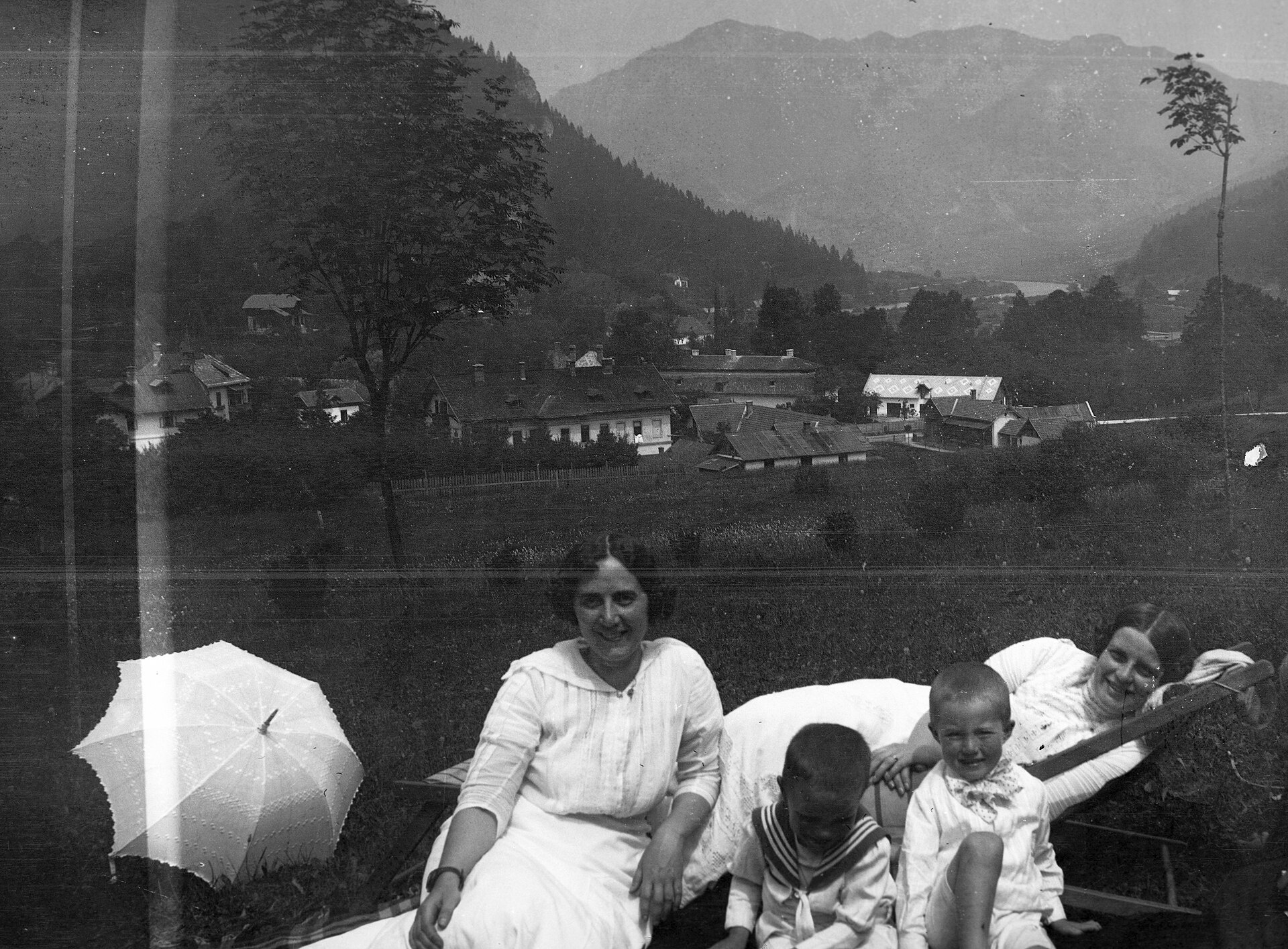
Photos: Zuzana Grúňová, CC BY-SA 3.0 (Wikimedia Commons); Michal Jakubský, CC BY 3.0 (Wikimedia Commons); Michal Jakubský, CC BY 3.0 (Wikimedia Commons); FOTO:Fortepan — ID 55688: Adományozó/Donor: Magyar Bálint. archive copy at the Wayback Machine, Public domain (Wikimedia Commons); FOTO:Fortepan — ID 55744: Adományozó/Donor: Magyar Bálint. archive copy at the Wayback Machine, Public domain (Wikimedia Commons); Fry72, Karel Frydrýšek, CC BY-SA 4.0 (Wikimedia Commons)
Ľubochňa is a village and municipality in the Ružomberok District of the Žilina region in northern Slovakia. It covers an area of 113.67 km² and lies at an elevation of about 460 metres above sea level. Ľubochňa is set in the picturesque foothills of the Greater Fatra mountains, surrounded by forests and mountain streams. The Bystrý stream flows through the village, adding to its natural charm.
The first historical mention of Ľubochňa dates back to 1818. Over the centuries, the village has developed as part of the region, preserving its local character and traditions. Today, it is home to more than a thousand residents.
Ľubochňa is known for its natural surroundings and proximity to the Greater Fatra mountains. The area features unique landscapes, clean streams, and rich flora and fauna. Not far from the village are natural attractions such as the Šútovo Waterfall and the peaks of the Malá Fatra: Chleb, Snilovské sedlo, and Hromové. The village is also notable for its railway station, which serves as an important transport hub in the region.
Visitors to Ľubochňa will find it an excellent base for exploring the Carpathians. Numerous hiking trails start here, including the Veľkofatranská magistrála, the Martin Kukučín Trail, and routes to Ružomberok, Valaská Dubová, Sedlo Spuštiak, and the Chata pod Chlebom. Mountain enthusiasts can ascend peaks such as Veľký Kriváň and Chleb. Highlights in the area include Vlkolínec, a UNESCO World Heritage Site, as well as the URSUS brewery in Čutkovská dolina and the Krajinka sheep farm near Ružomberok. The Chata pod Chlebom offers a convenient mountain shelter.
Getting there from Ukraine
From Uzhhorod ≈275 km, ≈3 h 35 min without queues: Uzhhorod – Vyšné Nemecké → I/19 to Košice → D1 motorway via Prešov, Poprad and Liptovský Mikuláš to Ružomberok (≈270 km, ≈3 h 25 min from the border). From Lviv it is faster through Poland: M-10 → Krakovets – Korczowa → A4 to Kraków → S7/DK7 to the Chyżne – Trstená border → R3 and I/59 via Dolný Kubín to Ružomberok: ≈482 km, ≈6 h 15 min (via Uzhok and Ubľa ≈500 km, ≈7 h 30 min). The D1 requires an e-vignette (eznamka.sk).
Sources: Wikipedia, Wikidata, OpenStreetMap, Karpaty.rocks data. More on Wikipedia
What's nearby
Trails nearby
All trails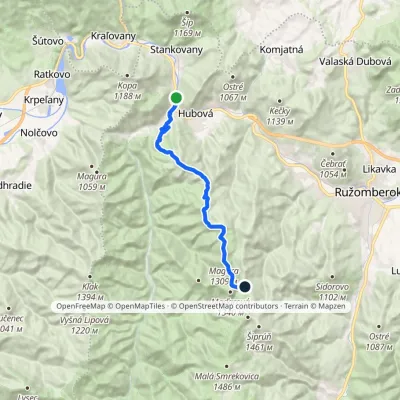 ModerateTwo-dayMarkedĽubochňa Tvarožný grúňElevation profile439–1 319 m14.7 kmascent 1 092 m≈ 6 h walkingunder 1 km from the centre
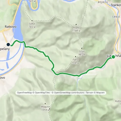 EasyOne-dayMarkedĽubochňa, village Krpeľanyvia Ľubochnianske SaddleElevation profile415–761 m8.1 kmascent 320 m≈ 2.5 h walkingunder 1 km from the centre
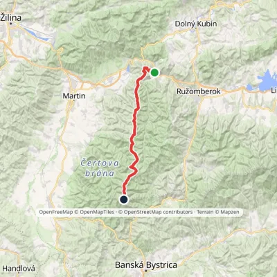 HardMulti-dayMarkedVeľkofatranská magistrálaElevation profile439–1 596 m42 kmascent 3 071 munder 1 km from the centre
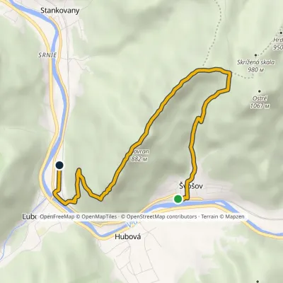 EasyOne-dayMarkedŠvošov Lubochňavia Saddle below OstrýElevation profile442–957 m7 kmascent 504 m≈ 3 h walkingunder 1 km from the centre
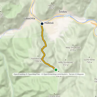 EasyOne-dayMarkedKýčera HubováElevation profile451–968 m3.9 kmascent 48 m≈ 1 h walkingunder 1 km from the centre
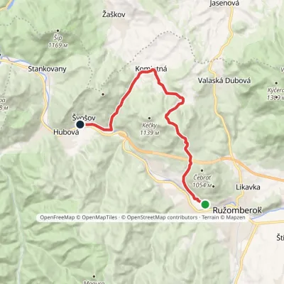 ModerateOne-dayMarkedRybárpole ŠvošovElevation profile450–1 124 m15.5 kmascent 649 m≈ 5 h walking2 km from the centre
Peaks nearby
All peaks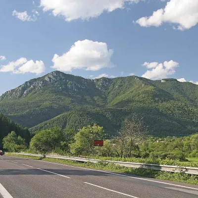 PeakŠípStankovanyaltitude 1 169 m5.1 km from the centreŠíp (Slovak for "thorn, spike, arrow") is a massive, broad, rocky mountain 1169 m high rising above the confluence of the Orava and Váh rivers in Slovakia.
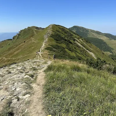 PeakChlebŠútovoaltitude 1 646 m11 km from the centre1 trail to the topChleb (Slovak for “bread”) is a 1,646 m summit on the main ridge of the Lesser Fatra (Malá Fatra) and the third highest peak of the range.
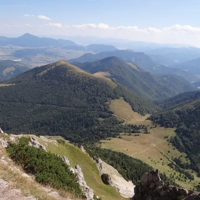 PeakOsnicaPárnicaaltitude 1 363 m12 km from the centreOsnica is a 1363 m summit in the north-eastern part of the Lesser Fatra (Malá Fatra) in Slovakia, about 9 km west of Dolný Kubín.
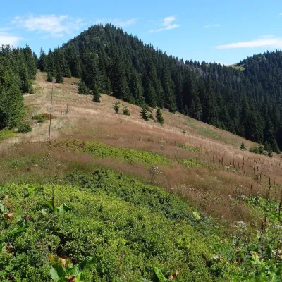 PeakŠiprúňRužomberokaltitude 1 461 m12 km from the centreŠiprúň is a high, prominent mountain 1461 m tall in the north-eastern part of the Greater Fatra (Veľká Fatra) in Slovakia.
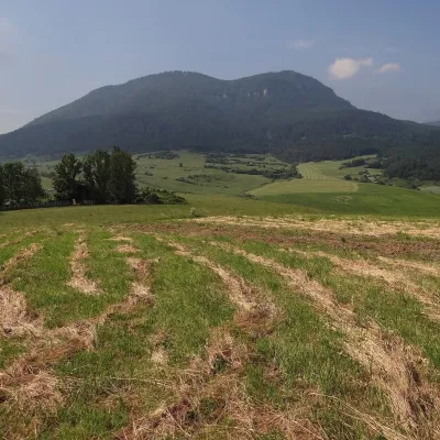 PeakPredný ChočMartinčekaltitude 1 249 m12 km from the centrePredný Choč (Polish Przedni Chocz) is a 1,249 m summit in the Choč Mountains of northern Slovakia, part of the Veľký Choč group.
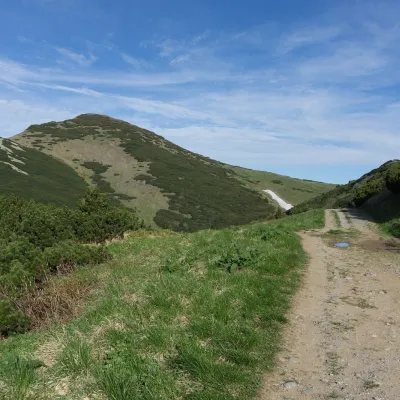 PeakVeľký KriváňTuranyaltitude 1 708 m12 km from the centre1 trail to the topVeľký Kriváň (Polish Wielki Krywań) is the highest peak of the Lesser Fatra (Malá Fatra) at 1,708 m. It stands on the main ridge of the Krivánska Fatra — the part of...
What to visit
All Cheese dairies & pasturesSalaš Krajinka near RužomberokRužomberok4.8 km from the centreSalaš Krajinka is a genuine sheep farm on the edge of Ružomberok in lower Liptov. It was founded in 1983 to keep a thousand sheep, and the owners have deliberately...
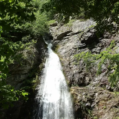 WaterfallŠútovo WaterfallŠútovo9.7 km from the centreThe Šútovo Waterfall (Šútovský vodopád) is the highest waterfall in the Malá Fatra mountains and one of the highest in Slovakia: the water drops 38 m.
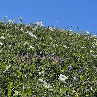 Mountain meadowThe hole of Malá Fatra: Chleb, Snilovské sedlo and HromovéŠútovoaltitude 1 647 m11 km from the centreThe hole of Malá Fatra are the treeless grassy ridges in the highest, Kriváň part of the range (Krivánska Malá Fatra) in northern Slovakia, above the Vrátna valley and...
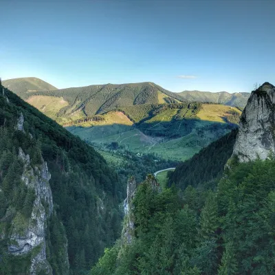 NatureVrátna ValleyTerchová15 km from the centreVrátna dolina, or simply Vrátna, is a valley in the Krivánska Malá Fatra and the largest centre of summer and winter tourism in these mountains.
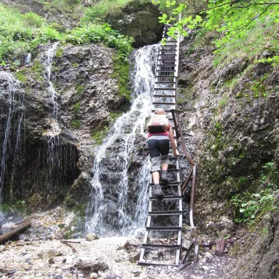 NatureJánošík's Holes (Jánošíkove diery)Terchová16 km from the centreJánošíkove diery (Jánošík’s Holes), or simply Diery, is a system of narrow gorges and canyons in the Krivánska Malá Fatra near the village of Terchová, birthplace of...
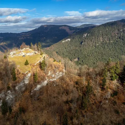 CastleLiptov Castle (ruins)Liptovská Sielnica19 km from the centreLiptov Castle (Liptovský hrad), also known as Liptov Old Castle or Sielnica Castle, is the ruin of a medieval fortress on the summit of Sestrč (999.9 m) in the Choč...
Craft nearby
All craft places Craft beer & breweriesURSUS craft brewery, Čutkovská valleyRužomberok7.7 km from the centreURSUS craft brewery (Remeselný pivovar URSUS) is the first brewery of the town of Ružomberok, tucked away in the picturesque Čutkovská valley in lower Liptov.
 Cheese dairies & pasturesSalaš Syrex in Zázrivá — Home of the Zázrivá Korbáčik CheeseZázrivá17 km from the centreZázrivá is a scattered mountain village on the border of Orava and the Malá Fatra, famous throughout Slovakia for its korbáčiky: thin strings of steamed cheese braided...
 Water parks & thermal poolsLúčky Spa and AQUA-VITAL ParkLúčky17 km from the centreLúčky Spa (Kúpele Lúčky) lies in a quiet valley beneath the Choč Mountains, in the village of Lúčky near Ružomberok.
 Water parks & thermal poolsBešeňová Water ParkBešeňová20 km from the centreBešeňová — the "thermal heart of Liptov" Bešeňová Water Park (Vodný park Bešeňová) lies on the edge of the village of the same name in the western part of the Liptov...
 Koliby & Hutsul cuisineSalaš Dechtáre above Liptovská MaraGalovany25 km from the centreSalaš Dechtáre is a wooden koliba above the Liptovská Mara reservoir that is described as one of Slovakia’s first commercial salaš restaurants.
 Water parks & thermal poolsAquapark TatralandiaLiptovský Mikuláš29 km from the centreAquapark Tatralandia is a large year-round water leisure complex near Liptovský Mikuláš, on the northern shore of the Liptovská Mara reservoir.
Spas and thermal pools nearby
Water parks & thermal poolsLúčky Spa and AQUA-VITAL ParkLúčky17 km from the centreLúčky Spa (Kúpele Lúčky) lies in a quiet valley beneath the Choč Mountains, in the village of Lúčky near Ružomberok.Water parks & thermal poolsBešeňová Water ParkBešeňová20 km from the centreBešeňová — the "thermal heart of Liptov" Bešeňová Water Park (Vodný park Bešeňová) lies on the edge of the village of the same name in the western part of the Liptov...Water parks & thermal poolsAquapark TatralandiaLiptovský Mikuláš29 km from the centreAquapark Tatralandia is a large year-round water leisure complex near Liptovský Mikuláš, on the northern shore of the Liptovská Mara reservoir.Huts, shelters and springs nearby
Getting there from Ukraine
Border crossings
- Uzhhorod – Vyšné Nemecké — road, 24/7
- Malyi Bereznyi – Ubľa — road, 24/7 For cars and buses; pedestrians not confirmed by the Ukrainian border service, lorries up to 3.5 t.
- Mali Selmentsi – Veľké Slemence (pedestrian) — pedestrian, 09:00–21:00 Kyiv time Pedestrians and cyclists only; inconvenient for the Tatras without onward transport.
- Chop – Čierna nad Tisou (rail) — rail, 24/7
By car
From Uzhhorod ≈275 km, ≈3 h 35 min without queues: Uzhhorod – Vyšné Nemecké → I/19 to Košice → D1 motorway via Prešov, Poprad and Liptovský Mikuláš to Ružomberok (≈270 km, ≈3 h 25 min from the border). From Lviv it is faster through Poland: M-10 → Krakovets – Korczowa → A4 to Kraków → S7/DK7 to the Chyżne – Trstená border → R3 and I/59 via Dolný Kubín to Ružomberok: ≈482 km, ≈6 h 15 min (via Uzhok and Ubľa ≈500 km, ≈7 h 30 min). The D1 requires an e-vignette (eznamka.sk).
Checked 23.10.2026; border crossing hours and timetables change — check before you travel.
