Dargov
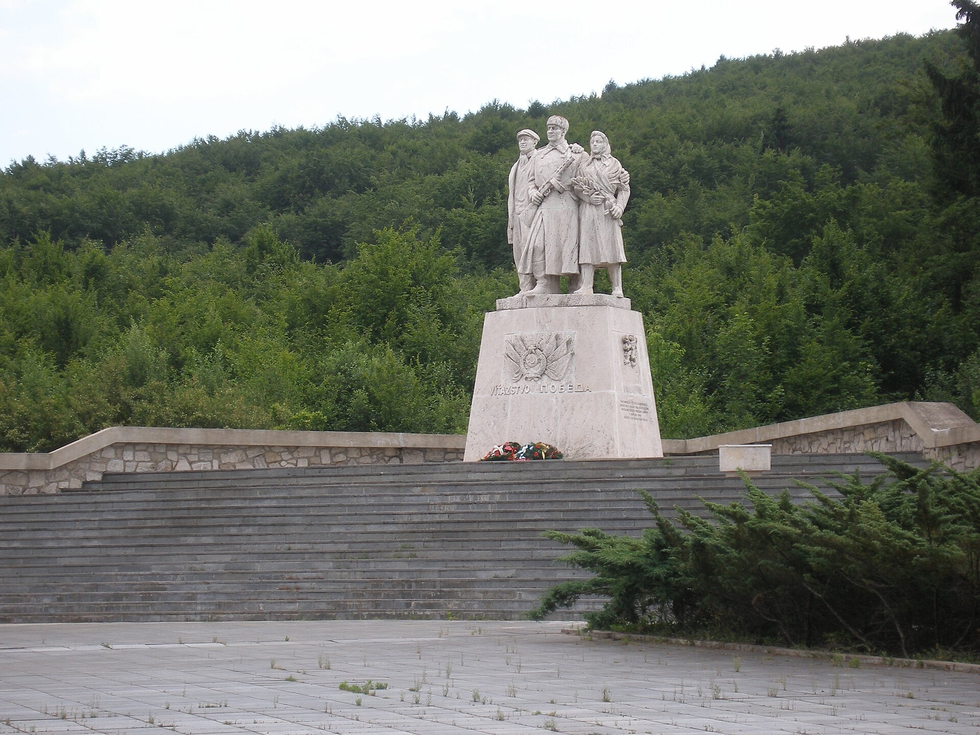
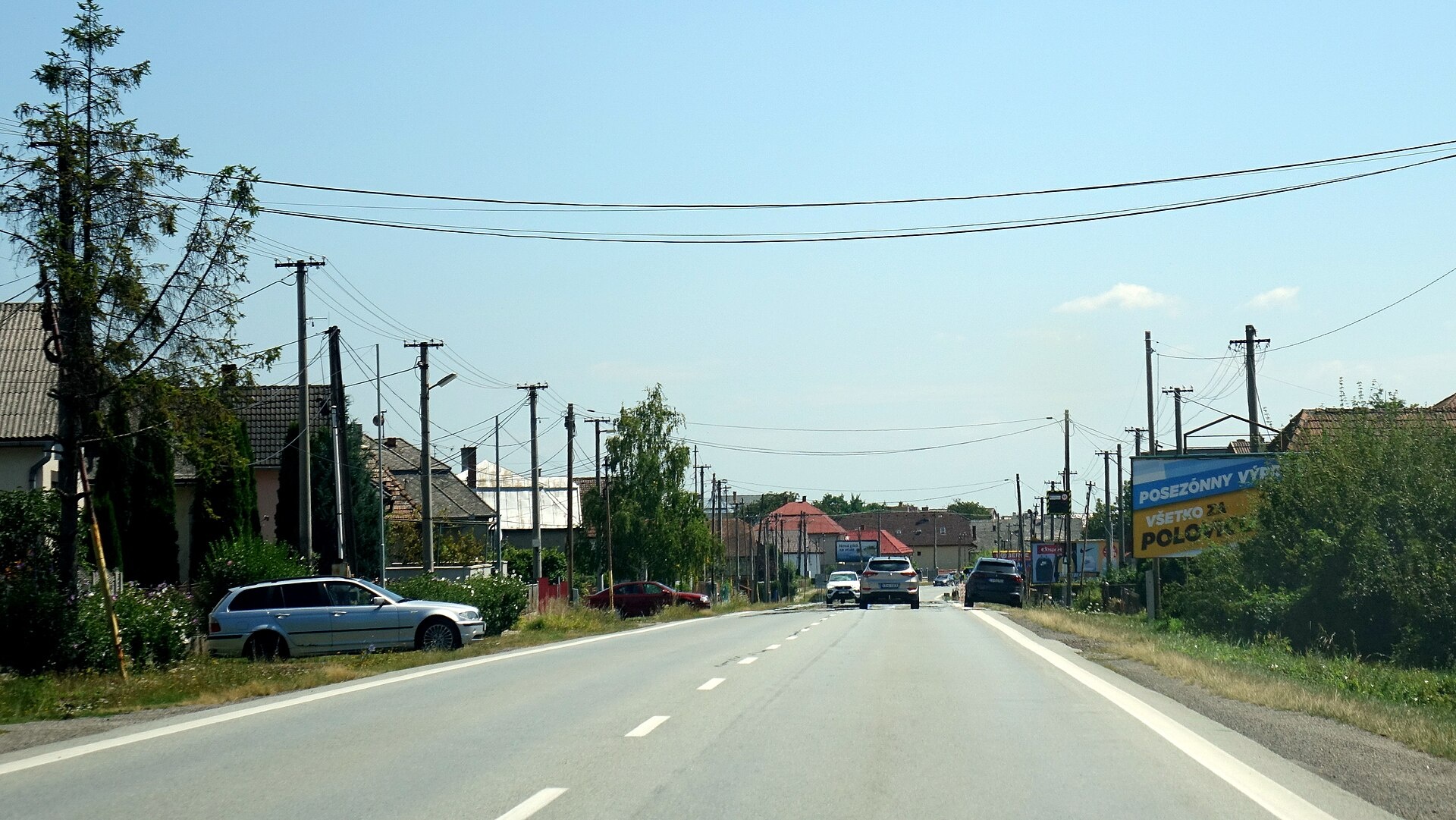
Photos: Jozef Kotulič, CC BY-SA 3.0 (Wikimedia Commons); ZemplinTemplar, CC BY-SA 4.0 (Wikimedia Commons); Jozef Kotulič, CC BY 4.0 (Wikimedia Commons)
Dargov is a village in Slovakia.
Elevation: about 252 m above sea level. Population: 629 (2025). Mountains nearby: Western Carpathians.
Here and nearby on the site: 1 trail.
Facts: Wikidata, OpenStreetMap. More on Wikipedia
What's nearby
Trails nearby
All trails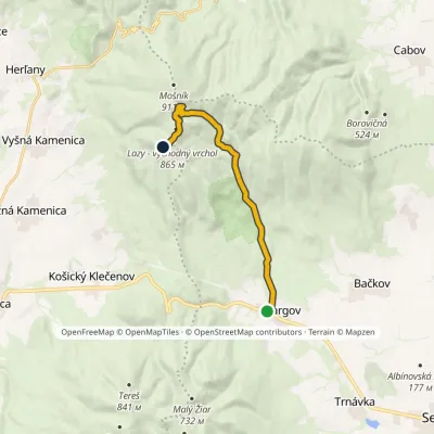 ModerateOne-dayMarkedDargov, obec LazyElevation profile262–860 m10.1 kmascent 598 m≈ 3.5 h walkingunder 1 km from the centre
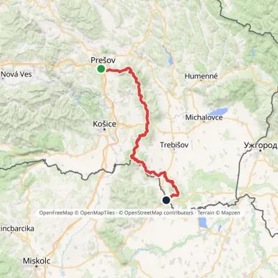 HardMulti-dayMarkedPrešov, Za kalváriou Slovenské Nové MestoElevation profile102–1 077 m135.8 kmascent 3 494 m3.3 km from the centre
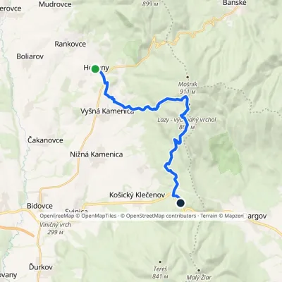 ModerateOne-dayMarkedHerľany Dargov PassElevation profile377–860 m14.7 kmascent 594 m≈ 5 h walking3.8 km from the centre
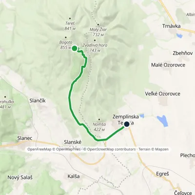 EasyOne-dayMarkedZemplínska Teplica MaliniakElevation profile203–725 m11.2 kmascent 17 m≈ 3 h walking5.9 km from the centre
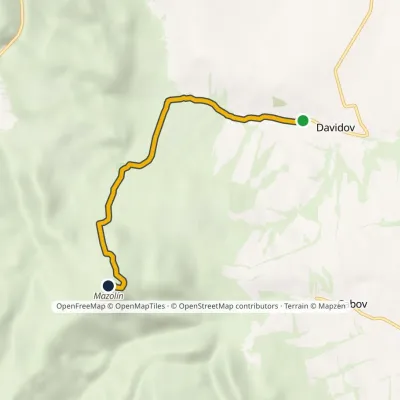 EasyOne-dayMarkedDavidov MazolínElevation profile185–650 m5 kmascent 465 m≈ 2 h walking8.4 km from the centre
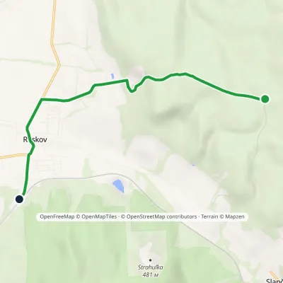 EasyOne-dayMarkedRuskov Črepník Game ReserveElevation profile226–465 m6.3 kmascent 45 m≈ 1.5 h walking8.6 km from the centre
Peaks nearby
All peaks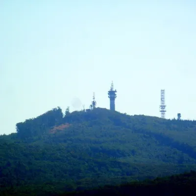 PeakMakovicaKecerovský Lipovecaltitude 981 m15 km from the centreMakovica is a 981 m summit in the central part of the Slanské vrchy in eastern Slovakia, in the subunit that bears the same name.
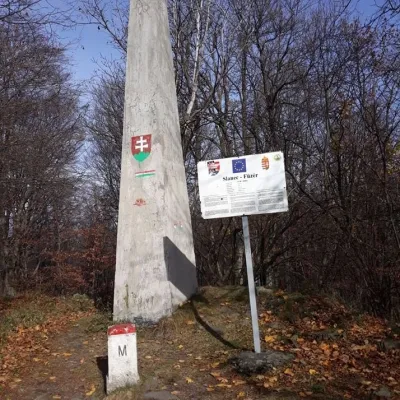 PeakVeľký Milič (Nagy-Milic)Skárošaltitude 895 m20 km from the centreVeľký Milič (Hungarian Nagy-Milic) is an 895 m summit right on the Slovak–Hungarian border, about 14 km south-east of Košice.
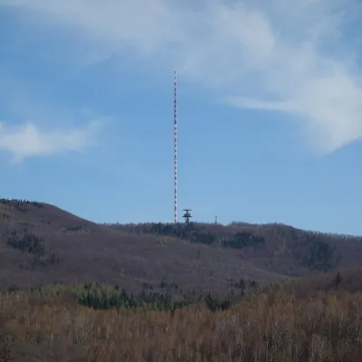 PeakDubníkZlatá Baňaaltitude 874 m23 km from the centreDubník is a forested 874 m hill in the northern half of the Slanské vrchy in eastern Slovakia, in the Šimonka subunit.
What to visit
All
Craft nearby
All craft places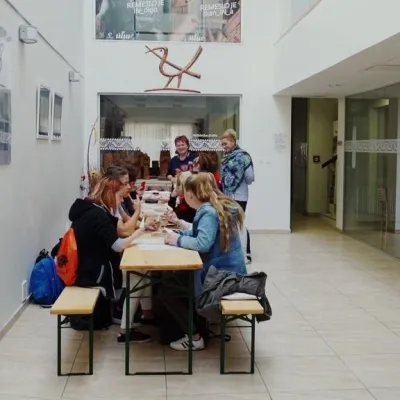
Huts, shelters and springs nearby
Getting there from Ukraine
Border crossings
- Uzhhorod – Vyšné Nemecké — road, 24/7
- Malyi Bereznyi – Ubľa — road, 24/7 For cars and buses; pedestrians not confirmed by the Ukrainian border service, lorries up to 3.5 t.
- Mali Selmentsi – Veľké Slemence (pedestrian) — pedestrian, 09:00–21:00 Kyiv time Pedestrians and cyclists only; inconvenient for the Tatras without onward transport.
- Chop – Čierna nad Tisou (rail) — rail, 24/7
By car
Lviv – Snina ≈241 km, ≈4 h 20 min without queues: H-13 via Sambir and the Uzhok Pass to Velykyi and Malyi Bereznyi → Malyi Bereznyi – Ubľa checkpoint → road 74 to Snina (≈27 km, ≈30 min from the border). From Uzhhorod: via Vyšné Nemecké (I/19 towards Sobrance, then II/566 and road 74) ≈65 km, ≈1 h 15 min; via Malyi Bereznyi – Ubľa ≈80 km, ≈1 h 40 min, but that crossing is usually less busy.
Checked 23.10.2026; border crossing hours and timetables change — check before you travel.
