Hrabušice
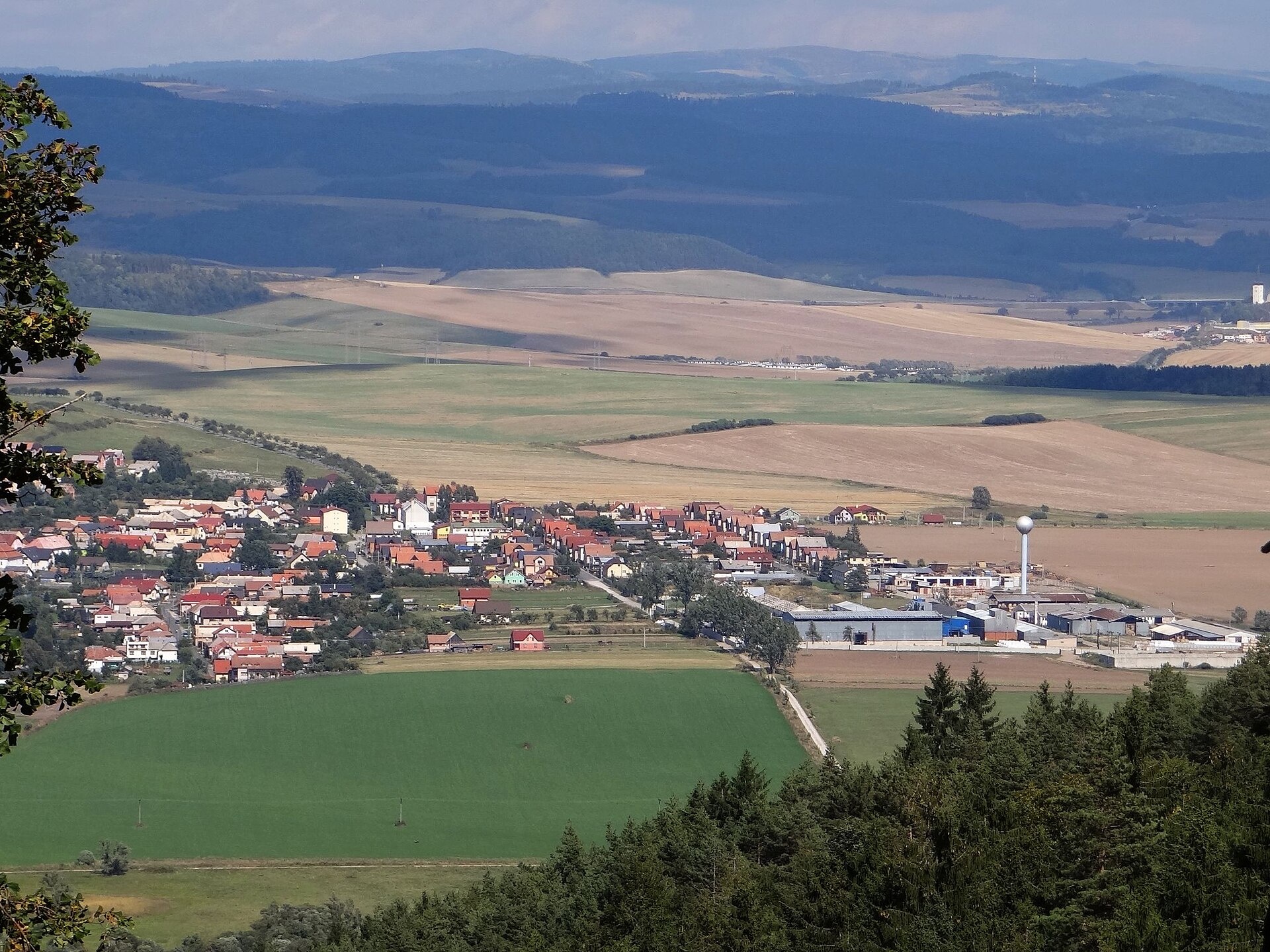
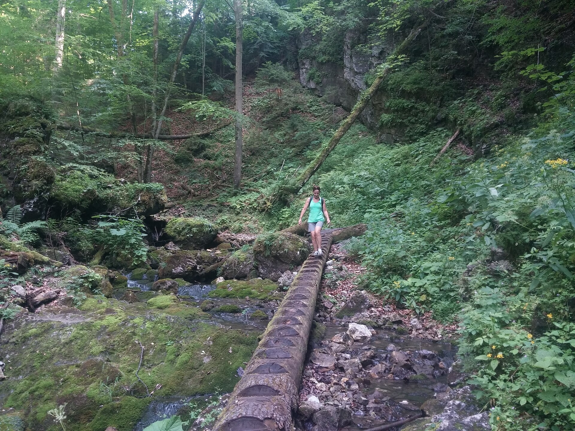
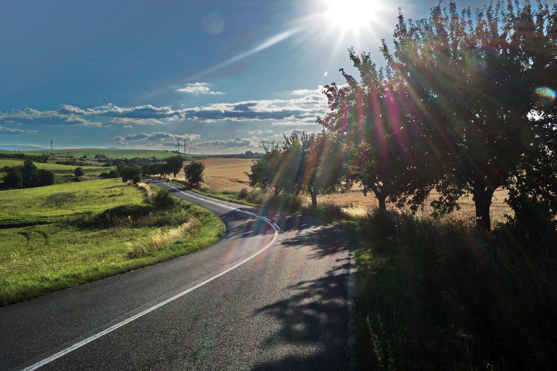
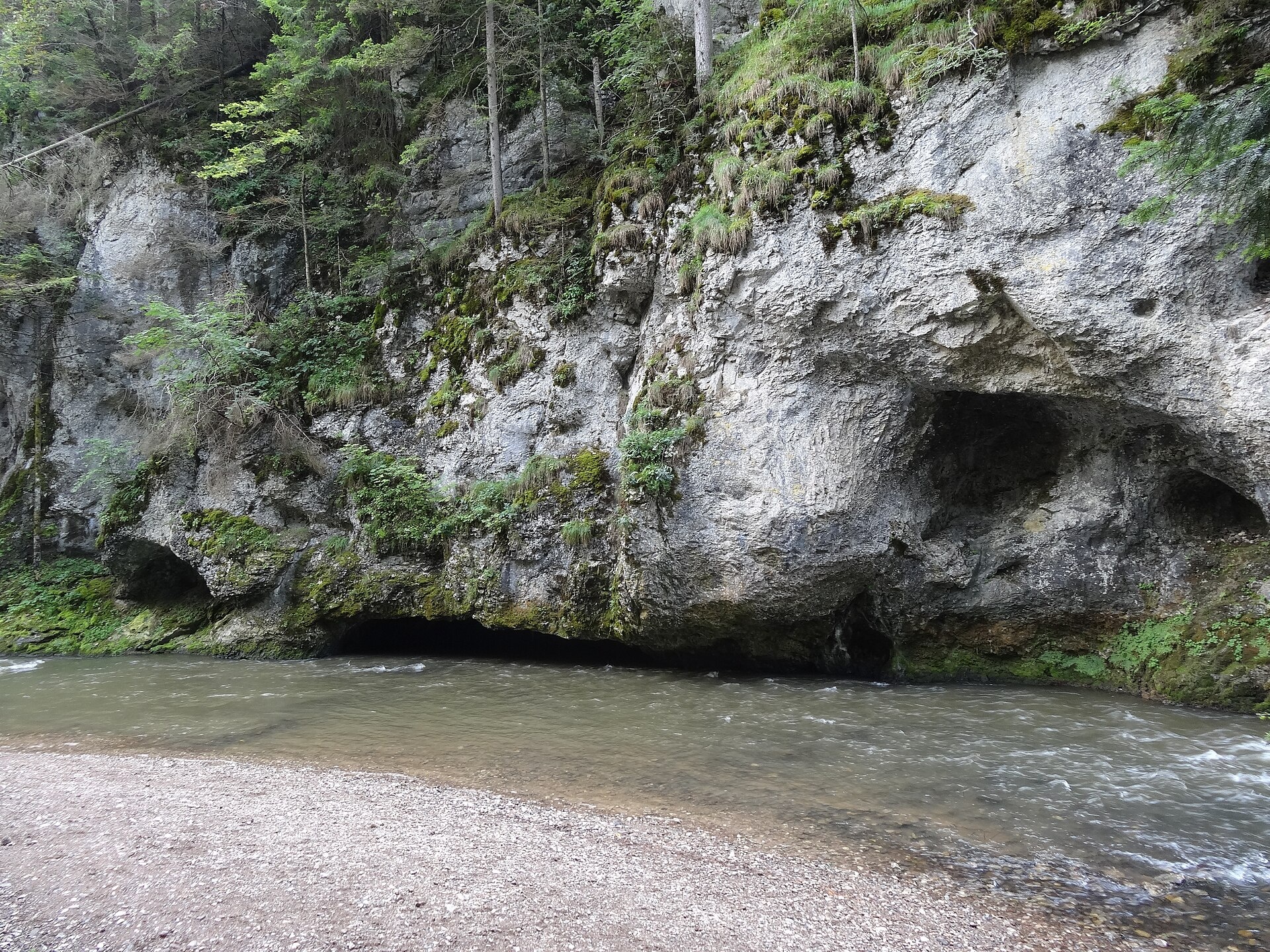
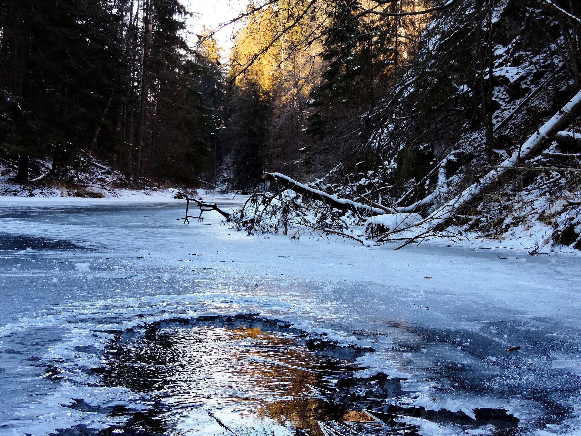
Photos: Jerzy Opioła, CC BY-SA 3.0 (Wikimedia Commons); Tamás Schnierer (mr-…, CC BY 3.0 (Wikimedia Commons); Sebastian B, CC BY 3.0 (Wikimedia Commons); EliziR, CC BY-SA 3.0 (Wikimedia Commons); Jan Starec, CC BY-SA 3.0 (Wikimedia Commons); Jan Starec, CC BY-SA 3.0 (Wikimedia Commons)
Hrabušice is a village in the Spišská Nová Ves District of the Košice Region, Slovakia, situated in the Western Carpathians at an elevation of 542 m. The village covers over 40 km² and lies along the Veľká Biela Voda river and Teplický stream. The area is surrounded by scenic mountains, with natural features such as the Kláštorisko Gorge, Piecky, and Suchá Belá nearby.
The first written mention of Hrabušice dates back to 1279. Archaeological finds indicate even earlier settlement, and in the Middle Ages, the village belonged to the Union of Spiš Saxons before becoming property of the Spiš Castle estate. The 13th-century Church of St. Laurence stands here, as well as the ruins of a Carthusian monastery built around 1305.
Hrabušice is known as a popular tourist centre at the gateway to Slovak Paradise. Visitors can see the Romanesque Church of St. Laurence with its Gothic altar and the ruins of the Carthusian monastery at Kláštorisko. The village attracts travellers with its picturesque gorges, waterfalls, and natural landmarks, making it a key spot for nature lovers.
Visitors can explore numerous hiking trails, such as “Podlesok, ATC – Suchá Belá, end” or “Kyseľ, mouth – Kláštorisko Gorge, mouth.” Notable sights include the gorges of Suchá Belá, Kláštorisko, and Piecky with their waterfalls, as well as Kláštorisko with the monastery ruins. For active recreation, the “U Trapera” ranch in Podlesok offers horseback riding in Slovak Paradise, and for relaxation, the AquaCity Poprad waterpark is nearby.
Getting there from Ukraine
From Uzhhorod to Hrabušice is about 182 km, approximately 2 h 45 min without queues: Uzhhorod – Vyšné Nemecké → I/19 via Sobrance and Michalovce to Košice → D1 motorway via Prešov to the exit near Levoča → road 533 to Spišská Nová Ves. The D1 requires an e-vignette (eznamka.sk).
Sources: Wikipedia, Wikidata, OpenStreetMap, Karpaty.rocks data. More on Wikipedia
What's nearby
Trails nearby
All trails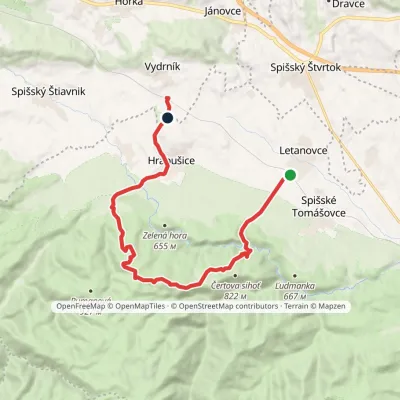 ModerateOne-dayMarkedVydrník, station Letanovce, stopElevation profile517–934 m16 kmascent 512 m≈ 5 h walkingunder 1 km from the centre
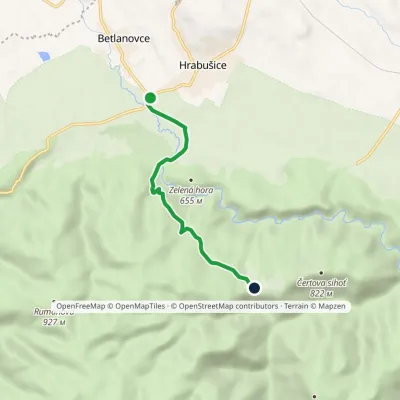 EasyOne-dayMarkedHrabušice, Mýto Kláštorisko, hutElevation profile532–790 m5.1 kmascent 251 m≈ 2 h walkingunder 1 km from the centre
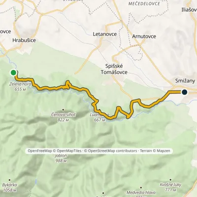 ModerateOne-dayMarkedSmižany, zastávka Hrdlo HornáduElevation profile483–667 m13.5 kmascent 422 m≈ 4 h walking1.5 km from the centre
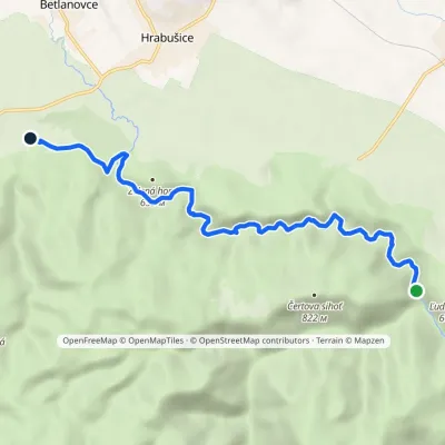 EasyOne-dayMarkedChodník Horskej službyElevation profile515–578 m8.6 kmascent 116 m≈ 2.5 h walking1.6 km from the centre
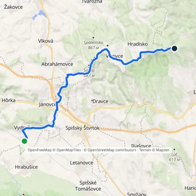 ModerateTwo-dayMarkedZbojnícka lúka Vydrník, stationElevation profile550–936 m18.6 kmascent 548 m≈ 5.5 h walking2.1 km from the centre
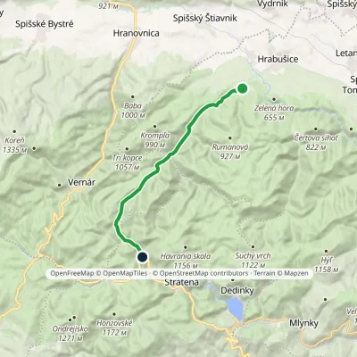 ModerateOne-dayMarkedPodlesok, campsite Krivian, junctionElevation profile546–1 024 m13.1 kmascent 479 m≈ 4 h walking2.2 km from the centre
Peaks nearby
All peaks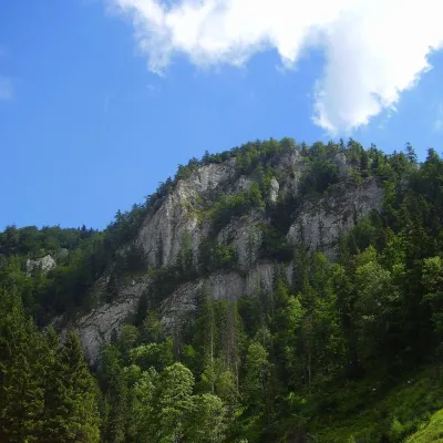 PeakHavrania skalaStratenáaltitude 1 156 m11 km from the centreHavrania skala (Raven Rock) is a 1,156 m summit, one of the highest in the Slovak Paradise. It stands in the southern part of the national park, about 3 km north of...
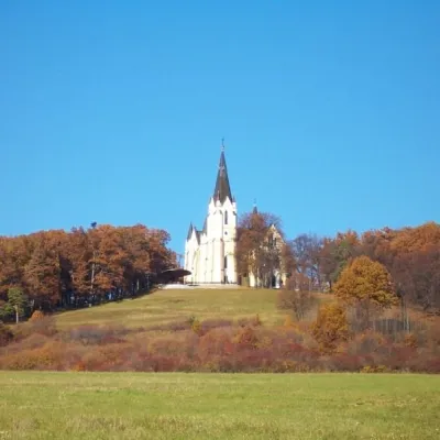 PeakMariánska hora (Marian Hill)Levočaaltitude 761 m16 km from the centreMariánska hora (Marian Hill; Hungarian Máriahegy) is a hill on the southern edge of the Levoča Hills, about 2 km north of the centre of the town of Levoča in eastern...
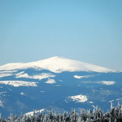 PeakKráľova hoľaŠumiacaltitude 1 946 m23 km from the centreKráľova hoľa (German Königsberg, Hungarian Király-hegy – “King's Mountain”) is a 1,946 m summit, the highest in the eastern part of the Low Tatras, which are called...
What to visit
All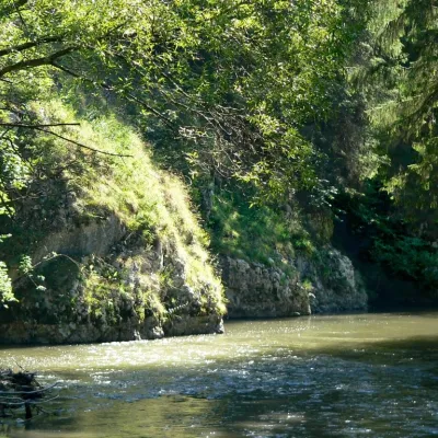 RiverHornád RiverHrabušice2.2 km from the centreThe Hornád is a river of Slovakia and Hungary, a left-bank tributary of the Slaná (Sajó) in the Tisza basin and Slovakia's fifth-longest river.
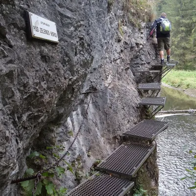 NatureHornád River Gorge (Prielom Hornádu)Hrabušice2.6 km from the centreThe Hornád Gorge (Prielom Hornádu) is, together with the Suchá Belá ravine and the Tomášovský výhľad viewpoint, the best-known place in Slovak Paradise National Park.
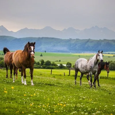 Horse ridingRanč u Trapera, Podlesok: Horse Rides in the Slovak ParadiseHrabušice2.9 km from the centreA little away from the main tourist bustle, below the forest, stands the family-run Ranč u Trapera, run by the Salaj family.
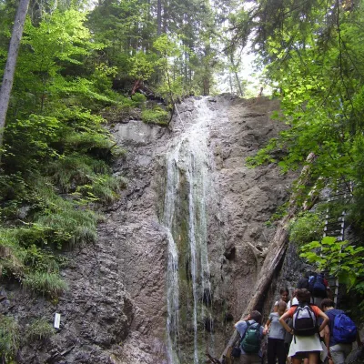 WaterfallKláštorská Gorge and its waterfallsLetanovce3 km from the centreKláštorská roklina (Kláštorská Gorge) is one of the shortest but most picturesque gorges of the Slovak Paradise National Park in the Spiš region.
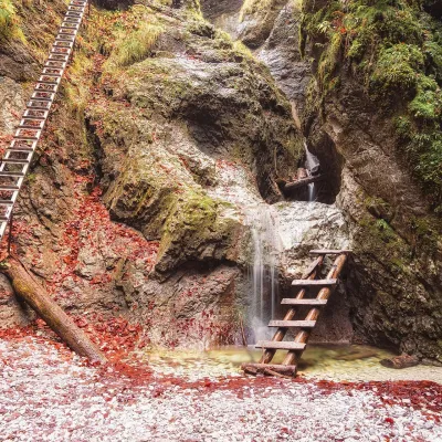 NatureSuchá Belá GorgeHrabušice3.4 km from the centreThe most romantic gorge in the Slovak Paradise Suchá Belá is the most visited gorge in Slovak Paradise National Park and, according to the park administration, one of...
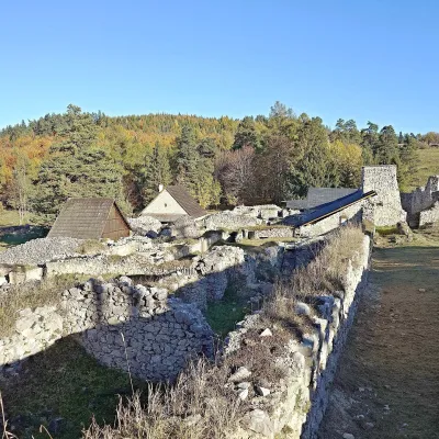 Historic siteKláštorisko – Carthusian Monastery RuinsLetanovce3.5 km from the centreKláštorisko is a broad plateau at 760 m on the ridge between Čertova sihoť and the Glac plateau, one of the main tourist hubs in the north of Slovak Paradise National...
Craft nearby
All craft places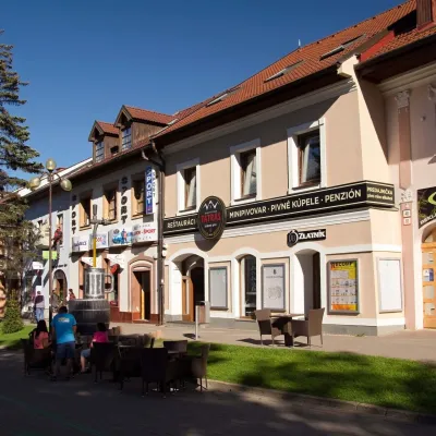 Craft beer & breweriesMinipivovar TATRAS, PopradPoprad12 km from the centreMinipivovar TATRAS is a brewpub on Poprad’s main square, Námestie sv. Egídia, housed in a building with a long brewing history.
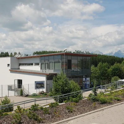 Water parks & thermal poolsThermal Park VrbovVrbov12 km from the centreThermal Park Vrbov is one of the best-known thermal baths in the Spiš region, on the southern edge of the village of Vrbov, about 6 km (as the crow flies) from...
 Water parks & thermal poolsAquaCity Poprad water parkPoprad12 km from the centreAquaCity Poprad is a large year-round water park and wellness complex in the town of Poprad, a few minutes from the centre; according to the complex, the High Tatras...
Spas and thermal pools nearby
Water parks & thermal poolsThermal Park VrbovVrbov12 km from the centreThermal Park Vrbov is one of the best-known thermal baths in the Spiš region, on the southern edge of the village of Vrbov, about 6 km (as the crow flies) from...Water parks & thermal poolsAquaCity Poprad water parkPoprad12 km from the centreAquaCity Poprad is a large year-round water park and wellness complex in the town of Poprad, a few minutes from the centre; according to the complex, the High Tatras... Water parks & thermal poolsClimatic spas of the High Tatras: Nový Smokovec, Polianka, KotlinaVysoké Tatry23 km from the centreNový Smokovec is the best known of the climatic spas of the High Tatras. It grew up in a spruce forest at about 1010 m, south-west of Starý Smokovec, with which it...
Huts, shelters and springs nearby
Getting there from Ukraine
Border crossings
- Uzhhorod – Vyšné Nemecké — road, 24/7
- Malyi Bereznyi – Ubľa — road, 24/7 For cars and buses; pedestrians not confirmed by the Ukrainian border service, lorries up to 3.5 t.
- Mali Selmentsi – Veľké Slemence (pedestrian) — pedestrian, 09:00–21:00 Kyiv time Pedestrians and cyclists only; inconvenient for the Tatras without onward transport.
- Chop – Čierna nad Tisou (rail) — rail, 24/7
By car
From Uzhhorod ≈182 km, ≈2 h 45 min without queues: Uzhhorod – Vyšné Nemecké → I/19 via Sobrance and Michalovce to Košice → D1 motorway via Prešov to the exit near Levoča → road 533 to Spišská Nová Ves (≈177 km, ≈2 h 30 min from the border). From Lviv via Uzhok and Ubľa ≈407 km, ≈6 h 40 min; through Poland (Kraków – Nowy Targ) ≈496 km, ≈6 h 20 min. The D1 requires an e-vignette (eznamka.sk).
Checked 23.10.2026; border crossing hours and timetables change — check before you travel.
