Šandal
Šandal is a village in Slovakia.
Elevation: about 252 m above sea level. Population: 314 (2025). Mountains nearby: Eastern Carpathians.
Here and nearby on the site: 2 trails.
Facts: Wikidata, OpenStreetMap. More on Wikipedia
Comments
Travellers’ experience: reports, tips, questions.
No one has written here yet. Be the first — your experience helps others.
What's nearby
Trails nearby
All trails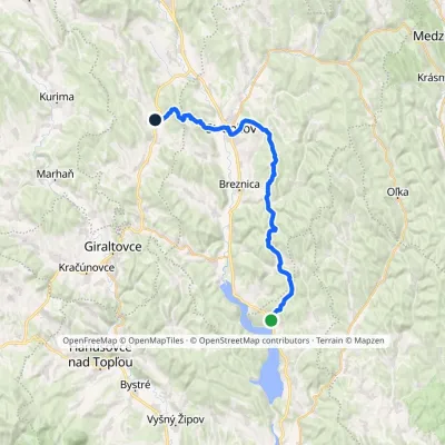 Hard1–2 daysMarkedNová Kelča, Alpina Šarišský ŠtiavnikElevation profile170–525 m33.2 kmascent 1 133 m≈ 10 h walking2.4 km from the centre
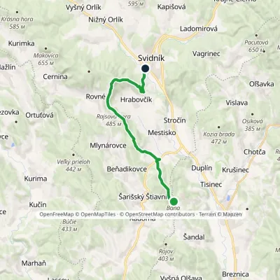 ModerateOne-dayMarkedSvidník BaňaElevation profile222–591 m17.1 kmascent 733 m≈ 5.5 h walking3.4 km from the centre
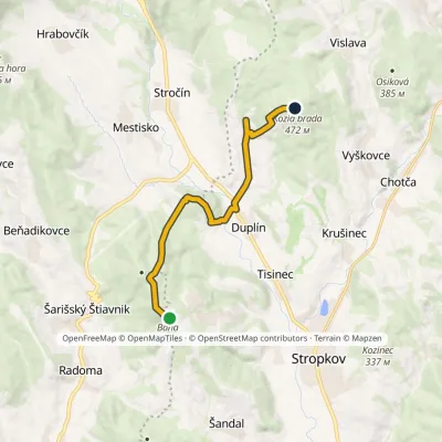 EasyOne-dayMarkedBaňa Kozia bradaElevation profile198–525 m10.2 kmascent 323 m≈ 3 h walking3.4 km from the centre
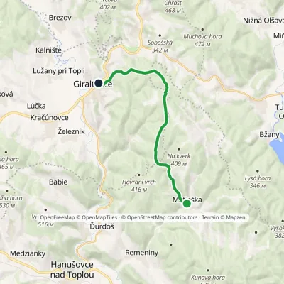 ModerateOne-dayMarkedGiraltovce MatiaškaElevation profile188–429 m11.5 kmascent 288 m≈ 3.5 h walking8.4 km from the centre
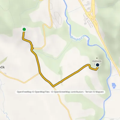 EasyOne-dayMarkedLesík KaštielikElevation profile269–337 m2.8 kmascent 45 m≈ 45 min walking11 km from the centre
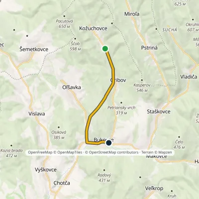 EasyOne-dayMarkedKožuchovce BukovceElevation profile228–360 m6.8 kmascent 74 m≈ 2 h walking11 km from the centre
What to visit
All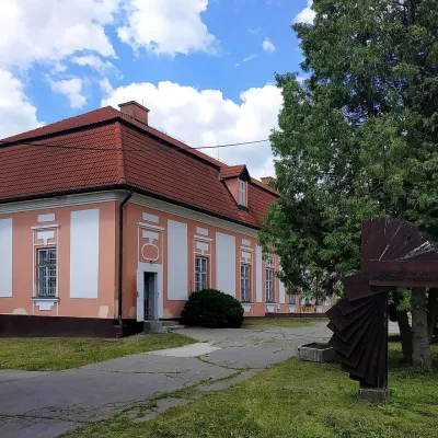 MuseumDezider Milly Gallery, SvidníkSvidník13 km from the centreThe Dezider Milly Gallery (Galéria Dezidera Millyho) is the art-historical exhibition of the Museum of Ukrainian Culture in Svidník, part of the Slovak National Museum.
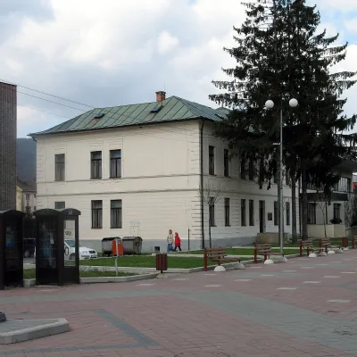 MuseumMuseum of Ukrainian Culture in SvidníkSvidník14 km from the centreThe Museum of Ukrainian Culture (Múzeum ukrajinskej kultúry) in Svidník is Slovakia's oldest specialised museum of a national minority and the main place of memory of...
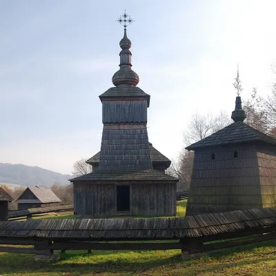 MuseumSvidník Open-Air Museum (Museum of Ukrainian Culture)Svidník14 km from the centreThe Ethnographic Open-Air Exhibition (Národopisná expozícia v prírode) in Svidník is the open-air museum of the Museum of Ukrainian Culture, part of the Slovak...
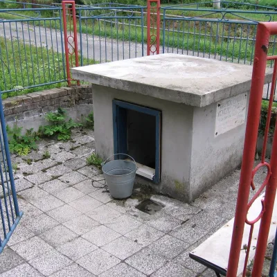 RiverOndava RiverSvidník14 km from the centreThe Ondava is a river in eastern Slovakia, the country's eighth-longest. It is 144.4 km long (146 km according to Wikidata) and its basin covers 3,354.7 km².
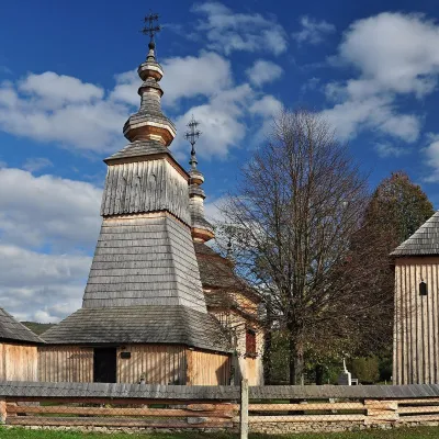 ChurchWooden Church of St Michael the Archangel, LadomirováLadomirová16 km from the centreOn its edge, behind a wooden fence with a little shingle roof, stands the Greek Catholic Church of St Michael the Archangel — one of the architecturally most valuable...
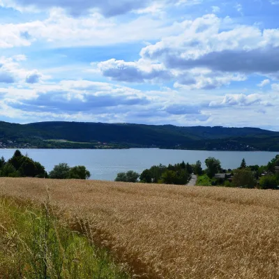 LakeVeľká Domaša reservoirKvakovce · Zemplén Mountains20 km from the centre156 m above sea levelarea 14.2–15.1 km²32–35 m deepVeľká Domaša (often just Domaša) is a large reservoir on the Ondava river in the Ondavská vrchovina hills, south of the Low Beskids ridge, in the Prešov Region of...
Craft nearby
All craft places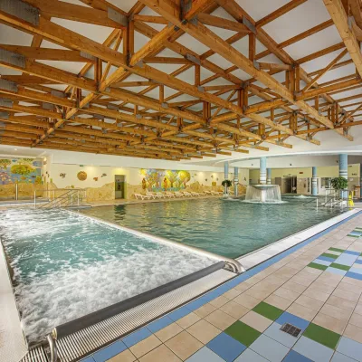
Spas and thermal pools nearby
Huts, shelters and springs nearby
Getting there from Ukraine
Border crossings
- Uzhhorod – Vyšné Nemecké — road, 24/7
- Malyi Bereznyi – Ubľa — road, 24/7 For cars and buses; pedestrians not confirmed by the Ukrainian border service, lorries up to 3.5 t.
- Mali Selmentsi – Veľké Slemence (pedestrian) — pedestrian, 09:00–21:00 Kyiv time Pedestrians and cyclists only; inconvenient for the Tatras without onward transport.
- Chop – Čierna nad Tisou (rail) — rail, 24/7
By car
From Uzhhorod ≈138 km, ≈2 h 30 min without queues: Uzhhorod – Vyšné Nemecké → I/19 to Michalovce → I/18 via Vranov nad Topľou towards Prešov → I/545 to Bardejov (≈133 km, ≈2 h 20 min from the border). From Lviv it is faster through Poland: M-10 → Krakovets – Korczowa → A4 to Dębica → DK73 to Jasło → DK28 to Gorlice → DW977 over the internal Schengen crossing Konieczna – Becherov → I/545 to Bardejov: ≈329 km, ≈5 h 10 min (≈251 km, ≈3 h 40 min from the border). Via the Uzhok Pass and Ubľa ≈345 km, ≈6 h 20 min.
Checked 23.10.2026; border crossing hours and timetables change — check before you travel.
