Belá
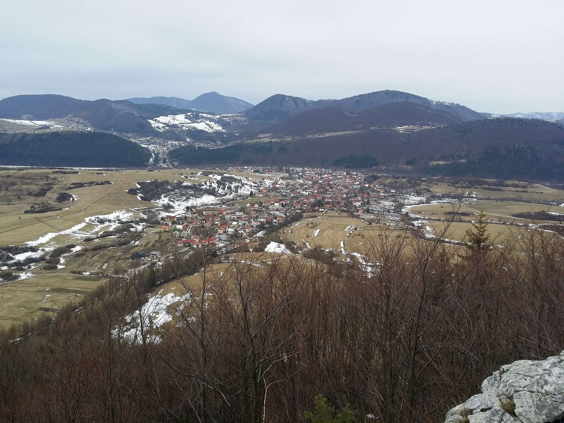
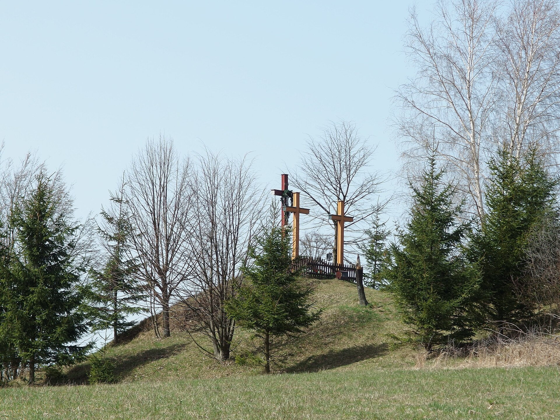
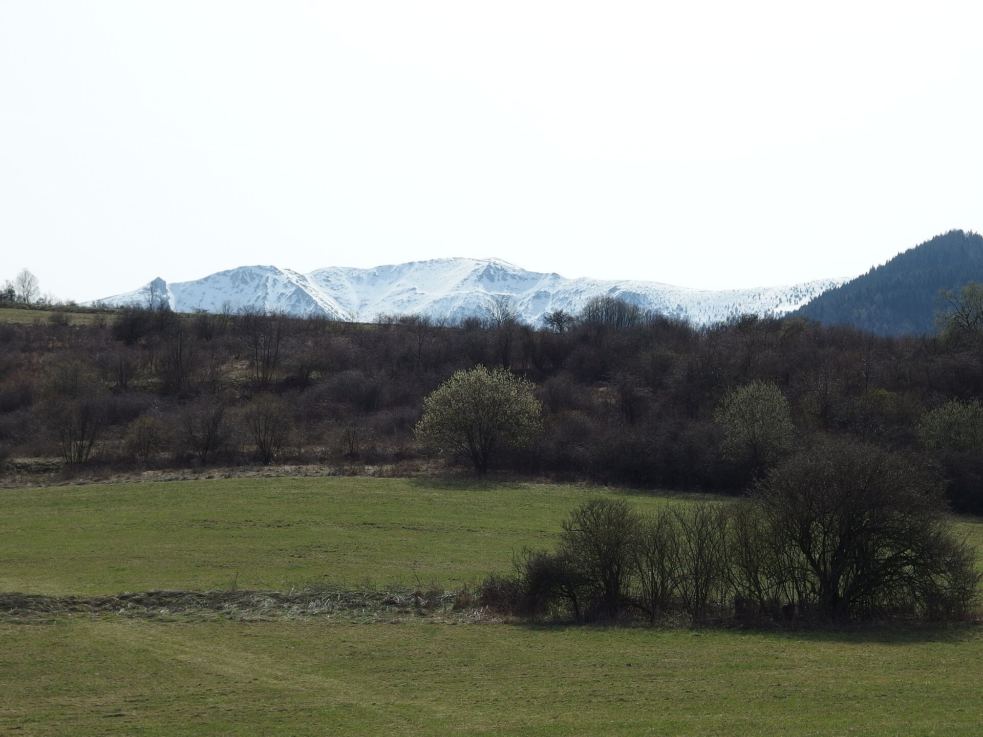
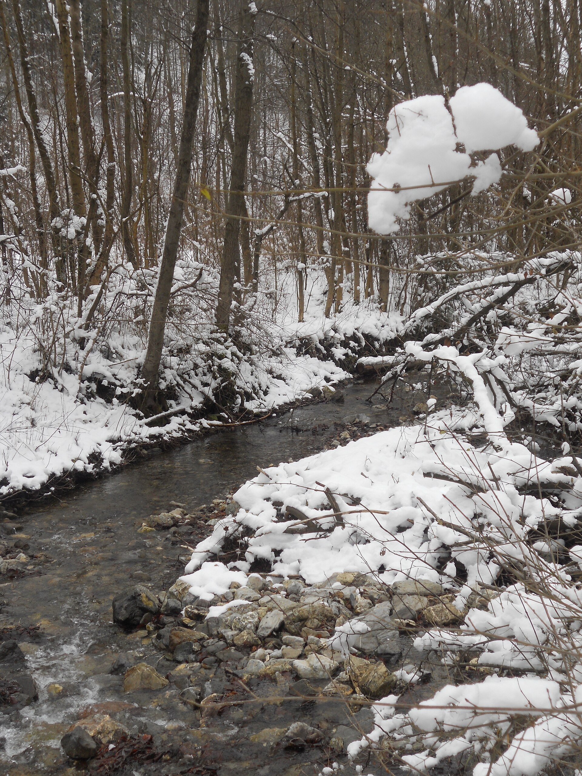
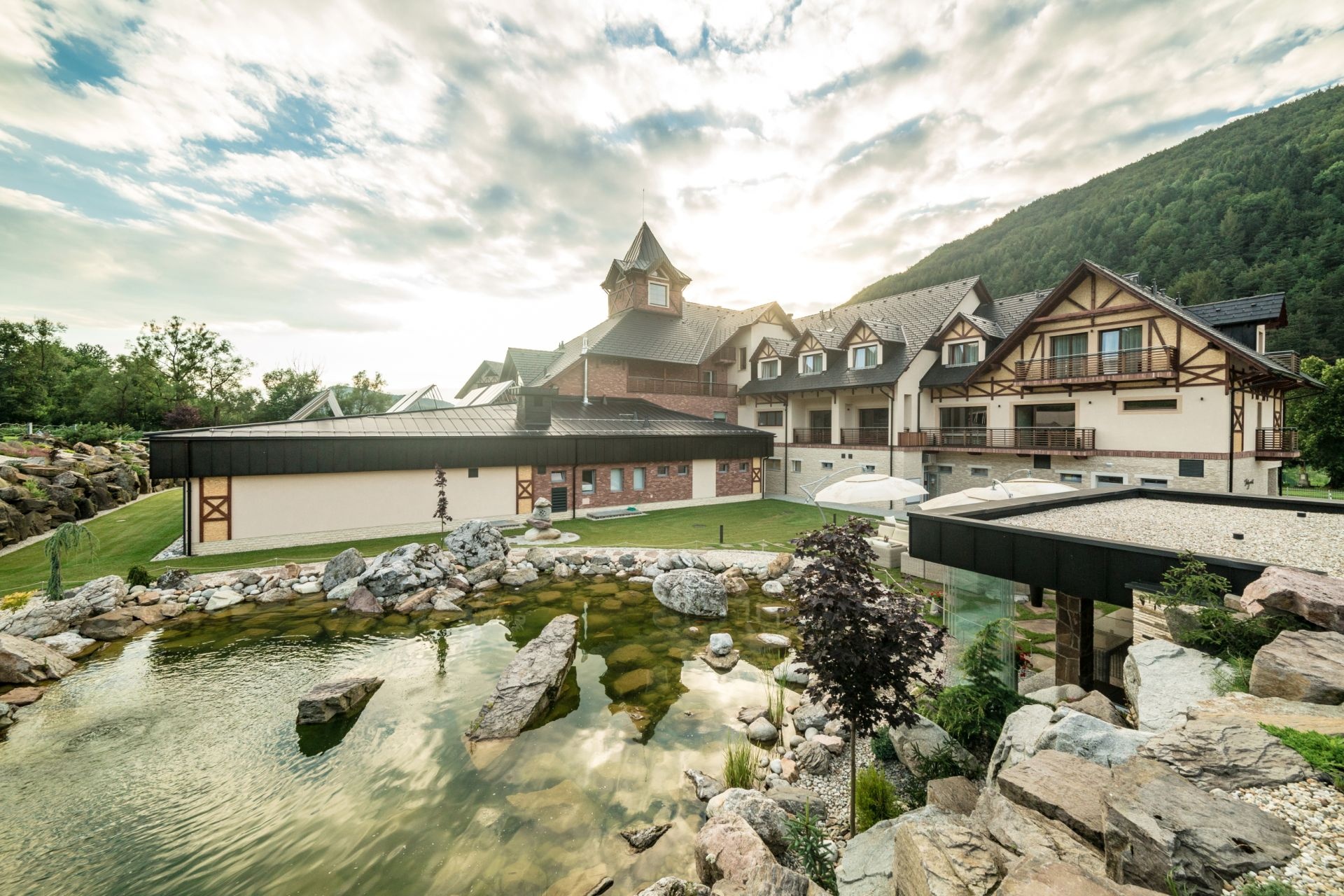
Photos: Vegetator, CC BY-SA 4.0 (Wikimedia Commons); Michal Jakubský, CC BY 3.0 (Wikimedia Commons); Michal Jakubský, CC BY 3.0 (Wikimedia Commons); Peter Derer, CC BY 3.0 (Wikimedia Commons); Village Resort Hanuliak, CC BY-SA 4.0 (Wikimedia Commons); Village Resort Hanuliak, CC BY-SA 4.0 (Wikimedia Commons)
Belá is a village and municipality in the Žilina District, Žilina region, Slovakia. It lies at an elevation of 494 m in the scenic Horné Považie region, near the Lesser Fatra mountains. The cadastral area of the municipality covers 38.61 km². The Belánsky stream, as well as Branica and Malá Branica brooks, flow through the village. As of 2025, Belá has a population of 3,240.
The first written mention of Belá dates back to 1378. The village has a long history connected to the development of the region and mountain traditions. Historical records are preserved at the state archive in Bytča, where Roman Catholic church records from 1686 to 1899 are available.
Belá is known for its natural surroundings and proximity to the Lesser Fatra, one of Slovakia’s notable mountain ranges. Nearby are popular natural and historical sites such as Jánošíkove diery, Starý hrad (Stargard), Strečno Castle, Terchová, and Vrátna dolina. The village attracts lovers of hiking, scenic landscapes, and the cultural heritage of the region.
Visitors can choose from numerous hiking trails, including "Strečno, pod hradom – sedlo pod Kojšovou – Stráňavy, horáreň", "Trnové – Stráňavy, lesníctvo – Saračníky", or "Medziholie – Medziholie – Medzirozsutce". Peaks such as Veľký Rozsutec, Stratenec, and Ľadonhora are accessible for climbers. Notable sights include Jánošíkove diery and Vrátna dolina. For accommodation and rest, there are huts such as Prístrešok pod Suchým, Chata na Grúni, and Prístrešok Vrátna.
Getting there from Ukraine
From Uzhhorod to Žilina is about 330 km, around 4 h 20 min without queues: Uzhhorod – Vyšné Nemecké → I/19 to Košice → D1 via Prešov, Poprad, Liptovský Mikuláš and Ružomberok (≈17 km on I/18 between D1 sections) → Žilina. To Terchová ≈314 km, ≈4 h 15 min: from the D1 onto I/70 and II/583. From Lviv through Poland: M-10 → Krakovets – Korczowa → A4 to Kraków → S7/DK7 to Chyżne – Trstená → R3, I/59 to Dolný Kubín → II/583 via Terchová to Žilina: to Terchová ≈493 km (≈6 h 30 min), to Žilina ≈518 km (≈7 h). Via the tolled A4 Kraków – Katowice, S1 and D3: ≈533 km, ≈6 h 35 min. The D1 requires an e-vignette (eznamka.sk).
Sources: Wikipedia, Wikidata, OpenStreetMap, Karpaty.rocks data. More on Wikipedia
Trails nearby
All trails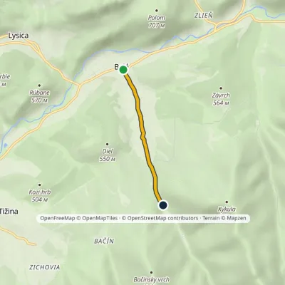 EasyOne-dayMarkedBelá RigaškaElevation profile444–528 m2.4 kmascent 84 m≈ 45 min walkingunder 1 km from the centre
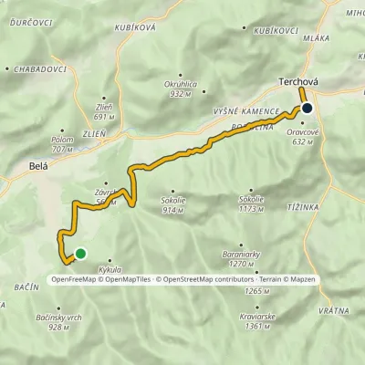 EasyOne-dayMarkedTerchová Belianske skalyElevation profile490–714 m10.9 kmascent 191 m≈ 3 h walking1.2 km from the centre
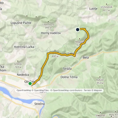 ModerateOne-dayMarkedGbeľany Saddle pod ZlieňomElevation profile366–743 m14.2 kmascent 716 m≈ 5 h walking1.4 km from the centre
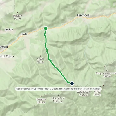 ModerateOne-dayMarkedBránica, junction Sedlo BublenElevation profile470–1 535 m7.7 kmascent 1 078 m≈ 4 h walking2.2 km from the centre
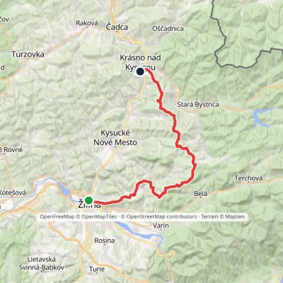 HardMulti-dayMarkedBudatín Krásno nad Kysucou, mestoElevation profile337–912 m41.2 kmascent 1 330 m≈ 13 h walking2.7 km from the centre
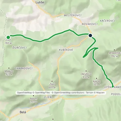 ModerateOne-dayMarkedVyšné Kamence ZlieňElevation profile493–836 m10.4 kmascent 505 m≈ 3.5 h walking4.1 km from the centre
Peaks nearby
All peaks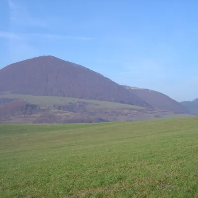 PeakĽadonhoraHorný Vadičovaltitude 999 m6.6 km from the centreĽadonhora is a forested 999 m summit in northern Slovakia and the second-highest peak of the Kysuce Highlands (Kysucká vrchovina).
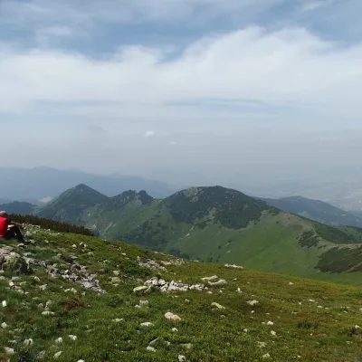 PeakStratenecKrasňanyaltitude 1 509 m6.8 km from the centreStratenec is a 1,509 m peak in the Lesser Fatra (Malá Fatra) in Slovakia. It stands on the main ridge of the Krivánska Fatra, about 8 km north of Vrútky and 9 km north...
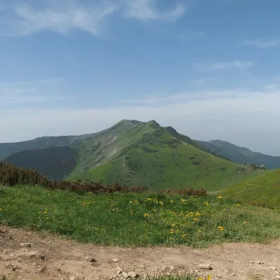 PeakMalý KriváňSučanyaltitude 1 668 m7.4 km from the centreMalý Kriváň (also Malý Fatranský Kriváň; Polish Mały Krywań) is a 1668 m summit and the second highest mountain of the whole Malá Fatra after Veľký Kriváň.
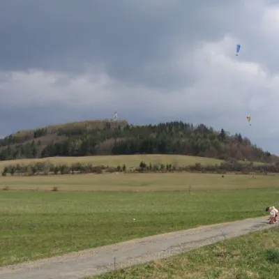 PeakStraníkŽilinaaltitude 769 m8.4 km from the centreStraník is a summit 769 m high in the Kysuce Highlands of northern Slovakia, about 5 km east of Žilina.
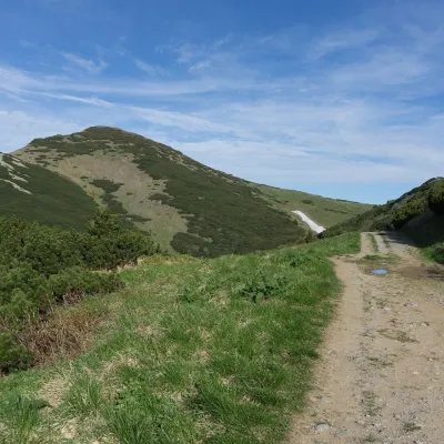 PeakVeľký KriváňTuranyaltitude 1 708 m8.6 km from the centreVeľký Kriváň (Polish Wielki Krywań) is the highest peak of the Lesser Fatra (Malá Fatra) at 1,708 m. It stands on the main ridge of the Krivánska Fatra — the part of...
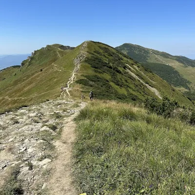 PeakChlebŠútovoaltitude 1 646 m9.8 km from the centreChleb (Slovak for “bread”) is a 1,646 m summit on the main ridge of the Lesser Fatra (Malá Fatra) and the third highest peak of the range.
What to visit
All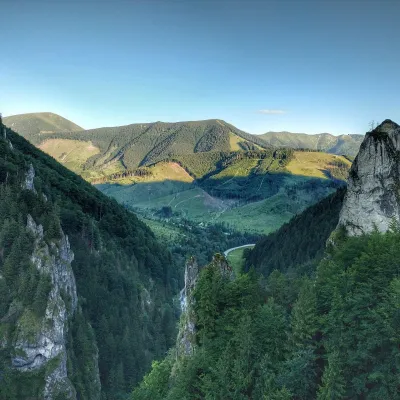 NatureVrátna ValleyTerchová6.7 km from the centreVrátna dolina, or simply Vrátna, is a valley in the Krivánska Malá Fatra and the largest centre of summer and winter tourism in these mountains.
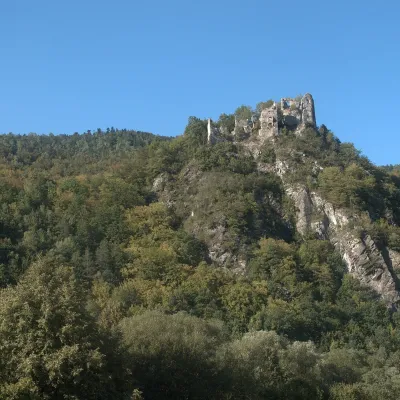 CastleStarý hrad (Old Castle)Nezbudská Lúčka7.8 km from the centreStarý hrad (Old Castle), known locally as Starhrad and in the past as Varín (Warna), is the ruin of a medieval castle on a granite crag on the right bank of the Váh,...
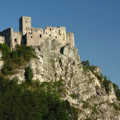 CastleStrečno CastleStrečno9.3 km from the centreThe castle guarding the gate of the Malá Fatra Strečno Castle (Hrad Strečno) stands on a 103 m limestone crag above the River Váh, 11 km from Žilina on the road to...
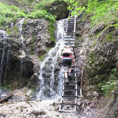 NatureJánošík's Holes (Jánošíkove diery)Terchová9.6 km from the centreJánošíkove diery (Jánošík’s Holes), or simply Diery, is a system of narrow gorges and canyons in the Krivánska Malá Fatra near the village of Terchová, birthplace of...
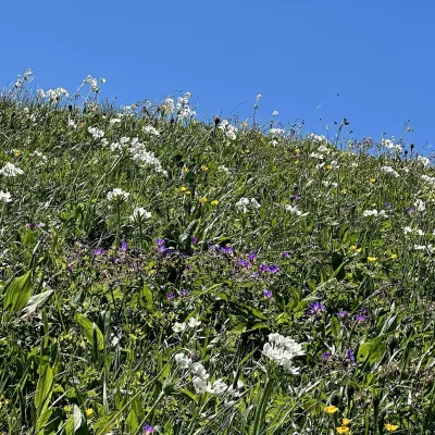 Mountain meadowThe hole of Malá Fatra: Chleb, Snilovské sedlo and HromovéŠútovoaltitude 1 647 m9.8 km from the centreThe hole of Malá Fatra are the treeless grassy ridges in the highest, Kriváň part of the range (Krivánska Malá Fatra) in northern Slovakia, above the Vrátna valley and...
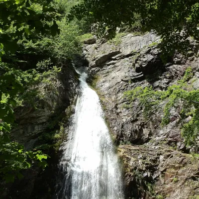 WaterfallŠútovo WaterfallŠútovo12 km from the centreThe Šútovo Waterfall (Šútovský vodopád) is the highest waterfall in the Malá Fatra mountains and one of the highest in Slovakia: the water drops 38 m.
Craft nearby
All craft places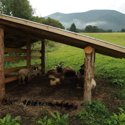 Cheese dairies & pasturesSalaš Syrex in Zázrivá — Home of the Zázrivá Korbáčik CheeseZázrivá12 km from the centreZázrivá is a scattered mountain village on the border of Orava and the Malá Fatra, famous throughout Slovakia for its korbáčiky: thin strings of steamed cheese braided...
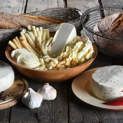 Cheese dairies & pasturesFarma Brezany near Žilina: hand-stretched cheese and a distilleryBrezany20 km from the centreBrezany is a village a few kilometres south of Žilina, on the edge of the Žilina basin and the foothills leading towards the Rajec valley and the Strážov Hills.
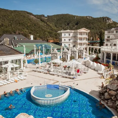 Water parks & thermal poolsSpa Aphrodite thermal pools, Rajecké TepliceRajecké Teplice23 km from the centreHot mineral water rises here, and it feeds the Spa Aphrodite resort, whose thermal pools, saunas and Natural Spa zone are open not only to patients but to anyone with...
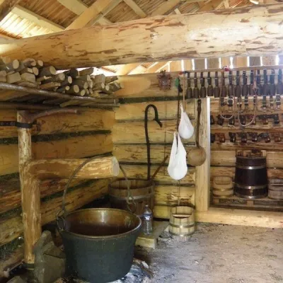 Cheese dairies & pasturesSalaš Krajinka near RužomberokRužomberok26 km from the centreSalaš Krajinka is a genuine sheep farm on the edge of Ružomberok in lower Liptov. It was founded in 1983 to keep a thousand sheep, and the owners have deliberately...
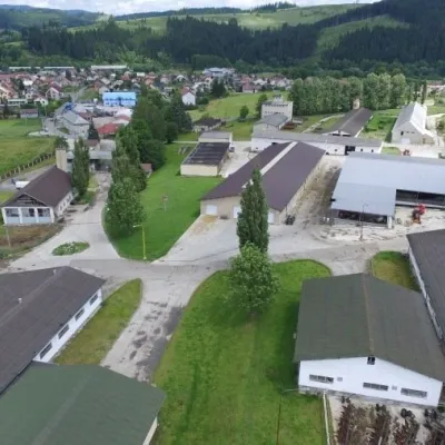 Cheese dairies & pasturesRaková farm in Kysuce: bryndza, žinčica and cheese cakesRaková27 km from the centreKysuce is a hilly region in north-western Slovakia, near the Polish and Czech borders, with scattered hillside hamlets (“kopanice”) and an old tradition of keeping...
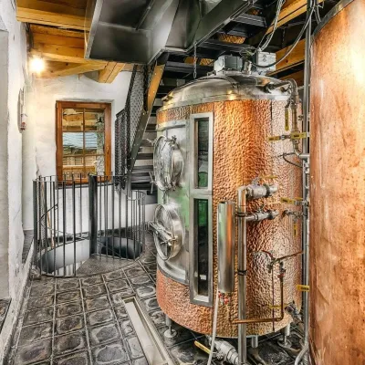 Craft beer & breweriesURSUS craft brewery, Čutkovská valleyRužomberok29 km from the centreURSUS craft brewery (Remeselný pivovar URSUS) is the first brewery of the town of Ružomberok, tucked away in the picturesque Čutkovská valley in lower Liptov.
Spas and thermal pools nearby
Huts, shelters and springs nearby
Getting there from Ukraine
Border crossings
- Uzhhorod – Vyšné Nemecké — road, 24/7
- Malyi Bereznyi – Ubľa — road, 24/7 For cars and buses; pedestrians not confirmed by the Ukrainian border service, lorries up to 3.5 t.
- Mali Selmentsi – Veľké Slemence (pedestrian) — pedestrian, 09:00–21:00 Kyiv time Pedestrians and cyclists only; inconvenient for the Tatras without onward transport.
- Chop – Čierna nad Tisou (rail) — rail, 24/7
By car
From Uzhhorod to Žilina ≈330 km, ≈4 h 20 min without queues: Uzhhorod – Vyšné Nemecké → I/19 to Košice → D1 via Prešov, Poprad, Liptovský Mikuláš and Ružomberok (≈17 km on I/18 between D1 sections) → Žilina. To Terchová ≈314 km, ≈4 h 15 min: from the D1 onto I/70 and II/583. From Lviv through Poland: M-10 → Krakovets – Korczowa → A4 to Kraków → S7/DK7 to Chyżne – Trstená → R3, I/59 to Dolný Kubín → II/583 via Terchová to Žilina: to Terchová ≈493 km (≈6 h 30 min), to Žilina ≈518 km (≈7 h). Via the tolled A4 Kraków – Katowice, S1 and D3: ≈533 km, ≈6 h 35 min. The D1 requires an e-vignette (eznamka.sk).
Checked 23.10.2026; border crossing hours and timetables change — check before you travel.
