Stratenec
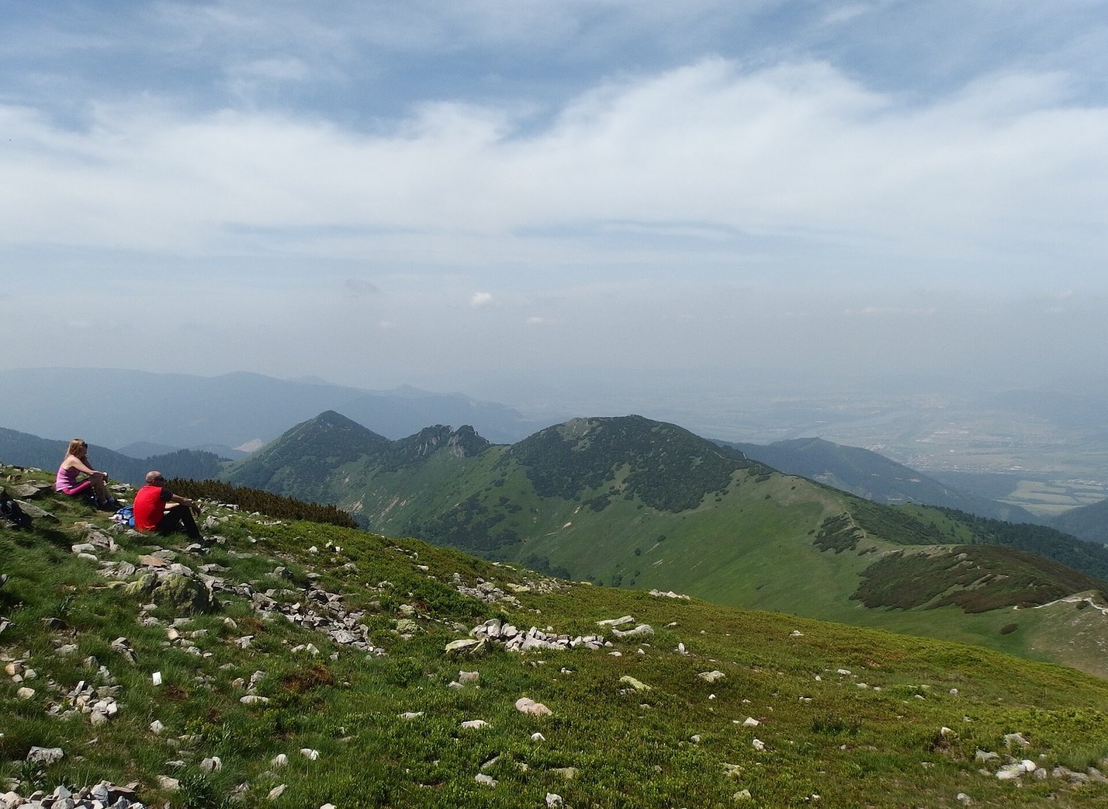
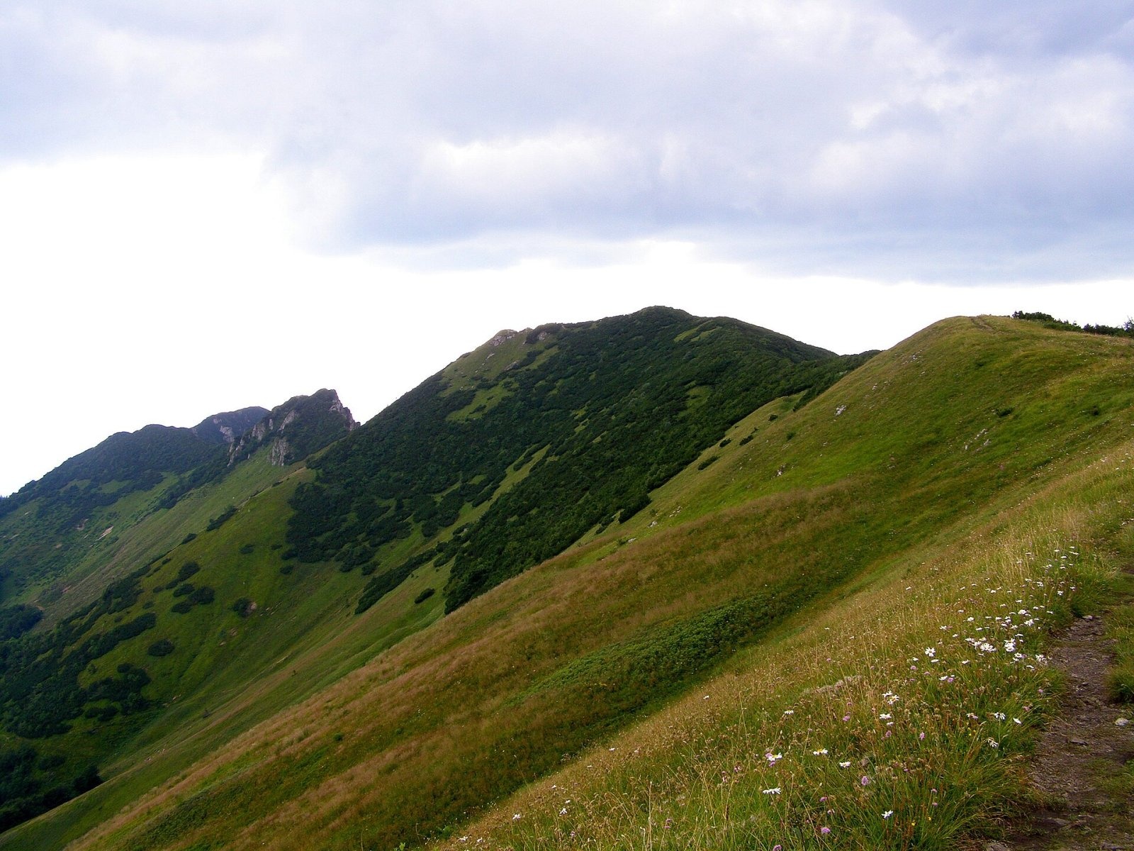
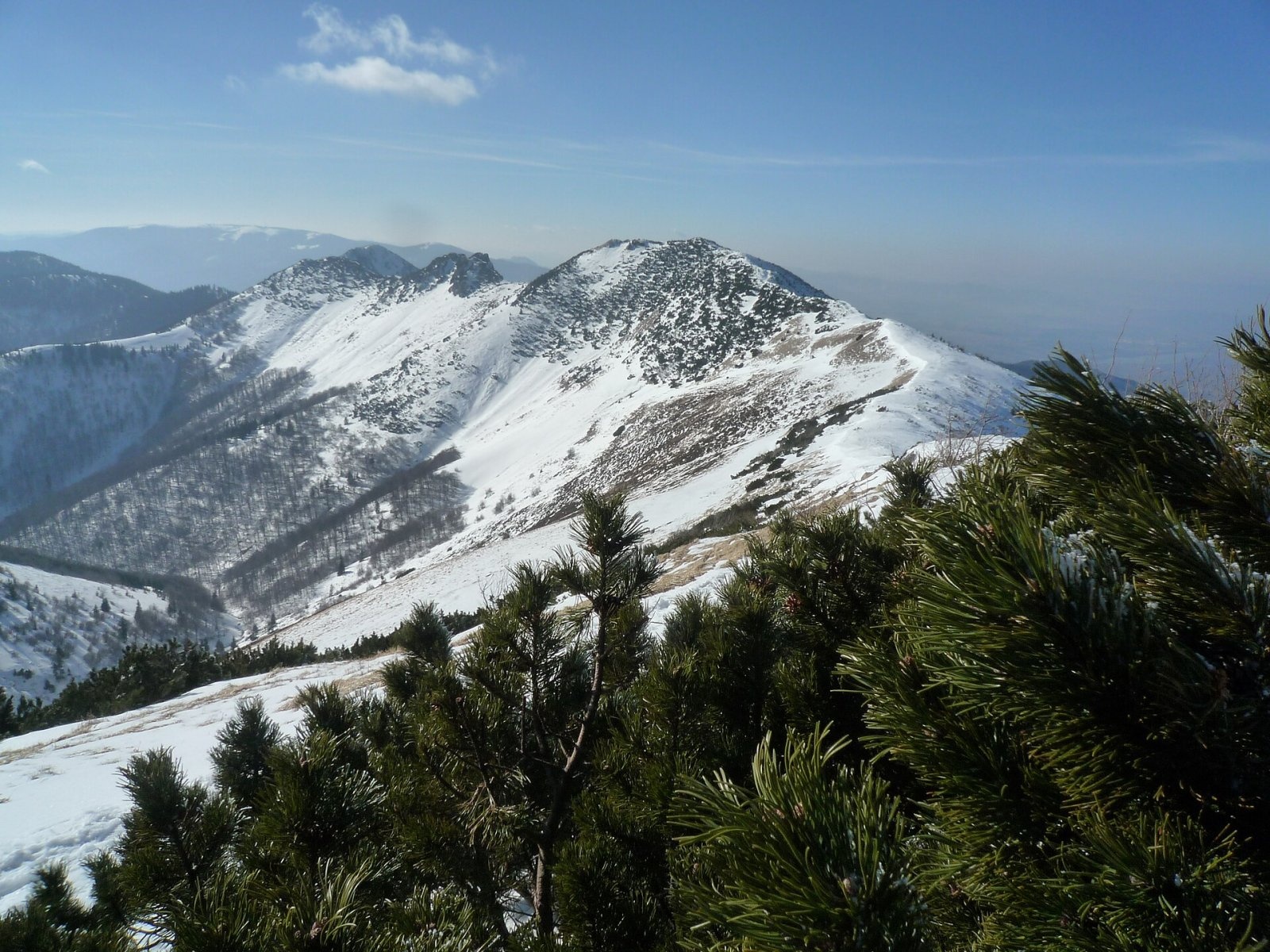
Stratenec is a 1,509 m peak in the Lesser Fatra (Malá Fatra) in Slovakia. It stands on the main ridge of the Krivánska Fatra, about 8 km north of Vrútky and 9 km north of the village of Sučany. The mountain lies on the boundary of the Žilina and Martin districts of the Žilina Region, in the cadastres of Krasňany and Sučany. The nearest settlements in a straight line are Dolná Tižina (about 5.7 km) to the north and Lipovec (about 6.5 km) to the south-east. Stratenec belongs to Malá Fatra National Park and is one of the most visited places in the range, because the main ridge trail runs over it.
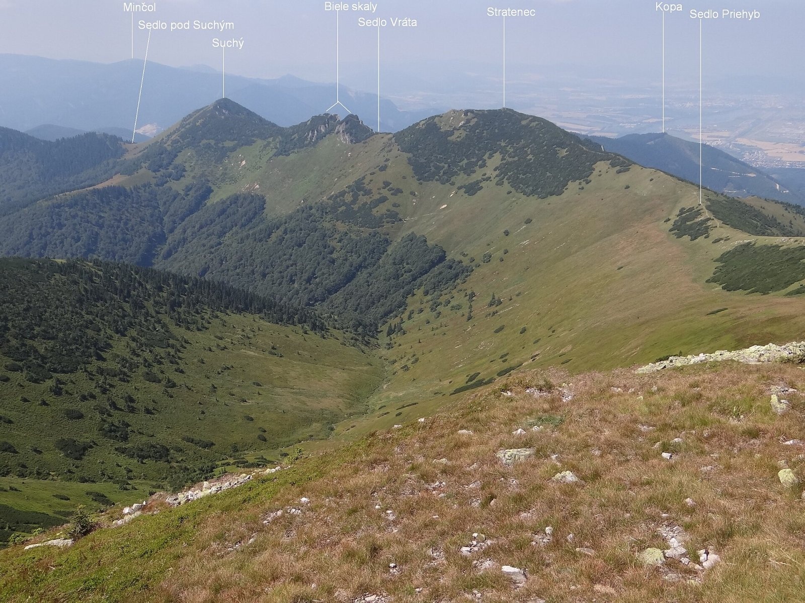
On the main ridge, Stratenec lies between Malý Kriváň (1,671 m) to the east, separated by the Priehyb saddle, and Biele skaly to the south-west, beyond the Vráta saddle. Further south-west the ridge continues over Suchý to the Váh valley. A short rocky spur runs north-west from the summit, splitting the head of the Kúr valley into two branches – the Kukurišova dolina to the north and the Prostredná dolina to the south. The north-western slopes drain via the Kúr streams to the Varínka; the south-eastern slopes fall to the Sučianska dolina, from where the Biely potok flows straight to the Váh.
Getting there / routes
The red-marked main ridge trail of the Lesser Fatra (KST 0802) crosses the summit; here it is part of the European long-distance path E3 and the international Eisenach–Budapest trail. You can come from the east from Malý Kriváň via the Priehyb saddle, or from the south-west from Suchý via Biele skaly and the Vráta saddle. Polish Wikipedia gives about 7 h 10 min one way for the long ridge traverse from Nezbudská Lúčka over Suchý, Stratenec and Malý Kriváň to Snilovské sedlo.
From the north-west a blue trail climbs from Krasňany through the Kúr valley to the Priehyb saddle. On the Sučianska dolina side a yellow trail comes up from the village of Lipovec, and from Turčianske Kľačany you can approach via Suchý.
The view from the top
The open, dwarf-pine-covered ridge offers long views from many spots. The east is partly blocked by massive Malý Kriváň, but in other directions, according to Slovak sources, you see many Krivánska Fatra peaks, the northern Lúčanská Fatra, the Súľov Mountains, the Javorníky and the Kysuce Highlands and, in good weather, the western Low Tatras, the Greater Fatra, Vtáčnik and the Orava, Kysuce and Moravian-Silesian Beskids.
Nature and history
The mountain is built of limestone of the Križná nappe; its slopes are grassy and gradually being overgrown by dwarf pine. The summit and the slopes falling to the Kúr valley belong to the Suchý national nature reserve. The rocky north-western spur hides the Old Stratenec Cave, about 135 m long, the Kukurišova Cave (63 m) and a 35 m deep shaft. Like all caves of the Lesser Fatra they are closed to the public, and no path leads to the spur itself – it is of interest to cavers only.
The height of Stratenec was refined in 2017: a GNSS survey using the RTK method gave 1,509.3 m instead of the previously quoted 1,512.6 m, so older maps and guides still show 1,513 m.
Safety, season and rules
The Lesser Fatra ridge is narrow and exposed with no forest, so it is dangerous in thunderstorms and strong wind; carry enough water. The best season is from late spring to autumn; in winter avalanches are possible on steep slopes and an ascent requires winter gear and experience. In Malá Fatra National Park and the Suchý reserve stay on marked trails and do not enter the caves or the rocky spur. Mountain Rescue Service HZS: 18 300 (+421 18 300), general emergency number 112.
Interesting facts
- Both the European path E3 and the international Eisenach–Budapest trail pass over Stratenec.
- In 2017 the summit “lost” almost 3.5 m after a precise satellite measurement.
- The mountain’s spur hides two caves and a 35-metre shaft.
Photos: Palickap, CC BY-SA 4.0; Daniel Baránek, CC BY-SA 3.0; Jerzy Opioła, CC BY-SA 3.0; MirecXP, CC BY-SA 3.0 — Wikimedia Commons.
Getting there from Ukraine
Border crossings
- Uzhhorod – Vyšné Nemecké — road, 24/7
- Malyi Bereznyi – Ubľa — road, 24/7 For cars and buses; pedestrians not confirmed by the Ukrainian border service, lorries up to 3.5 t.
- Mali Selmentsi – Veľké Slemence (pedestrian) — pedestrian, 09:00–21:00 Kyiv time Pedestrians and cyclists only; inconvenient for the Tatras without onward transport.
- Chop – Čierna nad Tisou (rail) — rail, 24/7
By car
From Uzhhorod to Žilina ≈330 km, ≈4 h 20 min without queues: Uzhhorod – Vyšné Nemecké → I/19 to Košice → D1 via Prešov, Poprad, Liptovský Mikuláš and Ružomberok (≈17 km on I/18 between D1 sections) → Žilina. To Terchová ≈314 km, ≈4 h 15 min: from the D1 onto I/70 and II/583. From Lviv through Poland: M-10 → Krakovets – Korczowa → A4 to Kraków → S7/DK7 to Chyżne – Trstená → R3, I/59 to Dolný Kubín → II/583 via Terchová to Žilina: to Terchová ≈493 km (≈6 h 30 min), to Žilina ≈518 km (≈7 h). Via the tolled A4 Kraków – Katowice, S1 and D3: ≈533 km, ≈6 h 35 min. The D1 requires an e-vignette (eznamka.sk).
Checked 23.10.2026; border crossing hours and timetables change — check before you travel.
Location on the map
Water and shelter nearby
- Spring below Suchý (south-east slope)1.2 km · Not verified · 1 319 m
- Spring below Ostredok (north slope), 1 365 m1.7 km · Not verified · 1 365 m
- Spring below Suchý (south slope)1.9 km · Not verified · 1 249 m
- Vendovka Hut1.9 km · Standing · 1 343 m
- Spring below Ostredok (north-east slope), 1 344 m1.9 km · Not verified · 1 344 m
- Chata pod Suchým2.4 km · Standing · 1 075 m
- Spring below Kopa (south-east slope)2.4 km · Not verified · 1 072 m
Comments
Trails nearby
All trails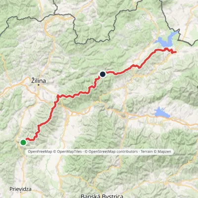 HardMulti-dayMarkedKľak TrstenáElevation profile354–1 671 m119.6 kmascent 7 571 munder 1 km from Stratenec
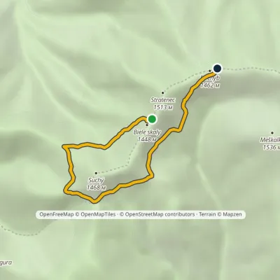 EasyOne-dayMarkedSedlo Priehyb Sedlo VrátaElevation profile1 205–1 452 m4.9 kmascent 270 m≈ 2 h walkingunder 1 km from Stratenec
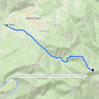 ModerateOne-dayMarkedKrasňany Priehyb SaddleElevation profile385–1 452 m8.9 kmascent 1 066 m≈ 4.5 h walkingunder 1 km from Stratenec
Nearby attractions
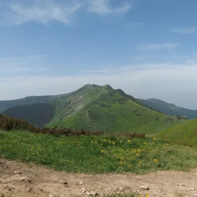 PeakMalý KriváňSučanyaltitude 1 668 m1.8 km from StratenecMalý Kriváň (also Malý Fatranský Kriváň; Polish Mały Krywań) is a 1668 m summit and the second highest mountain of the whole Malá Fatra after Veľký Kriváň.
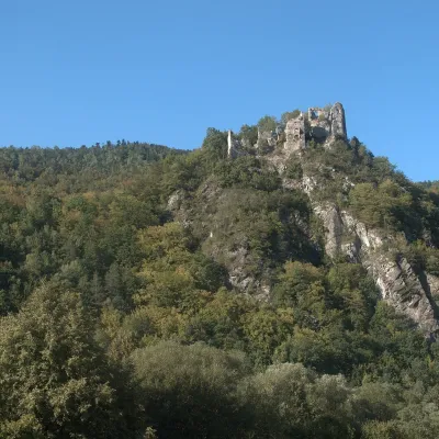 CastleStarý hrad (Old Castle)Nezbudská Lúčka5.6 km from StratenecStarý hrad (Old Castle), known locally as Starhrad and in the past as Varín (Warna), is the ruin of a medieval castle on a granite crag on the right bank of the Váh,...
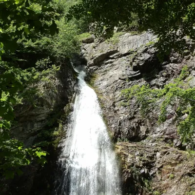 WaterfallŠútovo WaterfallŠútovo8.4 km from StratenecThe Šútovo Waterfall (Šútovský vodopád) is the highest waterfall in the Malá Fatra mountains and one of the highest in Slovakia: the water drops 38 m.
Craft nearby
All craft places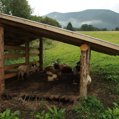 Cheese dairies & pasturesSalaš Syrex in Zázrivá — Home of the Zázrivá Korbáčik CheeseZázrivá14 km from StratenecZázrivá is a scattered mountain village on the border of Orava and the Malá Fatra, famous throughout Slovakia for its korbáčiky: thin strings of steamed cheese braided...
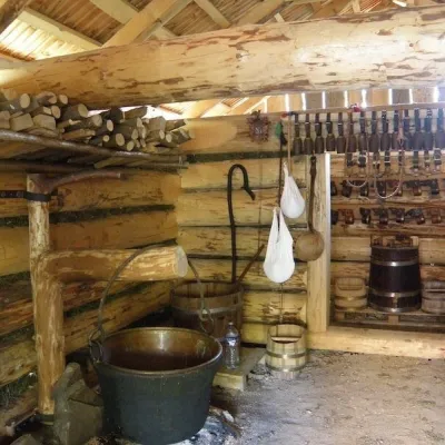 Cheese dairies & pasturesSalaš Krajinka near RužomberokRužomberok21 km from StratenecSalaš Krajinka is a genuine sheep farm on the edge of Ružomberok in lower Liptov. It was founded in 1983 to keep a thousand sheep, and the owners have deliberately...
 Water parks & thermal poolsSpa Aphrodite thermal pools, Rajecké TepliceRajecké Teplice22 km from StratenecHot mineral water rises here, and it feeds the Spa Aphrodite resort, whose thermal pools, saunas and Natural Spa zone are open not only to patients but to anyone with...
 Cheese dairies & pasturesFarma Brezany near Žilina: hand-stretched cheese and a distilleryBrezany22 km from StratenecBrezany is a village a few kilometres south of Žilina, on the edge of the Žilina basin and the foothills leading towards the Rajec valley and the Strážov Hills.
 Craft beer & breweriesURSUS craft brewery, Čutkovská valleyRužomberok24 km from StratenecURSUS craft brewery (Remeselný pivovar URSUS) is the first brewery of the town of Ružomberok, tucked away in the picturesque Čutkovská valley in lower Liptov.
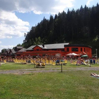 Water parks & thermal poolsLúčky Spa and AQUA-VITAL ParkLúčky32 km from StratenecLúčky Spa (Kúpele Lúčky) lies in a quiet valley beneath the Choč Mountains, in the village of Lúčky near Ružomberok.
