Malý Kriváň
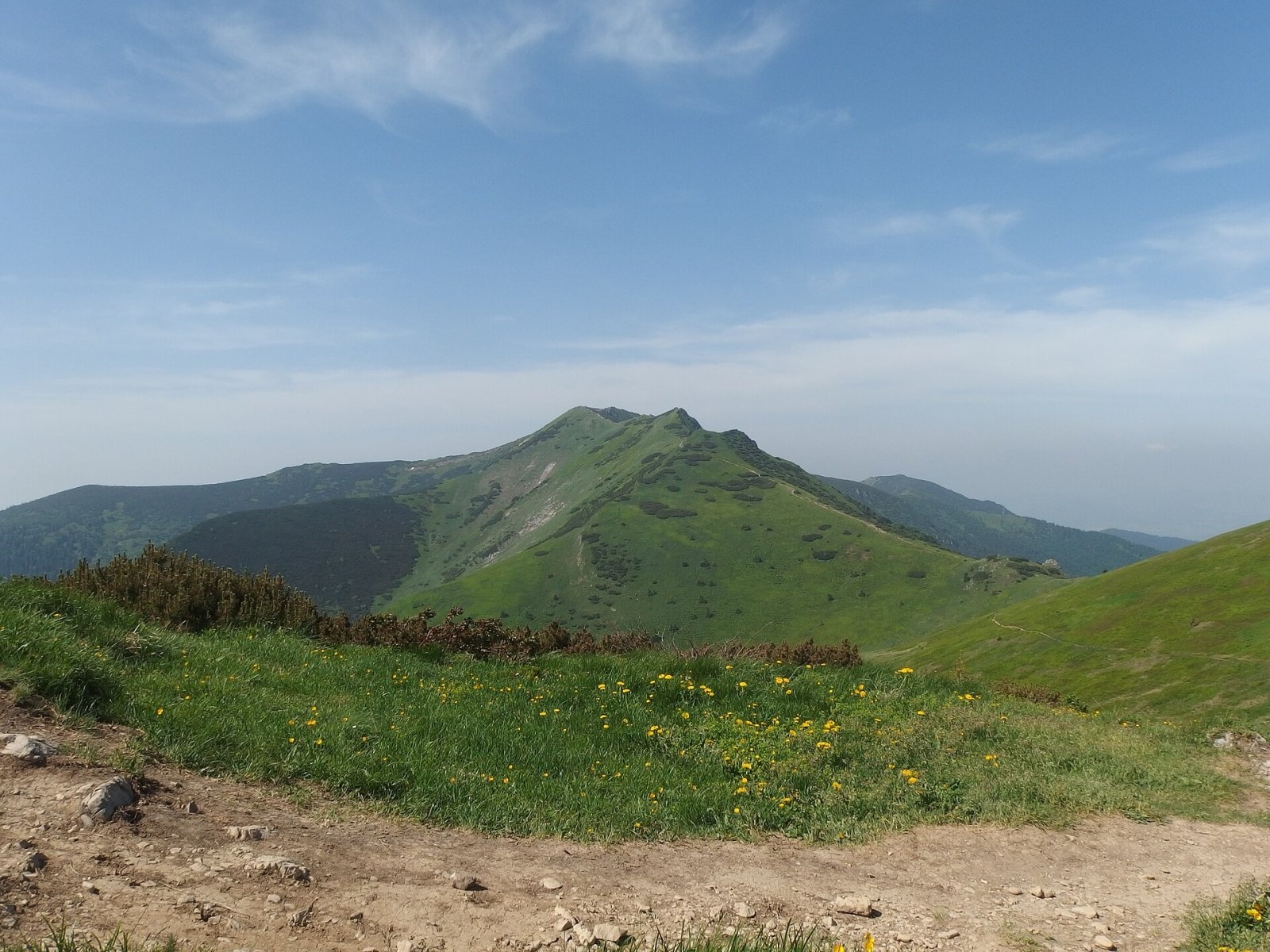
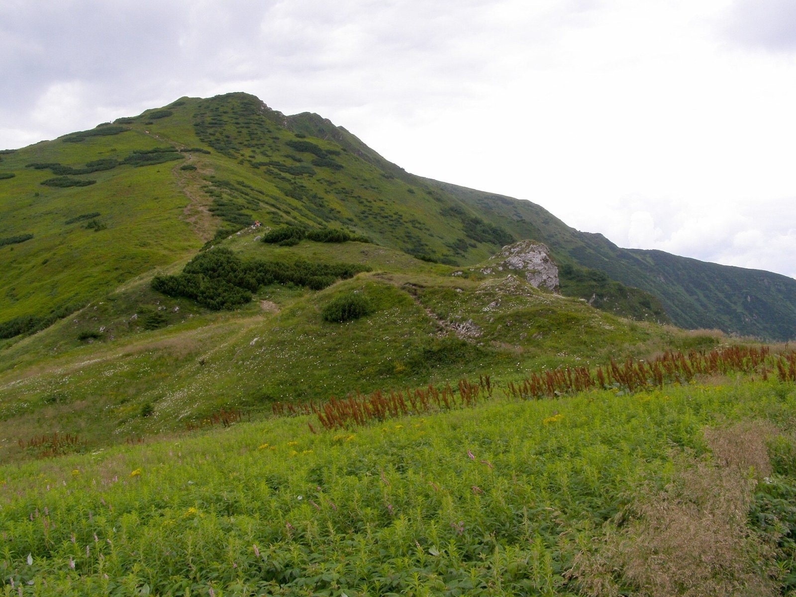
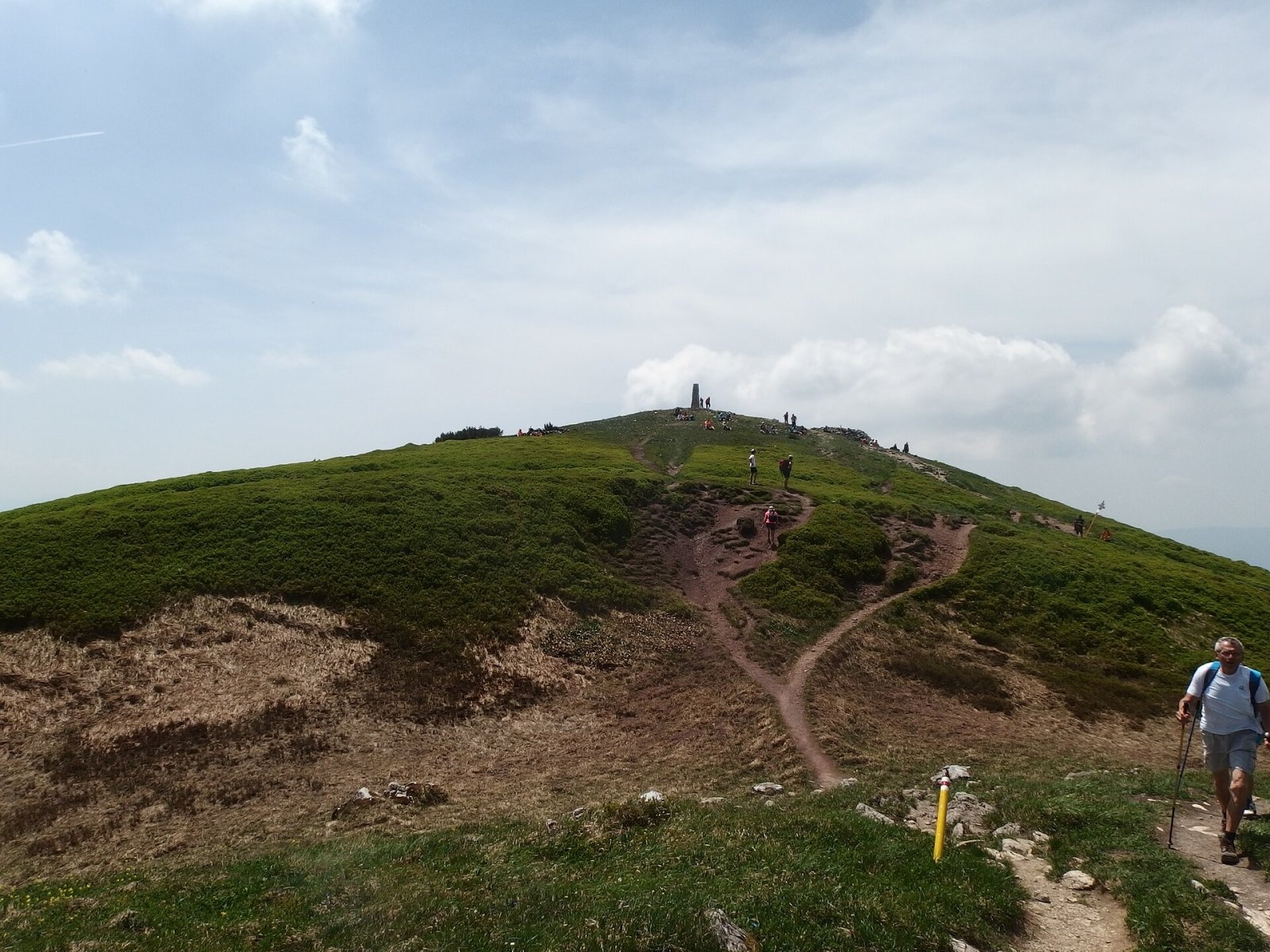
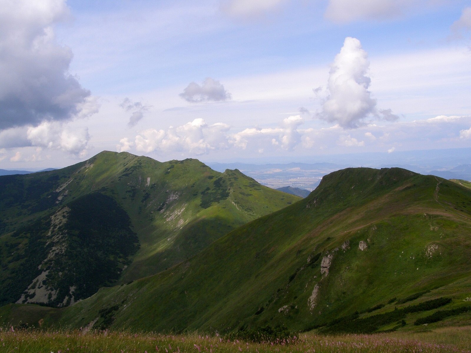
Malý Kriváň (also Malý Fatranský Kriváň; Polish Mały Krywań) is a 1668 m summit and the second highest mountain of the whole Malá Fatra after Veľký Kriváň. It stands in the southern part of the main ridge of the Krivánska Fatra, about 8 km north of Vrútky, on the boundary of Žilina and Martin districts in the Žilina Region. Around it lie the lands of the town of Turany and the villages of Krasňany, Belá and Sučany.
The main ridge arrives from the north-east, from Veľký Kriváň (1709 m) via the Bublen saddle and the Koniarky peak, then turns west via the Priehyb saddle and south-west to Stratenec (1509 m). Four ridges radiate from the massif, among them a southern one via Meškalka and Ostredok to Veľká Kráľová. Malý Kriváň rises above four valleys: the Studenec stream valley, the Tiesňavy gorge and the Sučianska and Belianska valleys. The steep, avalanche-prone northern slopes form a wide cirque above the Belianska dolina.
How to get there / routes
- The easiest way – take the cabin lift from the Vrátna valley to Snilovské sedlo, then follow the red trail along the ridge via the Bublen saddle.
- Along the main ridge – red trail (part of the European E3) from Nezbudská Lúčka past the Chata pod Suchým hut via Suchý, the Vráta saddle, Stratenec and the Priehyb saddle. The whole stretch from Nezbudská Lúčka to Snilovské sedlo takes about 7 h 10 min.
- Blue trails – from Sučany through the Sučianska dolina via Veľká Kráľová and Ostredok, or from Krasňany via the Priehyb saddle.
- Green trail – from Varín to the Javorina junction, then red.
The summit itself is rarely a goal on its own: most people cross it while walking the main ridge of the Malá Fatra.
What you can see from the top
The rocky summit without tall vegetation offers an all-round view. To the north-east the peaks of the Krivánska Fatra partly block the horizon, to the south-west the Martinské hole dominate. The Žilina and Turiec basins are clearly visible and, in good conditions, so are the Western and Low Tatras, the Veľká Fatra, the Kremnica Mountains, Vtáčnik, the Súľov Mountains, the Javorníky and the Kysuce, Orava and Moravian-Silesian Beskids.
Nature and history
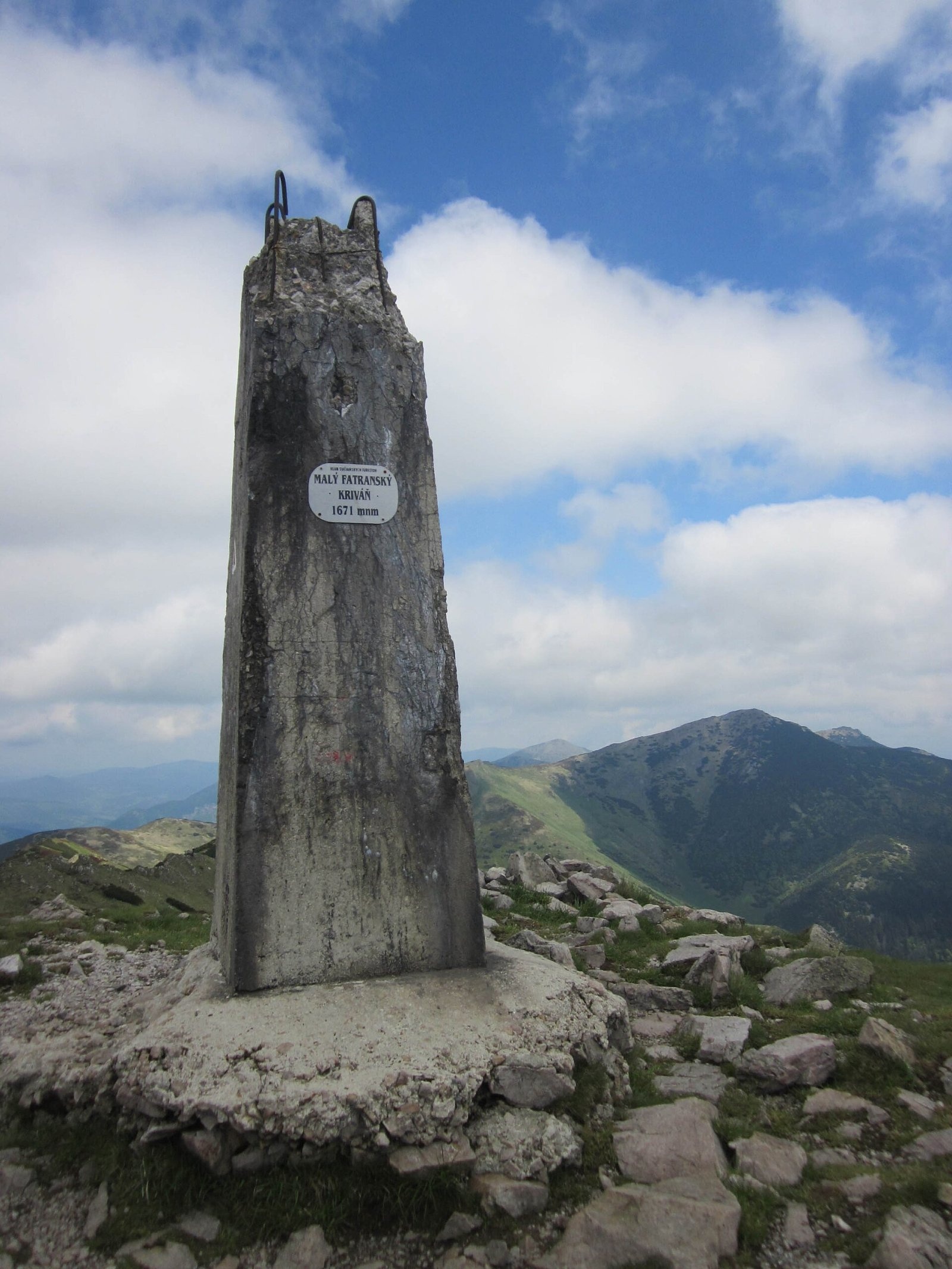
The broad, flat summit is stony and grassy, with limestone crags and rich lime-loving and alpine vegetation. Mountain meadows reach down to about 1350–1400 m, dwarf mountain pine grows on the southern slopes, and lower down the slopes are fully forested. On the top stands a concrete obelisk with the mountain's name and height, and several stone "nests" suitable for a bivouac. The massif lies in the Malá Fatra National Park, and the whole northern cirque above the Belianska dolina is protected by the Prípor national nature reserve.
There are several caves in the massif. The best known, the Malokrivánska priepasť, has its entrance at about 1620 m; in 1970 cavers led by A. Droppa explored it to a depth of about 60 m. In 1986 meltwater in the cave was dyed and in less than a day it appeared at a resurgence in the Belianska dolina more than 1000 m lower – the largest confirmed vertical range of a karst hydrological system in Slovakia.
Safety, season and rules
The Malá Fatra ridge is exposed to wind and storms, and the upper slopes are steep and avalanche-prone in winter. Remember that from the cable car to the summit it is a few hours along an open ridge, so watch the forecast and the time of the last lift down. In the national park stay on marked trails – all the more in the Prípor reserve. In the Slovak mountains help comes from the Mountain Rescue Service HZS: 18 300 (+421 18 300) or 112.
Interesting facts
- For a long time the height was given as 1670.9 m; a GNSS survey in 2017 refined it to 1667.88 m.
- The international long-distance trail E3 crosses the summit.
Photos: Palickap, CC BY-SA 4.0; Daniel Baránek, CC BY-SA 3.0; Palickap, CC BY-SA 4.0; Vegetator, CC BY 3.0; Daniel Baránek, CC BY-SA 3.0; Vegetator, CC BY-SA 4.0 — Wikimedia Commons.
Getting there from Ukraine
Border crossings
- Uzhhorod – Vyšné Nemecké — road, 24/7
- Malyi Bereznyi – Ubľa — road, 24/7 For cars and buses; pedestrians not confirmed by the Ukrainian border service, lorries up to 3.5 t.
- Mali Selmentsi – Veľké Slemence (pedestrian) — pedestrian, 09:00–21:00 Kyiv time Pedestrians and cyclists only; inconvenient for the Tatras without onward transport.
- Chop – Čierna nad Tisou (rail) — rail, 24/7
By car
From Uzhhorod to Žilina ≈330 km, ≈4 h 20 min without queues: Uzhhorod – Vyšné Nemecké → I/19 to Košice → D1 via Prešov, Poprad, Liptovský Mikuláš and Ružomberok (≈17 km on I/18 between D1 sections) → Žilina. To Terchová ≈314 km, ≈4 h 15 min: from the D1 onto I/70 and II/583. From Lviv through Poland: M-10 → Krakovets – Korczowa → A4 to Kraków → S7/DK7 to Chyżne – Trstená → R3, I/59 to Dolný Kubín → II/583 via Terchová to Žilina: to Terchová ≈493 km (≈6 h 30 min), to Žilina ≈518 km (≈7 h). Via the tolled A4 Kraków – Katowice, S1 and D3: ≈533 km, ≈6 h 35 min. The D1 requires an e-vignette (eznamka.sk).
Checked 23.10.2026; border crossing hours and timetables change — check before you travel.
Location on the map
Water and shelter nearby
- Spring below Ostredok (north slope), 1 365 m1.2 km · Not verified · 1 365 m
- Spring below Ostredok (north-east slope), 1 344 m1.4 km · Not verified · 1 344 m
- Vendovka Hut1.4 km · Standing · 1 343 m
- Spring below Koniarky (south-west slope)1.6 km · Not verified · 1 454 m
- Spring below Koniarky (north-east slope)2.3 km · Not verified · 1 379 m
- Spring below Suchý (south-east slope)2.7 km · Not verified · 1 319 m
Comments
Trails via Malý Kriváň
All 2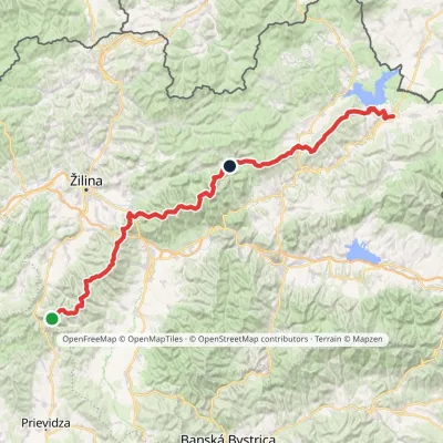

Nearby attractions
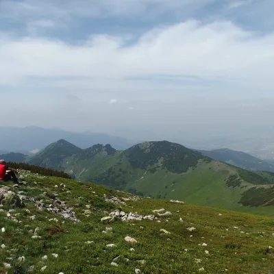 PeakStratenecKrasňanyaltitude 1 509 m1.8 km from Malý Kriváň1 trail to the topStratenec is a 1,509 m peak in the Lesser Fatra (Malá Fatra) in Slovakia. It stands on the main ridge of the Krivánska Fatra, about 8 km north of Vrútky and 9 km north...
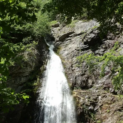 WaterfallŠútovo WaterfallŠútovo6.6 km from Malý KriváňThe Šútovo Waterfall (Šútovský vodopád) is the highest waterfall in the Malá Fatra mountains and one of the highest in Slovakia: the water drops 38 m.
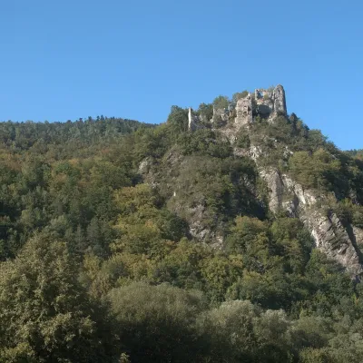 CastleStarý hrad (Old Castle)Nezbudská Lúčka7.4 km from Malý KriváňStarý hrad (Old Castle), known locally as Starhrad and in the past as Varín (Warna), is the ruin of a medieval castle on a granite crag on the right bank of the Váh,...
Craft nearby
All craft places Cheese dairies & pasturesSalaš Syrex in Zázrivá — Home of the Zázrivá Korbáčik CheeseZázrivá12 km from Malý KriváňZázrivá is a scattered mountain village on the border of Orava and the Malá Fatra, famous throughout Slovakia for its korbáčiky: thin strings of steamed cheese braided...
 Cheese dairies & pasturesSalaš Krajinka near RužomberokRužomberok19 km from Malý KriváňSalaš Krajinka is a genuine sheep farm on the edge of Ružomberok in lower Liptov. It was founded in 1983 to keep a thousand sheep, and the owners have deliberately...
 Craft beer & breweriesURSUS craft brewery, Čutkovská valleyRužomberok22 km from Malý KriváňURSUS craft brewery (Remeselný pivovar URSUS) is the first brewery of the town of Ružomberok, tucked away in the picturesque Čutkovská valley in lower Liptov.
 Water parks & thermal poolsSpa Aphrodite thermal pools, Rajecké TepliceRajecké Teplice23 km from Malý KriváňHot mineral water rises here, and it feeds the Spa Aphrodite resort, whose thermal pools, saunas and Natural Spa zone are open not only to patients but to anyone with...
 Cheese dairies & pasturesFarma Brezany near Žilina: hand-stretched cheese and a distilleryBrezany23 km from Malý KriváňBrezany is a village a few kilometres south of Žilina, on the edge of the Žilina basin and the foothills leading towards the Rajec valley and the Strážov Hills.
 Water parks & thermal poolsLúčky Spa and AQUA-VITAL ParkLúčky30 km from Malý KriváňLúčky Spa (Kúpele Lúčky) lies in a quiet valley beneath the Choč Mountains, in the village of Lúčky near Ružomberok.
