Žilina region
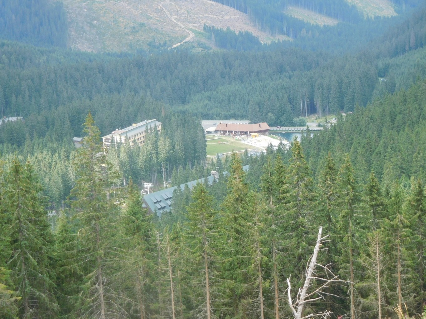
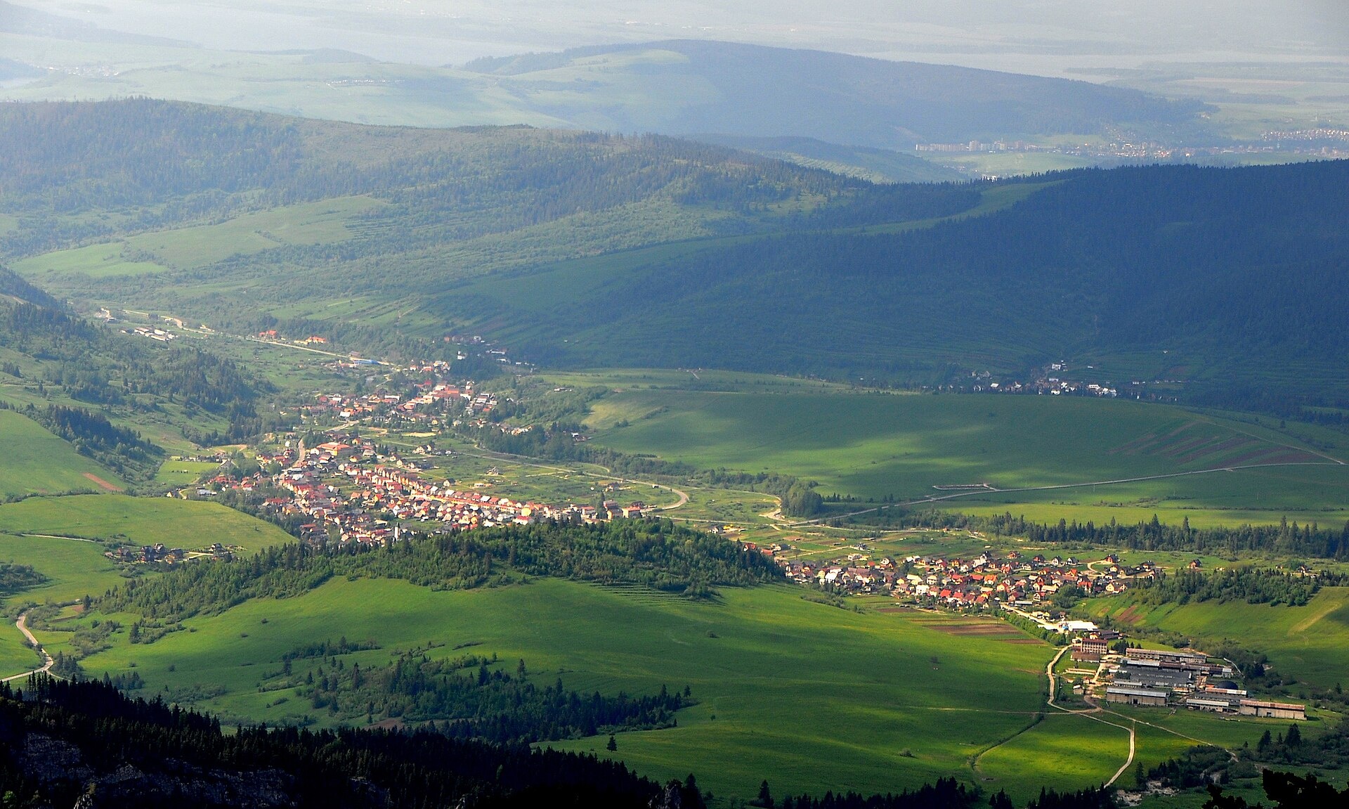
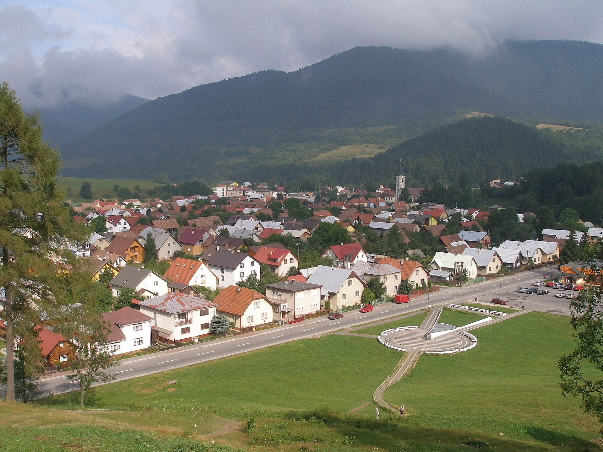
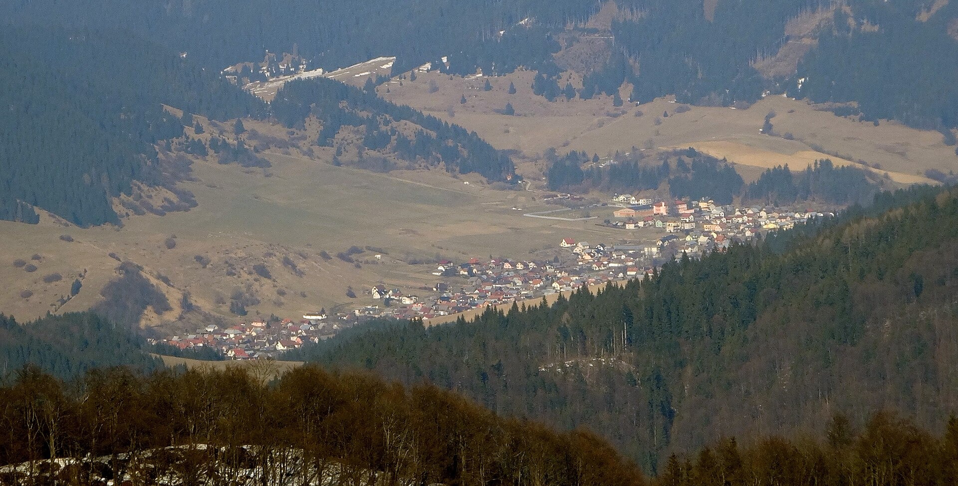
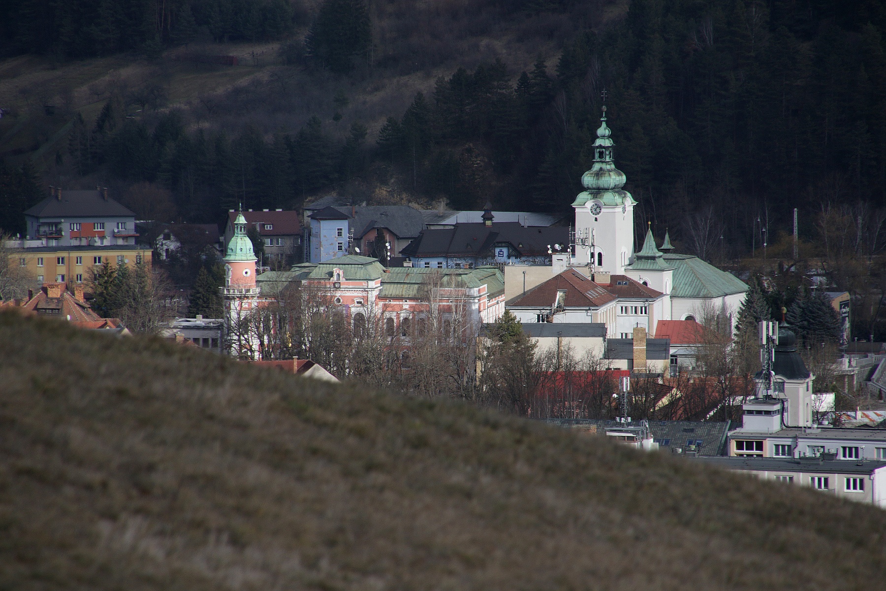
Photos: Demänovská Dolina (Pe3kZA, CC BY-SA 4.0); Zuberec (Teslaton, CC BY 4.0); Terchová (Jozef Kotulič, CC BY-SA 3.0); Liptovské Revúce (Pe3kZA, CC BY-SA 4.0); Ružomberok (Mineralysk, CC0)
Žilina region is an administrative region in northern Slovakia, with Žilina as its center. Historically, the area was part of Great Moravia and later the Kingdom of Hungary. The current borders were established in 1996. The region borders Prešov, Banská Bystrica, and Trenčín regions, as well as Poland and the Czech Republic.
The region is known for its mountainous landscape, belonging to the Western Carpathians. Notable ranges include the Lesser Fatra, Greater Fatra, Javorníky, Oravská Magura, Chočské vrchy, Low and Western Tatras. The highest peak is Bystrá (2,248 m) in the Western Tatras. The Váh river and its tributaries Turiec, Rajčanka, Belá, Orava, and Kysuca flow through the area.
The site features numerous objects in the Žilina region, with the most in Liptovský Mikuláš, Žilina, Ružomberok, Martin, and Čadca districts. Visitors can find popular trails such as the Tatra Magistrala, peaks like Baníkov, Bystrá, Chopok, and Ďumbier, and sights including Demänovská Cave of Liberty, Orava Castle, and Liptovská Mara. There are also farms, cheese dairies, breweries, thermal baths, and mountain huts for relaxation.
Getting there from Ukraine
From Uzhhorod ≈275 km, ≈3 h 35 min without queues: Uzhhorod – Vyšné Nemecké → I/19 to Košice → D1 motorway via Prešov, Poprad and Liptovský Mikuláš to Ružomberok (≈270 km, ≈3 h 25 min from the border). From Lviv it is faster through Poland: M-10 → Krakovets – Korczowa → A4 to Kraków → S7/DK7 to the Chyżne – Trstená border → R3 and I/59 via Dolný Kubín to Ružomberok: ≈482 km, ≈6 h 15 min (via Uzhok and Ubľa ≈500 km, ≈7 h 30 min). The D1 requires an e-vignette (eznamka.sk).
Sources: Wikipedia, Wikidata, OpenStreetMap, Karpaty.rocks data.
What's nearby
Towns, villages and districts
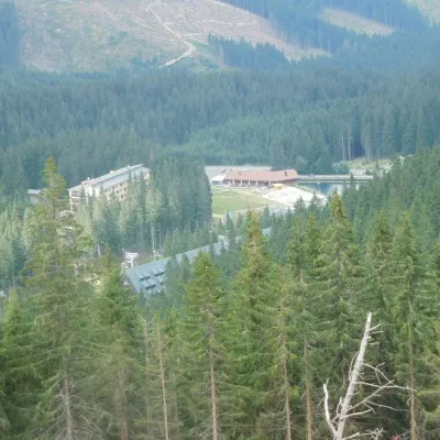 Liptovský Mikuláš Districtokres Liptovský Mikuláš82 trails, 21 peaks, 17 sights
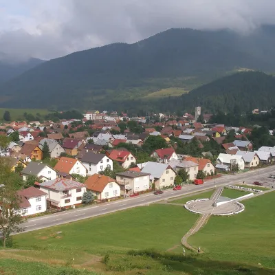 Žilina Districtokres Žilina96 trails, 6 peaks, 8 sights
 Ružomberok Districtokres Ružomberok65 trails, 9 peaks, 6 sights
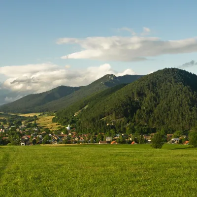 Martin Districtokres Martin65 trails, 6 peaks, 5 sights
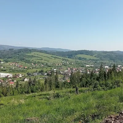 Čadca Districtokres Čadca66 trails, 4 peaks, 3 sights
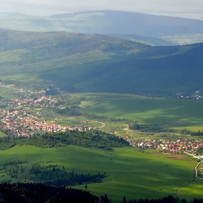 Tvrdošín Districtokres Tvrdošín30 trails, 8 peaks, 5 sights
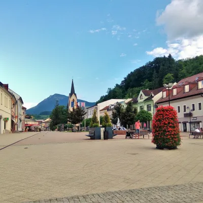 Dolný Kubín Districtokres Dolný Kubín30 trails, 3 peaks, 4 sights
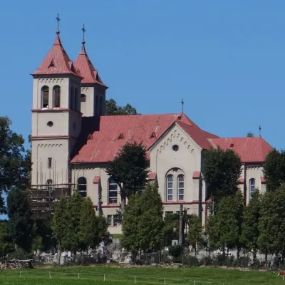 Námestovo Districtokres Námestovo25 trails, 3 peaks, 1 sight
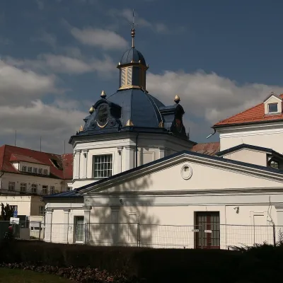 Turčianske Teplice Districtokres Turčianske Teplice17 trails, 1 peak, 1 craft place
Getting there from Ukraine
Border crossings
- Uzhhorod – Vyšné Nemecké — road, 24/7
- Malyi Bereznyi – Ubľa — road, 24/7 For cars and buses; pedestrians not confirmed by the Ukrainian border service, lorries up to 3.5 t.
- Mali Selmentsi – Veľké Slemence (pedestrian) — pedestrian, 09:00–21:00 Kyiv time Pedestrians and cyclists only; inconvenient for the Tatras without onward transport.
- Chop – Čierna nad Tisou (rail) — rail, 24/7
By car
From Uzhhorod ≈275 km, ≈3 h 35 min without queues: Uzhhorod – Vyšné Nemecké → I/19 to Košice → D1 motorway via Prešov, Poprad and Liptovský Mikuláš to Ružomberok (≈270 km, ≈3 h 25 min from the border). From Lviv it is faster through Poland: M-10 → Krakovets – Korczowa → A4 to Kraków → S7/DK7 to the Chyżne – Trstená border → R3 and I/59 via Dolný Kubín to Ružomberok: ≈482 km, ≈6 h 15 min (via Uzhok and Ubľa ≈500 km, ≈7 h 30 min). The D1 requires an e-vignette (eznamka.sk).
Checked 23.10.2026; border crossing hours and timetables change — check before you travel.
