Stożek Wielki
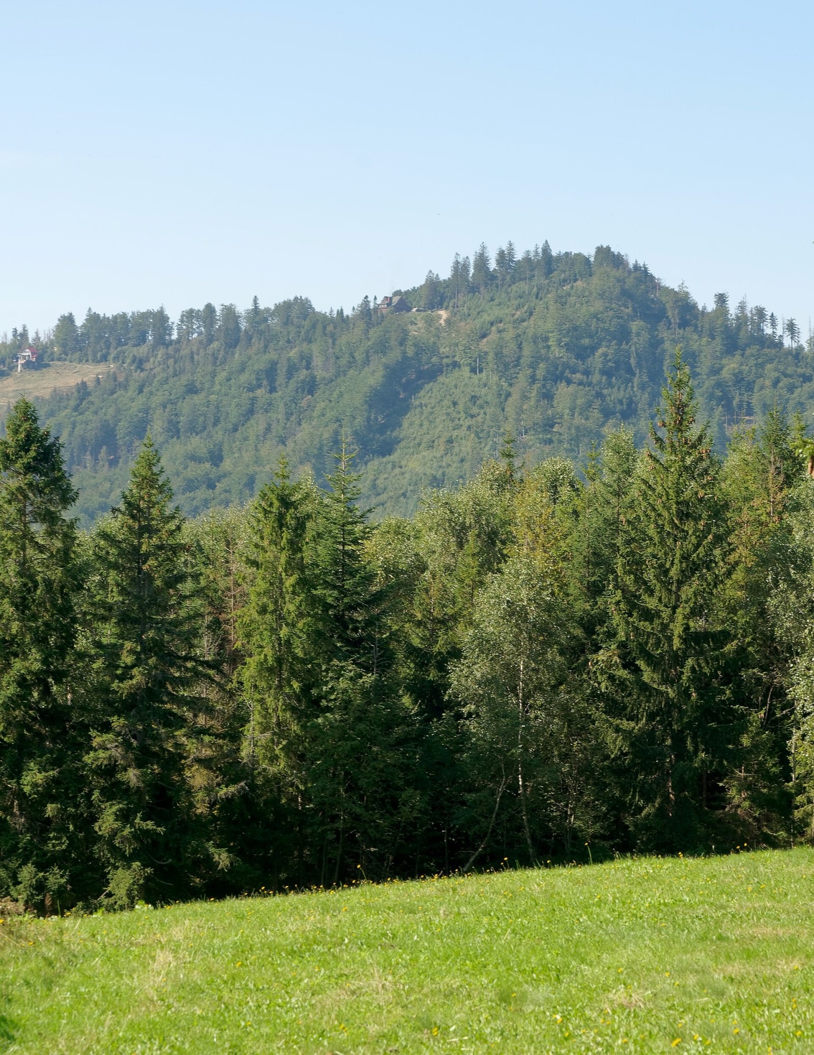
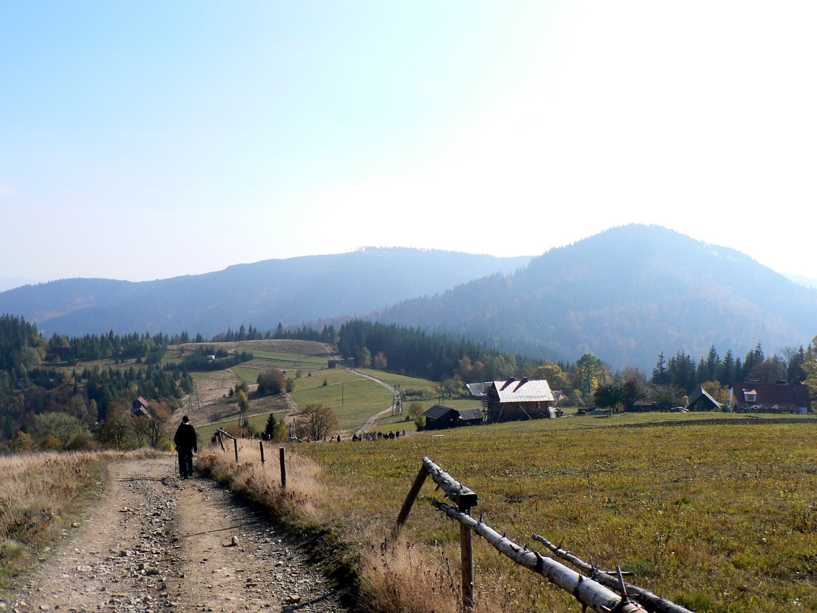
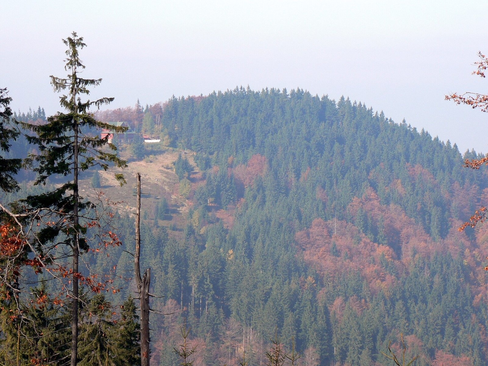
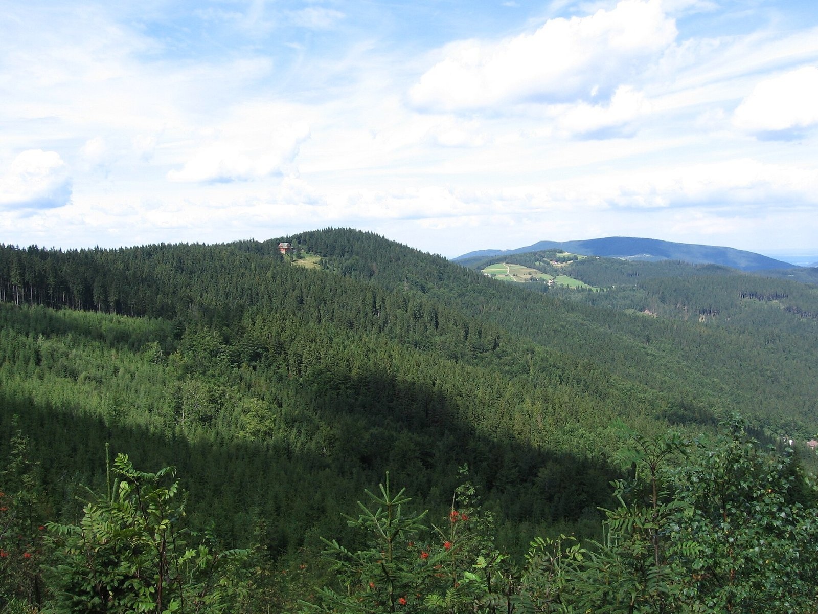
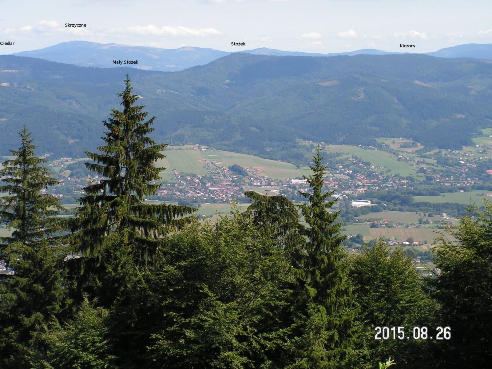
Stożek Wielki (Czech: Velký Stožek, "big cone") is a 978 m summit in the Silesian Beskids on the Polish–Czech border. It belongs to the Stożek and Czantoria Range, which forms the watershed between the Vistula and the Oder and carries the state border. Within the range Stożek Wielki stands between Stożek Mały and Kyrkawica and is the third-highest after Wielka Czantoria and Kiczory. The Polish slopes belong to the town of Wisła in Cieszyn County, Silesian Voivodeship; the Czech slopes to the municipalities of Návsí and Nýdek. The nearest hamlets of Wisła, Bystre and Mraźnica, lie 2.5–3.5 km away.
The slopes of the summit dome drop steeply to the west, north and east; only to the south does the ridge run almost level towards Kyrkawica. Seen from the north, the mountain really is a fairly regular cone. It is built of Godula sandstone. The longest side ridge of the range, the so-called arm of Łączka and Filipka, leaves the summit to the north-west, and a short spur to the north-east divides the valleys of the Łabajów and Jerzy streams.
How to get there / trails
The red Main Beskid Trail crosses the summit. On the Polish side a dense network of marked paths leads up:
- red from Wielka Czantoria via the Beskidek Pass and Soszów Wielki — 2 h 10 min (2 h 35 min back);
- red from Barania Góra via the Przysłop hut and the Kubalonka Pass — 5 h 25 min;
- green from Wisła-Głębce up the Łabajów valley — 1 h 30 min (1 h 15 min down), blue from Głębce via Mraźnica — 2 h;
- yellow from Wisła-Dziechcinka up the Dziechcinka valley — 2 h 05 min, blue from the same place via Kobyla — 2 h 25 min;
- yellow and red from Jaworzynka-Trzycatek via Kiczory — 4 h 10 min.
From the Czech side: red and yellow from Nýdek (3 h 50 min), yellow and blue from Jablunkov via the Groníček saddle (2 h 25 min), and the blue border trail from Wielka Czantoria (2 h 15 min).
The view from the top
From the summit itself the views are fragmentary — towards the Moravian-Silesian Beskids. A much wider panorama opens from the hut: over the Silesian and Żywiec Beskids and the Tatras.
Nature and history
The massif is forested: mostly beech and beech-spruce on the west side, mostly spruce on the east. Just below the summit on the west is a rock outcrop with an overhanging slab — "a large rocky promontory shaped like a boat", as Jan Galicz, a leading tourism activist in Cieszyn Silesia, described it in 1891. The cliff beneath it is not natural: stone for building the hut was quarried here. A longer rock wall with towers, pulpits and a boulder field runs at 870–890 m along the very steep western slopes, already on the Czech side; it ends in an overhanging block up to 10 m high, under which a dozen or so people can shelter. Ten blocks 2–3 m high are used for bouldering, with 21 problems graded from 4 to 7a+ on the French scale.
Almost below the summit, about 140 m away, stands the PTTK hut "Stożek", opened on 9 July 1922 on the initiative of the Polish Tourist Society "Beskid" in the presence of more than four thousand guests. It was the first hut built by Poles in the Polish Silesian Beskids — earlier ones had been built by the German Beskidenverein. Until both countries joined the Schengen Area in 2007, there was a tourist border crossing on the summit.
Safety, season and rules
The mountain is accessible all year. A ski centre with a chairlift and over 3 km of runs operates on the eastern slope, and downhill mountain-bike races are held here in summer — keep to the footpaths and stay off the runs. Take care near the rocks on the Czech side: the slopes are very steep. The mountain lies outside national parks.
Rescue on the Polish side is GOPR: 985 or +48 601 100 300; on the Czech side the Mountain Rescue Service (Horská služba): 1210; 112 works everywhere.
Photos: Jakub Hałun, CC BY-SA 4.0; Krzysztof Dudzik-Górnicki (User:ToSter), CC BY 3.0; Krzysztof Dudzik-Górnicki (User:ToSter), CC BY 3.0; Micio at Polish Wikipedia, CC BY-SA 3.0; Pborys, CC BY-SA 4.0; Wlodek k1, CC BY-SA 3.0; Original uploader was David Szymik at cs.wikipedia., Public domain — Wikimedia Commons.
Getting there from Ukraine
Border crossings
- Krakovets – Korczowa — road, 24/7
- Shehyni – Medyka — road, 24/7 Pedestrian crossing is not confirmed by the Ukrainian border service — check dpsu.gov.ua before the trip.
- Smilnytsia – Krościenko — road, 24/7
- Hrushiv – Budomierz — road, 24/7
- Mostyska – Przemyśl (rail) — rail, 24/7
By car
Lviv – Żywiec ≈412 km, ≈5 h 30 min without queues or tolls: M-10 → Krakovets – Korczowa → A4 to Kraków (≈249 km) → DK52 via Wadowice → DW781 and DW946 to Żywiec. ≈333 km, ≈4 h from the border. Alternative via the tolled A4 Kraków – Katowice and the S1 via Tychy and Bielsko-Biała: ≈457 km, ≈5 h 25 min.
Checked 23.10.2026; border crossing hours and timetables change — check before you travel.
Location on the map
Water and shelter nearby
- Stożek PTTK Hut140 m · Standing · 979 m
- PTTK Shelter on Mały Stożek1.4 km · Standing · 824 m
Comments
Trails nearby
All trails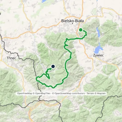 HardMulti-dayMarkedStraconka SmrekowiecElevation profile394–1 257 m79 kmascent 3 481 munder 1 km from Stożek Wielki
 HardMulti-dayMarkedMain Trail of BeskidyElevation profile309–1 723 m499.9 kmascent 19 519 munder 1 km from Stożek Wielki
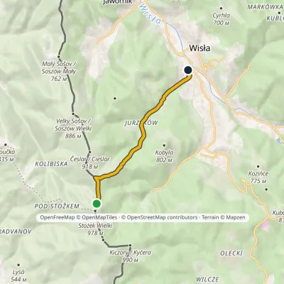 EasyOne-dayMarkedWisła Dziechcinka station Stożek MałyElevation profile449–902 m6.4 kmascent 28 m≈ 1.5 h walkingunder 1 km from Stożek Wielki
Nearby attractions
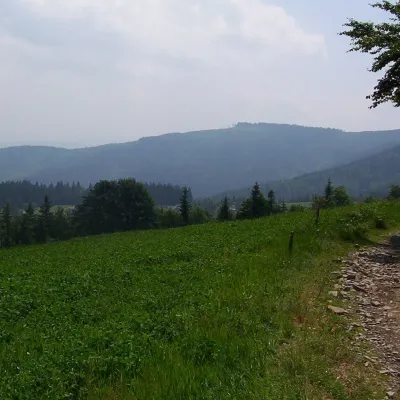 PeakKiczoryIstebnaaltitude 990 m1.6 km from Stożek WielkiKiczory (Czech Kyčera) is a wooded 990 m summit in the western Silesian Beskids, on the border between Poland and the Czech Republic.
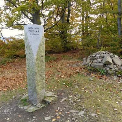 PeakCieślarWisłaaltitude 920 m2 km from Stożek WielkiCieślar (Czech Česlar) is a summit of about 920 m in the Silesian Beskids, on the main ridge of the Stożek–Czantoria range.
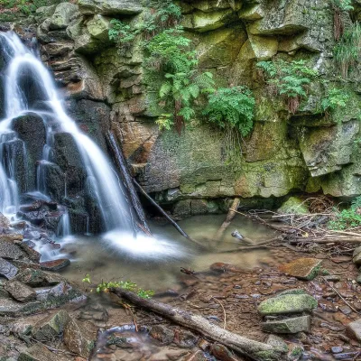 WaterfallRodło Cascades (Biała Wisełka)Wisła12 km from Stożek WielkiThe Rodło Cascades (Kaskady Rodła) are a group of about 25 natural waterfalls and rock steps on the Biała Wisełka, one of the streams that give rise to the Vistula.
Craft nearby
All craft places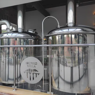 Craft beer & breweriesBrowar Wisła: craft brewpub in Wisła's old railway stationWisła6.3 km from Stożek WielkiBrowar Wisła is a brewpub in the heart of the Silesian Beskids, in the spa town of Wisła, where Poland's longest river of the same name rises.
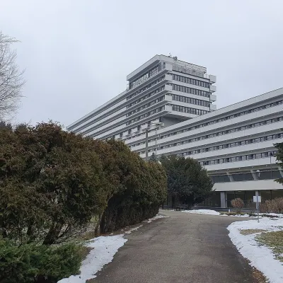 Water parks & thermal poolsUstroń spa: brine, peat and brine poolsUstroń13 km from Stożek WielkiUstroń is the only spa of the Silesian Beskids: the town lies where the Vistula valley leaves the mountains, between the ridges of Równica (884 m) and Czantoria Wielka...
 Cheese dairies & pasturesRaková farm in Kysuce: bryndza, žinčica and cheese cakesRaková19 km from Stożek WielkiKysuce is a hilly region in north-western Slovakia, near the Polish and Czech borders, with scattered hillside hamlets (“kopanice”) and an old tradition of keeping...
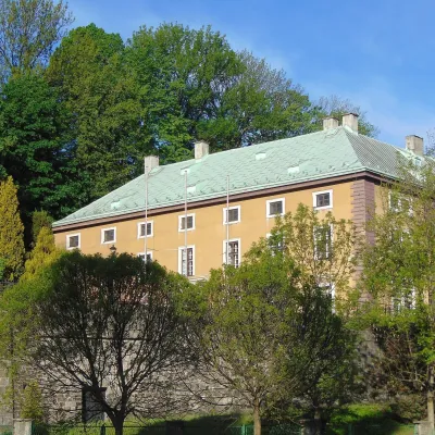 Craft beer & breweriesArchducal Castle Brewery, Cieszyn: 180 years of beer and rock cellarsCieszyn22 km from Stożek WielkiThe Archducal Castle Brewery in Cieszyn (Arcyksiążęcy Browar Zamkowy Cieszyn) is one of the oldest working breweries in Poland and one of the most valuable monuments...
 Cheese dairies & pasturesBacówka na Bukowinie, Żabnica: sheep's cheese and alpacasWęgierska Górka22 km from Stożek WielkiBacówka na Bukowinie stands on a slope above the village of Żabnica, next to Węgierska Górka, where the Żywiec Beskids meet the Silesian Beskids.
 Water parks & thermal poolsAquapark Leśna (Żywiec)Leśna24 km from Stożek WielkiAquapark Leśna (also called Aquapark Żywiec) is a swimming-pool complex in the village of Leśna, a few kilometres from Żywiec, in the Żywiec Basin, surrounded by the...
