Podolínec
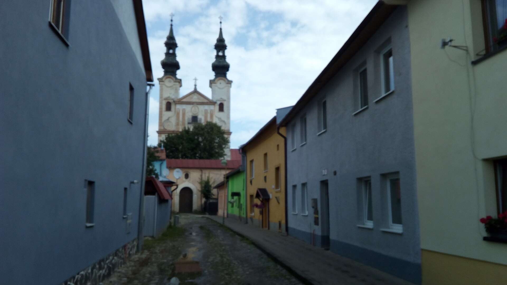
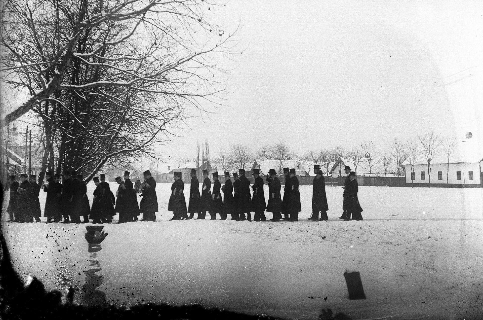
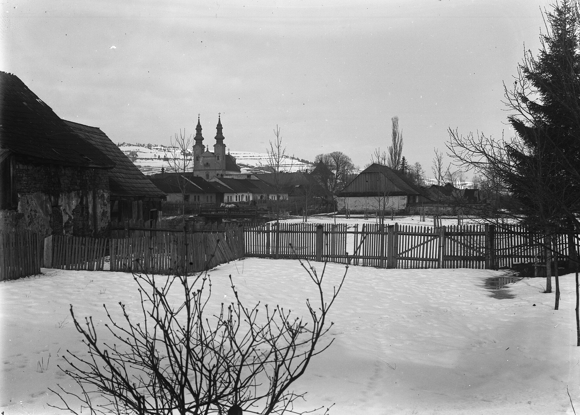
Photos: Szodorai Imre [Hun], CC BY 3.0 (Wikimedia Commons); FOTO:Fortepan — ID 426: Adományozó/Donor: Fortepan. archive copy at the Wayback Machine, CC BY-SA 3.0 (Wikimedia Commons); FOTO:Fortepan — ID 429: Adományozó/Donor: Fortepan., CC BY-SA 3.0 (Wikimedia Commons)
Podolínec is a town in Slovakia.
Elevation: about 572 m above sea level. Population: 3,024 (2025). Mountains nearby: Spiš Magura.
Here and nearby on the site: 3 trails.
Facts: Wikidata, OpenStreetMap. More on Wikipedia
Trails nearby
All trails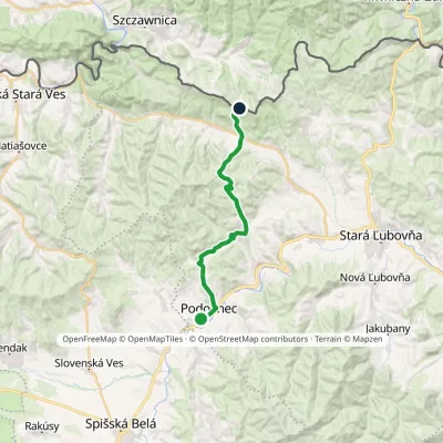 ModerateTwo-dayMarkedVyšné Ružbachy, spa JaworkiElevation profile565–1 000 m20.2 kmascent 762 m≈ 6.5 h walkingunder 1 km from the centre
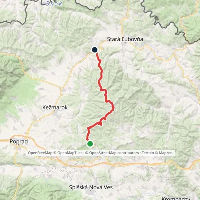 HardMulti-dayMarkedZbojnícka lúka Nižné Ružbachy, ChurchElevation profile549–1 206 m39.5 kmascent 779 m≈ 11.5 h walking4 km from the centre
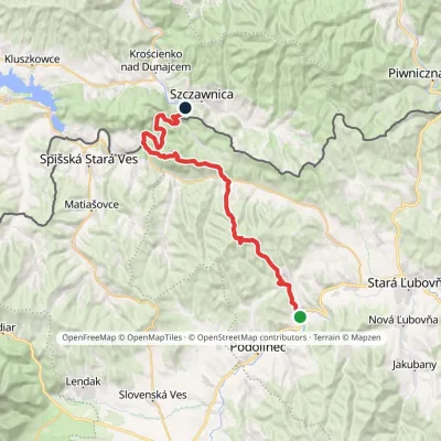 HardMulti-dayMarkedPieninská cestaElevation profile428–1 085 m33 kmascent 1 002 m≈ 10.5 h walking4.1 km from the centre
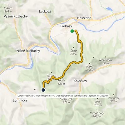 EasyOne-dayMarkedForbasy, station Meadow under Špica (yellow trail)Elevation profile542–883 m7.6 kmascent 340 m≈ 2.5 h walking4.2 km from the centre
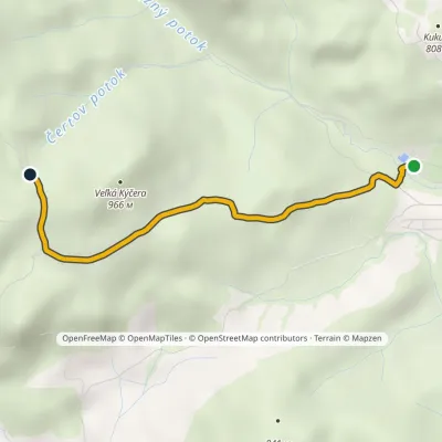 EasyOne-dayMarkedVyšné Ružbachy, spa Sovia PoľanaElevation profile637–897 m3.2 kmascent 265 m≈ 1.5 h walking4.8 km from the centre
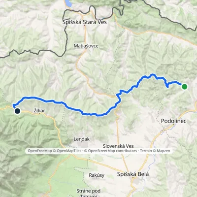 HardMulti-dayMarkedVyšné Ružbachy, spa Strednica, ski areaElevation profile637–1 198 m34.1 kmascent 1 105 m≈ 10.5 h walking5.3 km from the centre
Peaks nearby
All peaks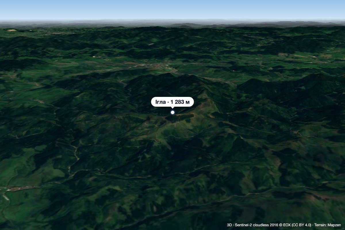 PeakIhla (Levoča Hills)Ihľanyaltitude 1 283 m9.3 km from the centreIhla (Slovak for "needle"; German Nadel) is a 1283 m summit in the Levoča Hills (Levočské vrchy) in eastern Slovakia, the third highest in the range.
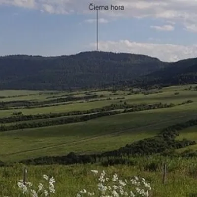 PeakČierna hora (Levoča Mountains)Jakubanyaltitude 1 289 m9.7 km from the centreČierna hora is a 1289.4 m summit, the highest point of the Slovak Levoča Mountains (Levočské vrchy) – a flysch range of the Podhôľno-magurská region in eastern...
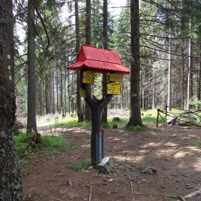 PeakSlodičovský vrchMalá Frankováaltitude 1 167 m18 km from the centreSlodičovský vrch (Polish Słodyczowski Wierch) is a 1167 m summit on the main ridge of the Spišská Magura in northern Slovakia.
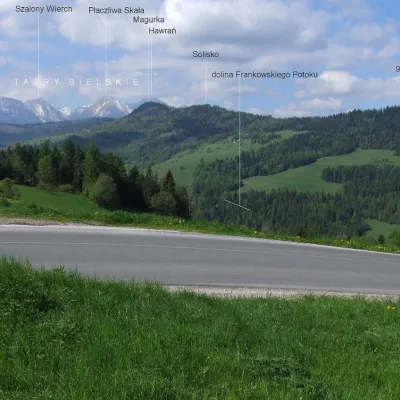 PeakMagurkaOsturňaaltitude 1 193 m20 km from the centreMagurka is a 1193 m summit in the central part of the Spišská Magura in northern Slovakia. It rises above the village of Ždiar, about 17 km north-west of the town of...
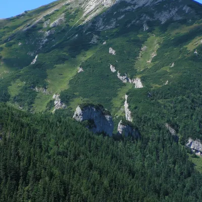 PeakBujačí vrchKežmarské Žľabyaltitude 1 947 m20 km from the centreBujačí vrch (Polish Bujaczy Wierch, German Stirnberg) is a 1,947 m summit on the main ridge of the Belianske Tatras in Slovakia and the last high mountain at the...
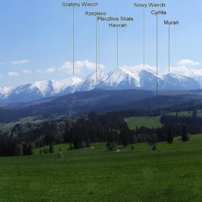 PeakPriehrštieOsturňaaltitude 1 209 m22 km from the centrePriehrštie (also Javorinka or Penčákova hora; Polish Prehrštie) is a 1209 m summit in the Spišská Magura in northern Slovakia.
What to visit
All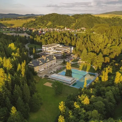 Water parks & thermal poolsVyšné Ružbachy Spa: Izabela Mountain Pools and Indoor Thermal PoolVyšné Ružbachy5.6 km from the centreVyšné Ružbachy is one of Slovakia’s oldest spas. It lies on the south-eastern slope of the Spišská Magura at about 617 m, surrounded by coniferous forest that merges...
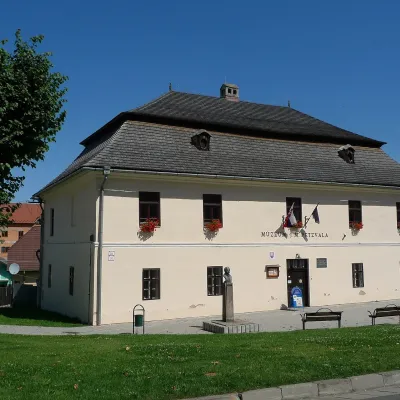 MuseumJ. M. Petzval Museum in Spišská BeláSpišská Belá9.5 km from the centreThe Joseph Maximilian Petzval Museum (Múzeum J. Petzvala) in the small town of Spišská Belá is a modest but unique museum of photography and film at the foot of the...
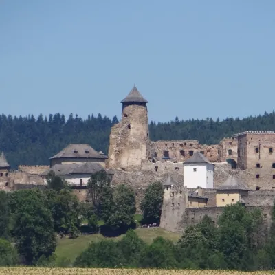 CastleĽubovňa CastleStará Ľubovňa14 km from the centreĽubovňa Castle (Ľubovniansky hrad) stands on a 548 m limestone hill above the town of Stará Ľubovňa and the left bank of the Poprad.
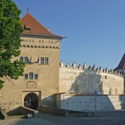 CastleKežmarok CastleKežmarok15 km from the centreKežmarok Castle (Kežmarský hrad) stands in Kežmarok on Castle Square (Hradné námestie). According to the Kežmarok Museum it is the only fully preserved castle in the...
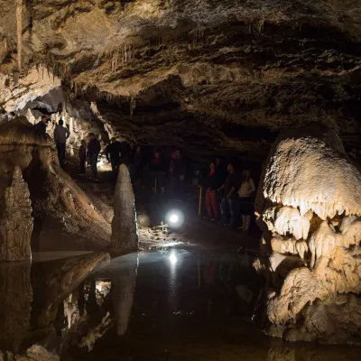 NatureBelianska CaveKežmarské Žľaby16 km from the centreBelianska Cave (Belianska jaskyňa) is the only show cave in the High Tatras and one of the most visited in Slovakia.
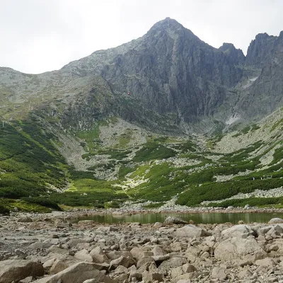 LakeSkalnaté pleso, Observatory and Lomnický štít Cable CarTatranská Lomnica23 km from the centreSkalnaté pleso is a small moraine lake in the lowest cirque of the Skalnatá valley below Lomnický štít, at about 1,751–1,754 m.
Craft nearby
All craft places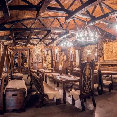 Craft producersNestville Distillery, Hniezdne — Home of the First Slovak WhiskyHniezdne9.2 km from the centreThis tradition is the basis for BGV, a company founded in 2001, which built the Nestville Distillery here.
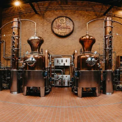 Craft producersSpišská Pálenica, Stará Ľubovňa: distillery tour and Spiš borovičkaStará Ľubovňa13 km from the centreSpiš boasts perhaps the oldest history of distilling in Europe: at the hillfort of Myšia Hôrka near Spišský Štvrtok, part of a distillation vessel from around 1500 BC...
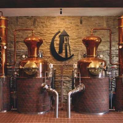 Craft producersCastle Distillery below Ľubovňa Castle: fruit spirits and tastingsStará Ľubovňa13 km from the centreStará Ľubovňa is a town in northern Spiš, overlooked by Ľubovňa Castle. For more than three and a half centuries Ľubovňa was one of the Spiš towns pledged to the...
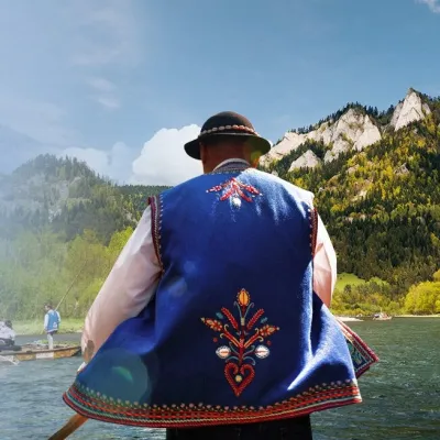 Ethno tours & guidesGoral raftsmen of Červený Kláštor: wooden-raft trip on the DunajecČervený Kláštor18 km from the centreBetween Červený Kláštor and Lesnica the Dunajec cuts a deep, winding gorge through the limestone Pieniny, and here the river becomes the border between Slovakia and...
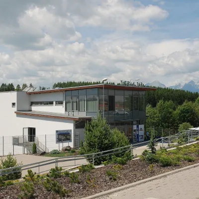 Water parks & thermal poolsThermal Park VrbovVrbov21 km from the centreThermal Park Vrbov is one of the best-known thermal baths in the Spiš region, on the southern edge of the village of Vrbov, about 6 km (as the crow flies) from...
 Water parks & thermal poolsClimatic spas of the High Tatras: Nový Smokovec, Polianka, KotlinaVysoké Tatry26 km from the centreNový Smokovec is the best known of the climatic spas of the High Tatras. It grew up in a spruce forest at about 1010 m, south-west of Starý Smokovec, with which it...
Spas and thermal pools nearby
Water parks & thermal poolsVyšné Ružbachy Spa: Izabela Mountain Pools and Indoor Thermal PoolVyšné Ružbachy5.6 km from the centreVyšné Ružbachy is one of Slovakia’s oldest spas. It lies on the south-eastern slope of the Spišská Magura at about 617 m, surrounded by coniferous forest that merges...Water parks & thermal poolsThermal Park VrbovVrbov21 km from the centreThermal Park Vrbov is one of the best-known thermal baths in the Spiš region, on the southern edge of the village of Vrbov, about 6 km (as the crow flies) from...Water parks & thermal poolsClimatic spas of the High Tatras: Nový Smokovec, Polianka, KotlinaVysoké Tatry26 km from the centreNový Smokovec is the best known of the climatic spas of the High Tatras. It grew up in a spruce forest at about 1010 m, south-west of Starý Smokovec, with which it...Huts, shelters and springs nearby
Getting there from Ukraine
Border crossings
- Uzhhorod – Vyšné Nemecké — road, 24/7
- Malyi Bereznyi – Ubľa — road, 24/7 For cars and buses; pedestrians not confirmed by the Ukrainian border service, lorries up to 3.5 t.
- Mali Selmentsi – Veľké Slemence (pedestrian) — pedestrian, 09:00–21:00 Kyiv time Pedestrians and cyclists only; inconvenient for the Tatras without onward transport.
- Chop – Čierna nad Tisou (rail) — rail, 24/7
By car
From Lviv ≈382 km, ≈5 h 15 min without queues: M-10 → Krakovets – Korczowa → A4 to Brzesko → DK75 to Nowy Sącz → DK87 via Piwniczna-Zdrój to the internal Schengen crossing Piwniczna – Mníšek nad Popradom → I/68 to Stará Ľubovňa (≈304 km, ≈3 h 50 min from the Ukrainian border). From Uzhhorod ≈183 km, ≈3 h: Vyšné Nemecké → I/19 to Košice → D1 to Prešov → I/68 via Sabinov and Lipany to Stará Ľubovňa. Via Uzhok and Ubľa ≈408 km, ≈6 h 55 min. The D1 requires an e-vignette (eznamka.sk).
Checked 23.10.2026; border crossing hours and timetables change — check before you travel.
