Pavlovce
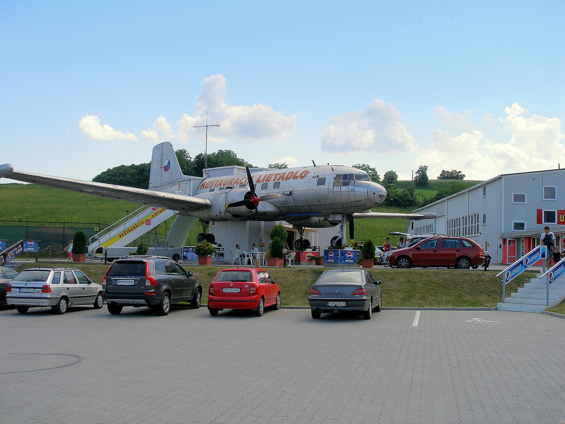
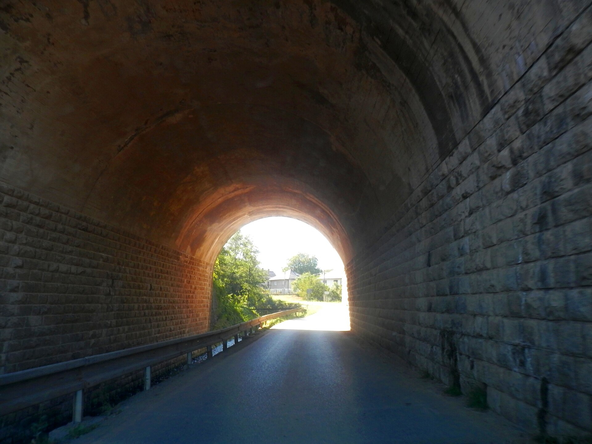
Photos: Ing.Mgr.Jozef Kotulič, CC BY-SA 3.0 (Wikimedia Commons); Ing.Mgr.Jozef Kotulič, CC BY-SA 4.0 (Wikimedia Commons)
Pavlovce is a village in Slovakia.
Elevation: about 300 m above sea level. Population: 844 (2025). Mountains nearby: Low Beskids.
Here and nearby on the site: 3 trails, 1 mountain hut or shelter.
Facts: Wikidata, OpenStreetMap. More on Wikipedia
Trails nearby
All trails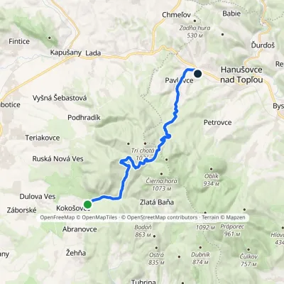 ModerateTwo-dayMarkedSigord, recreational facilities Pavlovce, stationElevation profile235–850 m19 kmascent 555 m≈ 6 h walkingunder 1 km from the centre
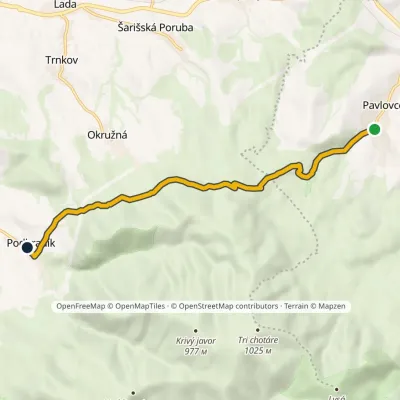 EasyOne-dayMarkedPavlovce, junction PodhradíkElevation profile304–612 m8.5 kmascent 314 m≈ 3 h walkingunder 1 km from the centre
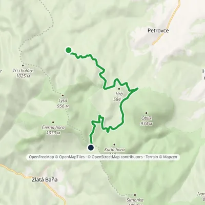 ModerateOne-dayMarkedZlatá studňa Pod HrbomElevation profile464–864 m9.7 kmascent 442 m≈ 3.5 h walking3.7 km from the centre
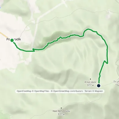 EasyOne-dayMarkedPodhradík Javornícka meadowElevation profile440–961 m7.2 kmascent 540 m≈ 3 h walking4 km from the centre
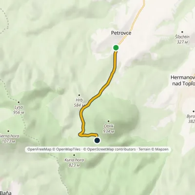 EasyOne-dayMarkedPetrovce Meadow under OblíkElevation profile335–676 m4.4 kmascent 341 m≈ 2 h walking4.2 km from the centre
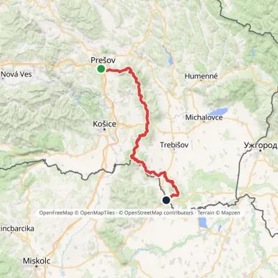 HardMulti-dayMarkedPrešov, Za kalváriou Slovenské Nové MestoElevation profile102–1 077 m135.8 kmascent 3 494 m4.6 km from the centre
Peaks nearby
All peaks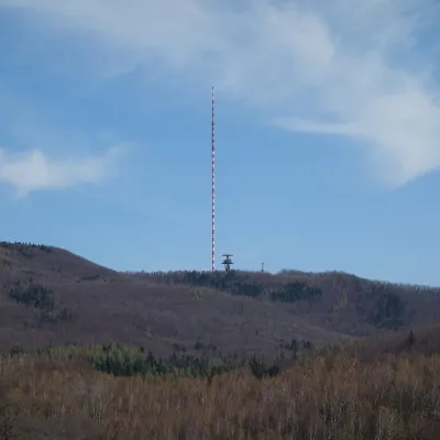 PeakDubníkZlatá Baňaaltitude 874 m12 km from the centreDubník is a forested 874 m hill in the northern half of the Slanské vrchy in eastern Slovakia, in the Šimonka subunit.
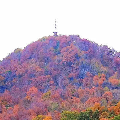 PeakStrážFinticealtitude 740 m14 km from the centreStráž (also Veľká Stráž) is a forested 740 m hill of volcanic origin in the Spiš-Šariš Intermountain (Spišsko-šarišské medzihorie) in eastern Slovakia.
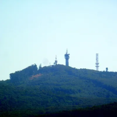 PeakMakovicaKecerovský Lipovecaltitude 981 m20 km from the centreMakovica is a 981 m summit in the central part of the Slanské vrchy in eastern Slovakia, in the subunit that bears the same name.
What to visit
All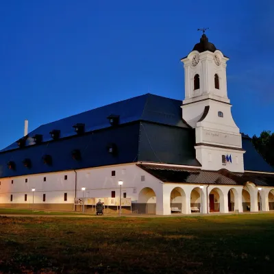 MuseumSolivar Museum, Prešov — historic salt worksPrešov13 km from the centreThe Solivar Museum (STM – Múzeum Solivar v Prešove) is a branch of the Slovak Technical Museum in Košice, housed in the historic salt works on the south-eastern edge...
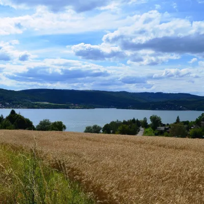 LakeVeľká Domaša reservoirKvakovce19 km from the centreVeľká Domaša (often just Domaša) is a large reservoir on the Ondava river in the Ondavská vrchovina hills, south of the Low Beskids ridge, in the Prešov Region of...
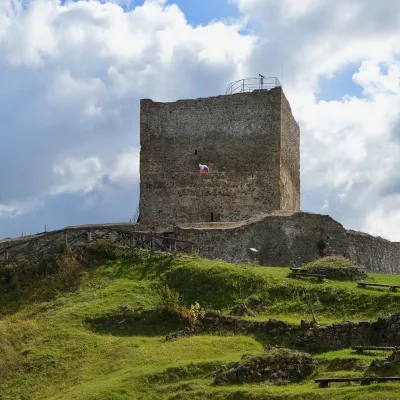 CastleŠariš Castle near PrešovVeľký Šariš20 km from the centreŠariš Castle (Šarišský hrad) is one of the largest medieval fortresses in Slovakia: its built-up area exceeds 2.7 ha.
Huts, shelters and springs nearby
Getting there from Ukraine
Border crossings
- Uzhhorod – Vyšné Nemecké — road, 24/7
- Malyi Bereznyi – Ubľa — road, 24/7 For cars and buses; pedestrians not confirmed by the Ukrainian border service, lorries up to 3.5 t.
- Mali Selmentsi – Veľké Slemence (pedestrian) — pedestrian, 09:00–21:00 Kyiv time Pedestrians and cyclists only; inconvenient for the Tatras without onward transport.
- Chop – Čierna nad Tisou (rail) — rail, 24/7
By car
From Uzhhorod ≈138 km, ≈2 h 30 min without queues: Uzhhorod – Vyšné Nemecké → I/19 to Michalovce → I/18 via Vranov nad Topľou towards Prešov → I/545 to Bardejov (≈133 km, ≈2 h 20 min from the border). From Lviv it is faster through Poland: M-10 → Krakovets – Korczowa → A4 to Dębica → DK73 to Jasło → DK28 to Gorlice → DW977 over the internal Schengen crossing Konieczna – Becherov → I/545 to Bardejov: ≈329 km, ≈5 h 10 min (≈251 km, ≈3 h 40 min from the border). Via the Uzhok Pass and Ubľa ≈345 km, ≈6 h 20 min.
Checked 23.10.2026; border crossing hours and timetables change — check before you travel.
