Pietrele Mărunte
Pietrele Mărunte (Rom. Vârful Pietrele Mărunte, “Small Stones”) is a 1,731 m peak in the Gilău – Muntele Mare Mountains (Western Romanian Carpathians), on the border of Alba and Cluj Counties. It stands on the ridge 4.1 km northeast of the highest peak in these mountains, Muntele Mare, between the ski resorts of Muntele Băișorii and Buscat. The nearest settlements are Săgagea (about 3.9 km as the crow flies), Muntele Cacovei (about 4.8 km), the Muntele Băișorii resort, and Corțești (about 7.5 km).
Below the summit, about 1.2 km away, the site marks Spring below Pietrele Mărunte, and the red stripe trail “Muntele Băișorii resort – Bălomireasa clearing – Ursoaia saddle” crosses the ridge.
Getting there / routes
The most convenient loop is the “Muntele Băișorii Resort Loop” marked with a yellow dot. According to muntii-nostri.ro, it starts at the local tourist information center: follow the road to the Pârtia Mare slope under the drag lift cables, cross the ski slope perpendicularly to the first post with route information, then take the wide dirt road to the barrier (30–40 minutes from the start). The route alternates with the blue stripe, passes the houses of Crinț hamlet, through the forest and several streams (where you can get water), leads to Gabriana hamlet, then continuously climbs through young fir forest and meadows.
Together with the green dot trail, which bypasses Buscat peak, the path reaches the Fântâna Gabrianei spring, skirts Buscat (you can ascend the summit by an unmarked path), crosses the chairlift, and with Pietrele Mărunte ahead, descends to the Șesul Cald area. From there, together with the red stripe, it climbs the road towards Muntele Mare peak, and at the sign on the electric pole, turns left onto a grassy road through dwarf pine thickets to Pietrele Mărunte. The whole loop is 17.9 km, about 7.5 hours and 822 m ascent, of medium difficulty.
Another option (no time estimates) is described from the Buscat ski resort: take the military road to Șesul Cald via the red stripe and yellow dot, then southwest to Colțul Rotund and southeast via the yellow dot to the summit; descend along the ridge south and southwest through forest, a clearing to the military road, down the Podurilor valley, and by an unmarked shepherd's path back to Colțul Rotund. In winter, a ski touring route is marked here.
The view from the top
According to the loop description, near the summit it's worth leaving the marked trail and heading south to the last rocks—there is a panoramic viewpoint.
Safety, season and rules
In winter, the ridge is used by skiers and ski tourers; in fog, it's easy to lose direction on the wide meadows, so stick to the markings. Bears are common in the Romanian Carpathians: stay on marked trails, make noise, avoid dusk, and don't keep food in your tent; near sheepfolds, shepherd dogs may attack—don't run, stop and shield yourself with your backpack (advice from Salvamont România).
In case of emergency, call the national mountain rescue dispatcher 0SALVAMONT — 0725 826 668 or 112.
Getting there from Ukraine
Border crossings
- Porubne – Siret — road and pedestrian, 24/7
- Diakivtsi – Racovăț — road and pedestrian, 24/7 No freight traffic.
- Krasnoilsk – Vicovu de Sus — road and pedestrian, 08:00–20:00 Cars up to 3.5 t and pedestrians only; not 24/7.
- Solotvyno – Sighetu Marmației — road and pedestrian, 24/7 Passenger traffic only: vehicles up to 3.5 t with up to 9 seats, pedestrians.
- Diakove – Halmeu — road, 24/7 No pedestrian crossing.
By car
Rakhiv – Cluj-Napoca ≈219 km, ≈3 h 44 min (via Solotvyno – Sighetu Marmației); Ivano-Frankivsk – Cluj-Napoca ≈353 km, ≈6 h 04 min (via Solotvyno – Sighetu Marmației); Chernivtsi – Cluj-Napoca ≈343 km, ≈6 h 28 min (via Krasnoilsk – Vicovu de Sus). Times without border queues, our road routing (GraphHopper, OSM).
Checked 03.11.2026; border crossing hours and timetables change — check before you travel.
Comments
Travellers’ experience: reports, tips, questions.
No one has reported on this trail yet. Been here lately? Tell others what it is like now.
Water and shelter nearby
- Spring below Pietrele Mărunte1.2 km · Not verified · 1 594 m
- Spring below Vânătul (north-east slope), 1 410 m2.6 km · Not verified · 1 410 m
- Spring below Vânătul (north-east slope), 1 291 m3 km · Not verified · 1 291 m
Trails nearby
All trails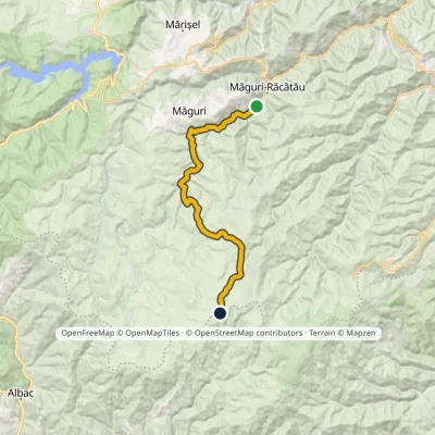 HardOne-dayMarkedMăguri-Răcătău Mount SmideleElevation profile720–1 643 m25.3 kmascent 1 002 m≈ 8 h walking8.6 km from Pietrele Mărunte
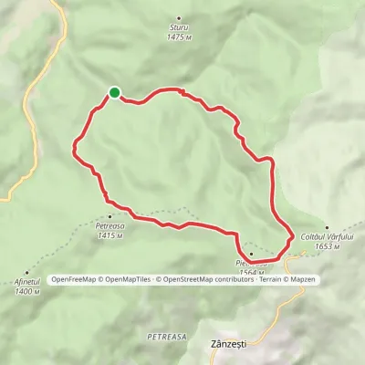 ModerateOne-dayMarkedPetreasa CircuitElevation profile1 084–1 549 m12 kmascent 465 m≈ 4 h walking24 km from Pietrele Mărunte
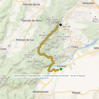 EasyOne-dayMarkedCornești Cheile Turzii HutElevation profile342–726 m9 kmascent 389 m≈ 3 h walking29 km from Pietrele Mărunte
Nearby attractions
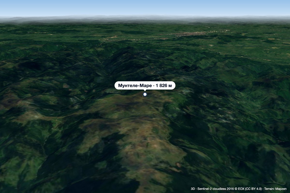 PeakMuntele MareSăgageaaltitude 1 826 m4.1 km from Pietrele MărunteMuntele Mare (Romanian Vârful Muntele Mare, Hungarian Öreghavas) is a 1,826 m summit in the eastern part of the Apuseni Mountains (Western Romanian Carpathians).
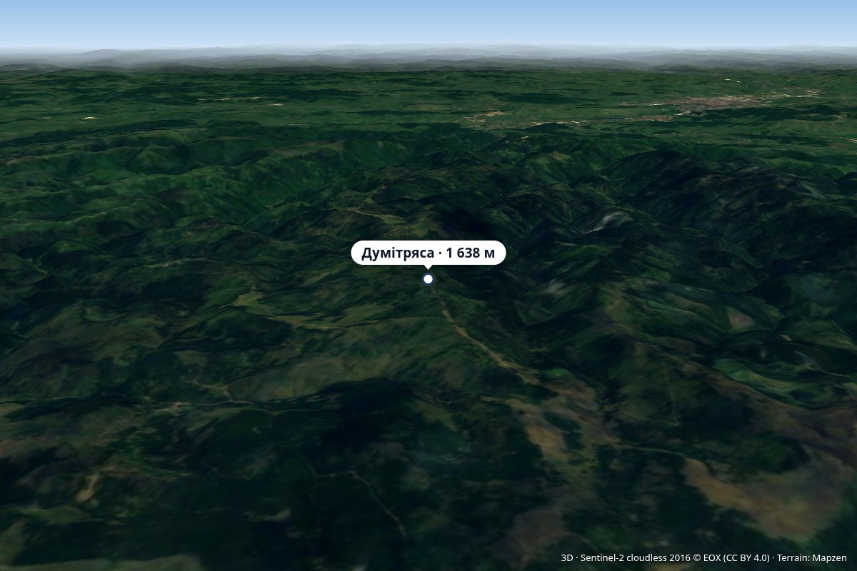 PeakDumitreasaaltitude 1 638 m9.3 km from Pietrele MărunteVârful Dumitreasa) is a 1,638 m peak on the ridge of the Gilău – Muntele Mare Mountains (Western Romanian Carpathians) in Cluj County.
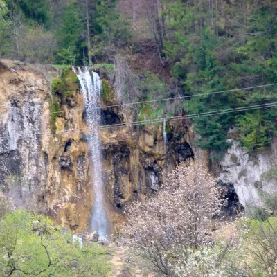 WaterfallPișoaia Waterfall (Cascada Pișoaia)Nemeși · Bihor-Vlădeasa Mountains35 km from Pietrele Mărunteheight 18 m704 m above sea levelPișoaia Waterfall (Cascada Pișoaia; the name Cascada Miresii is also used) is a landscape reserve in the north-west of Alba County, in the Apuseni Mountains, not far...
Craft nearby
All craft places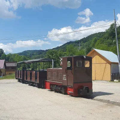 Heritage transportApuseni Narrow-Gauge Train: Câmpeni–Abrud ride in Moți LandVârși23 km from Pietrele MărunteThe narrow-gauge railway along the Arieș valley was officially opened on 20 June 1912. It linked the town of Turda with mountain Abrud in Țara Moților, the Moți Land —...
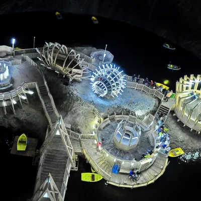 Water parks & thermal poolsSalina Turda: a lake 112 m underground and speleotherapyTurda40 km from Pietrele MărunteThe Turda Salt Mine (Salina Turda) is one of Romania's best-known underground sights, on the edge of the town of Turda in Cluj County, a few dozen kilometres from Cluj...
