Poiana Glăvoi
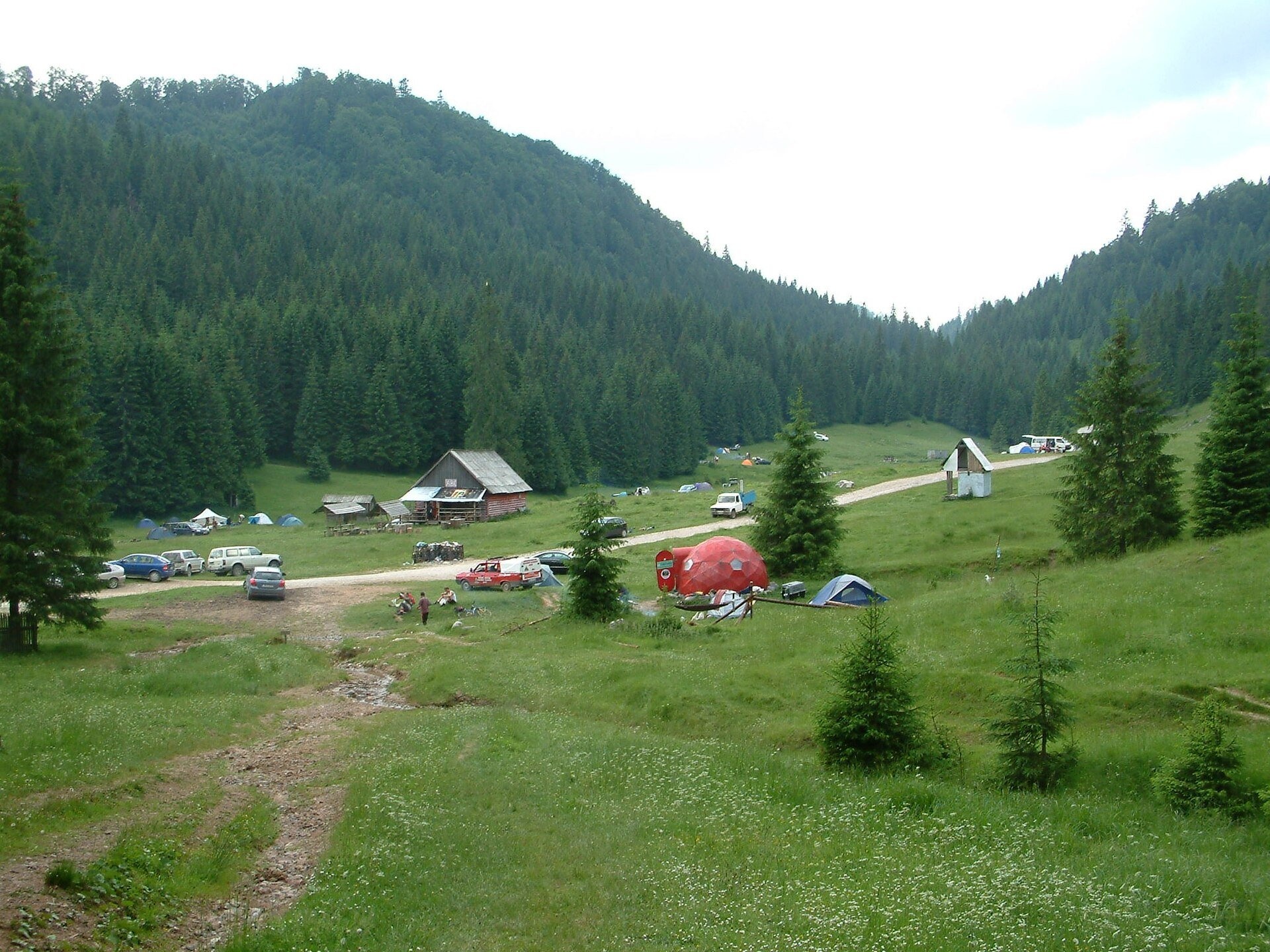
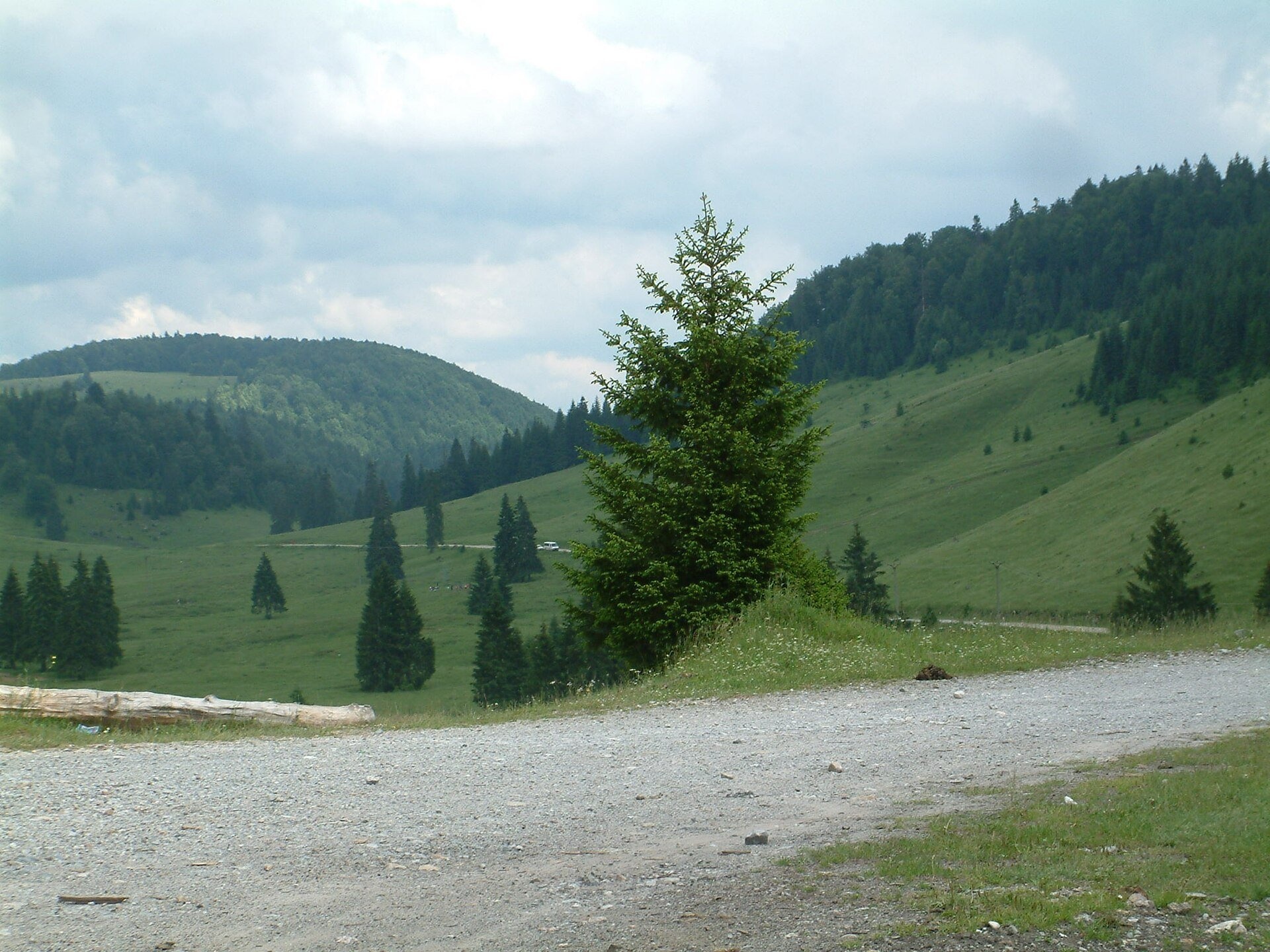
Poiana Glăvoi (Hungarian: Glavoj-rét) is a broad grassy meadow on the Padiș plateau in the Bihor Mountains (Apuseni), at about 1,090 m. Hiking maps and route descriptions also call it "La Grajduri" ("at the stables"). Spruce forests surround it, a forest road crosses it, and to the south runs the Glăvoi – Borțig ridge that closes the Padiș basin.
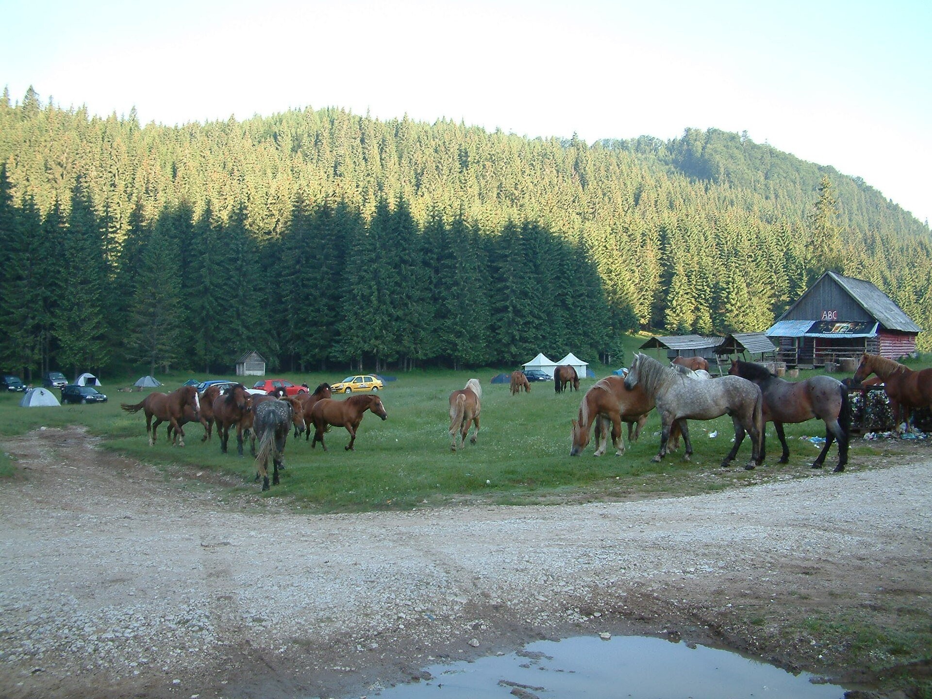
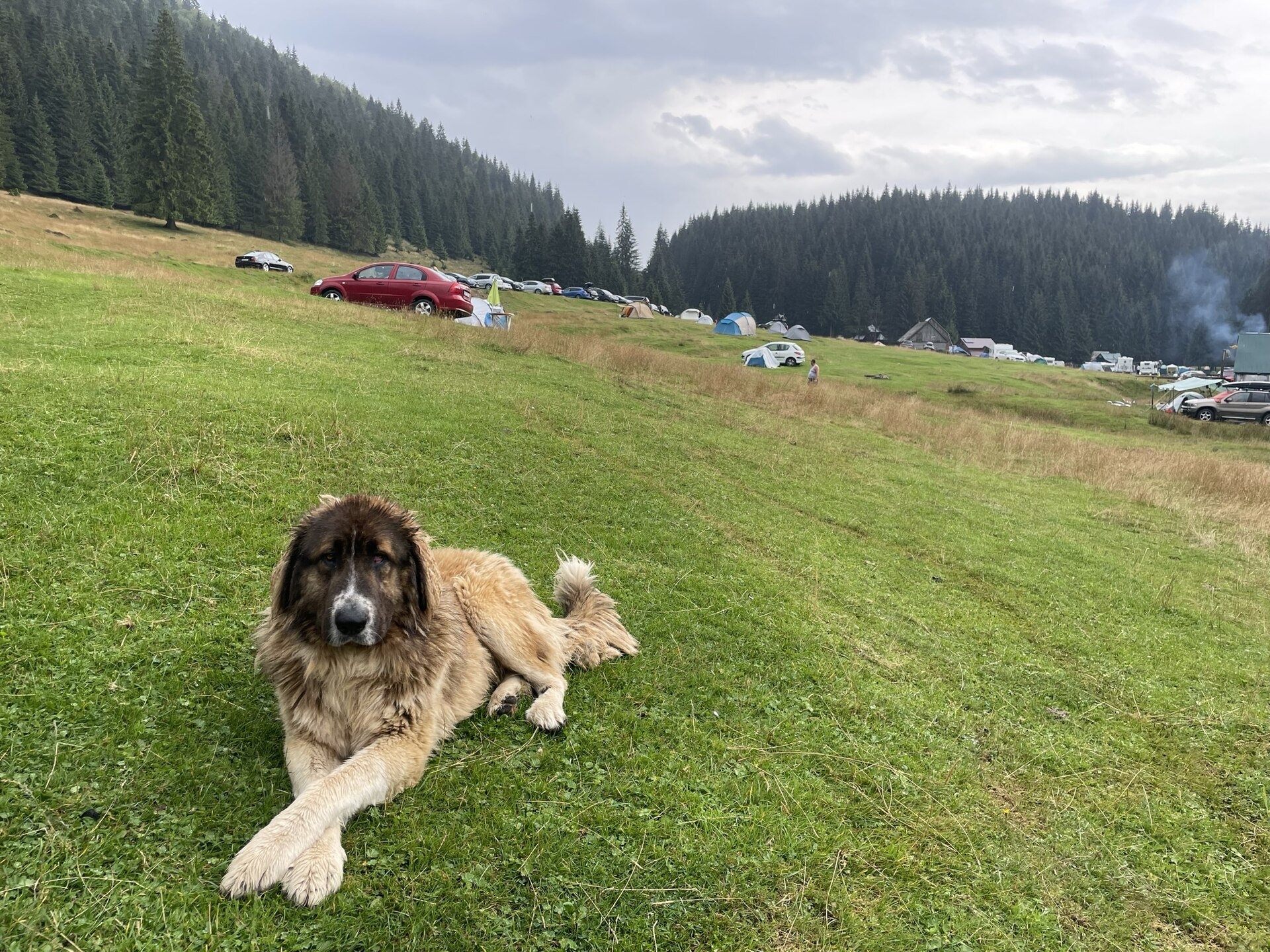
It is first of all a pasture. In 2019 the director of Apuseni Natural Park, Alin Moș, explained that the land is a pasture owned by the commune of Pietroasa. Horses graze here in summer and you may meet big Carpathian Shepherd Dogs on the meadow. At the same time Glăvoi was for many years a popular place to camp at Padiș, because the chief karst sights of the plateau are closest from here.
What to see and do
- Poiana Ponor — one kilometre to the south-east: a karst polje whose stream sinks underground.
- Cetățile Ponorului — a forest road leads from the meadow to the hut of the same name, and from there the loop marked with a blue dot descends to the 74 m high portal. The sections with cables and metal ladders are difficult.
- Four viewing balconies above the dolines, built in the 19th century by Gyula Czárán — on the same loop, on the way back to Glăvoi.
How to get there
From the Padiș tourist complex a shared stretch of the routes marked with blue and yellow dots leads to the meadow; the forest road "La Grajduri – Cetățile Ponorului hut" passes here too. The plateau itself is reached from the village of Pietroasa via Boga or by the forest road from Răchițele – Ic Ponor (details on the Padiș plateau page).
Camping, rules and safety
From 1 May 2019 camping on Poiana Glăvoi was banned: according to the news site Alba24 it was a decision of the National Environmental Guard because of litter and illegal structures, and there was no authorised campsite on the pasture. Whether the rules have changed since then could not be established from open official sources as of November 2026, so before travelling with a tent ask the Apuseni park administration (parcapuseni.ro) where camping is allowed. The best time is June to September; the cable-equipped loops are not recommended in winter.
Bears live in the Romanian Carpathians: stay on the marked paths, never leave food by a tent or a car, and near flocks do not run from the sheepdogs — stop and walk calmly around the herd. Salvamont mountain rescue: national dispatch 0SALVAMONT — 0725 826 668 or 112; advice for hikers is on salvamontromania.ro.
Nearby
Poiana Ponor, the Padiș plateau and Poiana Vărășoaia in the north of the plateau.
Photos: Szodorai Imre [Hun], CC BY 3.0, Wikimedia Commons; Olgierd Rudak, CC BY-SA 4.0, Wikimedia Commons.
Getting there from Ukraine
Border crossings
- Porubne – Siret — road and pedestrian, 24/7
- Diakivtsi – Racovăț — road and pedestrian, 24/7 No freight traffic.
- Krasnoilsk – Vicovu de Sus — road and pedestrian, 08:00–20:00 Cars up to 3.5 t and pedestrians only; not 24/7.
- Solotvyno – Sighetu Marmației — road and pedestrian, 24/7 Passenger traffic only: vehicles up to 3.5 t with up to 9 seats, pedestrians.
- Diakove – Halmeu — road, 24/7 No pedestrian crossing.
By car
Rakhiv – Cluj-Napoca ≈219 km, ≈3 h 44 min (via Solotvyno – Sighetu Marmației); Ivano-Frankivsk – Cluj-Napoca ≈353 km, ≈6 h 04 min (via Solotvyno – Sighetu Marmației); Chernivtsi – Cluj-Napoca ≈343 km, ≈6 h 28 min (via Krasnoilsk – Vicovu de Sus). Times without border queues, our road routing (GraphHopper, OSM).
Checked 03.11.2026; border crossing hours and timetables change — check before you travel.
Location on the map
Water and shelter nearby
- Drinking water below Varniţa170 m · Not verified · 1 088 m
- Glăvoi Salvamont Hut170 m · Not verified · 1 088 m
- Spring below Dealu Călciş (east slope), 1 091 m (2)330 m · Not verified · 1 091 m
- Spring below Dealu Călciş (east slope), 1 091 m380 m · Not verified · 1 091 m
- Spring below Dealu Călciş (east slope), 1 095 m410 m · Not verified · 1 095 m
- Spring below Dealu Călciş (east slope), 1 114 m460 m · Not verified · 1 114 m
- Poiana Ponor Spring1.1 km · Not verified · 1 091 m
- Cetățile Ponorului Hut1.8 km · Standing · 1 073 m
- Izbucul Ursului Spring2.2 km · Not verified · 1 115 m
- Tap Water «Izvorul Rece», 1 089 m2.2 km · Not verified · 1 089 m
- Spring below Dealu Cuibuleț2.5 km · Not verified · 1 138 m
Wildlife nearby
All
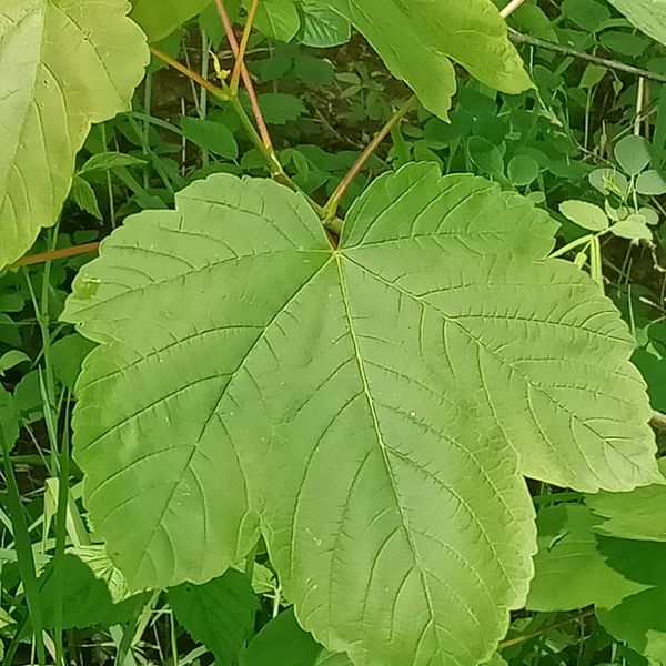
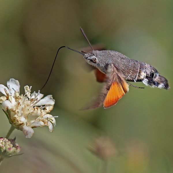
Based on naturalists’ records nearby (GBIF, iNaturalist), matched by altitude, habitat and season. Sightings are not guaranteed.
Comments
Trails nearby
All trails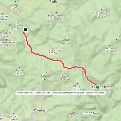 EasyOne-dayMarkedCasa de Piatră Glăvoi MeadowElevation profile1 026–1 302 m9.2 kmascent 304 m≈ 3 h walkingunder 1 km from Poiana Glăvoi
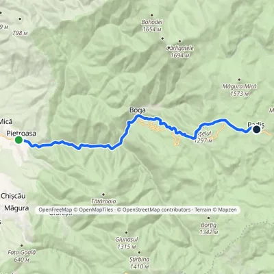 ModerateTwo-dayMarkedPietroasa PadișElevation profile322–1 298 m17.8 kmascent 1 068 m≈ 6.5 h walking1.9 km from Poiana Glăvoi
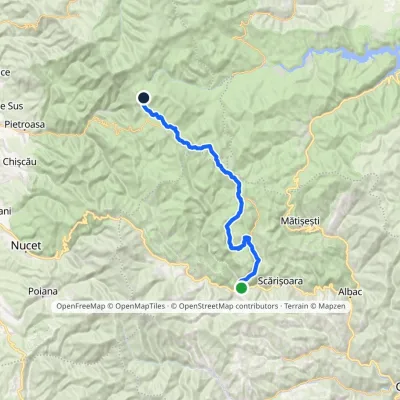 HardMulti-dayMarkedGârda de Sus Vărășoaia SaddleElevation profile727–1 436 m31.8 kmascent 1 186 m≈ 10.5 h walking3 km from Poiana Glăvoi
Nearby attractions
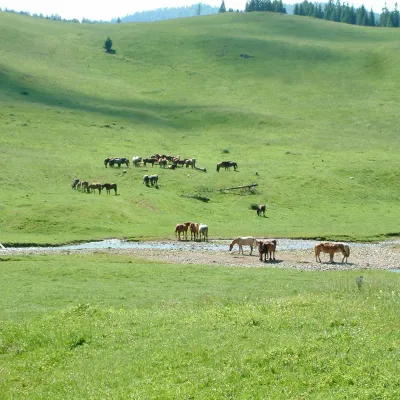 Mountain meadowPoiana PonorBogaaltitude 1 085 m1.1 km from Poiana GlăvoiPoiana Ponor (Hungarian: Ponor-rét) is a closed karst depression on the Padiș plateau in the Bihor Mountains (Apuseni), at about 1,085 m.
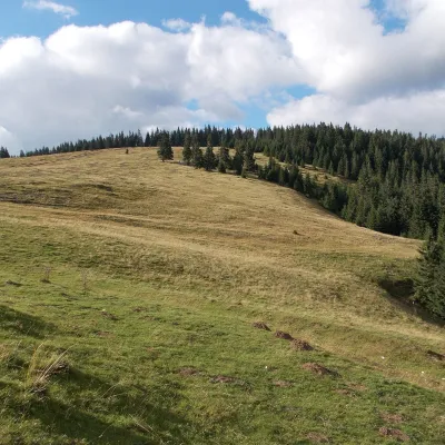 Mountain meadowPadiș PlateauPadișaltitude 1 235 m2.5 km from Poiana GlăvoiPadiș (Hungarian: Pádis) is a karst plateau in the Bihor Mountains, part of Romania's Apuseni (Western Romanian Carpathians), in the south-east of Bihor County.
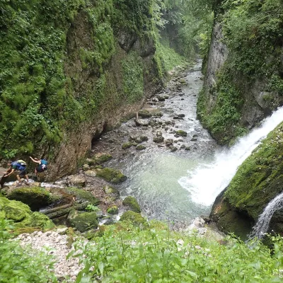 WaterfallEvantai Waterfall (Cascada Evantai)Boga3.4 km from Poiana GlăvoiEvantai Waterfall (Cascada Evantai, «the Fan») lies in the Galbena Gorge (Cheile Galbenei) in the Bihor Mountains, inside Apuseni Natural Park in Bihor County.
