Râu de Mori – Retezat Peak
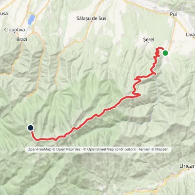
Trail map
Route, springs and shelters: © OpenStreetMap contributors (ODbL) · elevation: Copernicus DEM © DLR e.V., © Airbus DS · Data & licences
About the trail
Route Râu de Mori – Retezat Peak. Has red marking (local route). Waymarking data: OpenStreetMap (© OpenStreetMap contributors, ODbL).
Marked local hiking trail. Marking is red, sign — triangle on a white background. Length of the trail — 19.4 km. Location: mountain range — Retezat, Romania. The trail passes through Retezat National Park. Visiting the park is paid: according to the administration, a ticket costs 10 lei and is valid for 7 days (it can be purchased at bilete.retezat.ro). Hiking is allowed only on marked paths, open fires are prohibited, and dogs must be kept on a leash.
At a glance
A one-day route of 19.4 km with 1,984 m of ascent from Râu de Mori to Retezat Peak. Estimated walking time: about 8 h, not counting stops. Difficulty: hard. Waymarking: red.
Route stages
- 0–19 kmClimb of 1,970 m to Retezat Peak (2,482 m)
Steepest kilometre: km 15–16, a climb of 280 m (≈28%), near Muncelu Saddle.
Water and overnight stays
Springs near the trail: at km 11, 13, 15 and 17. There are no springs between km 0 and 11 — carry at least 2 l of water.
When to go
Best time: June to September. In winter only for experienced hikers with proper gear: avalanche danger is possible. About 5 km of the route runs above 1,500 m, where the weather changes quickly — check the forecast.
Getting there
Start: Râu de Mori. This is a one-way route: the finish is 13 km from the start in a straight line, so plan your way back in advance.
FAQ
- How long does the route take?
- Estimated walking time: about 8 h, not counting stops.
- Is there water on the route?
- Springs near the trail: at km 11, 13, 15 and 17. There are no springs between km 0 and 11 — carry at least 2 l of water.
Water and shelter on the route
- Spring below Ciurilă (north-west slope)km 11.2 from the start · 90 m off the path · Not verified · 1 169 m
- Spring (Râușor)km 13.1 from the start · Not verified · 1 335 m
- Spring below Prelucele (north-west slope)km 14.7 from the start · Not verified · 1 522 m
- Spring below Prelucele (west slope)km 17.3 from the start · Not verified · 2 075 m
Wildlife along the route
All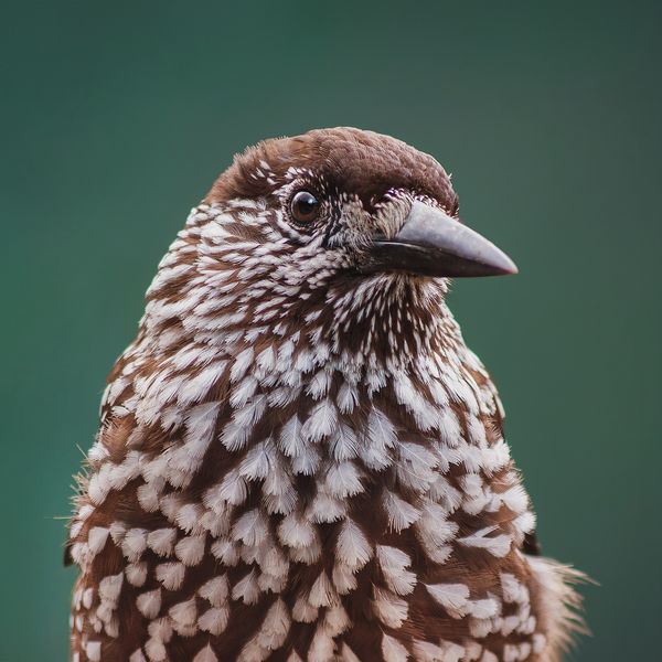
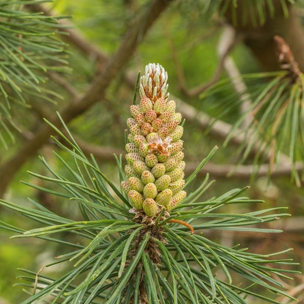
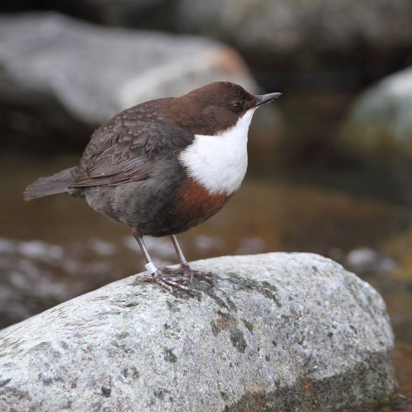
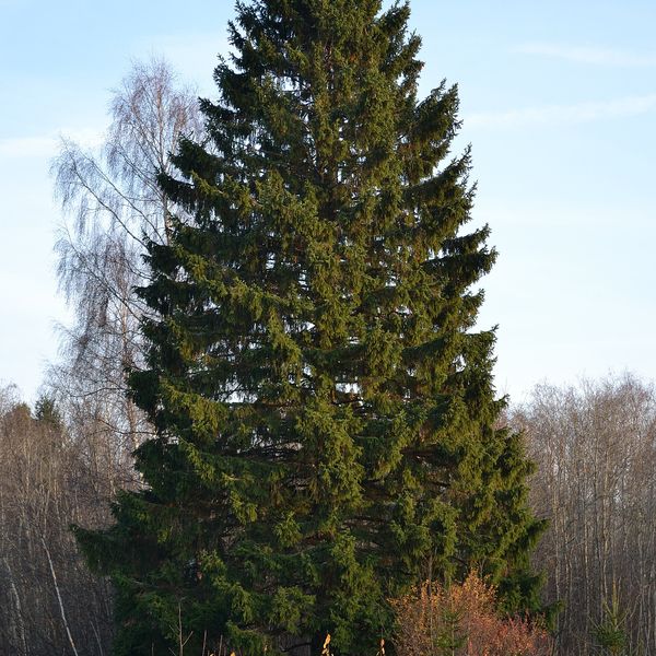
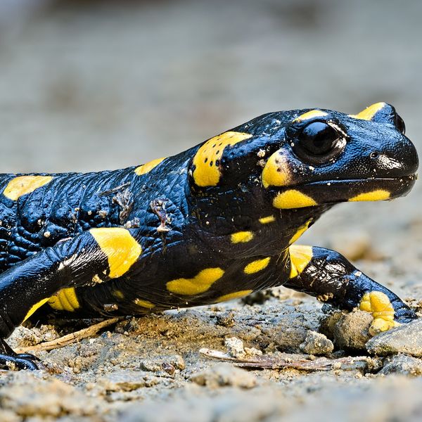
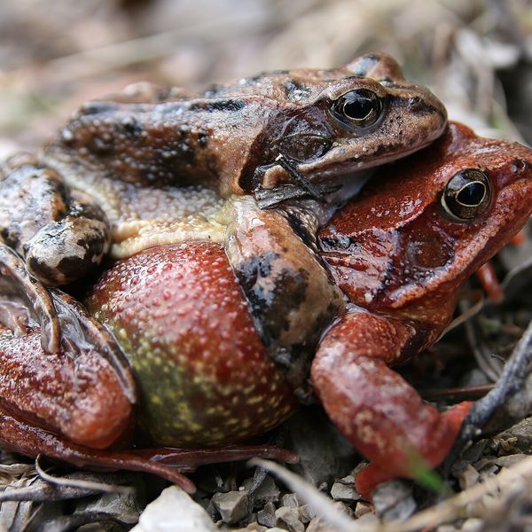
Based on naturalists’ records nearby (GBIF, iNaturalist), matched by altitude, habitat and season. Sightings are not guaranteed.
Comments
Trails nearby
All trails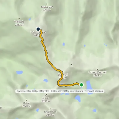 HardOne-dayMarkedLake Bucura Retezat Peakvia Bucura PeakElevation profile2 073–2 482 m3.8 kmascent 586 m≈ 2 h walking
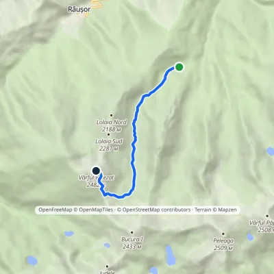 HardOne-dayMarkedPietrele Hut Retezat PeakElevation profile1 489–2 482 m5.9 kmascent 993 m≈ 3.5 h walking
 HardMulti-dayMarkedHobița Retezat Peakvia PeleagaElevation profile533–2 509 m35.3 kmascent 2 905 m
