Râu de Mori
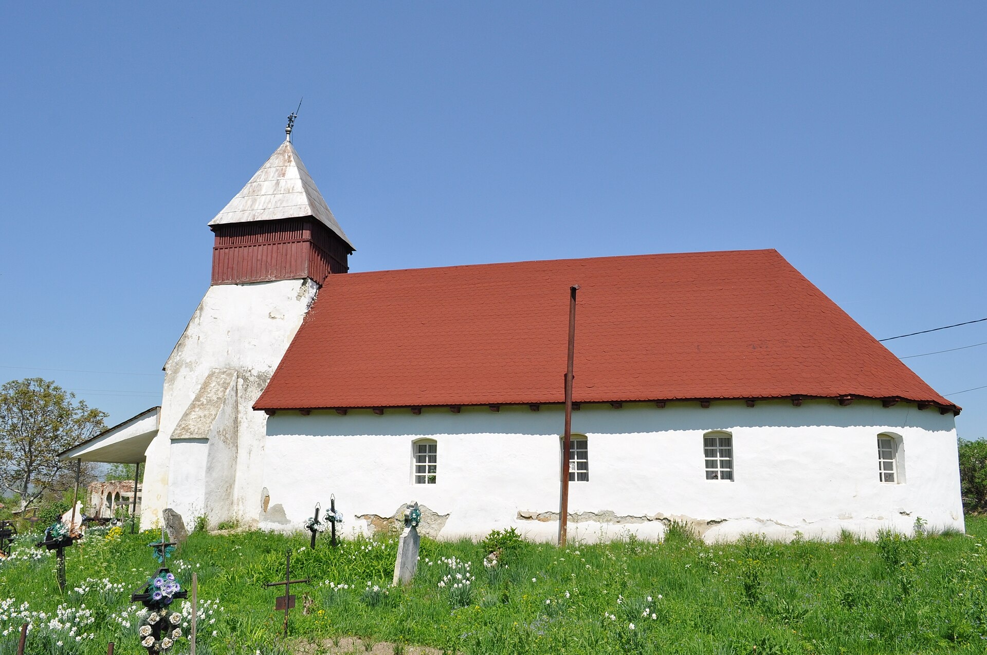
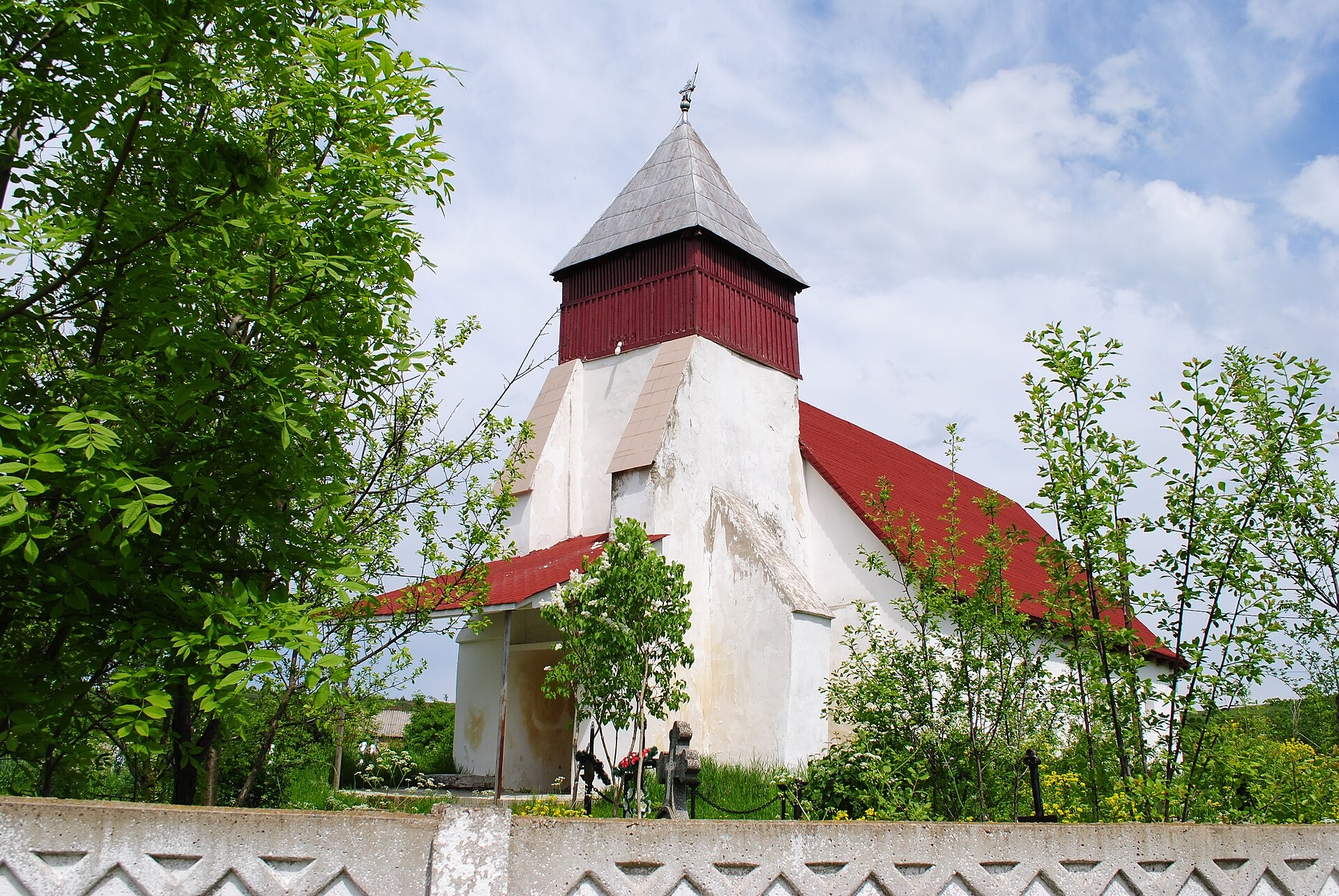
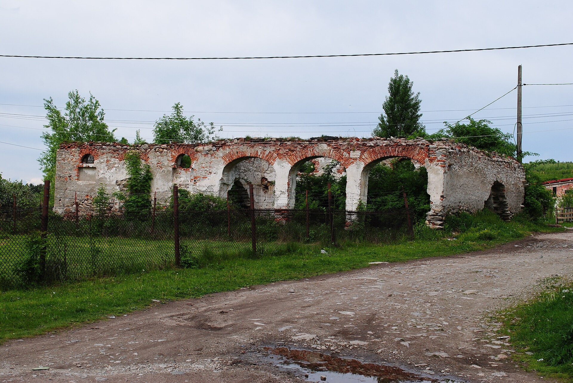
Photos: Țetcu Mircea Rareș, CC BY-SA 3.0 ro (Wikimedia Commons); Râu de Mori: the Reformed church — Andrei kokelburg, CC BY-SA 3.0 ro (Wikimedia Commons); Râu de Mori: ruins of the Cândea noble court — Andrei kokelburg, CC BY-SA 3.0 ro (Wikimedia Commons)
Râu de Mori is a village in Romania.
Elevation: about 495 m above sea level. Population: 431 (2021). Mountains nearby: Retezat Mountains.
Here and nearby on the site: 1 trail.
Facts: Wikidata, OpenStreetMap. More on Wikipedia
What's nearby
Trails nearby
All trails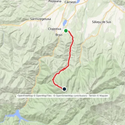 HardTwo-dayMarkedRâu de Mori Retezat PeakElevation profile501–2 482 m19.4 kmascent 1 984 m≈ 9 h walkingunder 1 km from the centre
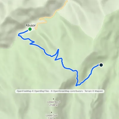 ModerateOne-dayMarkedRâușor Pietrele HutElevation profile1 178–1 825 m6.4 kmascent 647 m≈ 3 h walking8.9 km from the centre
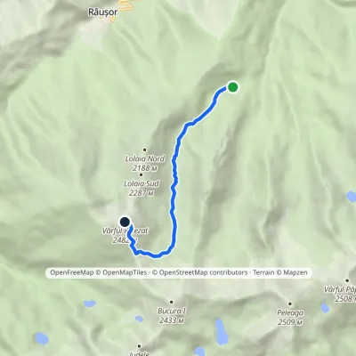 HardOne-dayMarkedPietrele Hut Retezat PeakElevation profile1 489–2 482 m5.9 kmascent 993 m≈ 3.5 h walking10 km from the centre
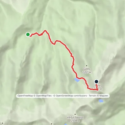 HardOne-dayMarkedPietrele Hut Vârful Marevia Lake GaleșElevation profile1 414–2 429 m6.9 kmascent 1 024 m≈ 4 h walking10 km from the centre
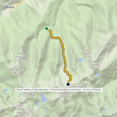 HardOne-dayMarkedPietrele Hut Pelegii SaddleElevation profile1 489–2 277 m5.5 kmascent 819 m≈ 3 h walking10 km from the centre
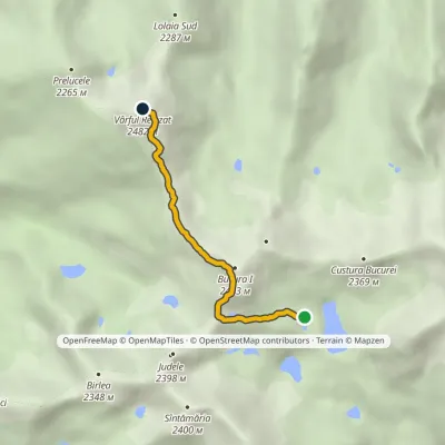 HardOne-dayMarkedLake Bucura Retezat Peakvia Bucura PeakElevation profile2 073–2 482 m3.8 kmascent 586 m≈ 2 h walking13 km from the centre
Peaks nearby
All peaks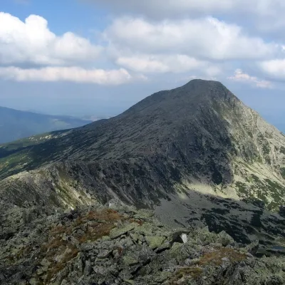 PeakRetezat PeakRâușoraltitude 2 482 m13 km from the centre4 trails to the topRetezat Peak (Romanian: Vârful Retezat, Hungarian: Retyezát-csúcs) is a 2,482 m summit in the northern part of the Retezat Mountains in the Southern Carpathians, in...
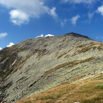 PeakBucura (Retezat)Râușoraltitude 2 433 m15 km from the centre2 trails to the topBucura (Romanian: Vârful Bucura, Hungarian: Bukura-csúcs) is a massive double summit on the northern main ridge of the Retezat Mountains in the Southern Carpathians,...
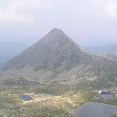 PeakPăpușa (Retezat)Râușoraltitude 2 508 m15 km from the centre1 trail to the topPăpușa (Romanian: Vârful Păpușa, Hungarian: Papusa-csúcs) is a summit on the main ridge of the Retezat Mountains in the Southern Carpathians, in Hunedoara County.
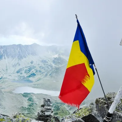 PeakPeleagaRâușoraltitude 2 509 m15 km from the centre2 trails to the topPeleaga (Romanian: Vârful Peleaga, Hungarian: Pelága-csúcs) is the highest summit of the Retezat Mountains in the Southern Carpathians, 2,509 m above sea level.
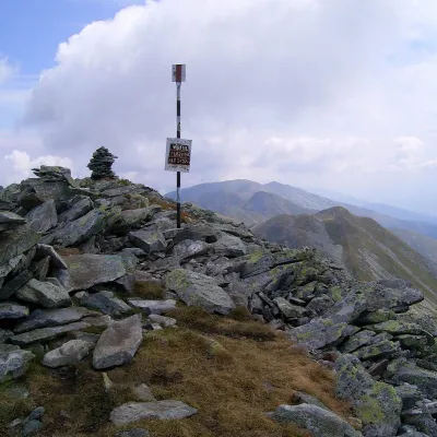 PeakCusturaaltitude 2 457 m17 km from the centreCustura (Romanian Vârful Custura) is a 2,457 m summit in the Retezat Mountains of the Southern Carpathians – according to Romanian Wikipedia, the fifth-highest in the...
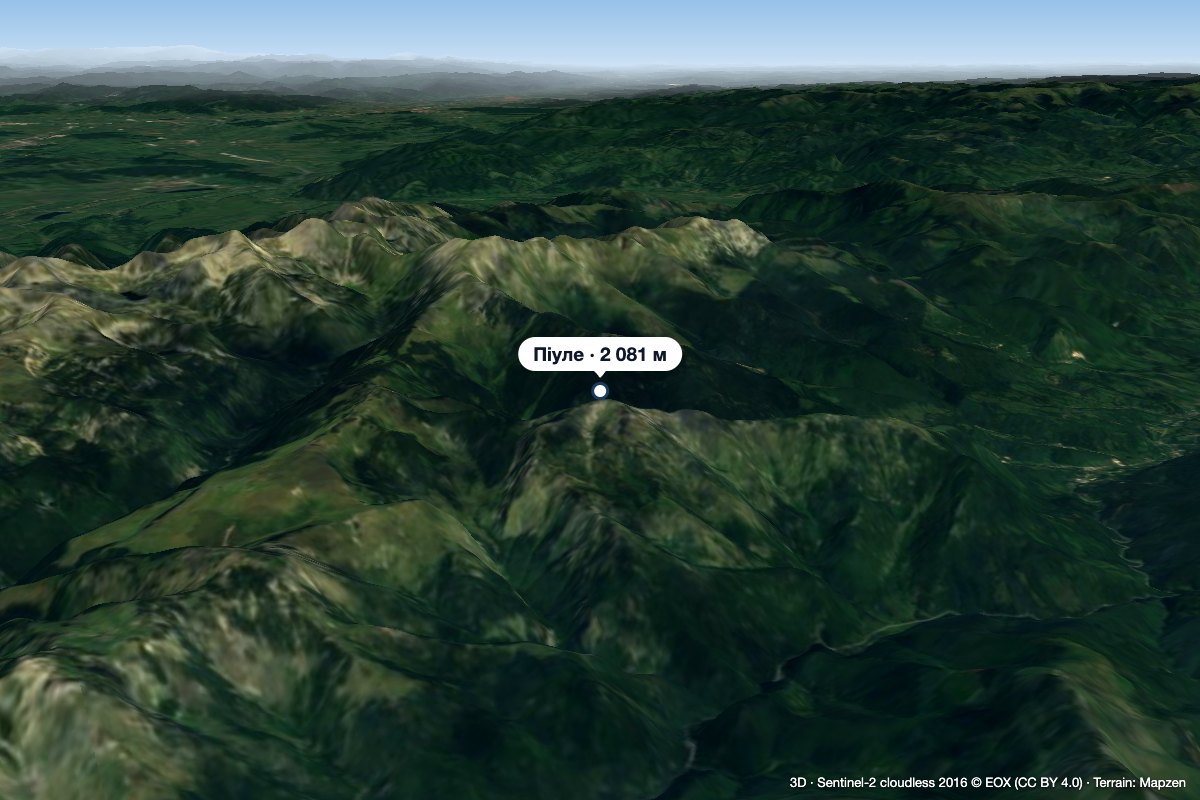 PeakPiuleCâmpu lui Neagaltitude 2 081 m22 km from the centrePiule (Romanian Vârful Piule) is the highest summit of the Piule-Iorgovanu Mountains, at 2,081 m. In hiking literature the massif is usually called Retezatul Mic, the ...
What to visit
All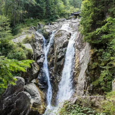
Huts, shelters and springs nearby
Getting there from Ukraine
Border crossings
- Porubne – Siret — road and pedestrian, 24/7
- Diakivtsi – Racovăț — road and pedestrian, 24/7 No freight traffic.
- Krasnoilsk – Vicovu de Sus — road and pedestrian, 08:00–20:00 Cars up to 3.5 t and pedestrians only; not 24/7.
- Solotvyno – Sighetu Marmației — road and pedestrian, 24/7 Passenger traffic only: vehicles up to 3.5 t with up to 9 seats, pedestrians.
- Diakove – Halmeu — road, 24/7 No pedestrian crossing.
By car
Rakhiv – Petroșani ≈450 km, ≈6 h 36 min (via Solotvyno – Sighetu Marmației); Ivano-Frankivsk – Petroșani ≈584 km, ≈8 h 55 min (via Solotvyno – Sighetu Marmației); Chernivtsi – Petroșani ≈539 km, ≈9 h 19 min (via Krasnoilsk – Vicovu de Sus). Times without border queues, our road routing (GraphHopper, OSM).
Checked 03.11.2026; border crossing hours and timetables change — check before you travel.
