Retezat Peak
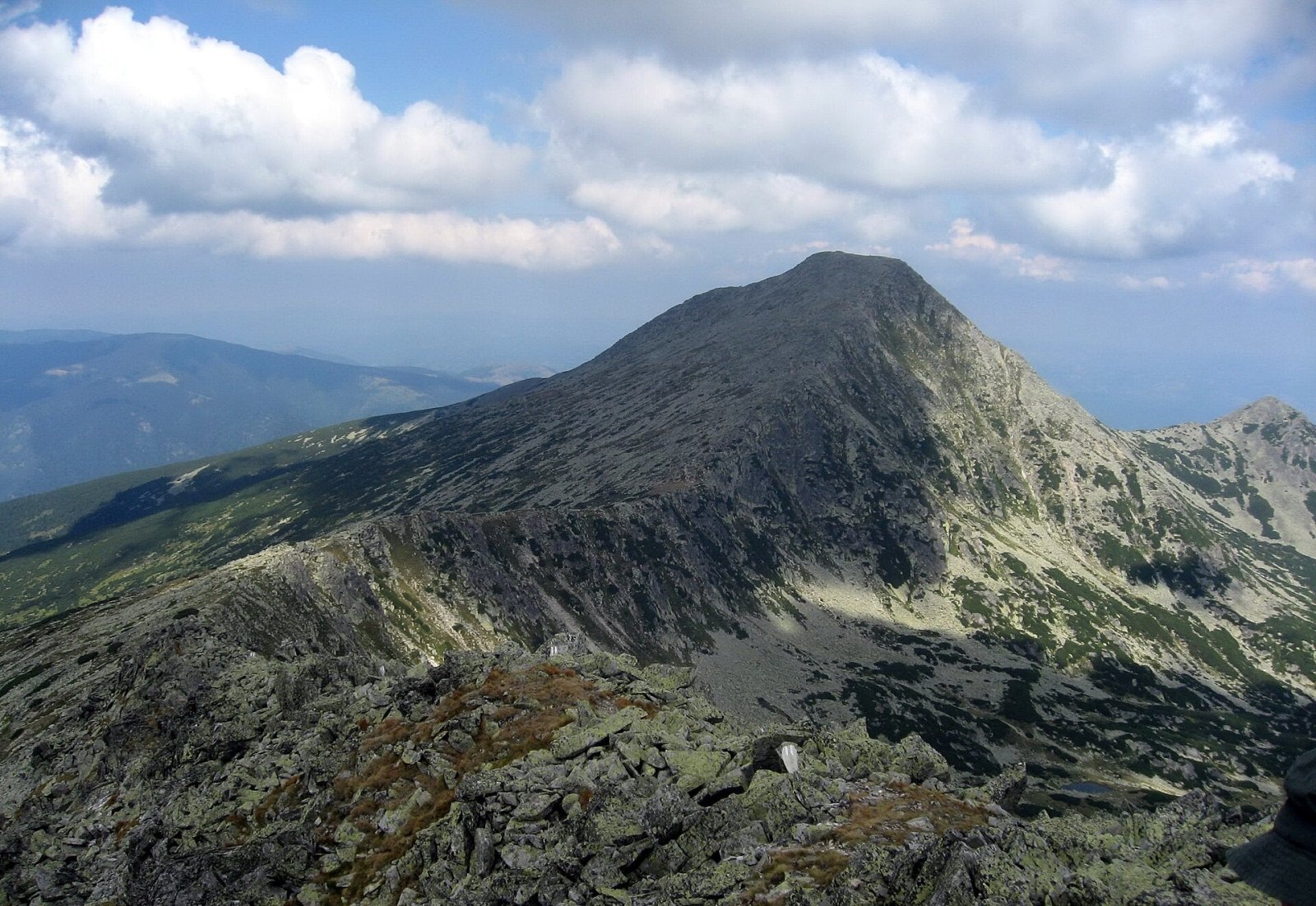
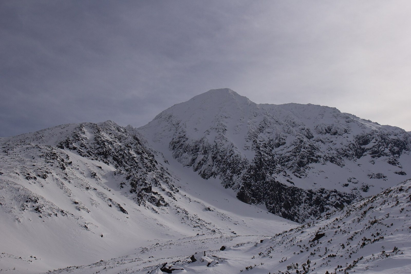
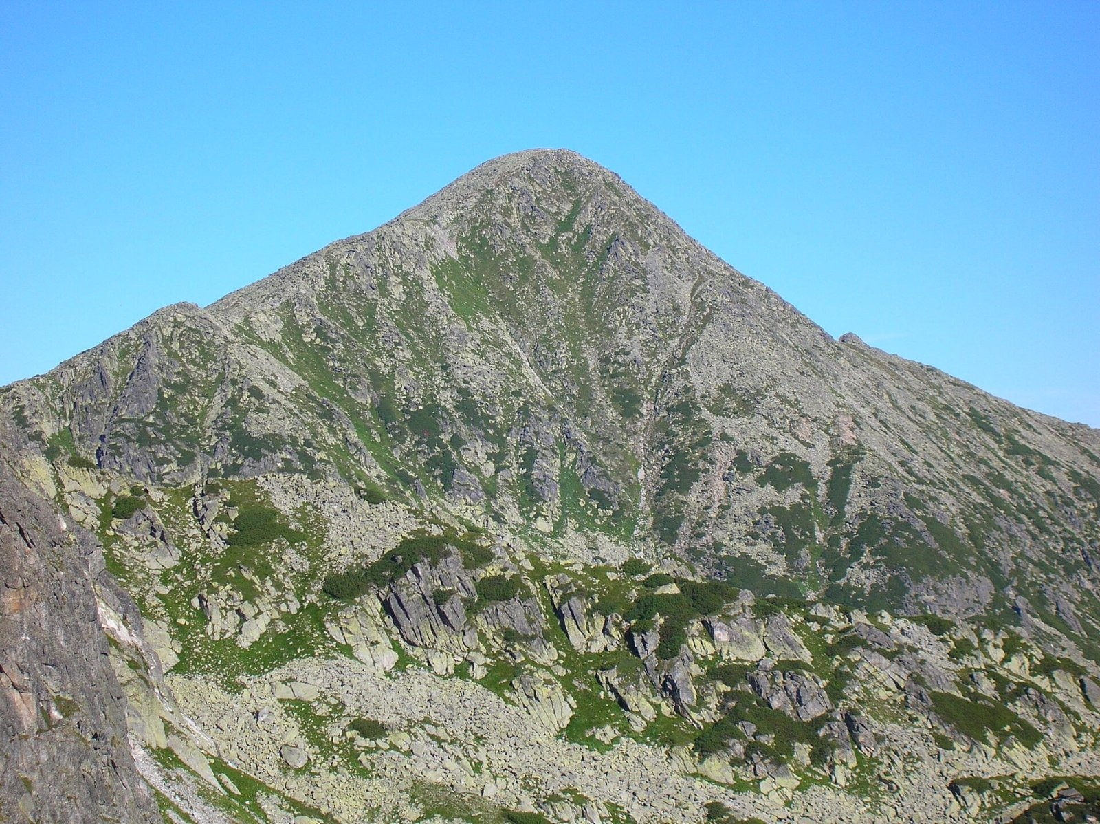
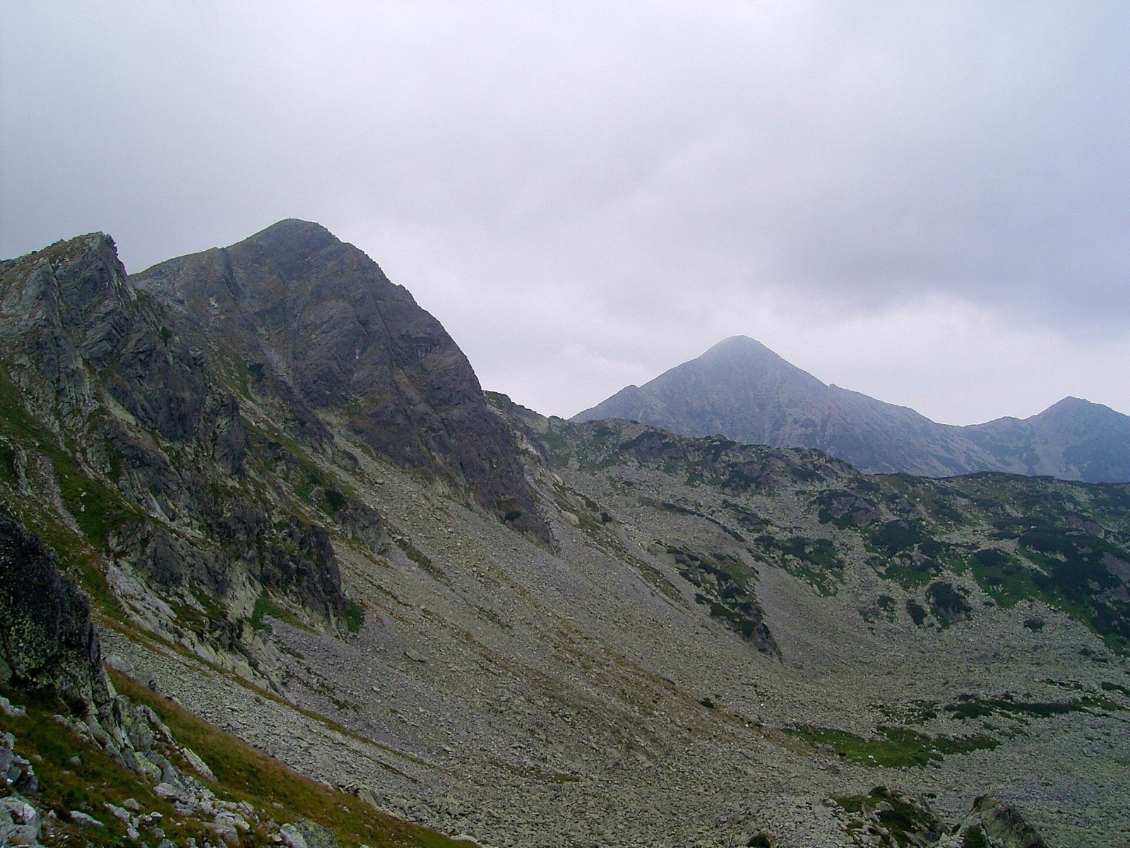
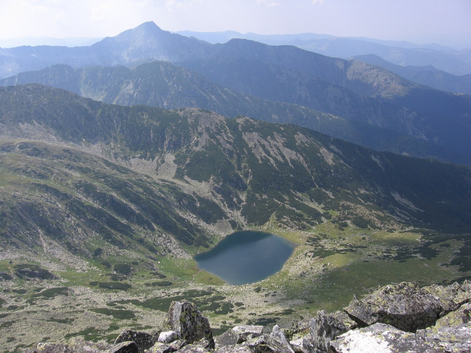
Retezat Peak (Romanian: Vârful Retezat, Hungarian: Retyezát-csúcs) is a 2,482 m summit in the northern part of the Retezat Mountains in the Southern Carpathians, in Hunedoara County. It gave its name to the whole range because, as Romanian Wikipedia explains, it is visible from a great distance. By height it is only third in the range, after Peleaga (2,509 m) and Păpușa (2,508 m). The nearest settlement is the ski village of Râușor, about 4 km to the north-west, and the village of Brazi in the valley is about 11.5 km away.
Seen from the east, the mountain is a regular cone with a flat, seemingly cut-off top. Hungarian Wikipedia derives the name from this: Romanian «retezat» means «cut off, truncated». According to Romanian Wikipedia, the flat summit has given rise to many legends and folk tales.
How to get there / routes
The Retezat National Park administration recommends two routes to the summit; both take 10–11 hours and are graded medium/difficult.
- Route No. 2: Cârnic – Pietrele hut – Lake Stânișoara – Retezat Peak and back (height difference 1,680 m). From the Cârnic car park a road leads to the Pietrele mountain hut (blue stripe), then the blue triangle takes over. Up to Lake Stânișoara (about 2,000 m) the path is moderate, then the slope steepens sharply and the final climb to the Retezat saddle requires care. The route then follows the main ridge with views to the west over the Gemenele strict reserve, which is closed to tourists. On the way back you can continue along the ridge on the yellow stripe over Lolaia North and Lolaia South — about 2 hours more over granite blocks that need care in rain.
- Route No. 4: Râușor – Lake Ștevia – Lolaia saddle – Retezat Peak – Prelucele ridge – Râușor (height difference 1,400 m). From the foot of the ski slope at Râușor the red stripe climbs the Ștevia valley to the Condor refuge at the edge of the spruce forest, open all year. Above the tree line it is worth a 15-minute detour to Lake Ștevia below the steep walls of Retezat. After the steep climb to the Lolaia saddle comes the demanding final ascent; the summit is about 4 hours from the start. You can descend the same way or westwards along the Prelucele ridge on the red triangle, past the Colții Prelucelor rocks to the Valareasca sheepfold.
Hungarian Wikipedia adds that from the Retezat saddle on the south side the summit is half an hour of steep climbing, and a yellow stripe leads here from Lake Bucura over Bucura peak.
What you can see from the summit
The summit overlooks the central Retezat: to the south Peleaga and Păpușa, to the west the hollows of the Gemenele reserve with their lakes, at its foot Lake Ștevia, and to the north the mountains descend to the Hațeg Depression.
Safety, season and rules
Both park routes to the summit take 10–11 hours, so start at dawn. The final climb from the Retezat saddle is steep and requires care, and the granite blocks on the Lolaia ridge are slippery in rain. In winter, according to the park, the summit is climbed only with special equipment: from the north the route leaves the waymarks and crosses the ridge at the «winter saddle» about a kilometre south of the Retezat saddle. The summit lies in the Retezat National Park, Romania's first national park. Under the park administration's rules, visits are subject to a fee: a ticket costs 10 lei and is valid for 7 days (sold on bilete.retezat.ro, at the access points and at the Nucșoara visitor centre). Walking is allowed only on marked trails, tents only in designated places, open fires are banned (only a stove is allowed at campsites), dogs must be kept on a lead, and swimming in the lakes is prohibited. The Gura Apelor – Gura Bucurii forest road (about 20 km, a high-clearance vehicle is recommended) is open, weather permitting, roughly from mid-May to mid-November; in winter the routes from Gura Bucurii are inaccessible. In winter the high ridges carry a serious avalanche risk — follow the avalanche bulletin of Romania's National Meteorological Administration (ANM) on meteoromania.ro.
Bears are common in the Romanian Carpathians. Salvamont rescuers advise not to hike alone, to talk loudly so that an animal hears you in advance, to keep your distance and never feed wildlife, and to store food in sealed containers away from your tent; if you meet a bear, do not run and back away slowly without turning your back.
Mountain rescue: Salvamont national dispatch 0SALVAMONT = 0725 826 668 and the emergency number 112.
Interesting facts
- Although the range is named after this peak, it is only the third highest in the Retezat.
- The name «Retezat» translates as «cut off» — because of the mountain's flat top.
Photos: Dezidor, CC BY 3.0; Diószegi Zoltán, CC BY-SA 4.0; T. Lessiak, Public domain; Hardsr, Public domain; Olario, Public domain; Thalpha, CC BY-SA 3.0 — Wikimedia Commons.
Getting there from Ukraine
Border crossings
- Porubne – Siret — road and pedestrian, 24/7
- Diakivtsi – Racovăț — road and pedestrian, 24/7 No freight traffic.
- Krasnoilsk – Vicovu de Sus — road and pedestrian, 08:00–20:00 Cars up to 3.5 t and pedestrians only; not 24/7.
- Solotvyno – Sighetu Marmației — road and pedestrian, 24/7 Passenger traffic only: vehicles up to 3.5 t with up to 9 seats, pedestrians.
- Diakove – Halmeu — road, 24/7 No pedestrian crossing.
By car
Rakhiv – Petroșani ≈450 km, ≈6 h 36 min (via Solotvyno – Sighetu Marmației); Ivano-Frankivsk – Petroșani ≈584 km, ≈8 h 55 min (via Solotvyno – Sighetu Marmației); Chernivtsi – Petroșani ≈539 km, ≈9 h 19 min (via Krasnoilsk – Vicovu de Sus). Times without border queues, our road routing (GraphHopper, OSM).
Checked 03.11.2026; border crossing hours and timetables change — check before you travel.
Location on the map
Water and shelter nearby
- Spring below Bucura II1 km · Not verified · 2 067 m
- Spring below Prelucele (west slope)1.5 km · Not verified · 2 075 m
- Spring below Lolaia Nord (west slope)1.8 km · Not verified · 1 775 m
- Condor Hut2 km · Not verified · 1 632 m
- Spring below Lolaia Nord (north-east slope)2.4 km · Not verified · 1 700 m
- Spring below Vârful Judele2.5 km · Not verified · 2 183 m
- Spring below Bucura I2.7 km · Not verified · 2 094 m
- Spring below Pietrele (north-west slope)2.7 km · Not verified · 1 681 m
- Gențiana Hut2.8 km · Locked · 1 674 m
- Spring below Ciurilă (west slope)3 km · Not verified · 1 705 m
Comments
Nearby attractions
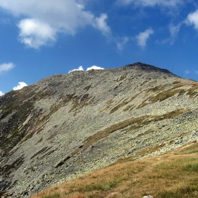 PeakBucura (Retezat)Râușoraltitude 2 433 m1.9 km from Retezat PeakBucura (Romanian: Vârful Bucura, Hungarian: Bukura-csúcs) is a massive double summit on the northern main ridge of the Retezat Mountains in the Southern Carpathians,...
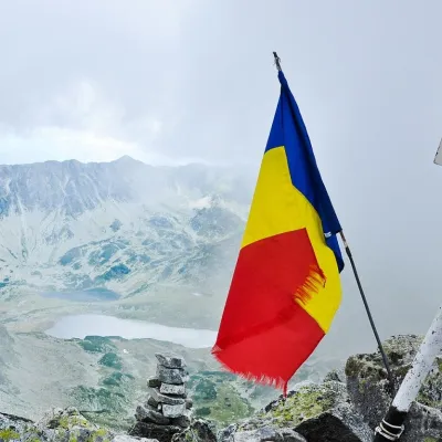 PeakPeleagaRâușoraltitude 2 509 m3.8 km from Retezat PeakPeleaga (Romanian: Vârful Peleaga, Hungarian: Pelága-csúcs) is the highest summit of the Retezat Mountains in the Southern Carpathians, 2,509 m above sea level.
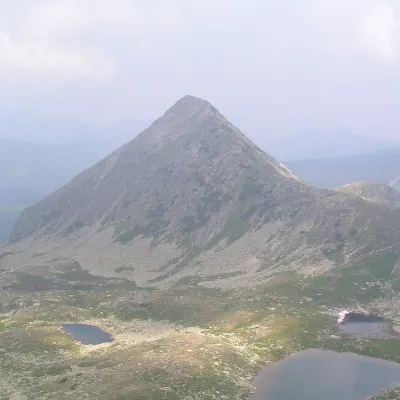 PeakPăpușa (Retezat)Râușoraltitude 2 508 m4.7 km from Retezat PeakPăpușa (Romanian: Vârful Păpușa, Hungarian: Papusa-csúcs) is a summit on the main ridge of the Retezat Mountains in the Southern Carpathians, in Hunedoara County.
