Suru
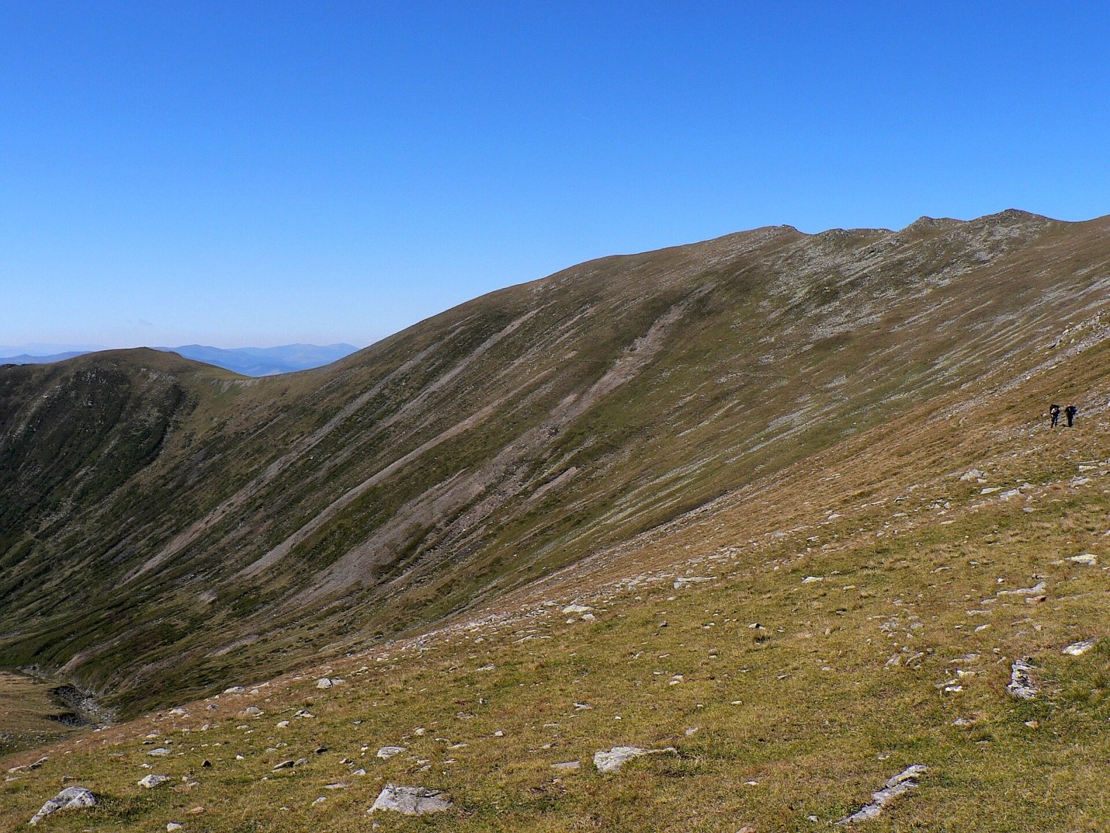
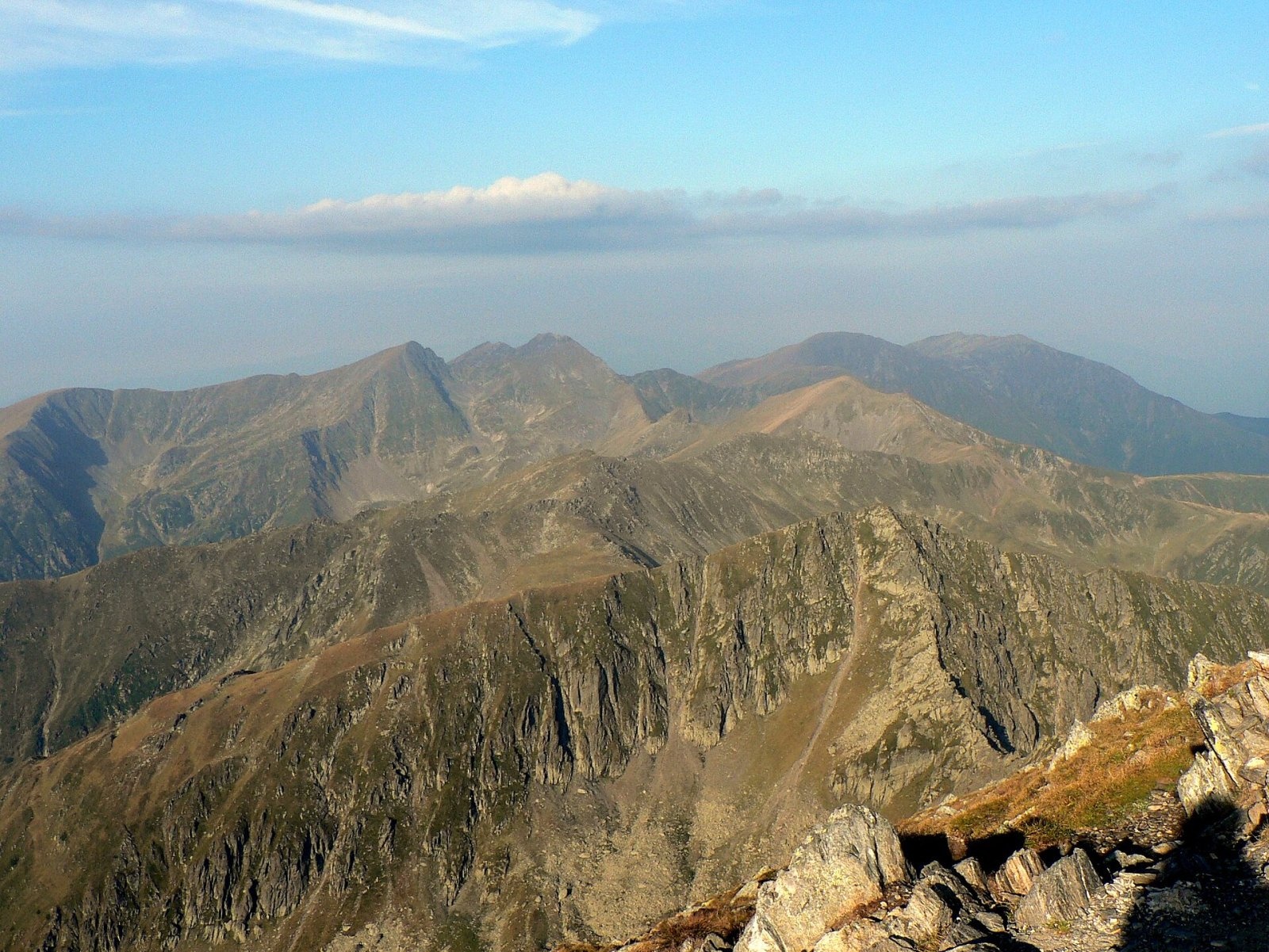
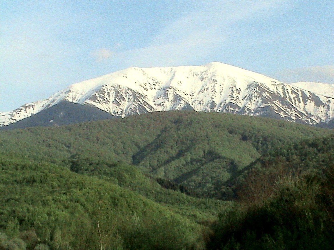
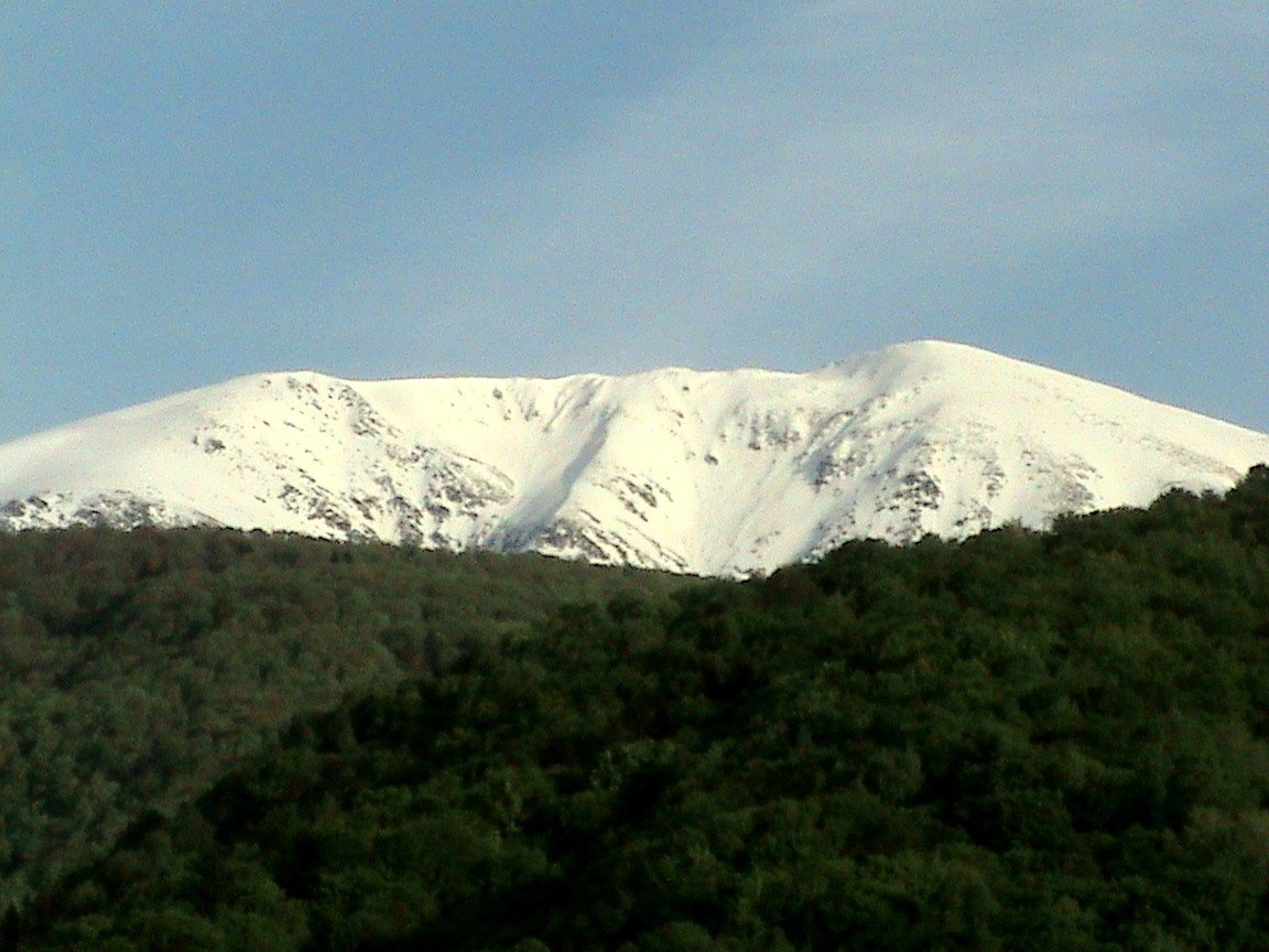
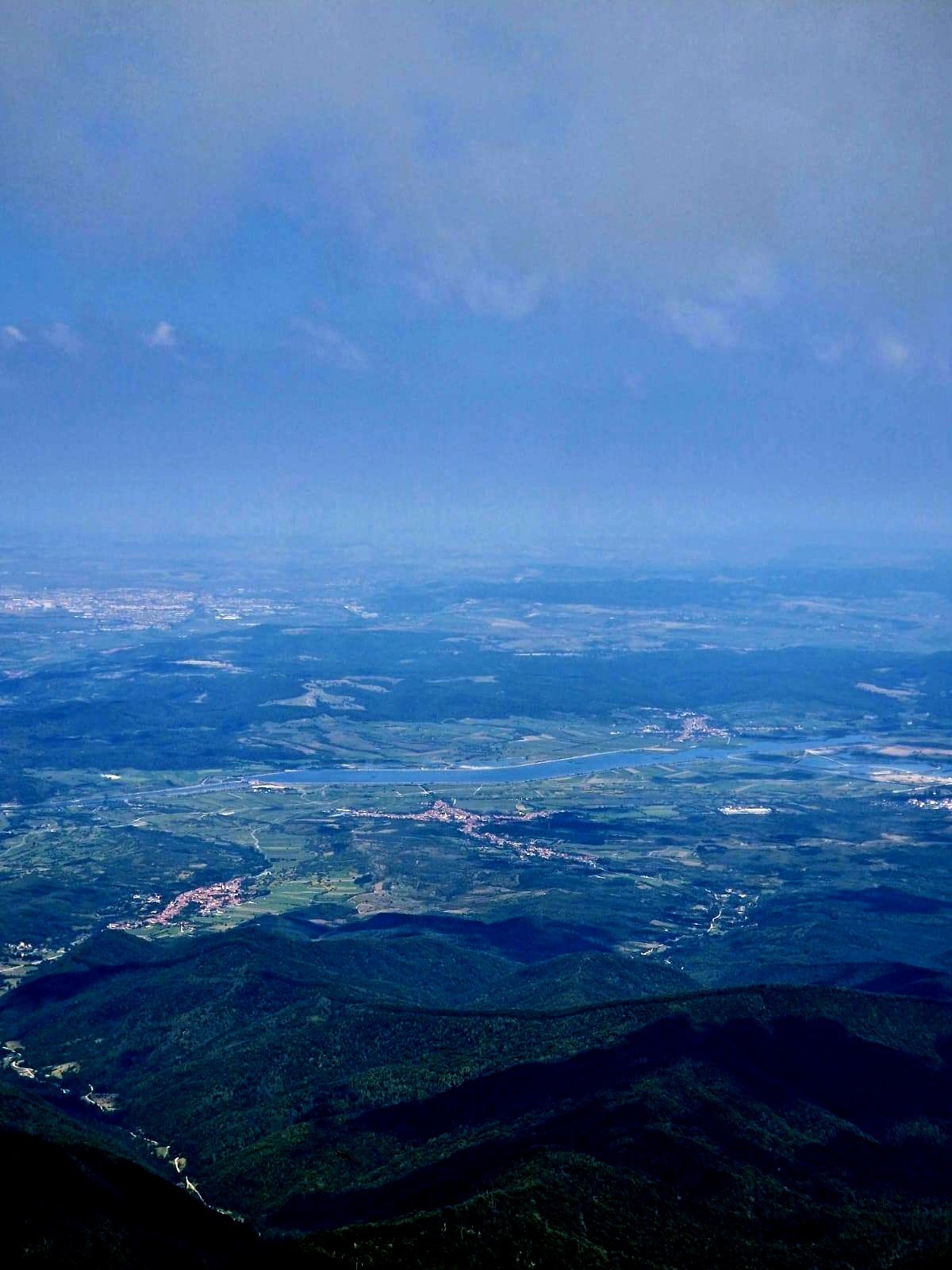
Suru (Romanian: Vârful Suru) is a 2,281 m summit in the western part of the Făgăraș Mountains in the Southern Carpathians, in Sibiu County. It rises above the Olt valley and the villages of Sebeșu de Sus and Sebeșu de Jos, about 10 km to the north. Romanian Wikipedia notes that the commune of Racovița, an old settlement first recorded in 1443, lies at the foot of the peak. Together with the neighbouring Capul Surului (2,274 m), Suru forms a massive pair linked by a ridge about 700 m long.
How to get there / routes
The main approach is route No. 6 with the red triangle (07MN06 on muntii-nostri.ro): from the Sebeș Olt railway halt through the village of Sebeșu de Sus onto the Muchia Moașei ridge, past the Suru mountain hut (about 1,425 m) and the Salvamont rescuers' monument to the Curmătura Surului saddle (2,113 m) on the main ridge. It is 15.9 km, 6–8 hours and more than 1,800 m of ascent, graded medium/difficult. From the Suru hut to the saddle it is about 2 hours according to the route description. From the saddle an unmarked and difficult path leads to the summit itself.
A shorter approach to the Suru hut is route No. 8 with the red dot along the Moașa Sebeșului valley (8.5 km, about 1,000 m of ascent, 3.5–4 hours). From the Avrig side route No. 7 with the blue triangle climbs to the hut and on to the main ridge. The Curmătura Surului saddle marks the start of the most popular section of the Făgăraș ridge route with the red stripe — east over Scara and Șerbota peaks to Negoiu and the Capra saddle.
What you can see from the summit
According to muntii-nostri.ro, the Curmătura Surului saddle offers views of the surrounding valleys, the Găvanul cirque and the ridges gaining height towards Suru. A photo on Wikimedia Commons taken from the summit itself shows the village of Racovița below to the north, in the Făgăraș Depression; by position, the western part of the main ridge runs east from here towards Scara and Negoiu.
Nature and history
Below the summit lies the glacial Găvanul cirque with the remains of an old sheepfold; above the tree line there are alpine meadows and stony slopes. Where the path leaves the forest above the Suru hut stands a monument to the rescuers: it commemorates the rescue operation of 18 March 1980, when an avalanche took the life of a rescuer. The peak also has a war history: a 1916 photograph from Albert Reich's book, kept on Wikimedia Commons, shows the German Alpine Corps climbing the ridge between Suru and Negoiu during the fighting for Transylvania in the First World War.
Safety, season and rules
From the Curmătura Surului saddle an unmarked and difficult path leads to the summit — use it only in good visibility. In winter, according to the muntii-nostri.ro route description, the section from the Suru mountain hut to the summit is dangerous, and the last stretch to the ridge is passable only with special equipment; the rescuers' monument on Fruntea Moașei is a reminder that avalanches do hit the routes here. The Făgăraș ridge is not a national park but the Natura 2000 site «Munții Făgăraș» (ROSCI0122) with its own regulations: stay on marked trails and take your litter with you. In winter the high ridges carry a serious avalanche risk — follow the avalanche bulletin of Romania's National Meteorological Administration (ANM) on meteoromania.ro.
Bears are common in the Romanian Carpathians. Salvamont rescuers advise not to hike alone, to talk loudly so that an animal hears you in advance, to keep your distance and never feed wildlife, and to store food in sealed containers away from your tent; if you meet a bear, do not run and back away slowly without turning your back.
Mountain rescue: Salvamont national dispatch 0SALVAMONT – 0725 826 668 or 112. Near sheepfolds do not run from sheepdogs – shield yourself with your rucksack. Advice on animal encounters is on the Salvamont România website.
Interesting facts
- No marked path leads to the summit of Suru itself.
- The rescuers' monument on Fruntea Moașei is dedicated to a rescuer killed in a 1980 avalanche.
Photos: Krzysztof Dudzik-Górnicki (User:ToSter), CC BY-SA 3.0; Krzysztof Dudzik-Górnicki (User:ToSter), CC BY-SA 3.0; Asybaris01, CC BY 3.0; Asybaris01, CC BY 3.0; Asybaris01, CC BY-SA 4.0 — Wikimedia Commons.
Getting there from Ukraine
Border crossings
- Porubne – Siret — road and pedestrian, 24/7
- Diakivtsi – Racovăț — road and pedestrian, 24/7 No freight traffic.
- Krasnoilsk – Vicovu de Sus — road and pedestrian, 08:00–20:00 Cars up to 3.5 t and pedestrians only; not 24/7.
- Solotvyno – Sighetu Marmației — road and pedestrian, 24/7 Passenger traffic only: vehicles up to 3.5 t with up to 9 seats, pedestrians.
- Diakove – Halmeu — road, 24/7 No pedestrian crossing.
By car
Rakhiv – Sibiu ≈390 km, ≈5 h 33 min (via Solotvyno – Sighetu Marmației); Ivano-Frankivsk – Sibiu ≈524 km, ≈7 h 52 min (via Solotvyno – Sighetu Marmației); Chernivtsi – Sibiu ≈435 km, ≈8 h 00 min (via Diakivtsi – Racovăț). Times without border queues, our road routing (GraphHopper, OSM).
Checked 03.11.2026; border crossing hours and timetables change — check before you travel.
Location on the map
Water and shelter nearby
- Spring below Suru340 m · Not verified · 2 161 m
- Spring below Capul Surului850 m · Not verified · 2 147 m
- Spring below Moașa2 km · Not verified · 1 460 m
- Suru Hut (without sheep)2.5 km · Not verified · 1 296 m
- Spring on Culmea Moasei, 1 336 m2.5 km · Not verified · 1 336 m
- Spring below Tătarul (east slope)2.9 km · Not verified · 1 795 m
Wildlife nearby
AllComments
Nearby attractions
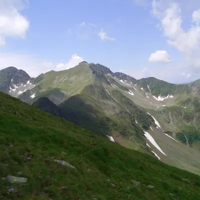 PeakCiorteaaltitude 2 427 m3.8 km from SuruCiortea (Romanian Muntele Ciortea, German Hohe Scharte, Hungarian Csortea) is a mountain in the western Făgăraș with three close summits, the highest of which, Ciortea...
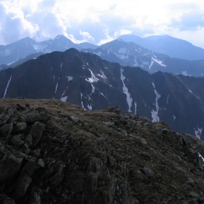 PeakȘerbotaaltitude 2 331 m7.8 km from SuruȘerbota (Romanian: Vârful Șerbota, Hungarian: Serbota-csúcs) is a 2,331 m summit on the main ridge of the Făgăraș Mountains in the Southern Carpathians, west of Negoiu...
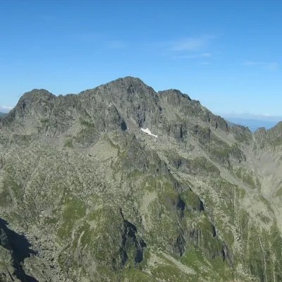 PeakNegoiu Peakaltitude 2 535 m9.4 km from SuruNegoiu Peak (Romanian: Vârful Negoiu, Hungarian: Negoj-csúcs) is a 2,535 m summit on the main ridge of the Făgăraș Mountains in the Southern Carpathians.
