Arpașul Mare
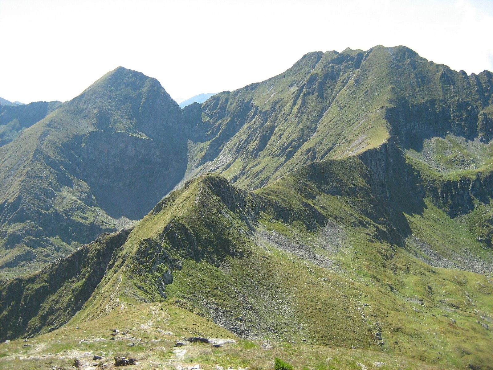
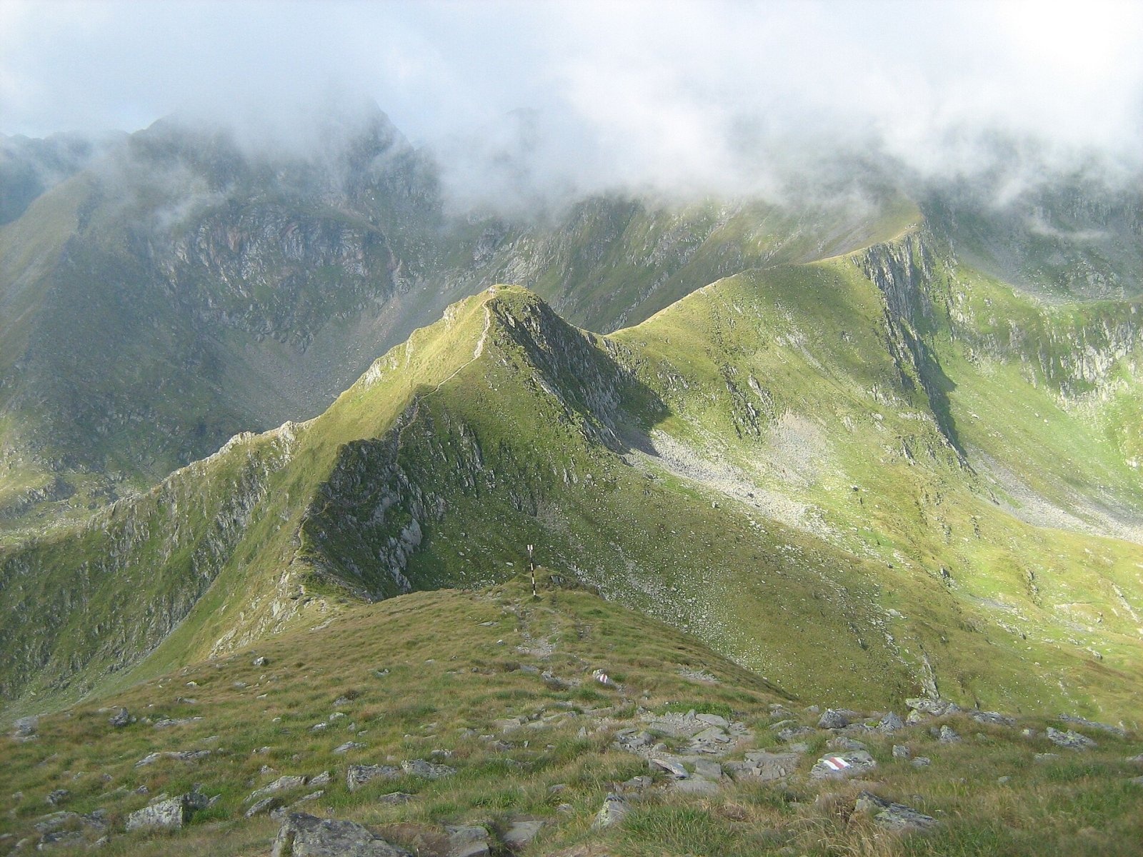
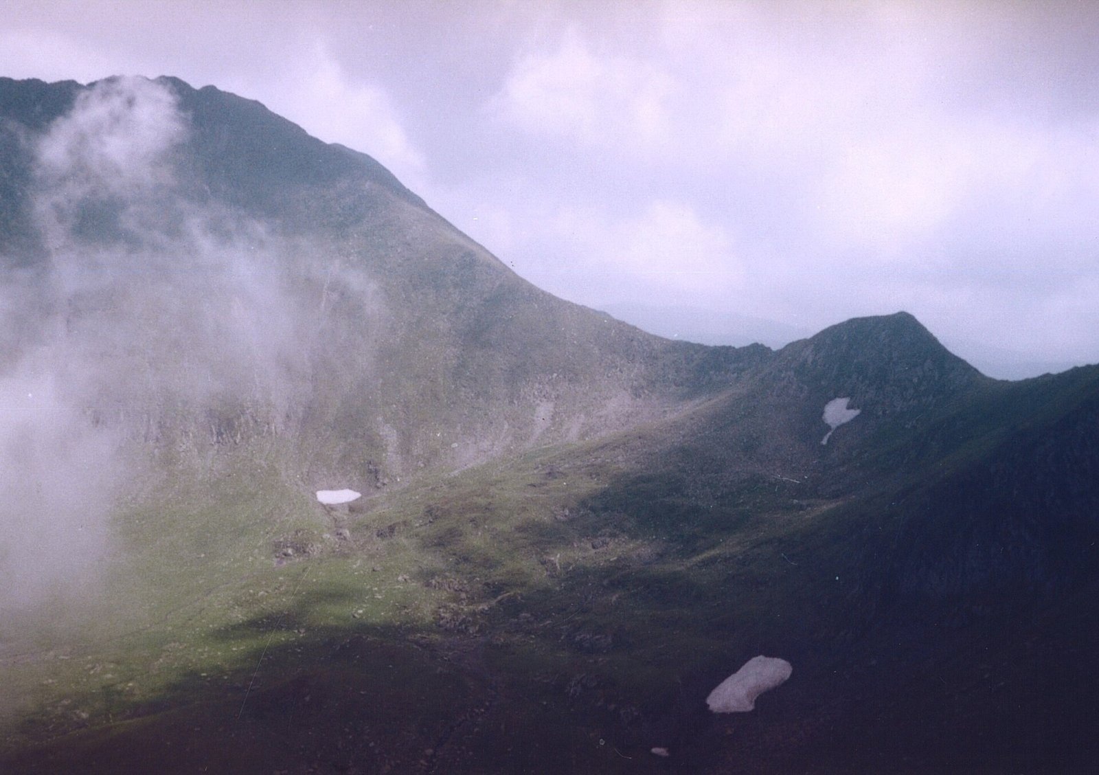
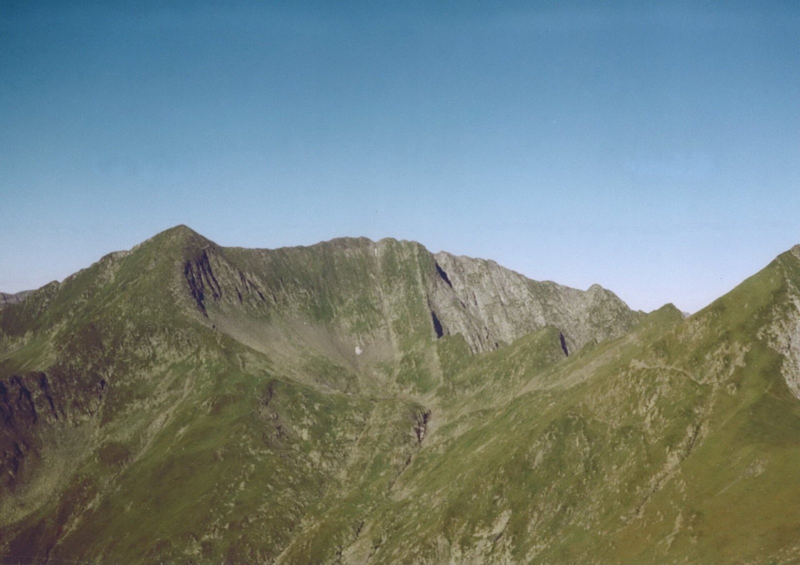
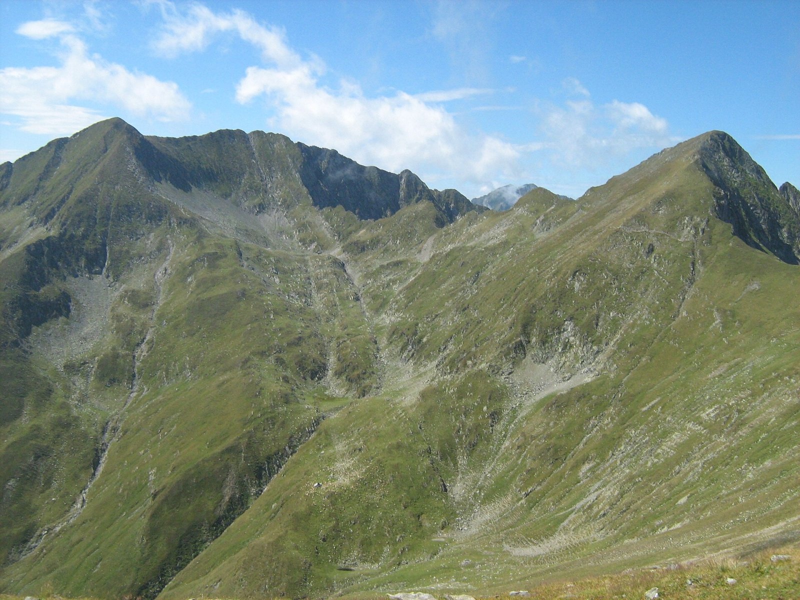
Arpașul Mare (Romanian Vârful Arpașul Mare, also Arpașu Mare or Vârtopul) is a 2,468 m summit on the main ridge of the Făgăraș Mountains, on the border of Sibiu and Argeș counties. It rises above the head of the Arpaș valley, which drops north towards Transylvania, while to the south lies the cirque with Lake Buda. Its nearest neighbour, Mircii, is only a few hundred metres to the east; to the west a jagged crest runs to Arpașul Mic and Fereastra Zmeilor.
According to Romanian Wikipedia, Arpașul Mare is climbed either from Mircii or from Arpașul Mic. It is one of the summits of the rockiest stretch of the main ridge, between Lake Capra and the Podragu saddle, a section especially loved by climbers.
How to get there / routes
Most people come from the west, from the Transfăgărășan road: by path to the Fereastra Zmeilor shelter and then onto the main ridge at the Portița Arpașului saddle, where the rock arch of Fereastra Zmeilor (“the Dragons' Window”, 2,175 m) stands. From here the red stripe of the ridge crosses the section called “Three Steps from Death” (La Trei Pași de Moarte) – a narrow, exposed crest with chains and cables – and skirts Arpașul Mic on its northern side. This section can be bypassed by a blue-cross path through the Căldarea Pietroasă cirque to the Podragu hut, though Munții Noștri advises against it in fog.
The path then passes the Nerlinger memorial (2,291 m), recalling the Nerlinger–Ruzicka expedition of 1934, and the rocky Parul de Fier spur (2,316 m), drops to the Vârtopului saddle (2,287 m) and climbs at length towards Mircii. According to Munții Noștri, about 200 m before the Mircii summit it is worth turning 130 m north – that is how you reach Arpașul Mare, whose views differ slightly from its neighbour's. The Transfăgărășan – Fereastra Zmeilor – Podragu loop that includes this stretch is, according to the same source, about 17 km with 1,500 m of ascent and takes 9–11 hours.
What you see from the summit
Photos by Munții Noștri taken on Arpașul Mare show Negoiu and Lespezi to the west; from just below the top you see Lake Podu Giurgiului in its cirque to the east. From the Vârtopului saddle, the same source says, you see Buda peak, the head of the Podu Giurgiului valley and Arpașul Mare itself. The sources give no wider description of the panorama; by its position, the Arpaș valley lies to the north and the ridges above the Transfăgărășan to the south.
Nature and history
Munții Noștri calls the Arpășel–Vârtopel crest west of the summit the most rugged alpine section of the whole ridge. That beauty has its price: on the shore of nearby Lake Capra stands a memorial to four climbers swept away by an avalanche in 1963 on their way to the Arpășel crest. Romanian Wikipedia singles out Portița Arpașului with the Fereastra Zmeilor arch as an example of the narrow crests and notched saddles carved by frost weathering in the Făgăraș.
The northern slope of the peak belongs to the “Alpine zone of the Făgăraș between Podragu and Suru” nature reserve, which protects cirques, lakes and alpine meadows; the Arpaș valley below, according to Munții Noștri, is wild and hard to access, with rock steps and waterfalls.
Safety, season and rules
The Făgăraș ridge is the Natura 2000 site “Munții Făgăraș” (ROSCI0122), not a national park; follow its regulations and keep to marked paths. “Three Steps from Death” needs a sure foot and dry weather; Munții Noștri considers the ridge route inaccessible in winter, when snow hides the waymarks and the slopes are prone to avalanches – follow the bulletin at meteoromania.ro. Also check whether the high section of the Transfăgărășan is open: it is closed in the cold season. In summer beware of thunderstorms – on a ridge with steel cables they are especially dangerous.
Bears live in the Făgăraș: stay on marked paths, call out, do not keep food in your tent and do not run from dogs near sheepfolds. In an emergency call the national dispatch 0SALVAMONT – 0725 826 668 or 112; advice is on the Salvamont România website.
Photos: Cioboata Andrei, CC BY 3.0; Cioboata Andrei, CC BY 3.0; Hardsr, Public domain; Hardsr, Public domain; Cioboata Andrei, CC BY 3.0 — Wikimedia Commons.
Getting there from Ukraine
Border crossings
- Porubne – Siret — road and pedestrian, 24/7
- Diakivtsi – Racovăț — road and pedestrian, 24/7 No freight traffic.
- Krasnoilsk – Vicovu de Sus — road and pedestrian, 08:00–20:00 Cars up to 3.5 t and pedestrians only; not 24/7.
- Solotvyno – Sighetu Marmației — road and pedestrian, 24/7 Passenger traffic only: vehicles up to 3.5 t with up to 9 seats, pedestrians.
- Diakove – Halmeu — road, 24/7 No pedestrian crossing.
By car
Rakhiv – Sibiu ≈390 km, ≈5 h 33 min (via Solotvyno – Sighetu Marmației); Ivano-Frankivsk – Sibiu ≈524 km, ≈7 h 52 min (via Solotvyno – Sighetu Marmației); Chernivtsi – Sibiu ≈435 km, ≈8 h 00 min (via Diakivtsi – Racovăț). Times without border queues, our road routing (GraphHopper, OSM).
Checked 03.11.2026; border crossing hours and timetables change — check before you travel.
Location on the map
Water and shelter nearby
- Sursa Lac Spring330 m · Not verified · 2 262 m
- Spring below Mircii490 m · Not verified · 2 235 m
- Spring below Podragu (south slope)670 m · Not verified · 2 297 m
- Spring below Podragu (north slope)1.6 km · Not verified · 2 073 m
- Podragu Hut1.6 km · Standing · 2 086 m
- Fereastra Zmeilor Hut, 2 047 m2.1 km · Not verified · 2 047 m
- Fereastra Zmeilor Hut, 2 050 m2.1 km · Not verified · 2 050 m
- Spring below Corabia (south-west slope), 2 163 m2.2 km · Not verified · 2 163 m
- Spring below Vf. La Pârâul Cheii2.2 km · Not verified · 1 801 m
- Spring below Turnul Vârtopel (south slope), 1 821 m2.5 km · Not verified · 1 821 m
- Spring below Turnul Vârtopel (south slope), 1 785 m2.6 km · Not verified · 1 785 m
- Spring below Râiosu2.6 km · Not verified · 1 443 m
Wildlife nearby
AllComments
Nearby attractions
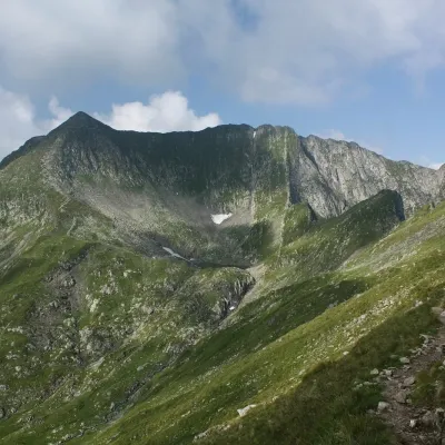 PeakMirciialtitude 2 470 munder 1 km from Arpașul MareMircii (Romanian Vârful Mircii) is a 2,470 m summit in the central part of the Făgăraș Mountains, in Argeș County.
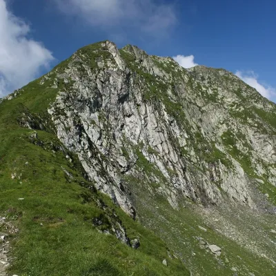 PeakPodragualtitude 2 462 munder 1 km from Arpașul MarePodragu (Romanian Vârful Podragu) is a 2,462 m summit in the central Făgăraș Mountains, where the borders of three counties – Brașov, Argeș and Sibiu – meet.
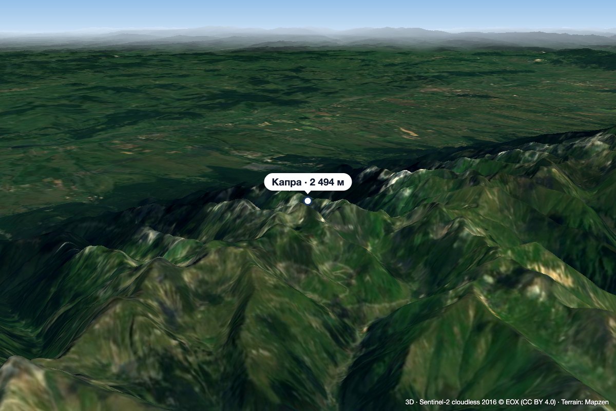 PeakCapra (Făgăraș)altitude 2 494 m3.5 km from Arpașul MareCapra (Romanian: Vârful Capra, Hungarian: Zerge-csúcs, «Chamois Peak») is a 2,494 m summit in the Făgăraș Mountains of the Southern Carpathians, above Lake Bâlea and...
