No. 14 Sianky – Mount Chorna Rypa
Trail map
Route, springs and shelters: © OpenStreetMap contributors (ODbL) · elevation: Copernicus DEM © DLR e.V., © Airbus DS · Data & licences
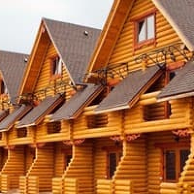
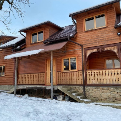
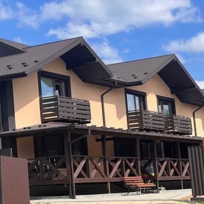
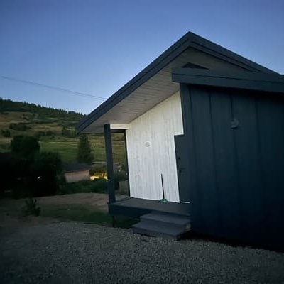
Where to stay nearby

About the trail
Route No. 14 Sianky – Mount Chorna Rypa. Has yellow marking (regional route №14). Waymarking data: OpenStreetMap (© OpenStreetMap contributors, ODbL).
Officially marked regional tourist route №14. The marking is yellow, the sign is a horizontal stripe on a white background. Marked and maintained by: Department of Tourism and Resorts of Lviv Oblast. The length of the route is 85 km. Location: mountain range — Bieszczady, Lviv Oblast.
Attention: part of the route is not yet mapped in OpenStreetMap, so the line on the map has gaps. On the ground, orient yourself by the marking signs.
At a glance
A multi-day route of 85 km with 3,601 m of ascent from Sianky to Mount Chorna Rypa. Estimated time: 4 days of 6–8 h of walking (about 27.5 h in total, not counting stops). Difficulty: hard. Waymarking: yellow.
Route stages
- 0–32 kmGentle ups and downs at 830–1,370 m, past Mount Velykyi Verkh, Mount Hostryi Verkh, Mount Nondah, Mount Zelemenyi
- 32–39 kmDescent of 820 m to Bilasovytsi Cheese Dairy
- 39–63 kmGentle ups and downs at 540–1,110 m, past Mount Yavirnyk
- 63–70 kmDescent of 410 m (down to 693 m)
- 70–85 kmGentle ups and downs at 690–1,290 m, past Mount Chorna Ripa
Steepest kilometre: km 33–34, a descent of 270 m (≈27%).
Water and overnight stays
Springs near the trail: at km 0, 5, 8, 12, 13, 15, 19, 20, 22 and 24 etc.. There are no springs between km 46 and 81 — carry at least 6 l of water. Some springs run low or dry up in late summer.
Huts and shelters near the trail: Hut (Latirka) (km 45). Places to stay near the start: Velykyi Bereznyi.
A possible split into days:
- Day 1: km 0–22, ≈7 h — overnight: no shelter nearby on the map, bring a tent
- Day 2: km 22–45, ≈7.5 h — overnight: Hut (Latirka) (hut)
- Day 3: km 45–66, ≈6 h — overnight: no shelter nearby on the map, bring a tent
- Day 4: km 66–85, ≈7 h — finish
When to go
Best time: May to October. In winter deep snow is possible, so experience and winter gear are needed.
Getting there
Start: Sianky. Most places to stay near the start are in Velykyi Bereznyi. This is a one-way route: the finish is 56 km from the start in a straight line, so plan your way back in advance.
FAQ
- How long does the route take?
- Estimated time: 4 days of 6–8 h of walking (about 27.5 h in total, not counting stops).
- Is there water on the route?
- Springs near the trail: at km 0, 5, 8, 12, 13, 15, 19, 20, 22 and 24 etc.. There are no springs between km 46 and 81 — carry at least 6 l of water. Some springs run low or dry up in late summer.
- Where can I stay overnight?
- Huts and shelters near the trail: Hut (Latirka) (km 45). Places to stay near the start: Velykyi Bereznyi. Possible overnight stops: Hut (Latirka) (km 45).
Water and shelter on the route
- Spring (Sianky, 2)km 0.2 from the start · Not verified · 837 m
- Spring (Syhlovate)km 5.4 from the start · Not verified · 950 m
- Source of the Uzh (spring)km 8.5 from the start · 80 m off the path · Not verified · 948 m
- Spring (Karpatske, 3)km 11.9 from the start · 50 m off the path · Not verified · 1 005 m
- Spring (Uzhok, 4)km 12.5 from the start · 70 m off the path · Has water · 1 093 m
- Spring (Karpatske, 2)km 13.1 from the start · 90 m off the path · Weak flow · 1 097 m
- Spring (Karpatske, 4)km 15.4 from the start · 100 m off the path · Dried up · 1 083 m
- Spring (Lybokhora)km 18.9 from the start · 90 m off the path · Not verified · 1 120 m
- Spring (Lybokhora, 2)km 20 from the start · 140 m off the path · Not verified · 1 147 m
- Spring (Perekhresnyi, 3)km 21 from the start · 150 m off the path · Not verified · 1 197 m
- Spring (Perekhresnyi, 4)km 22.2 from the start · 180 m off the path · Not verified · 1 157 m
- Spring (Perekhresnyi, 7)km 24 from the start · 280 m off the path · Not verified · 1 161 m
- Spring (Bilasovytsia, 2)km 33.1 from the start · Not verified · 1 072 m
- Drinking water (Bilasovytsia, 2)km 38.7 from the start · Not verified · 560 m
- Spring (Latirka)km 41.6 from the start · 120 m off the path · Not verified · 661 m
- Hut (Latirka)km 45.3 from the start · Not verified · 875 m
- Spring (Klymets)km 45.9 from the start · 250 m off the path · Not verified · 803 m
- Stream water (Novoselytsia)km 81.6 from the start · 40 m off the path · Not verified · 919 m
- Spring (Novoselytsia, 3)km 85 from the start · 280 m off the path · Not verified · 1 203 m
Comments
Trails nearby
All trails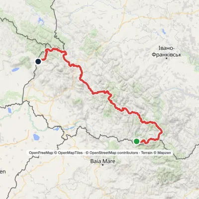 HardMulti-dayMarkedTranscarpathian Tourist TrailElevation profile202–2 061 m393.2 kmascent 17 790 m
 HardMulti-daySlavske village to Lake Synevyrvia the Bukovets PassElevation profile587–1 306 m53.8 kmascent 1 585 m
 EasyOne-dayMarkedBilasovytsia village Mount PikuiElevation profile594–1 408 m4.5 kmascent 814 m≈ 3 h walking
Craft nearby
All craft places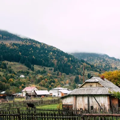 Cheese dairies & pasturesBilasovytsi Cheese Dairy, BilasovytsiaBilasovytsia24 km from the trailBilasovytsi Cheese Dairy is a small family dairy in the Transcarpathian village of Bilasovytsia, set at about 600 metres above sea level at the foot of Mount Pikui.
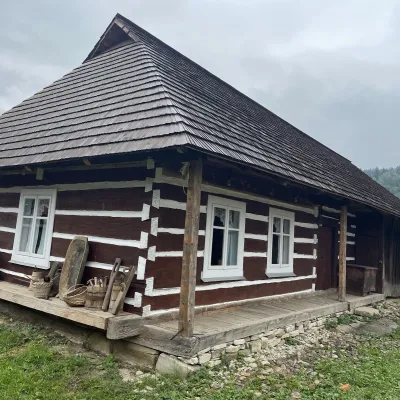 Ethno parks & homesteadsNanashkova Khata Ethno-Sadyba, Lopushanka-KhomynaStrilky32 km from the trailNanashkova Khata ethno-homestead is a restored Boyko house built in 1930 in the village of Lopushanka-Khomyna, Sambir district, in a quiet mountain valley of the Lviv...
 Eco farmsCsiga-Biga “Merry Stable” Farm, Velykyi BereznyiVelykyi Bereznyi37 km from the trailVesela Stainia Csiga-Biga (“The Merry Stable”) is a small family farm in the town of Velykyi Bereznyi in the Uzh valley.
 Cheese dairies & pasturesTurianskyi Dvir Estate Cheese Dairy, Turia PolianaTurya Polyana38 km from the trailTurianskyi Dvir is a private country estate on the shore of a mountain lake in the village of Turia Poliana in the Perechyn area, about 50 kilometres from Uzhhorod.
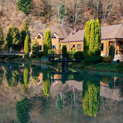 Koliby & Hutsul cuisineZolota Forel restaurant, KorostivKorostiv38 km from the trailZolota Forel (“Golden Trout”) is a restaurant and hotel complex in the village of Korostiv near Skole, right beside the Kyiv–Chop highway.
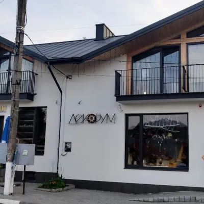 Craft shopsDecorum Art Shop, SkhidnytsiaSkhidnytsia40 km from the trailDecorum is a small art shop in the very heart of Skhidnytsia, on Zolota Bania Street close to the central pump rooms and the resort's promenade.
