Abranka village — Yabluniv, via Mount Bozova
Trail map
Route, springs and shelters: © OpenStreetMap contributors (ODbL) · elevation: Copernicus DEM © DLR e.V., © Airbus DS · Data & licences
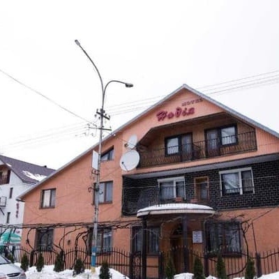
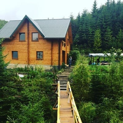
Where to stay nearby

About the trail
Route Abranka village – Mount Bozova – Yabluniv. Has blue marking (regional route, cz:KČT). Waymarking data: OpenStreetMap (© OpenStreetMap contributors, ODbL).
Officially marked regional tourist route. The marking is blue, the sign is a horizontal stripe on a white background. Marked and maintained by: cz:KČT. The length of the route is 9.1 km. Location: mountain range – Polonynskyi Ridge, Zakarpattia region.
At a glance
A one-day route of 9.1 km with 793 m of ascent from Abranka village to Yabluniv. Estimated walking time: about 3.5 h, not counting stops. Difficulty: moderate. Waymarking: blue.
Route stages
- 0–1.5 kmClimb of 330 m (up to 709 m)
- 1.5–2.5 kmGentle ups and downs at 660–720 m
- 2.5–4.5 kmClimb of 390 m to Bozeva Mountain (1,095 m)
- 4.5–9 kmDescent of 610 m to Yabluniv
Steepest kilometre: km 0.5–1.5, a climb of 250 m (≈25%).
Water and overnight stays
A spring near the trail: at km 5. Some springs run low or dry up in late summer.
Places to stay near the start: Zhdenievo; near the finish: Volovets.
When to go
Best time: May to October. In winter deep snow is possible, so experience and winter gear are needed.
Getting there
Start: Abranka village. Most places to stay near the start are in Zhdenievo. This is a one-way route: the finish is 7 km from the start in a straight line, so plan your way back in advance.
FAQ
- How long does the route take?
- Estimated walking time: about 3.5 h, not counting stops.
- Is there water on the route?
- A spring near the trail: at km 5. Some springs run low or dry up in late summer.
- Where can I stay overnight?
- Places to stay near the start: Zhdenievo; near the finish: Volovets.
Water and shelter on the route
- Spring below Mount Bozevakm 5.2 from the start · 210 m off the path · Dried up · 939 m
Before you go, check the border-regime restrictions: Border Guard permit for mountain hikes (in Ukrainian)
Comments
Trails nearby
All trails ModerateOne-dayVolovets loopvia Mount BozevaElevation profile445–1 083 m17.1 kmascent 683 m≈ 5.5 h walking
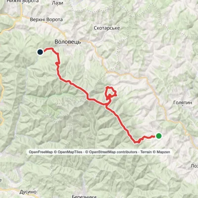 HardMulti-dayRychka village to Volovetsvia Mount Zhyd-Mahura, Mount Hemba +2Elevation profile450–1 598 m40.3 kmascent 2 201 m
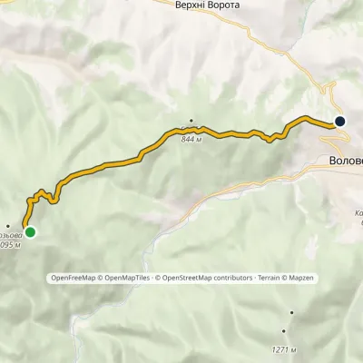 EasyOne-dayMarkedMount Bozova MenchulElevation profile611–1 011 m9 kmascent 207 m≈ 2.5 h walking
Craft nearby
All craft places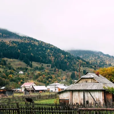 Cheese dairies & pasturesBilasovytsi Cheese Dairy, BilasovytsiaBilasovytsia12 km from the trailBilasovytsi Cheese Dairy is a small family dairy in the Transcarpathian village of Bilasovytsia, set at about 600 metres above sea level at the foot of Mount Pikui.
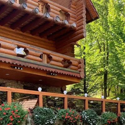 Koliby & Hutsul cuisineKoliba “Nad Potokom”, PolianaPolyana15 km from the trailKoliba nad Potokom (“Kolyba above the Stream”) is a wooden kolyba restaurant in the spa village of Poliana near Svaliava in Zakarpattia, on Dyskovetska Street, which...
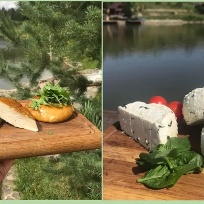 Cheese dairies & pasturesTurianskyi Dvir Estate Cheese Dairy, Turia PolianaTurya Polyana18 km from the trailTurianskyi Dvir is a private country estate on the shore of a mountain lake in the village of Turia Poliana in the Perechyn area, about 50 kilometres from Uzhhorod.
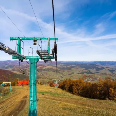 Adventures & attractionsPylypets Sky & Bike Park: chairlift and bike park, PylypetsPylypets19 km from the trailPylypets Sky & Bike Park is a chairlift and bike park in the Zakarpattia village of Pylypets, one of the region’s best-loved ski resorts.
 Craft producersAleks mineral waters, SvaliavaSvalyava19 km from the trailAleks is a Svaliava mineral-water producer founded in 1995. It was one of the first companies in Ukraine to bottle natural mineral waters in PET bottles, and today it...
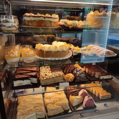 Craft producersMirella confectionery, SvaliavaSvalyava21 km from the trailMirella is a café-patisserie in Svaliava founded by pastry chef Myroslava Holonych. It bakes signature cakes and pastries, traditional Transcarpathian baking, crackers...
