Vânătarea lui Buteanu
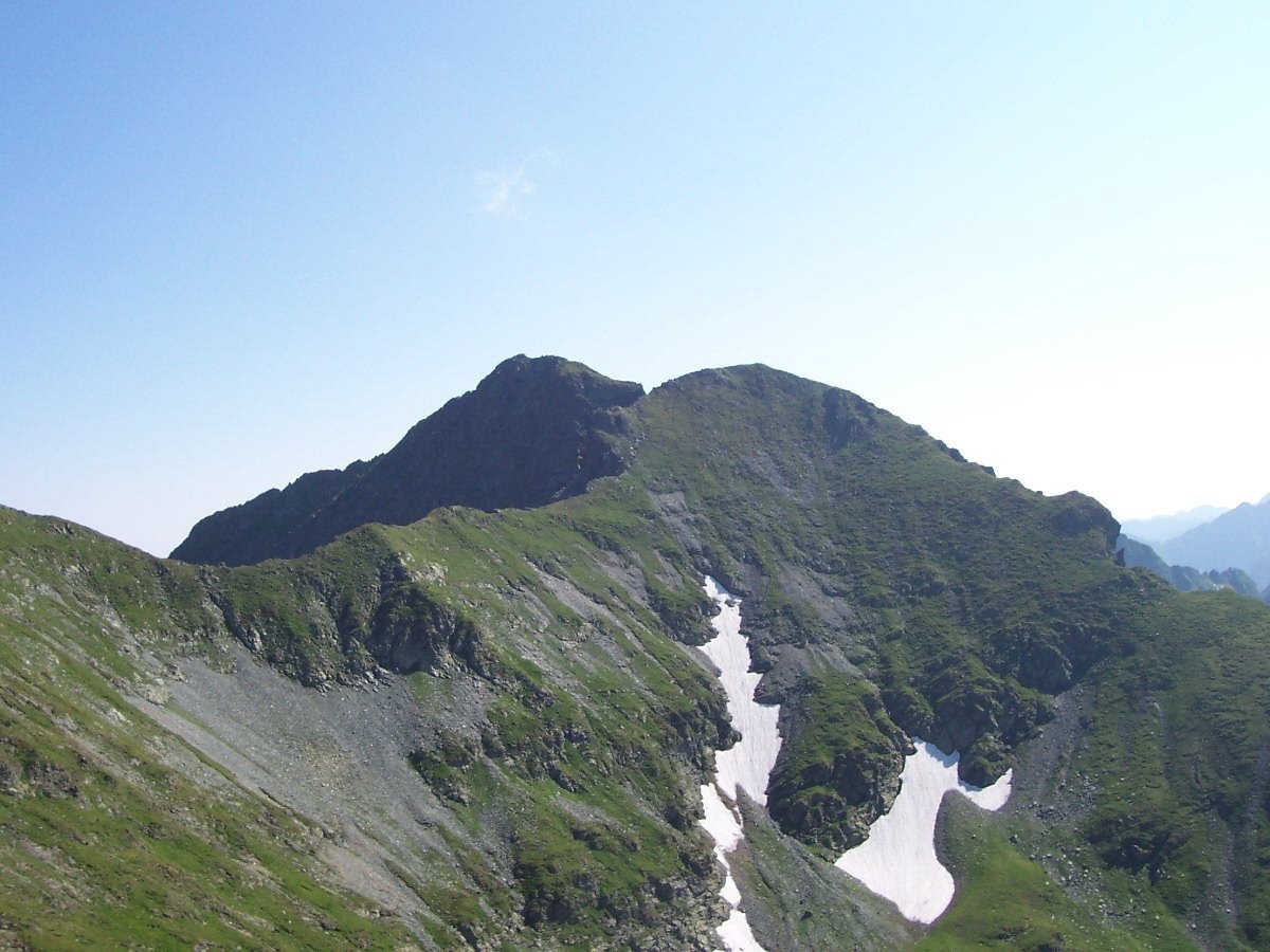
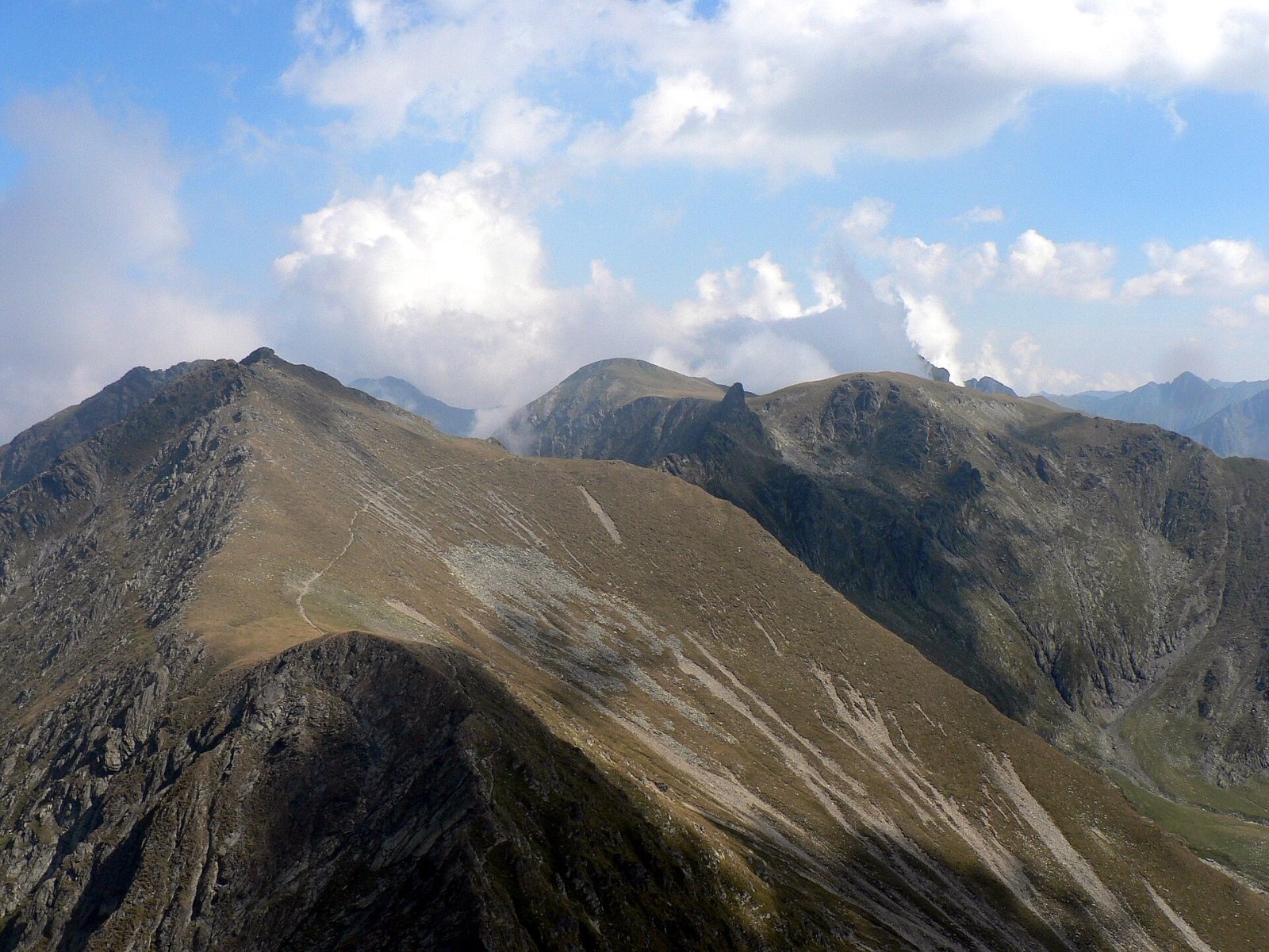
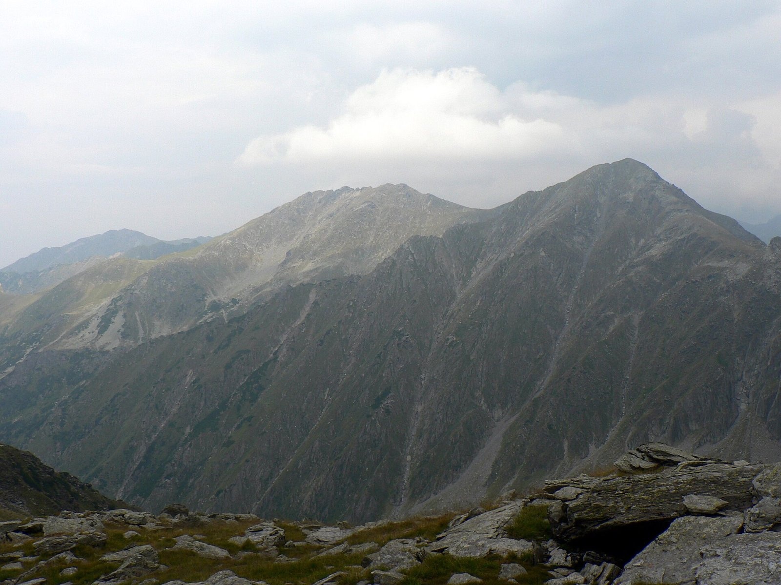
Vânătarea lui Buteanu (Romanian: Vârful Vânătarea lui Buteanu, often also Vânătoarea lui Buteanu) is a 2,507 m summit in the Făgăraș Mountains of the Southern Carpathians. According to Romanian and English Wikipedia, it is the eighth-highest mountain in Romania; among the Făgăraș peaks only Moldoveanu, Negoiu, Viștea Mare and Lespezi are higher. The summit lies on the border of Sibiu and Argeș counties, about a kilometre east of the glacial Lake Bâlea and half a kilometre from Lake Capra. The nearest villages, Cârțișoara and Arpașu de Sus, are more than 14 km to the north in the Făgăraș Depression.
Hungarian Wikipedia points out the peak's unusual position: it is the only Făgăraș mountain above 2,500 m that stands not on the main ridge but slightly north of it, on a short spur. The ridge route therefore does not cross it — the summit is reached by a separate branch.
How to get there / routes
Vânătarea lui Buteanu is considered one of the easiest Romanian peaks above 2,500 m to climb. The main reason is the high starting point: in summer Lake Bâlea (about 2,035 m) can be reached by car on the Transfăgărășan road, and in winter, according to English Wikipedia, by cable car. From the lake the summit is about 1.5–2 hours' walk.
The path from Lake Bâlea climbs to the main ridge at the Capra saddle (Șaua Caprei) above the lake of the same name. From there the blue cross route leads via the Văiuga saddle (Șaua Văiuga) straight to the summit; a blue dot path from the Văiuga cirque also reaches that saddle. Most people return the same way.
What you can see from the summit
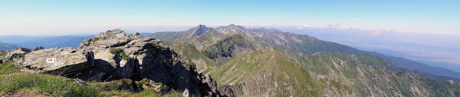
According to the description of a summit photo on Wikimedia Commons, the peak offers a wide panorama of the Făgăraș Mountains. Below lie the cirques with lakes Bâlea, Capra and Căprița, to the west the ridge runs towards Negoiu, to the east rises the Moldoveanu massif, and to the north the mountains fall steeply to the Făgăraș Depression.
Nature and history
The summit rises above glacial cirques — hollows carved by Pleistocene glaciers; the largest of their lakes, Bâlea, is according to Hungarian Wikipedia the largest glacial lake of the Făgăraș. The slopes are covered by scree and alpine meadows.
Romanian Wikipedia explains that the correct name is Vânătarea, and that the form «Vânătoarea» («the hunt») spread out of ignorance only after 1954. The old word «vânătare» meant a distant, bluish rocky height; another explanation says it described stony pastures unsuitable for shepherds. Hungarian Wikipedia gives an even older form of the name, Vânătaia lui Buteanu — «Buteanu's blue height».
Safety, season and rules
Although Vânătarea lui Buteanu is considered one of Romania's easiest peaks above 2,500 m, it is still exposed high ground: thunderstorms, fog and sudden cold occur even in summer, so set out early and in settled weather. In winter the slopes above lakes Bâlea and Capra are avalanche-prone and the walk becomes winter mountaineering. The Făgăraș ridge is not a national park but the Natura 2000 site «Munții Făgăraș» (ROSCI0122) with its own regulations: stay on marked trails and take your litter with you. The high-mountain section of the Transfăgărășan road (DN7C) closes every cold season; as of November 2026 no reopening date has been announced — check CNAIR notices. In winter the high ridges carry a serious avalanche risk — follow the avalanche bulletin of Romania's National Meteorological Administration (ANM) on meteoromania.ro.
Bears are common in the Romanian Carpathians. Salvamont rescuers advise not to hike alone, to talk loudly so that an animal hears you in advance, to keep your distance and never feed wildlife, and to store food in sealed containers away from your tent; if you meet a bear, do not run and back away slowly without turning your back.
Mountain rescue: Salvamont national dispatch 0SALVAMONT = 0725 826 668 and the emergency number 112.
Interesting facts
- It is the only Făgăraș peak above 2,500 m that lies off the main ridge.
- From Lake Bâlea, reachable by car in summer, the summit is only 1.5–2 hours' walk away.
- The widespread name «Vânătoarea» («the hunt») is a mistake: originally the mountain was called Vânătarea.
Photos: Utilizator:Mitrutpopoiu, Public domain; Krzysztof Dudzik-Górnicki (User:ToSter), CC BY-SA 3.0; Krzysztof Dudzik-Górnicki (User:ToSter), CC BY-SA 3.0; Mlefter (talk), CC BY-SA 3.0 — Wikimedia Commons.
Getting there from Ukraine
Border crossings
- Porubne – Siret — road and pedestrian, 24/7
- Diakivtsi – Racovăț — road and pedestrian, 24/7 No freight traffic.
- Krasnoilsk – Vicovu de Sus — road and pedestrian, 08:00–20:00 Cars up to 3.5 t and pedestrians only; not 24/7.
- Solotvyno – Sighetu Marmației — road and pedestrian, 24/7 Passenger traffic only: vehicles up to 3.5 t with up to 9 seats, pedestrians.
- Diakove – Halmeu — road, 24/7 No pedestrian crossing.
By car
Rakhiv – Sibiu ≈390 km, ≈5 h 33 min (via Solotvyno – Sighetu Marmației); Ivano-Frankivsk – Sibiu ≈524 km, ≈7 h 52 min (via Solotvyno – Sighetu Marmației); Chernivtsi – Sibiu ≈435 km, ≈8 h 00 min (via Diakivtsi – Racovăț). Times without border queues, our road routing (GraphHopper, OSM).
Checked 03.11.2026; border crossing hours and timetables change — check before you travel.
Location on the map
Water and shelter nearby
- Spring below Iezerul Caprei (north-east slope)610 m · Not verified · 2 289 m
- Spring below Iezerul Caprei (east slope)670 m · Not verified · 2 240 m
- Spring «Monument comemorativ și Fântâna Carmen»1.3 km · Not verified · 1 876 m
- Spring below Turnul Vârtopel (south slope), 1 821 m1.4 km · Not verified · 1 821 m
- Spring below Iezerul Caprei (south-east slope)1.5 km · Not verified · 1 907 m
- Spring below Turnul Vârtopel (south slope), 1 785 m1.5 km · Not verified · 1 785 m
- Refuge Balea Tunnel1.5 km · Not verified · 2 045 m
- Drinking water below Piscul Bâlii1.5 km · Not verified · 2 037 m
- Salvamont Argeș Hut1.6 km · Not verified · 1 945 m
- Fereastra Zmeilor Hut, 2 050 m1.7 km · Not verified · 2 050 m
- Fereastra Zmeilor Hut, 2 047 m1.7 km · Not verified · 2 047 m
- Spring below Paltinu (south slope), 2 268 m2.3 km · Not verified · 2 268 m
Wildlife nearby
AllComments
Nearby attractions
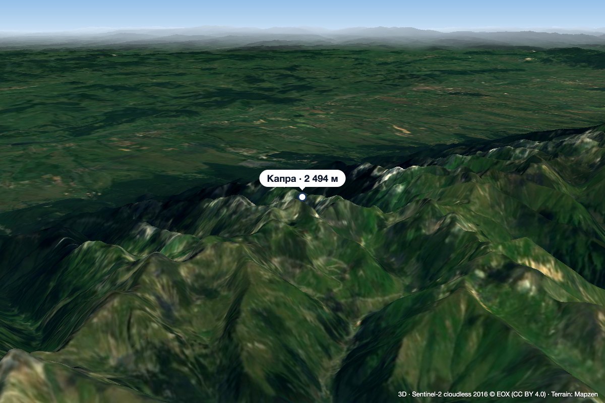 PeakCapra (Făgăraș)altitude 2 494 munder 1 km from Vânătarea lui ButeanuCapra (Romanian: Vârful Capra, Hungarian: Zerge-csúcs, «Chamois Peak») is a 2,494 m summit in the Făgăraș Mountains of the Southern Carpathians, above Lake Bâlea and...
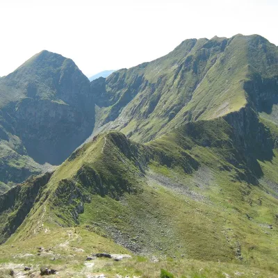 PeakArpașul Marealtitude 2 468 m3.6 km from Vânătarea lui ButeanuArpașul Mare (Romanian Vârful Arpașul Mare, also Arpașu Mare or Vârtopul) is a 2,468 m summit on the main ridge of the Făgăraș Mountains, on the border of Sibiu and...
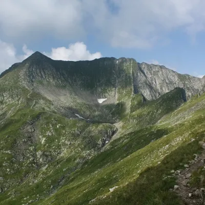 PeakMirciialtitude 2 470 m3.9 km from Vânătarea lui ButeanuMircii (Romanian Vârful Mircii) is a 2,470 m summit in the central part of the Făgăraș Mountains, in Argeș County.
