Pietrosul Rodnei
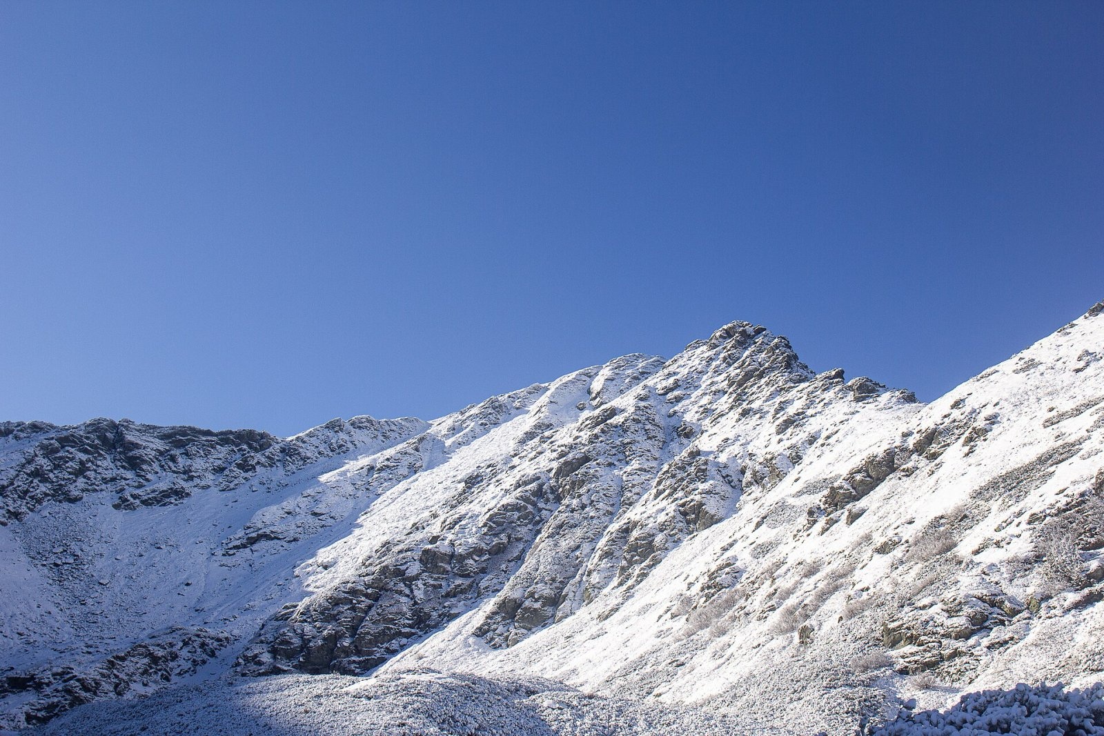
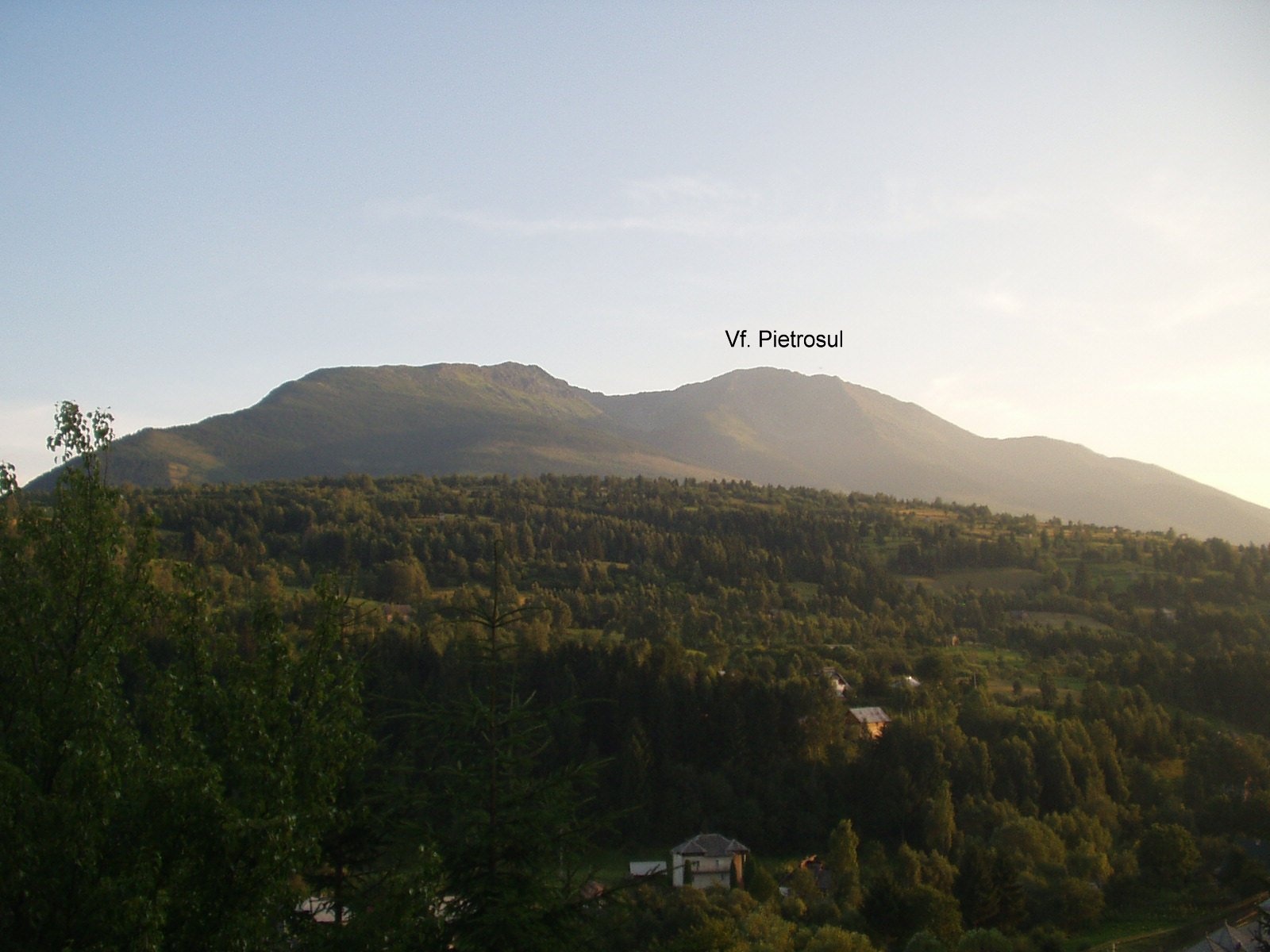
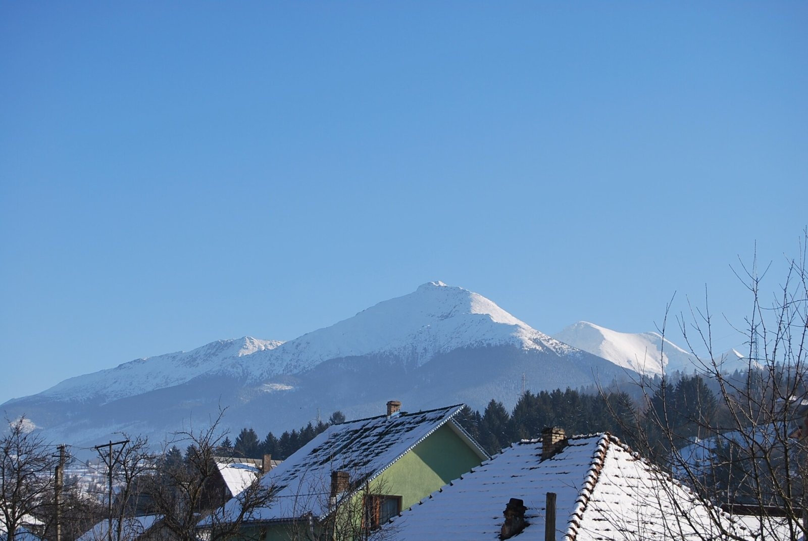
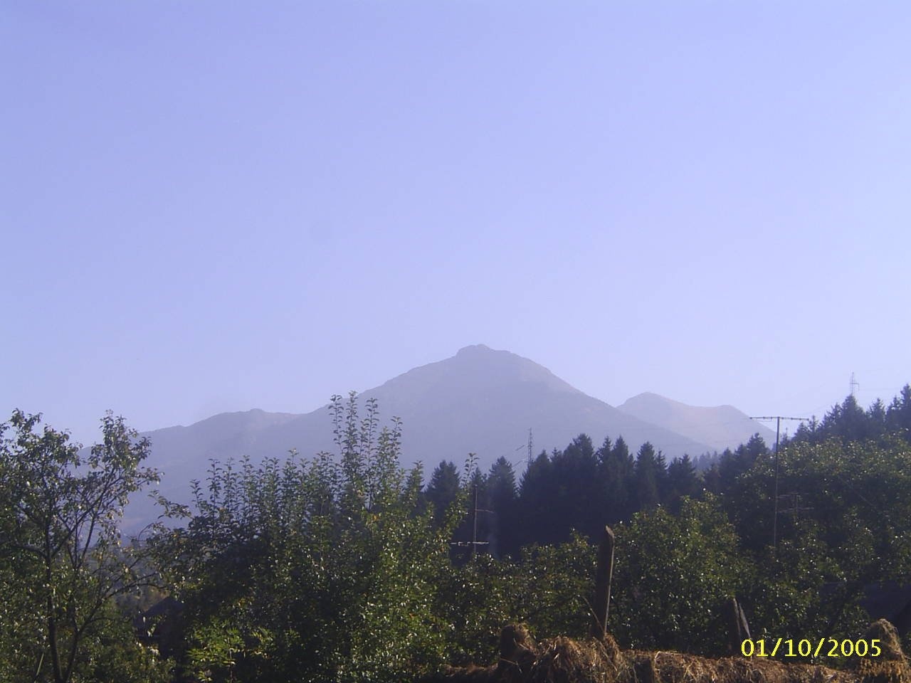
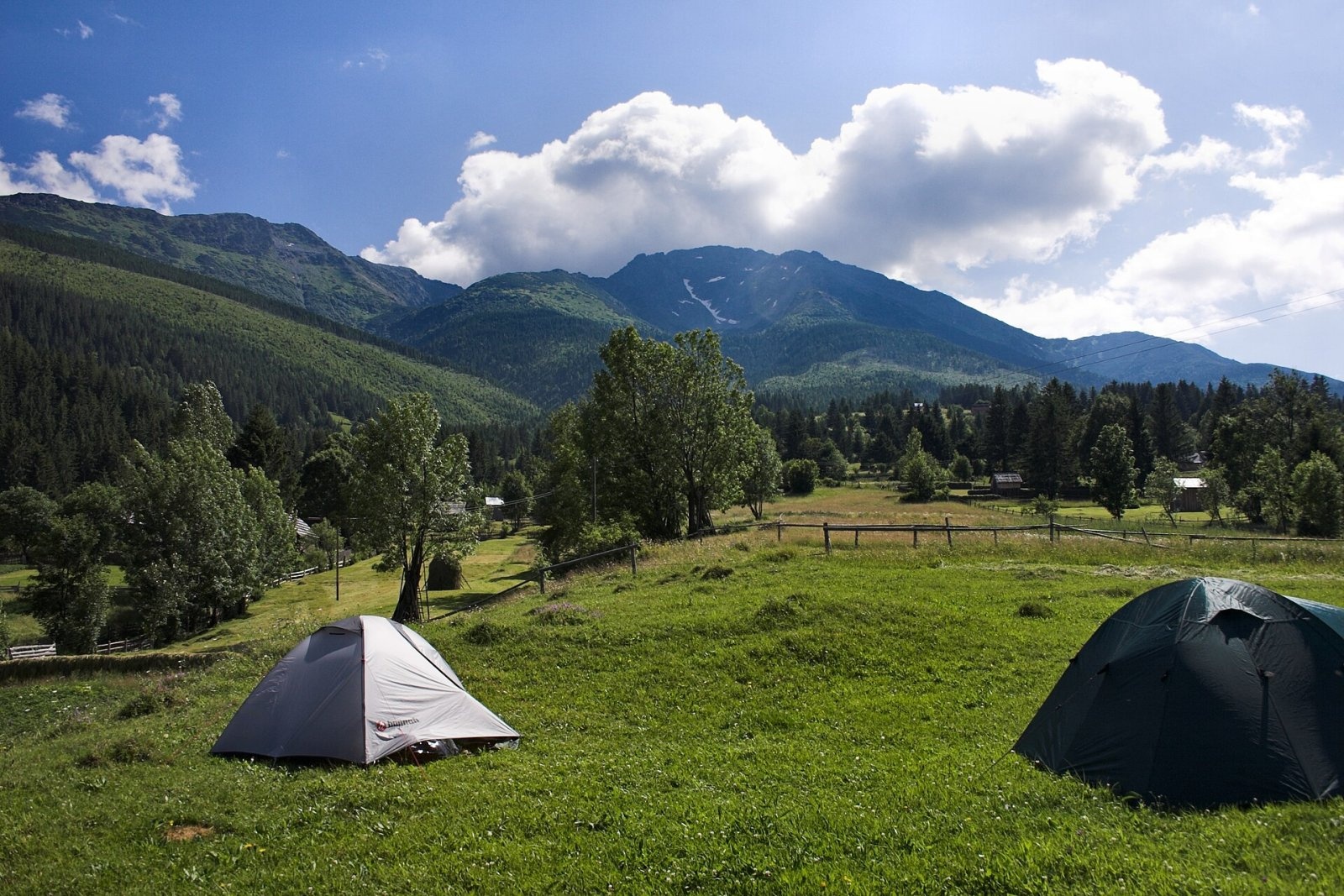
Pietrosul Rodnei (Romanian Vârful Pietrosul Rodnei, also Pietrosu) is a 2,303 m summit, the highest point of the Rodna Mountains and of the entire Eastern Carpathian chain. It stands at the north-western edge of the massif on a side ridge that branches north from Rebra (2,119 m), rising a little more than 2 km from the main crest. The summit lies on the boundary of Maramureș and Bistrița-Năsăud counties; the nearest town is Borșa (about 7 km to the north), with the village of Moisei a little further. The name comes from Romanian piatră, “stone”: pietros means “stony”.
All the slopes around the summit belong to the Pietrosul Mare scientific reserve, the core of Rodna Mountains National Park. As early as 1979 the area was added to UNESCO's network of biosphere reserves.
Getting there / routes
The classic ascent is the blue stripe from the centre of Borșa. According to the route sheet on the Muntii-nostri portal, the path crosses the Vișeu river, follows the Pietroasa valley to the fork near the hermitage and then climbs for a long time along a forest road on the Piciorul Moșului ridge. After about 2–2.5 hours you reach the Iezer weather station at the entrance to the glacial cirque; the path then passes Lake Iezer and zigzags up to the crest. Borșa to the summit takes 4–4.5 hours. The last section below the top is lined with cables — not because it is difficult, but to separate the path from the drops. The same trail continues past Buhăescu Mare, over Buhăescu Mic and Rebra to the Tarnița la Cruce saddle on the main ridge: the whole traverse is about 14.6 km and 6¼–7¾ hours. It requires good fitness: from the town to the summit you gain more than 1,800 m.
What you can see from the summit
Czech Wikipedia describes Pietrosul as a far-reaching viewpoint. Directly below lies the cirque of Lake Iezer, to the south and east runs the main Rodna crest with Rebra and Buhăescu, and to the north opens the Vișeu valley with Borșa. On the top stands the building of a former weather station; in bad weather it can serve as an emergency shelter, but it has long been derelict.
Nature and history
Around Pietrosul lies the most striking glacial relief of the Rodna range: the Buhăescu, Zănoaga Iezerului, Zănoaga Mare and Zănoaga Mică cirques, moraines and waterfalls on rock steps polished by ice. Lake Iezer lies at 1,825 m, covers about 3,450 m² and is up to 2.5 m deep; local legends call it bottomless, and from the ridge you can see that its outline resembles the map of Romania. Several tiny Buhăescu lakes lie nearby.
Four vegetation belts follow each other on the slopes: beech forest, spruce and fir, dwarf mountain pine with juniper and scattered Swiss stone pines, and alpine grassland above. In late spring and early summer the slopes turn pink with flowering rhododendron, and marmots live here. The first 183 ha around the summit were protected as early as 1932; today the reserve covers about 3,300 ha. In 1940–1945, when Northern Transylvania belonged to Hungary, the peak was called Horthy Peak — at that time the highest summit of the Hungarian state.
Safety, season and rules
- In the Pietrosul Mare reserve visitors may walk only on the marked Borșa – Pietrosu – Rebra trail; any deviation is forbidden. Throughout the park you must stay on marked trails, fires are banned in the alpine zone and in the forest, dogs must be kept on a lead, and tents may be pitched only at designated spots (including near the weather station). The current rules are published by the Rodna Mountains National Park administration.
- The best time is from late June to September. In winter the section from Lake Iezer to the summit is considered impassable; the winter variant goes over Piatra Albă. The Rodna crests are avalanche-prone: in winter the National Meteorological Administration (ANM) publishes an avalanche bulletin on meteoromania.ro with a separate rating for the Rodna massif.
- Bears are common in the Romanian Carpathians. Salvamont advises staying on the trail, not hiking alone, talking or calling out from time to time, avoiding late evening and night walks, never keeping food in your tent and never approaching cubs.
- Rescue: Salvamont national dispatch 0SALVAMONT — 0725 826 668 or the single emergency number 112. Say what happened, how many people need help and where you are, and stay within mobile coverage.
Interesting facts
- Pietrosul is the highest peak not only of the Rodna range but of the whole Eastern Carpathians.
- The Iezer weather station of the National Meteorological Administration still operates in the cirque below the summit.
- Below the summit, at about 1,000 m, the Orthodox hermitage of Pietroasa was founded in 2007.
Photos: Diószegi Zoltán, CC BY-SA 4.0; Michael Münch, Public domain; Ioan-George Ivașcu, CC BY-SA 3.0; Poesis2012, CC BY-SA 3.0; Martin Kozák, Public domain; Martin Kozák, Public domain; Martin Kozák, Public domain; The original uploader was Asterix at Romanian Wikipedia., CC BY-SA 3.0 — Wikimedia Commons.
Getting there from Ukraine
Border crossings
- Porubne – Siret — road and pedestrian, 24/7
- Diakivtsi – Racovăț — road and pedestrian, 24/7 No freight traffic.
- Krasnoilsk – Vicovu de Sus — road and pedestrian, 08:00–20:00 Cars up to 3.5 t and pedestrians only; not 24/7.
- Solotvyno – Sighetu Marmației — road and pedestrian, 24/7 Passenger traffic only: vehicles up to 3.5 t with up to 9 seats, pedestrians.
- Diakove – Halmeu — road, 24/7 No pedestrian crossing.
By car
Rakhiv – Borșa ≈116 km, ≈2 h 24 min (via Solotvyno – Sighetu Marmației); Chernivtsi – Borșa ≈179 km, ≈3 h 50 min (via Krasnoilsk – Vicovu de Sus); Uzhhorod – Borșa ≈241 km, ≈4 h 27 min (via Solotvyno – Sighetu Marmației). Times without border queues, our road routing (GraphHopper, OSM).
Checked 03.11.2026; border crossing hours and timetables change — check before you travel.
Location on the map
Water and shelter nearby
- Spring below Grohotu (north-west slope), 1 841 m820 m · Not verified · 1 841 m
- Spring below Grohotu (north-west slope), 1 826 m850 m · Not verified · 1 826 m
- Spring below Piatra Alba (north-west slope), 1 774 m1.2 km · Not verified · 1 774 m
- Spring below Piatra Alba (north-west slope), 1 614 m1.4 km · Not verified · 1 614 m
- Spring below Rebra (south-east slope)2.7 km · Not verified · 1 928 m
- Spring below Rebra (south slope)2.8 km · Not verified · 1 933 m
- Drinking water below Piatra Alba3 km · Not verified · 1 096 m
Wildlife nearby
AllComments
Nearby attractions
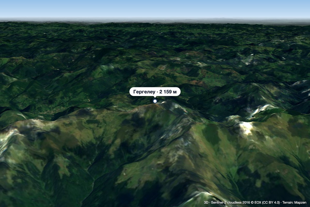 PeakGărgălăuValea Vinuluialtitude 2 159 m14 km from Pietrosul RodneiGărgălău (Romanian Vârful Gărgălău, also Gârgalău) is a 2,159 m summit in the eastern part of the Rodna Mountains, on the main ridge above the Borșa resort.
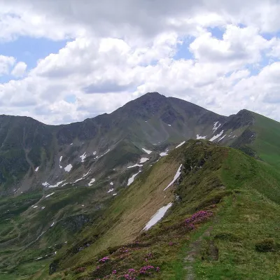 PeakIneu (Rodna Mountains)Valea Marealtitude 2 279 m20 km from Pietrosul RodneiIneu (Romanian Vârful Ineu, also Inău) is a 2,279 m summit in the Rodna Mountains, the second highest after Pietrosul (2,303 m).
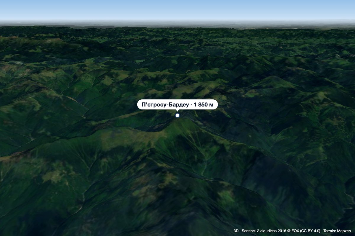 PeakPietrosu Bardăualtitude 1 850 m · Marmarosh range26 km from Pietrosul RodneiPietrosu Bardău (Romanian Vârful Pietrosu Bardău, also Pietrosul Bardăului) is a 1,850 m summit in the Romanian part of the Maramureș Mountains, in the north of...
