Hășmașul Mare
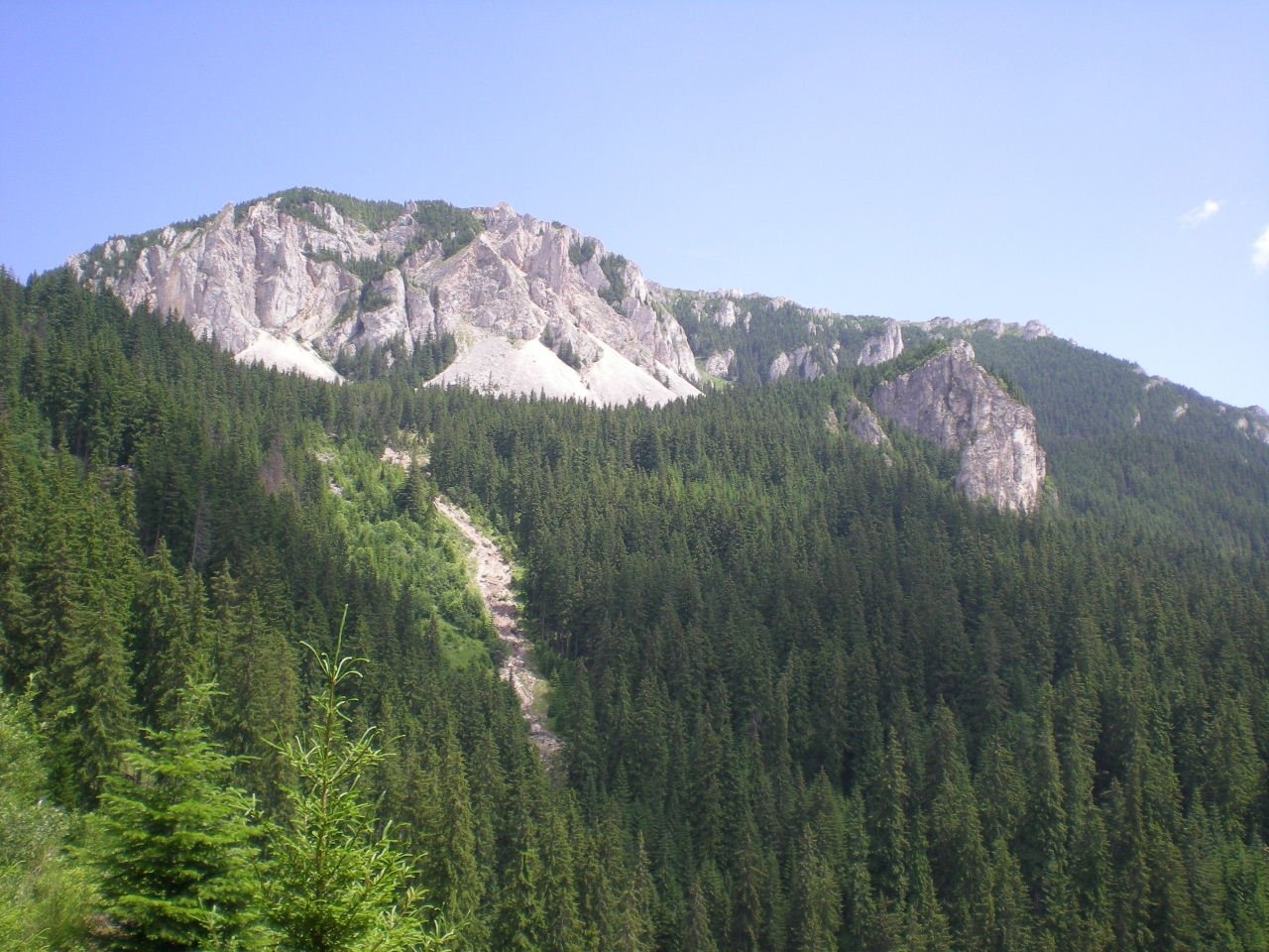
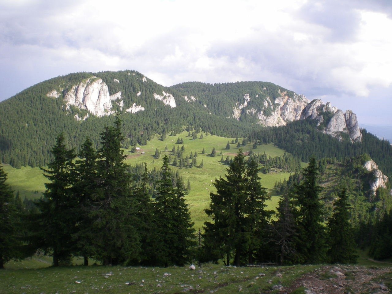
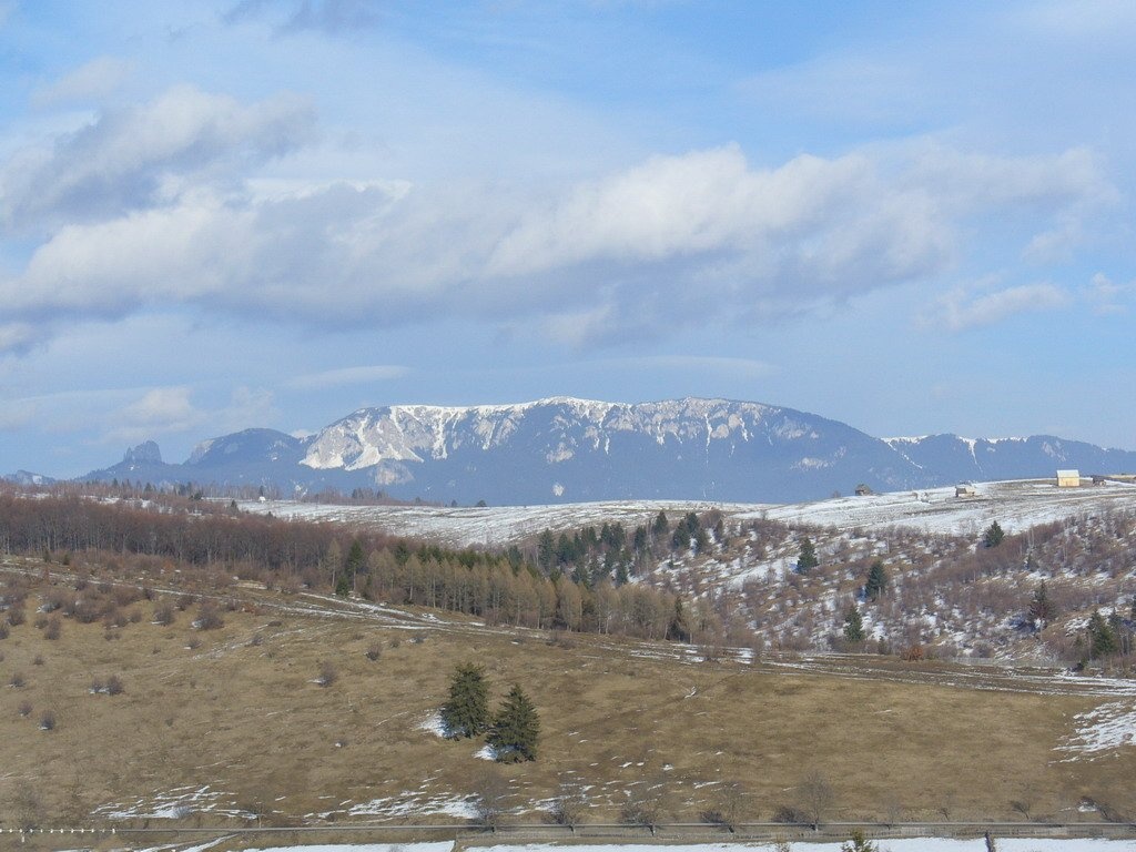
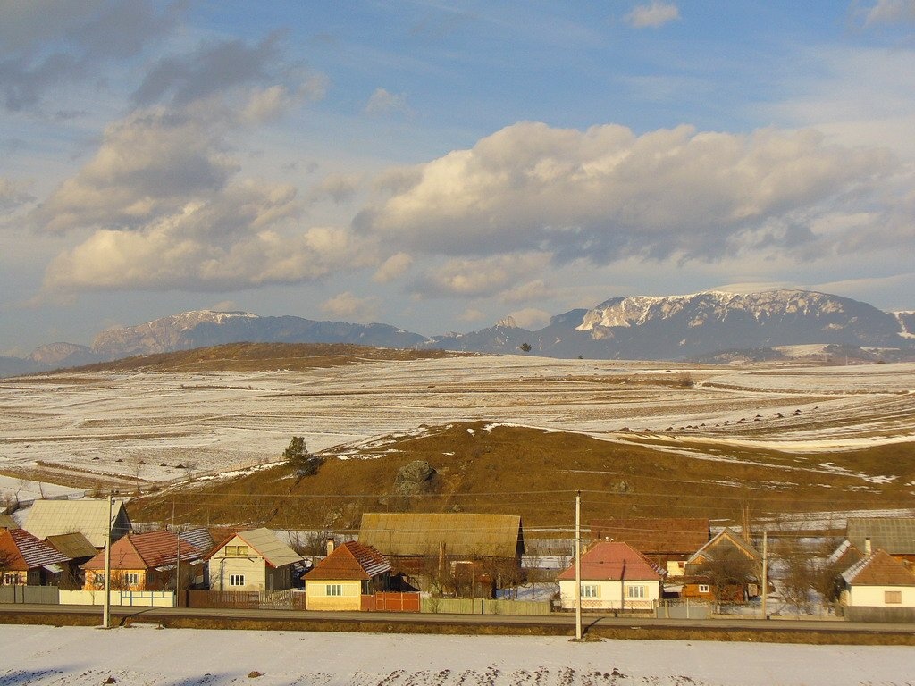
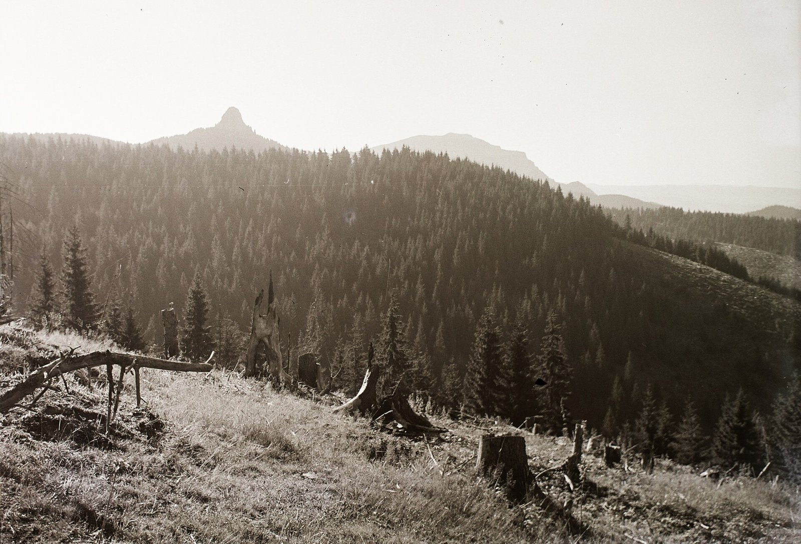
Hășmașul Mare (Romanian: Vârful Hășmașul Mare, also Hăghimașul Mare; Hungarian: Nagy-Hagymás, formerly Bárány-havas) is the highest summit of the Hășmaș Mountains in the Eastern Carpathians, 1,792 m above sea level. It lies on the border of Harghita and Neamț counties; according to Czech Wikipedia, about 6 km north of the mining town of Bălan and 15 km east of the town of Gheorgheni. The nearest settlements are the village of Trei Fântâni (4 km) and the Lacu Roșu resort by the Red Lake (10 km). The mountain is part of the Cheile Bicazului – Hășmaș National Park, and its subalpine meadows, according to Polish Wikipedia, are additionally protected as a reserve.
The 19th-century Hungarian ethnographer Balázs Orbán, describing the Székely Land, wrote admiringly that neither Switzerland nor Tyrol could show a landscape more beautiful than the surroundings of this mountain.
How to get there / routes
Hungarian Wikipedia describes three main approaches:
- From Bălan via Piatra Singuratică — on the blue stripe past Covacipeter to the Piatra Singuratică mountain hut, then on the red stripe via the Curmătura saddle to the summit.
- From Bălan via Câmpul Alb — blue stripe past the Bălan reservoir, then blue cross up the Vaș stream valley to the Câmpul Alb limestone plateau and the summit.
- From Lacu Roșu — blue stripe along the Juh and Hășmaș streams to the Câmpul Alb plateau and the summit.
According to OSM, a short red dot spur leads to the summit itself from the red-stripe ridge route.
What you can see from the summit
Czech Wikipedia calls the summit a place of far-reaching views. You see the Piatra Singuratică limestone rock («the Lonely Stone», 1,648 m) to the south-west, the Piatra Roșie and Câmpul Alb plateaus to the north, the Ciuc Depression to the west and, beyond the Bicaz valley to the north-east, the Ceahlău massif.
Nature and history
According to Hungarian Wikipedia, the massif belongs to the crystalline-Mesozoic belt of the Carpathians: in the Mesozoic thick marine, mostly calcareous sediments were deposited on old metamorphic rocks. To the north the summit adjoins the limestone plateaus of Piatra Roșie and Câmpul Alb with numerous sinkholes, to the east Trei Fântâni, to the south-west the Curmătura saddle links it with the Piatra Singuratică rock, suitable for climbing, and to the west and south-west the massif is encircled by the Olt, which rises nearby.
The ridges are covered with large spruce forests with fir, pine, larch and dwarf pine. Chamois, lynx, brown bear, capercaillie and wolf live here. Protected plants include edelweiss (Hungarian Wikipedia calls the massif the richest place for edelweiss in the country), lady's slipper, garland flower and yellow gentian.
Safety, season and rules
The summit lies in the Cheile Bicazului – Hășmaș National Park. Under the park regulation, visits are subject to a fee (children under 10 with their parents go free, pupils and students get 50% off), leaving the marked trails is strictly forbidden, tents are allowed only in designated places — such as around the Piatra Singuratică hut — and fires only in purpose-built hearths. The limestone plateaus around Hășmaș are full of sinkholes and drops — stay on the waymarks in fog. In winter the high ridges carry a serious avalanche risk — follow the avalanche bulletin of Romania's National Meteorological Administration (ANM) on meteoromania.ro.
Bears are common in the Romanian Carpathians. Salvamont rescuers advise not to hike alone, to talk loudly so that an animal hears you in advance, to keep your distance and never feed wildlife, and to store food in sealed containers away from your tent; if you meet a bear, do not run and back away slowly without turning your back.
Mountain rescue: Salvamont national dispatch 0SALVAMONT = 0725 826 668 and the emergency number 112.
Interesting facts
- The Hășmaș massif is considered Romania's richest place for edelweiss.
- The Olt and the Mureș — two of Transylvania's largest rivers — rise not far from the summit.
Photos: Joseph.valet, Public domain; Joseph.valet, Public domain; jeffwarder, CC BY-SA 3.0; jeffwarder, CC BY-SA 3.0; Fortepan, CC BY-SA 3.0 — Wikimedia Commons.
Getting there from Ukraine
Border crossings
- Porubne – Siret — road and pedestrian, 24/7
- Diakivtsi – Racovăț — road and pedestrian, 24/7 No freight traffic.
- Krasnoilsk – Vicovu de Sus — road and pedestrian, 08:00–20:00 Cars up to 3.5 t and pedestrians only; not 24/7.
- Solotvyno – Sighetu Marmației — road and pedestrian, 24/7 Passenger traffic only: vehicles up to 3.5 t with up to 9 seats, pedestrians.
- Diakove – Halmeu — road, 24/7 No pedestrian crossing.
By car
Chernivtsi – Durău ≈204 km, ≈3 h 54 min (via Diakivtsi – Racovăț); Ivano-Frankivsk – Durău ≈342 km, ≈6 h 11 min (via Diakivtsi – Racovăț); Rakhiv – Durău ≈313 km, ≈6 h 18 min (via Solotvyno – Sighetu Marmației). Times without border queues, our road routing (GraphHopper, OSM).
Checked 03.11.2026; border crossing hours and timetables change — check before you travel.
Location on the map
Water and shelter nearby
- Spring below Piatra Roșie1.2 km · Not verified · 1 486 m
- Spring below Piatra Singuratică (north slope)1.9 km · Not verified · 1 505 m
- Spring below Poiana Albă2.5 km · Not verified · 1 464 m
- Menedékház2.5 km · Not verified · 1 456 m
- Spring below Piatra Singuratică (north-west slope)2.5 km · Not verified · 1 459 m
- Poiana Albă Hut2.6 km · Not verified · 1 496 m
- Spring below La Tunzerie2.7 km · Not verified · 1 446 m
- Piatra Singuratică Hut2.7 km · Standing · 1 504 m
- Spring below Piatra Singuratică (south-west slope)2.8 km · Not verified · 1 183 m
- Spring below Piatra Singuratică (south-east slope)2.9 km · Not verified · 1 492 m
Wildlife nearby
AllComments
Nearby attractions
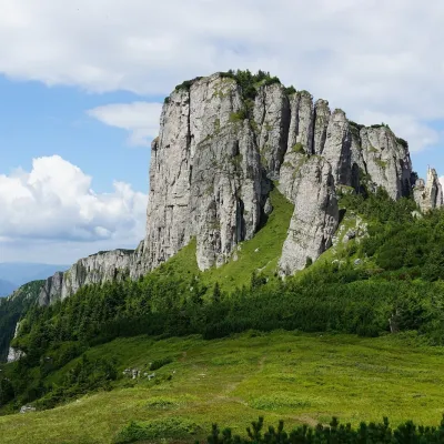 PeakOcolașul MareSecualtitude 1 907 m30 km from Hășmașul MareOcolașul Mare (Romanian: Vârful Ocolașul Mare) is the highest summit of the Ceahlău Massif in the Eastern Carpathians, 1,907 m above sea level.
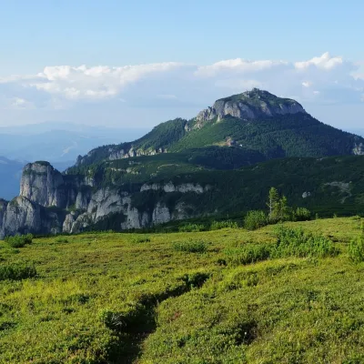 PeakToacaCeahlăualtitude 1 904 m32 km from Hășmașul MareToaca (Romanian: Vârful Toaca) is the second-highest summit of the Ceahlău Massif in the Eastern Carpathians, 1,904 m above sea level; it is only 3 m lower than...
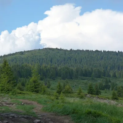 PeakHarghita-Mădărașaltitude 1 801 m33 km from Hășmașul MareHarghita-Mădăraș (Romanian Vârful Harghita-Mădăraș, Hungarian Madarasi-Hargita) is the highest summit of the Harghita Mountains, at 1,801 m (some sources give 1,800 m)...
