Harghita-Mădăraș
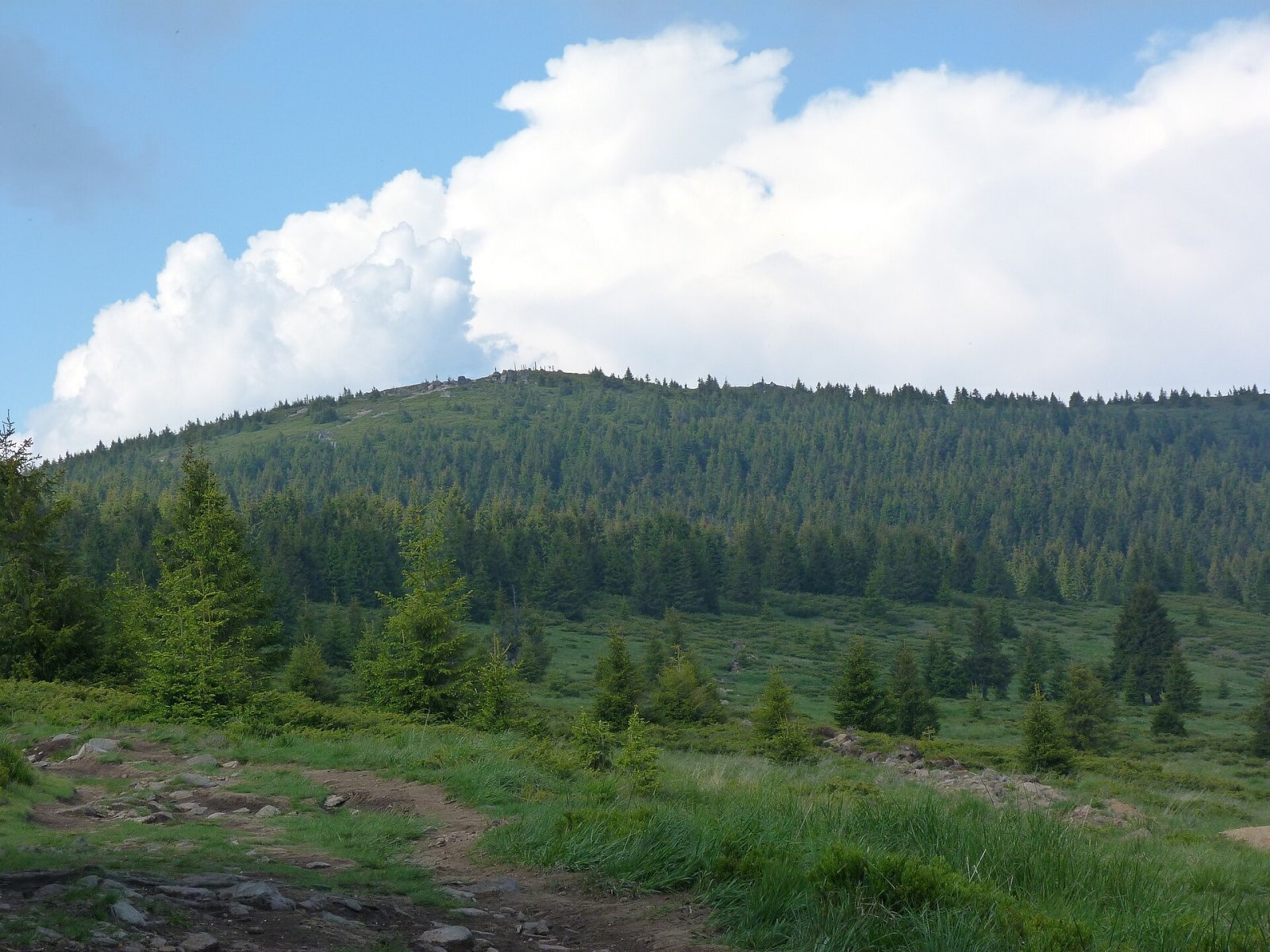
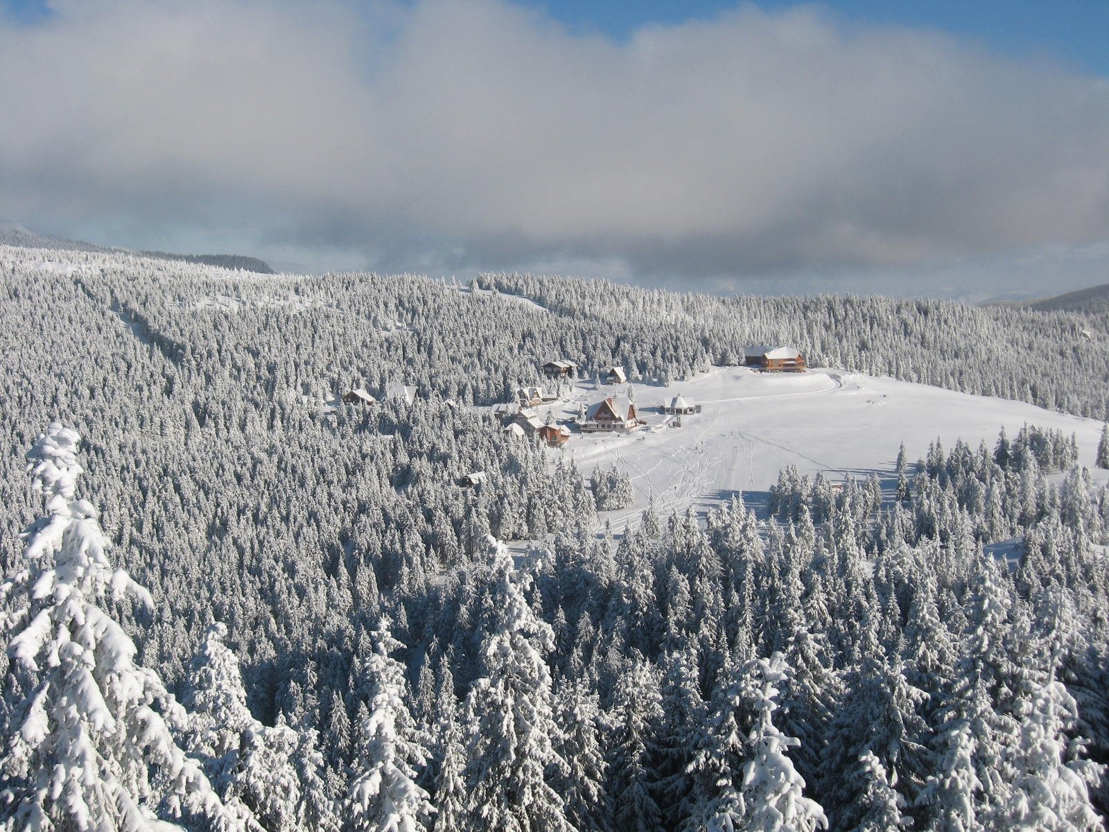
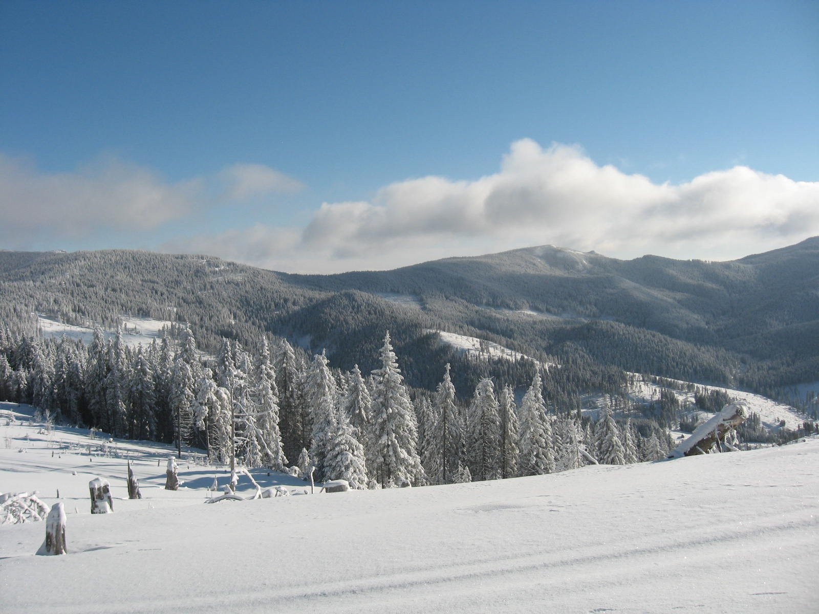
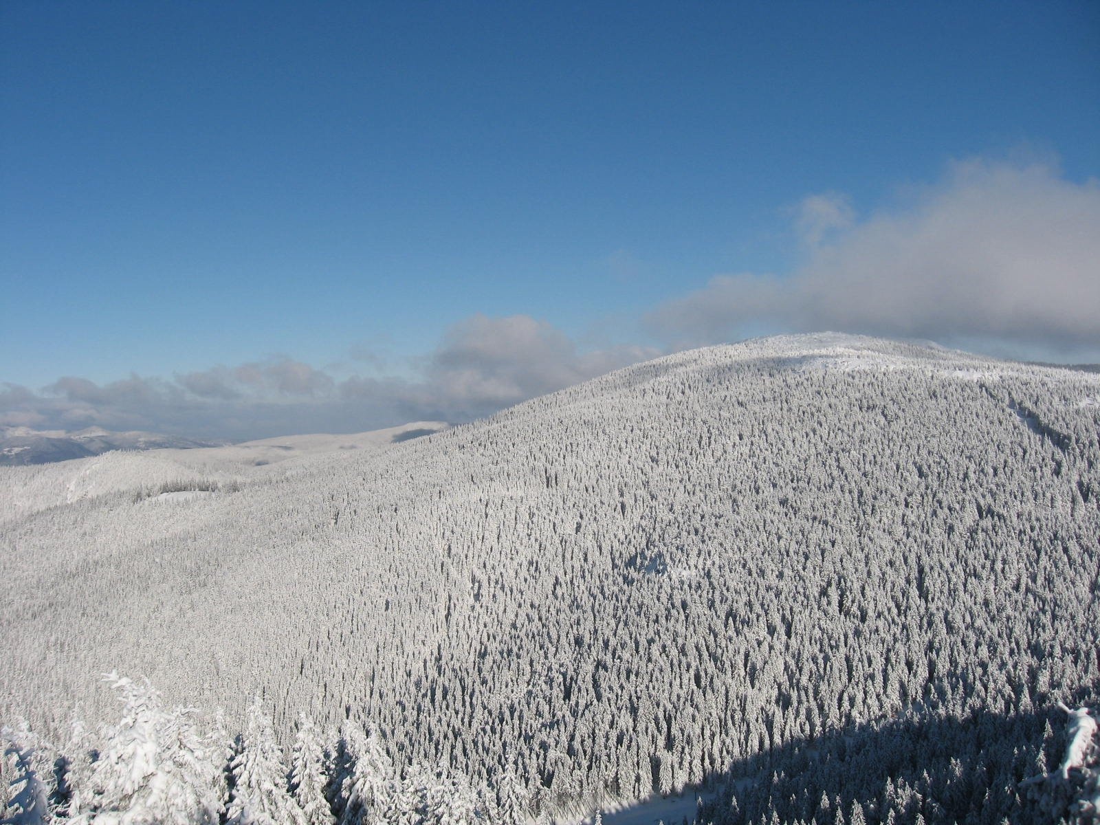
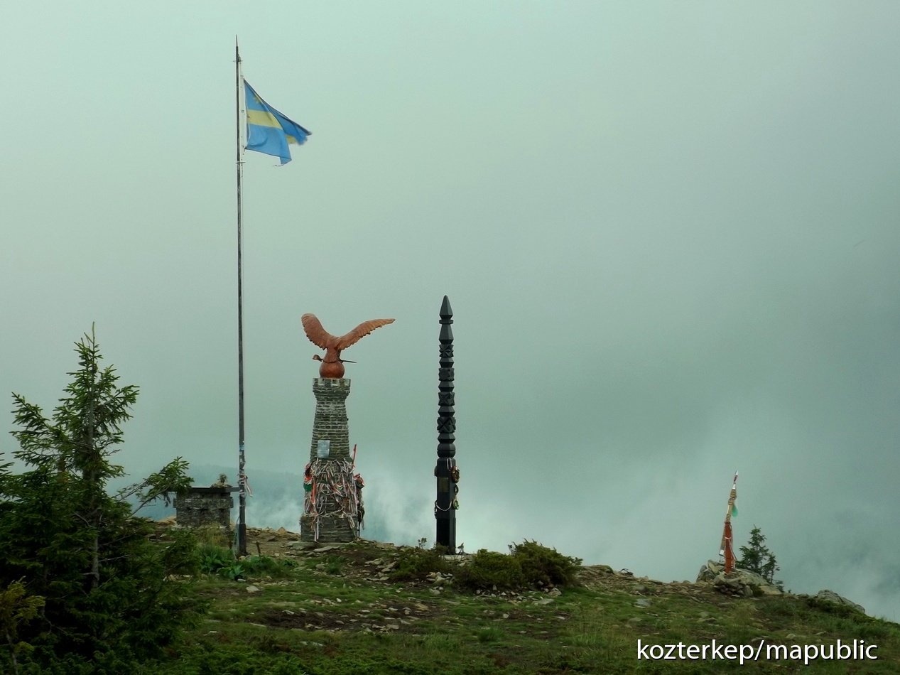
Harghita-Mădăraș (Romanian Vârful Harghita-Mădăraș, Hungarian Madarasi-Hargita) is the highest summit of the Harghita Mountains, at 1,801 m (some sources give 1,800 m), in the Inner Eastern Carpathians of Romania, in Harghita County. According to Hungarian Wikipedia, it is the highest summit of the whole of Székely Land, home of the Hungarian-speaking Székelys. The peak lies about 12 km north-north-east of the town of Vlăhița and 20 km north-west of Miercurea Ciuc; the nearest settlement is the resort village of Harghita-Băi (about 9 km). Its prominence reaches 900 m.
The Harghita Mountains are a volcanic range 70–80 km long and 20–25 km wide, part of the Călimani – Harghita chain. English Wikipedia calls it the largest andesite mass and the largest volcanic body in Europe. To the north the range is bounded by the Sicaș pass and the headwaters of the Târnava Mare, to the south by the Baraolt and Bodoc mountains, and to the east by the Ciuc depression and the Ciomadul volcanic massif.
How to get there / trails
The international long-distance route Via Carpatica Vulcanica, which follows the volcanic chain, crosses the summit. Two short spurs climb to the top from the main ridge trail marked with a blue stripe – a red triangle from the north and a blue triangle from the south – and another blue triangle leads from the Mădărașul Mic valley via the Săritor valley. According to Czech Wikipedia, the summit can be reached, among others, from the village of Izvoare or from the resort of Harghita-Băi. Hungarian Wikipedia calls Harghita-Mădăraș the most visited summit of the Harghita Mountains.
What you can see from the summit
According to Hungarian Wikipedia, the summit offers a fine view of the surrounding mountains and basins; Czech Wikipedia also describes it as a place with far-reaching views.
Nature and history
Harghita-Mădăraș is the northern remnant of the rim of a former stratovolcano crater about 5 km wide. The other peaks of this barely recognisable crater ring are Oltárkő (1,358 m), Rákosi-Hargita (1,755 m), Madéfalvi-Hargita (1,709 m) and Csicsói-Hargita (1,756 m); together they form one of the largest volcanic remnants of the Eastern Carpathians. On the southern slope rises the Vârghiș brook (Hungarian Vargyas), the longest river of the Harghita Mountains.
Old Hungarian names of the summit include Galusz-tető, Nagy-Hargita, Havas, Nagy-havas and Nagyerdő. The Székelys often call it their “holy mountain”; near the summit stands a statue of the Turul, the mythical bird of the Hungarians. On the north-western slopes there is a ski area with runs at 1,500–1,760 m where, according to Hungarian Wikipedia, a mountain rescue service is on duty around the clock.
Safety, season and rules
Snow lies long on the slopes of Harghita-Mădăraș: according to Hungarian Wikipedia, in the ski area it is reliable from mid-December to mid-April and in good years until mid-May, so in winter the ridge requires warm clothing and winter equipment. In fog, follow the waymarks. Salvamont advises checking the forecast for the next 24 hours, not hiking alone, telling your family your route and taking a map, a torch and a charged phone.
Bears are common in the Harghita Mountains. Stay on the marked paths, walk in a group and talk, do not hike in the evening or at night, keep dogs on a leash, do not leave food in or near your tent and move away at once from a bear cub. In an emergency call the national dispatch 0SALVAMONT – 0725 826 668 or 112; advice on animal encounters is on the Salvamont România website.
Photos: Derzsi Elekes Andor, CC BY-SA 3.0; Albertistvan, CC BY-SA 4.0; Albertistvan, CC BY-SA 4.0; Albertistvan, CC BY-SA 4.0; Székely Károly, CC BY-SA 4.0 — Wikimedia Commons.
Getting there from Ukraine
Border crossings
- Porubne – Siret — road and pedestrian, 24/7
- Diakivtsi – Racovăț — road and pedestrian, 24/7 No freight traffic.
- Krasnoilsk – Vicovu de Sus — road and pedestrian, 08:00–20:00 Cars up to 3.5 t and pedestrians only; not 24/7.
- Solotvyno – Sighetu Marmației — road and pedestrian, 24/7 Passenger traffic only: vehicles up to 3.5 t with up to 9 seats, pedestrians.
- Diakove – Halmeu — road, 24/7 No pedestrian crossing.
By car
Chernivtsi – Durău ≈204 km, ≈3 h 54 min (via Diakivtsi – Racovăț); Ivano-Frankivsk – Durău ≈342 km, ≈6 h 11 min (via Diakivtsi – Racovăț); Rakhiv – Durău ≈313 km, ≈6 h 18 min (via Solotvyno – Sighetu Marmației). Times without border queues, our road routing (GraphHopper, OSM).
Checked 03.11.2026; border crossing hours and timetables change — check before you travel.
Location on the map
Water and shelter nearby
- Hut below Vf. Celor Două Porți890 m · Not verified · 1 606 m
- Madaras Hut (Harghita)1.3 km · Standing · 1 620 m
- Fedeleskút Spring1.5 km · Not verified · 1 402 m
- Spring below Harghita Racoșului2.2 km · Not verified · 1 590 m
Wildlife nearby
AllComments
Nearby attractions
 PeakHășmașul MareTrei Fântânialtitude 1 792 m33 km from Harghita-MădărașHășmașul Mare (Romanian: Vârful Hășmașul Mare, also Hăghimașul Mare; Hungarian: Nagy-Hagymás, formerly Bárány-havas) is the highest summit of the Hășmaș Mountains in...
 PeakCiomadul MareLăzăreștialtitude 1 301 m43 km from Harghita-MădărașCiomadul Mare (Romanian Vârful Ciomatu Mare, Hungarian Nagy-Csomád) is the highest summit of the Ciomadul volcanic massif (Hungarian Csomád), at 1,301 m, in the...
