Roșu (Iezer-Păpușa)
Roșu (Romanian: Vârful Roșu, «the Red Peak») is the highest summit of the Iezer-Păpușa Mountains in the Southern Carpathians, 2,469 m above sea level (2,470 m on muntii-nostri.ro). It lies in Argeș County, according to Czech Wikipedia about 23 km north-west of the town of Câmpulung and 53 km south-west of Brașov. This is where the connecting ridge branches off north from the Iezer-Păpușa massif towards the main Făgăraș ridge.
How to get there / routes
From the Făgăraș main ridge. Route No. 69 with the red triangle (07MN69) links the Curmătura Brătilei saddle (2,125 m) on the Făgăraș ridge with Roșu peak. According to muntii-nostri.ro, it is 15.2 km, 6¼–7 hours, 1,144 m of ascent, medium difficulty. The path skirts Brătila (2,274 m) and Cățunu (2,206 m), with views of Piatra Craiului, crosses the Curmătura Mezei saddle and passes Mezea and Oticu before the long climb to Roșu: first through dwarf pine, then a rocky stretch covered with slabs «like in the Făgăraș, Retezat or Parâng».
From the Voina mountain hut (about 950 m) in the Târgului valley, loop route No. 76 with the red stripe crosses the Iezer peaks and the Păpușa ridge; according to muntii-nostri.ro, the waymarks are good as far as Roșu. Variant No. 77 with the blue dot climbs from Voina along the Bătrâna and Iezerul Mic valleys to the refuge and Lake Iezer and on to Crucea Ateneului on the ridge (8.7 km, 4–5 hours); from there you see Iezerul Mare peak with Roșu next to it.
What you can see from the summit
From the route below the summit, according to muntii-nostri.ro, you look into the Boarcășul valley cirque with small tarns — one of the sources of the Dâmbovița river. From the ridge you see the Făgăraș to the north, Piatra Craiului to the east, and the peaks of the Iezer-Păpușa ridge — Bătrâna, Tambura and Păpușa (2,391 m) — to the south-east.
Nature and history
The Iezer-Păpușa Mountains are a separate massif of the Southern Carpathians between the Dâmbovița and Târgului valleys, joined to the Făgăraș by a narrow ridge. Their cirques with glacial lakes, including Lake Iezer by the refuge of the same name, recall the Făgăraș high mountains; above the tree line grow dwarf pine and bilberry. The name «Roșu» means «red».
Safety, season and rules
According to muntii-nostri.ro, between Cățunu peak and the Curmătura Mezei saddle the path is faint and you can get lost in poor visibility; in winter the route requires winter mountaineering equipment. The climb up the Iezerul Mic valley to Lake Iezer is not recommended in winter — it is an avalanche corridor. In winter the high ridges carry a serious avalanche risk — follow the avalanche bulletin of Romania's National Meteorological Administration (ANM) on meteoromania.ro.
Bears are common in the Romanian Carpathians. Salvamont rescuers advise not to hike alone, to talk loudly so that an animal hears you in advance, to keep your distance and never feed wildlife, and to store food in sealed containers away from your tent; if you meet a bear, do not run and back away slowly without turning your back.
Mountain rescue: Salvamont national dispatch 0SALVAMONT = 0725 826 668 and the emergency number 112.
Interesting facts
- Roșu is the highest summit of the Iezer-Păpușa and the junction where the massif connects to the Făgăraș.
- Below the summit, in the Boarcășul cirque, rises one of the headwaters of the Dâmbovița, the river that flows through Bucharest.
Getting there from Ukraine
Border crossings
- Porubne – Siret — road and pedestrian, 24/7
- Diakivtsi – Racovăț — road and pedestrian, 24/7 No freight traffic.
- Krasnoilsk – Vicovu de Sus — road and pedestrian, 08:00–20:00 Cars up to 3.5 t and pedestrians only; not 24/7.
- Solotvyno – Sighetu Marmației — road and pedestrian, 24/7 Passenger traffic only: vehicles up to 3.5 t with up to 9 seats, pedestrians.
- Diakove – Halmeu — road, 24/7 No pedestrian crossing.
By car
Chernivtsi – Bușteni ≈426 km, ≈7 h 32 min (via Diakivtsi – Racovăț); Rakhiv – Bușteni ≈454 km, ≈8 h 01 min (via Solotvyno – Sighetu Marmației); Uzhhorod – Bușteni ≈557 km, ≈9 h 15 min (via Diakove – Halmeu). Times without border queues, our road routing (GraphHopper, OSM).
Checked 03.11.2026; border crossing hours and timetables change — check before you travel.
Water and shelter nearby
- Spring below Iezeru Mare1.5 km · Not verified · 2 188 m
- Iezer Hut, 2 125 m1.8 km · Not verified · 2 125 m
- Spring below Capul Cățunului (east slope), 2 141 m1.8 km · Not verified · 2 141 m
- Spring below Capul Cățunului (east slope), 2 154 m1.9 km · Not verified · 2 154 m
- Spring on Culmea Brătilei2.7 km · Not verified · 1 856 m
Wildlife nearby
AllComments
Nearby attractions
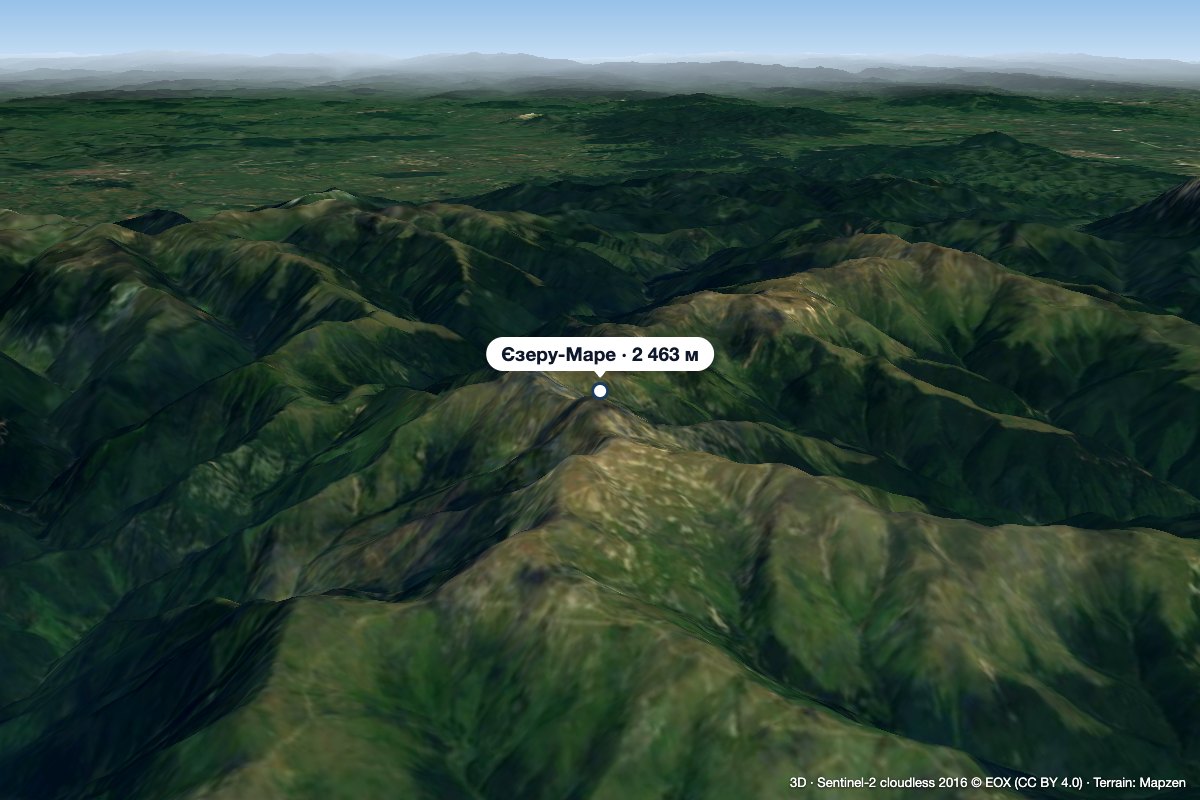 PeakIezeru Marealtitude 2 463 m1.1 km from Roșu (Iezer-Păpușa)Iezeru Mare (Romanian Vârful Iezeru Mare, also Iezerul Mare) is a 2,463 m summit in the Iezer-Păpușa Mountains, in Argeș County.
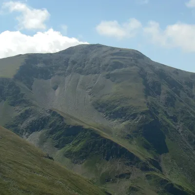 PeakDaraaltitude 2 500 m16 km from Roșu (Iezer-Păpușa)Dara (Romanian: Vârful Dara, Hungarian: Dara-csúcs) is a summit of about 2,500 m in the eastern part of the Făgăraș Mountains in the Southern Carpathians.
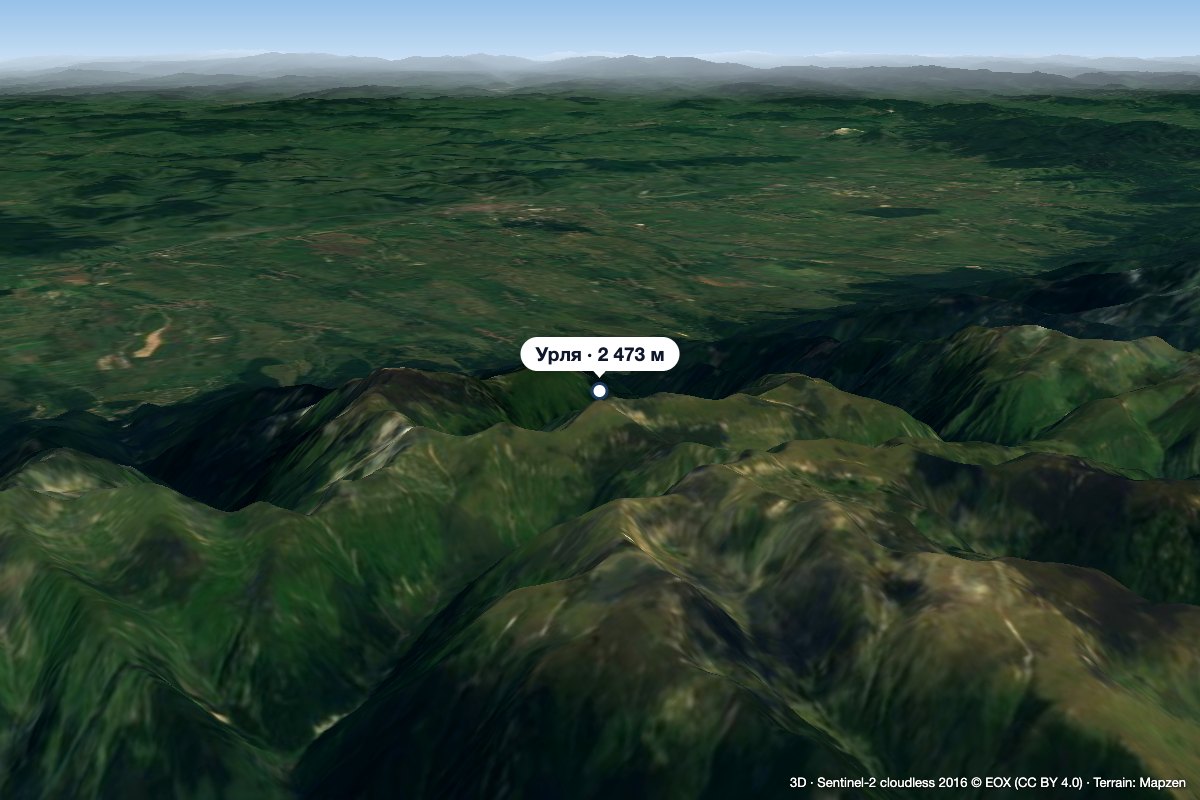 PeakUrleaStațiunea Climaterică Sâmbătaaltitude 2 473 m17 km from Roșu (Iezer-Păpușa)Urlea (Romanian Vârful Urlea) is a 2,473 m summit in the eastern part of the Făgăraș Mountains, on the border of Brașov and Argeș counties.
