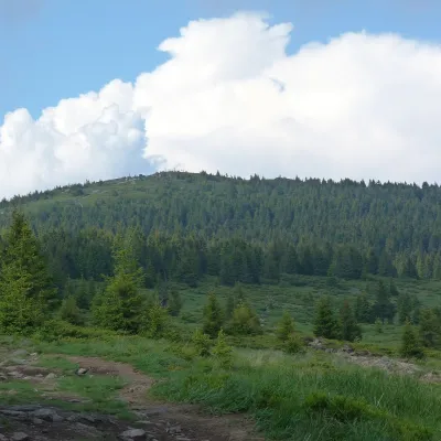
Ciomadul Mare
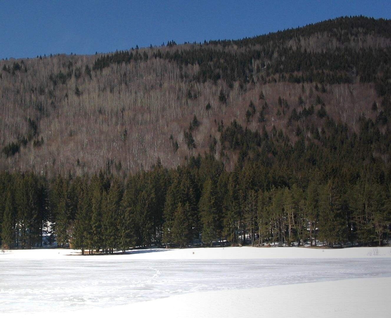
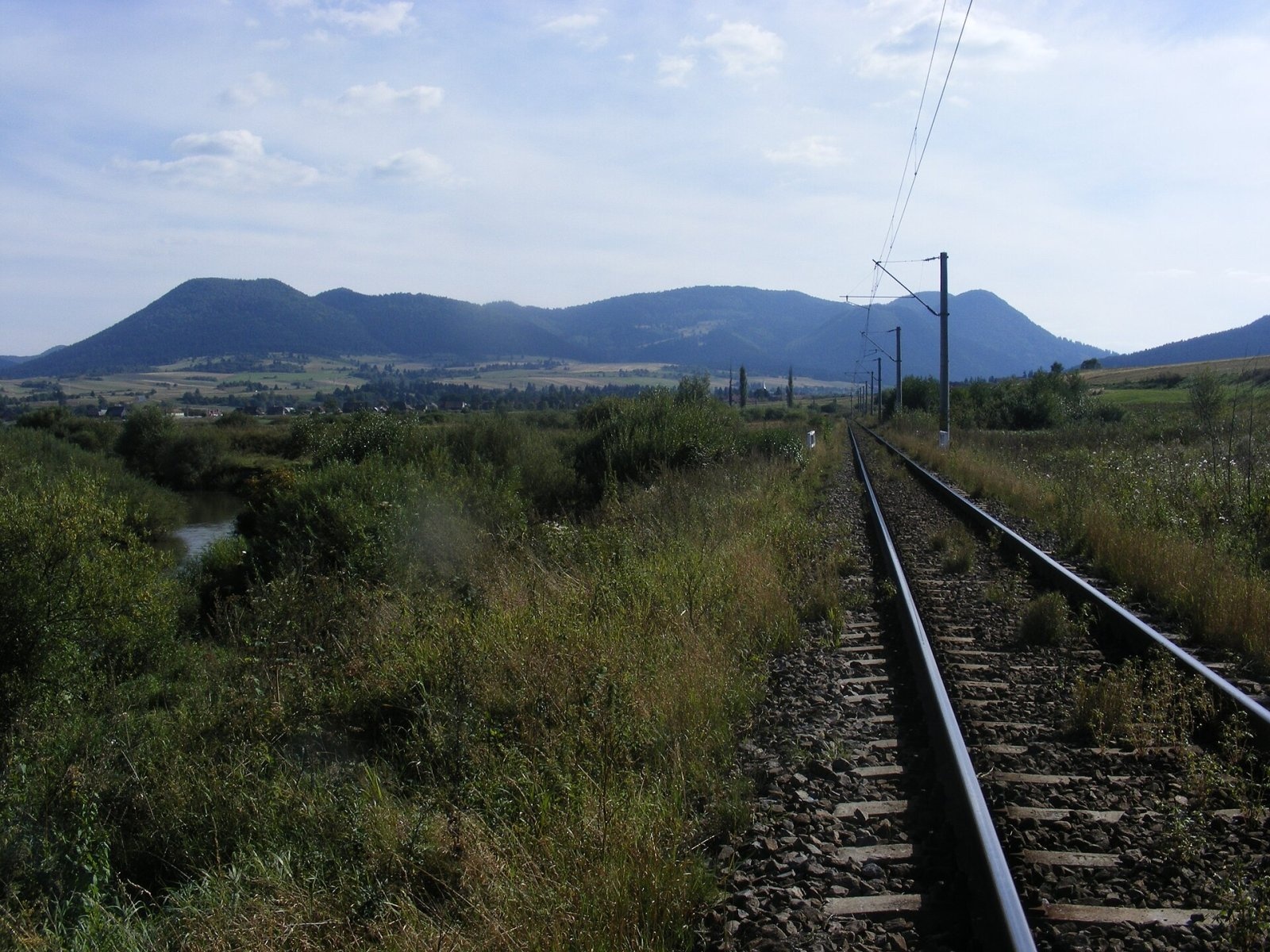
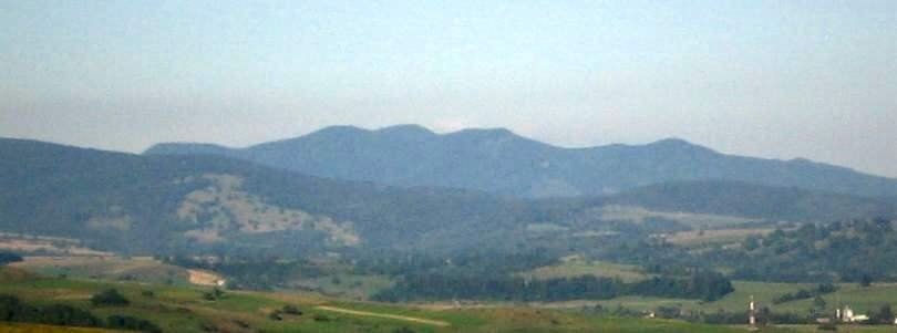
Ciomadul Mare (Romanian Vârful Ciomatu Mare, Hungarian Nagy-Csomád) is the highest summit of the Ciomadul volcanic massif (Hungarian Csomád), at 1,301 m, in the Eastern Carpathians of Romania. The massif lies in Harghita County near the border with Covasna County, between the spa town of Băile Tușnad (about 3 km) and Balvanyos; to the west flows the Olt, whose gorge separates Ciomadul from the Harghita Mountains. Ciomadul is the south-eastern end of the Călimani – Gurghiu – Harghita volcanic chain and, according to English Wikipedia, the youngest volcano of the entire Carpathian-Pannonian region.
The volcanic complex, about 80 km² in area, consists of several lava domes 300–400 m high forming a south-tilting ridge above the Lower Ciuc Basin (about 700 m). The domes include Haramul Ierbos, Haramul Mare, Haramul Mic, Vârful Cetății, Comloș and Surduc; the highest is Ciomadul Mare. Two explosion craters, Mohoș and Sfânta Ana, are set into the domes.
How to get there / trails
OpenStreetMap shows no waymarked trail over the summit itself. According to Romanian Wikipedia, Lake Sfânta Ana is linked to Băile Tușnad by hiking paths, and a road climbs the volcano from the south-east past the Mohoș bog to the lake. From the crater lake, Ciomadul Mare rises about 350 m above its western shore.
What you can see from the summit
The sources give no detailed description of the panorama. Ciomadul is noticeably higher than the surrounding Ciuc basin and looks more rugged than the neighbouring mountains; winter photos show the summit rising directly above the round crater lake.
Nature and history
Volcanic activity here began about a million years ago, and most of the volcano formed 650,000–500,000 years ago. Between 56,000 and 32,000 years ago powerful explosive eruptions took place: some may have reached sub-Plinian strength, carrying ash as far as the Black Sea. The last eruption occurred roughly 32,000–27,000 years ago. The main rock is potassium-rich dacite. Seismicity, volcanic gas emissions and, according to a 2019 study, a magma chamber with partly molten material show that the volcano is potentially active.
The Sfânta Ana crater is about 1.6 km wide and about 200 m deep; on its floor, at 946 m, lies Lake Sfânta Ana – according to Romanian Wikipedia, Romania's only volcanic lake. It is fed only by precipitation, so its water is almost as pure as distilled water; its depth is about 6–7 m. A Roman Catholic chapel of St Anne stands by the lake. The neighbouring, larger Mohoș crater (about 1.9 km across) is filled with a Sphagnum peat bog – the Tinovul Mohoș reserve with dwarf birch, sundew and bog-rosemary.
Ciomadul was first recognised as a volcano by the Saxon mineralogist Johann Ehrenwert Fichtel in 1780. Locals say you can forecast the weather by the gases from cracks in the mountain: if they “sting your nose”, bad weather is coming.
Safety, season and rules
Swimming in Lake Sfânta Ana has been banned since December 2017. The Mohoș bog may be visited only in groups, on the wooden boardwalk and with a designated guide. The lake and the bog are nature reserves, so stay on the paths and leave no litter.
Bears are common in the Ciomadul forests. Salvamont advises walking in a group and talking, not hiking in the evening or at night, keeping dogs on a leash, not leaving food in or near your tent, never approaching a bear and moving away from a bear cub. In an emergency call the national dispatch 0SALVAMONT – 0725 826 668 or 112; advice on animal encounters is on the Salvamont România website.
Photos: Lakeof, CC BY-SA 3.0; Szabi237, CC BY-SA 3.0; Lakeof, CC BY-SA 3.0 — Wikimedia Commons.
Getting there from Ukraine
Border crossings
- Porubne – Siret — road and pedestrian, 24/7
- Diakivtsi – Racovăț — road and pedestrian, 24/7 No freight traffic.
- Krasnoilsk – Vicovu de Sus — road and pedestrian, 08:00–20:00 Cars up to 3.5 t and pedestrians only; not 24/7.
- Solotvyno – Sighetu Marmației — road and pedestrian, 24/7 Passenger traffic only: vehicles up to 3.5 t with up to 9 seats, pedestrians.
- Diakove – Halmeu — road, 24/7 No pedestrian crossing.
By car
Chernivtsi – Brașov ≈395 km, ≈7 h 03 min (via Diakivtsi – Racovăț); Rakhiv – Brașov ≈419 km, ≈7 h 24 min (via Solotvyno – Sighetu Marmației); Uzhhorod – Brașov ≈522 km, ≈8 h 39 min (via Diakove – Halmeu). Times without border queues, our road routing (GraphHopper, OSM).
Checked 03.11.2026; border crossing hours and timetables change — check before you travel.
Location on the map
Water and shelter nearby
- Bugyogó Spring2.3 km · Not verified · 777 m
- Spring below Piatra Șoimilor (north-east slope)2.5 km · Not verified · 616 m
- Spring below Piatra Șoimilor (south-east slope), 697 m2.8 km · Not verified · 697 m
- Spring below Piatra Șoimilor (south-east slope), 705 m2.8 km · Not verified · 705 m
- Spring Stanescu 1bis2.9 km · Not verified · 650 m
Wildlife nearby
All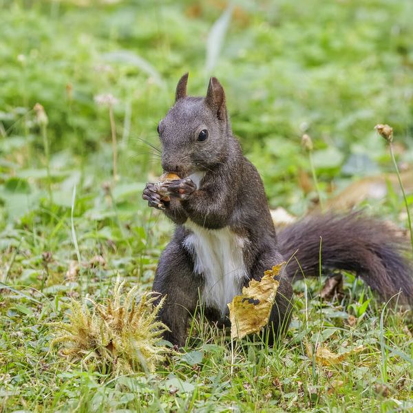
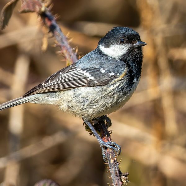
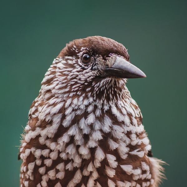
Based on naturalists’ records nearby (GBIF, iNaturalist), matched by altitude, habitat and season. Sightings are not guaranteed.