Minčol (Čergov)
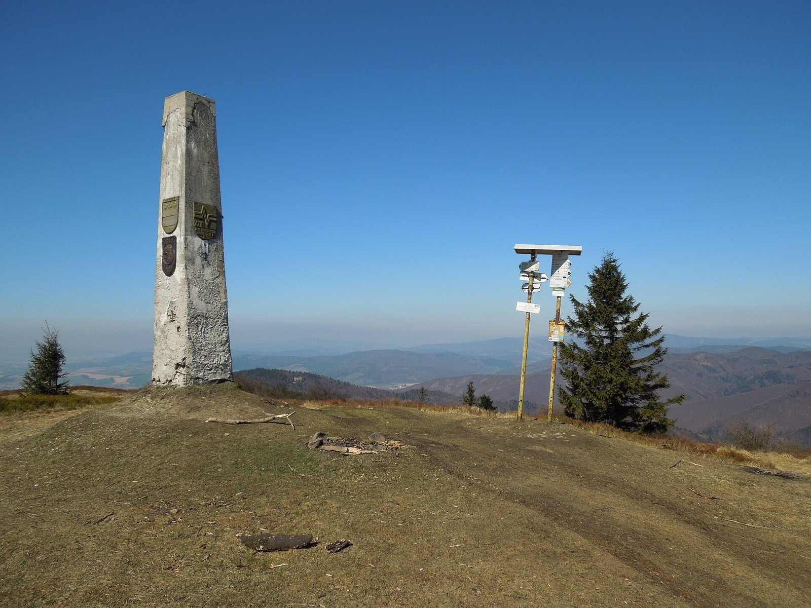
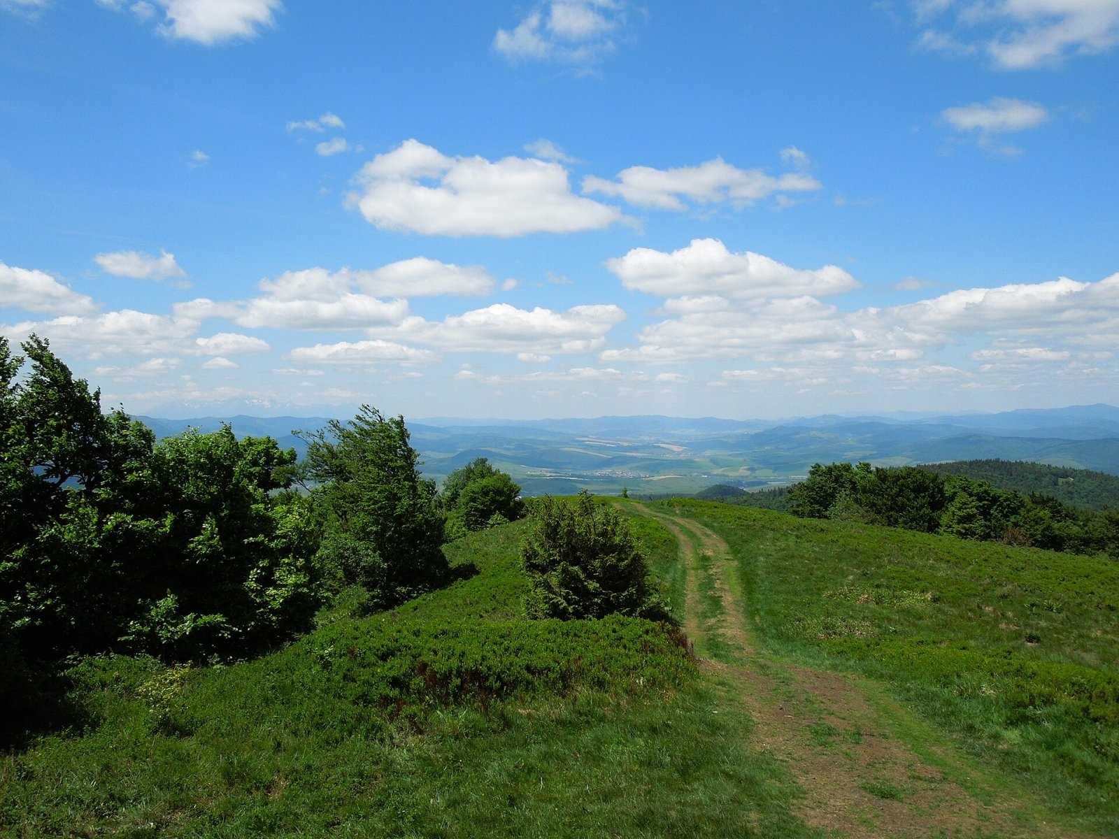
Minčol (Hungarian Mincsol) is the highest summit of the Čergov mountains in eastern Slovakia, 1157 m high. It rises in the western part of the range, where three districts of the Prešov Region meet – Bardejov, Sabinov and Stará Ľubovňa. Stará Ľubovňa is about 23 km away, Sabinov 16 km and Bardejov 22 km. The nearest villages are Livovská Huta (about 3 km), Kyjov and Potoky (4 km each) and Kamenica (5 km). Minčol's prominence is 567 m, 21st among Slovak peaks. Slovakia alone has seven mountains called Minčol.
Minčol is a knot of four ridges: south-west via Lysá hora, north-west to Minčolík, north-east to Malý Minčol, and south-east via Lazy and Hyrová to the Ždiare saddle. The main European watershed crosses the summit: streams from the northern slopes flow to the Baltic Sea, those from the southern slopes to the Black Sea. The 130 km long Topľa river rises on the eastern slope.
How to get there / routes
Marked trails reach Minčol from every side, along all four ridges. The European long-distance path E3 crosses the summit, switching here from red to blue waymarks.
- Yellow from Livovská Huta via Lazy – the shortest: 2 h up, 1 h 30 min down.
- Blue from Kyjov via Sedlo pod Minčolom – the easiest: 2 h 15 min up, 1 h 40 min down.
- Yellow from Šarišské Jastrabie via Minčolík and Sedlo pod Minčolom: 2 h 30 min up.
- Green from Čirč via Uhlisko: 2 h 45 min up; from Kamenica via Lazy: 3 h 10 min.
- Red (East Carpathian trail) from Obručné via Sedlo pod Dlhou and Malý Minčol: 3 h 45 min up.
Regional buses serve the trailhead villages; the nearest railway stations are Prešov, Sabinov, Lipany and Stará Ľubovňa.
What you can see from the top
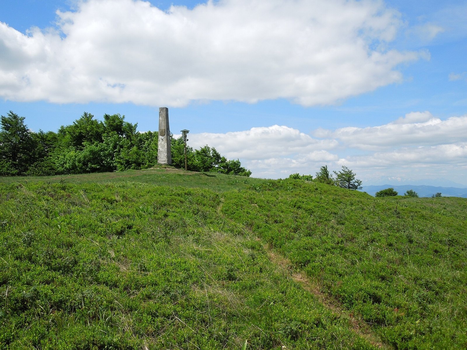
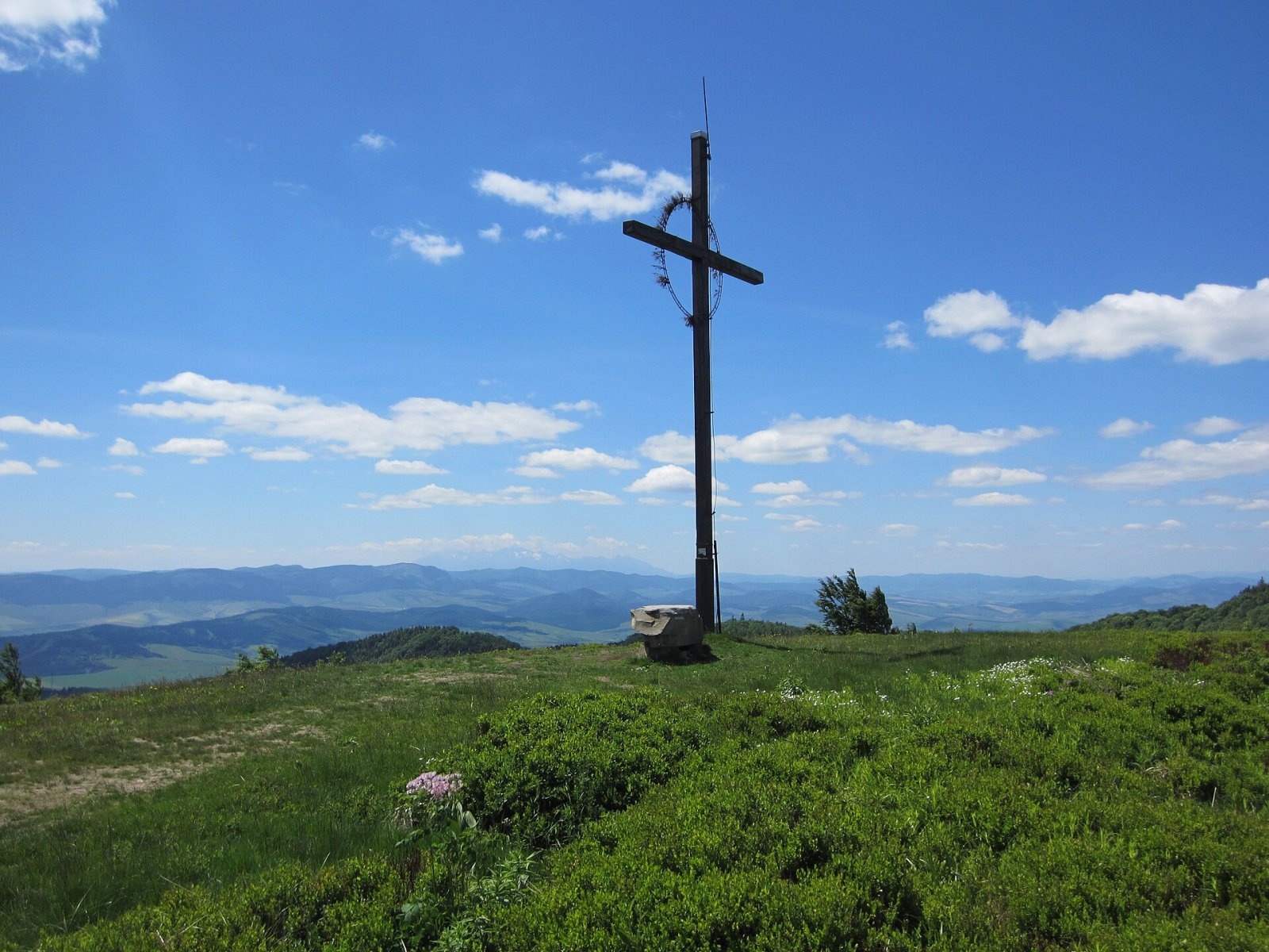
The meadow summit, covered with blueberry-rich mountain grassland, offers a superb panorama of the main and side ridges of Čergov, the Topľa valley, the Ľubovňa basin with Stará Ľubovňa and its castle, the Pieniny with the unmistakable Three Crowns, and the Polish Beskids. In good visibility you can see the High Tatras (about 55 km), the Low Tatras with Kráľova hoľa (70 km), Babia hora (112 km), Wielka Rawka in the Polish Bieszczady (116 km) and even the poloninas of the Ukrainian Carpathians more than 150 km away. Trees block the view east and south from the summit itself, so walk about 500 m south-east to the fore-summit (1132 m), which looks in every direction.
Nature and history
The summit and part of the slopes are protected by the Čergovský Minčol national nature reserve (171 ha, since 1986) with the highest, fifth degree of protection – for the forests of the highest zones and the typical Carpathian mountain flora. Its meadows hold 277 species of higher plants, 15 of them on the Slovak Red List. The mountain is also a Natura 2000 site.
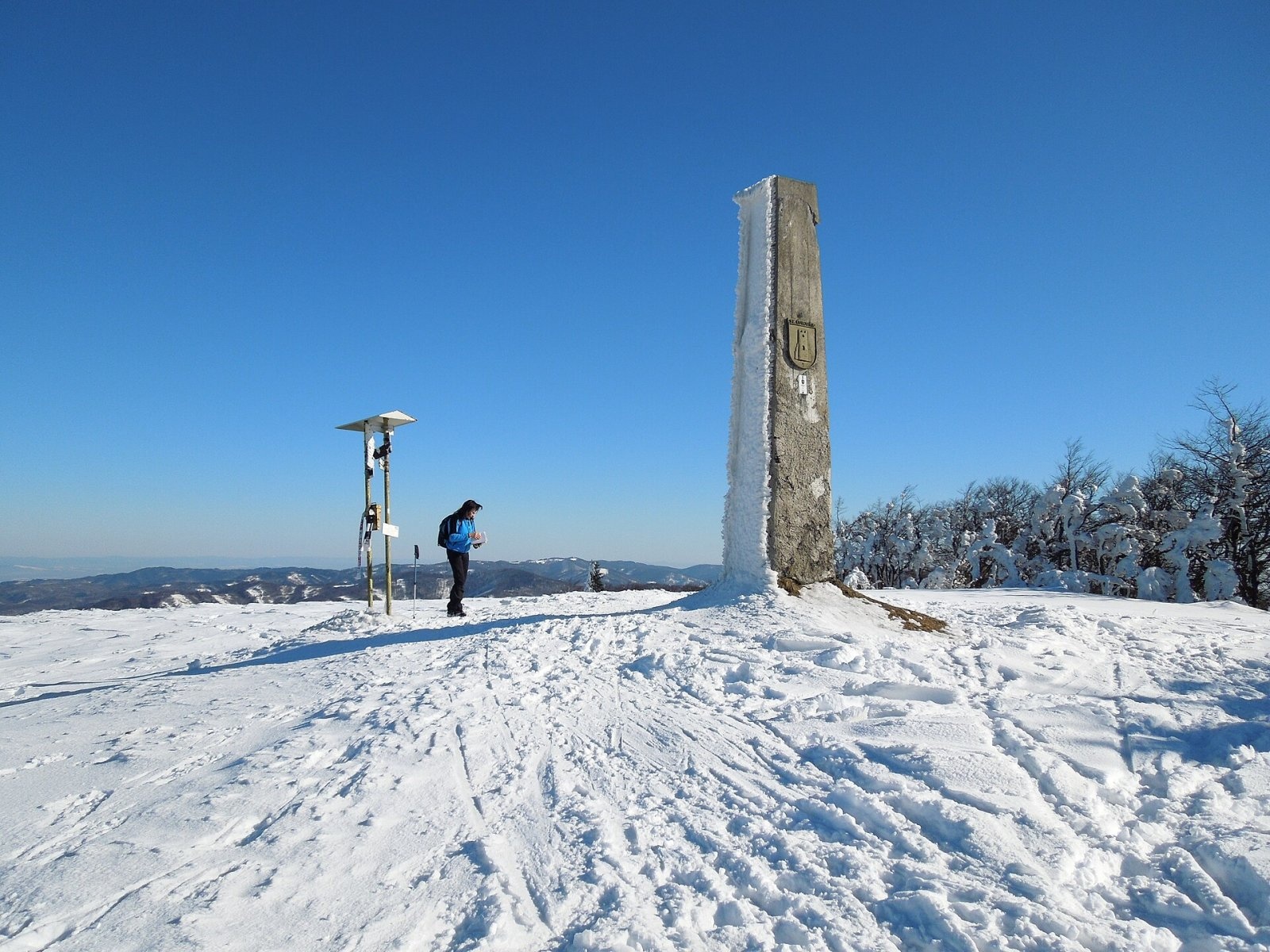
On the summit stands a massive reinforced-concrete pylon, built in 1931–1935 as one of 17 first-order triangulation points of Czechoslovakia. It also marks the district boundary: it carries the coats of arms of Bardejov, Stará Ľubovňa, Prešov and, since 2012, Sabinov, and a plaque commemorating the 1979 hikers' rally in Lipany. Next to it stands a rare double signpost with a box for the summit book. On the fore-summit a large wooden cross was erected in 1995 to honour Pope John Paul II's visit to Košice, Prešov and Levoča.
The name comes from the Vlach word "muncel" – hill, top of a mountain – and is linked to Vlach colonisation; in the Ukrainian Carpathians the same word gave dozens of names such as Menchul. In Slovak records the name appears from 1563 (Minczow), and on maps as Gr. Menschul (1771), Mincsol (1859) and Minczol (1860).
Safety, season and rules
In the reserve it is forbidden to leave the trails, light fires, camp, pick plants or disturb the peace; driving quads or off-road vehicles is a criminal offence. The summit is treeless, so storms and fog are unpleasant here; in winter the ridge is snowbound, and every February a ski traverse of Čergov passes over it. 15 min from the Lazy junction, at 1010 m, stands the Pod Minčolom shelter – usually locked, but with a bivouac at the back open all year. Slovak Mountain Rescue Service (HZS): 18 300 (+421 18 300) or 112.
Interesting facts
- Every 15 September since 1989 hikers from four districts meet on the summit.
- Minčol is the highest point not only of Čergov but of the whole Šariš region.
Photos: Milan Bališin, CC BY-SA 4.0; Milan Bališin, CC BY-SA 4.0; Milan Bališin, CC BY-SA 4.0; Milan Bališin, CC BY-SA 4.0; Milan Bališin, CC BY-SA 4.0 — Wikimedia Commons.
Getting there from Ukraine
Border crossings
- Uzhhorod – Vyšné Nemecké — road, 24/7
- Malyi Bereznyi – Ubľa — road, 24/7 For cars and buses; pedestrians not confirmed by the Ukrainian border service, lorries up to 3.5 t.
- Mali Selmentsi – Veľké Slemence (pedestrian) — pedestrian, 09:00–21:00 Kyiv time Pedestrians and cyclists only; inconvenient for the Tatras without onward transport.
- Chop – Čierna nad Tisou (rail) — rail, 24/7
By car
From Uzhhorod ≈138 km, ≈2 h 30 min without queues: Uzhhorod – Vyšné Nemecké → I/19 to Michalovce → I/18 via Vranov nad Topľou towards Prešov → I/545 to Bardejov (≈133 km, ≈2 h 20 min from the border). From Lviv it is faster through Poland: M-10 → Krakovets – Korczowa → A4 to Dębica → DK73 to Jasło → DK28 to Gorlice → DW977 over the internal Schengen crossing Konieczna – Becherov → I/545 to Bardejov: ≈329 km, ≈5 h 10 min (≈251 km, ≈3 h 40 min from the border). Via the Uzhok Pass and Ubľa ≈345 km, ≈6 h 20 min.
Checked 23.10.2026; border crossing hours and timetables change — check before you travel.
Location on the map
Water and shelter nearby
- Spring below Minčol (east slope)310 m · Not verified · 1 087 m
- Jánov prameň Spring, 1 074 m390 m · Not verified · 1 074 m
- Spring below Minčol (south-east slope), 1 005 m940 m · Not verified · 1 005 m
- Hut under Minčol960 m · Not verified · 997 m
- Spring below Minčol (south-east slope), 1 048 m970 m · Not verified · 1 048 m
- Andrejova studnička Spring1.1 km · Not verified · 992 m
- Eliášov prameň Spring1.1 km · Not verified · 983 m
- Pavlov Spring1.2 km · Not verified · 916 m
- Hut below Liberbarek2.1 km · Not verified · 892 m
- Vyšná Kaldorina Spring2.3 km · Not verified · 839 m
- Spring under the Parish Forest2.4 km · Not verified · 708 m
- Hut below Buková (east slope)2.7 km · Not verified · 894 m
- Hut below Buková (north-west slope)2.7 km · Not verified · 894 m
- Nižná Kaldorina Spring2.9 km · Not verified · 803 m
Comments
Trails nearby
All trails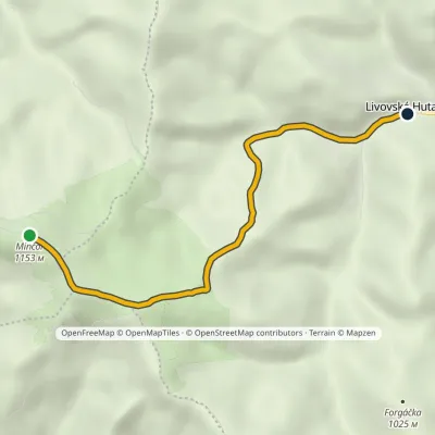 EasyOne-dayMarkedLivovská Huta MinčolElevation profile651–1 153 m4.8 km≈ 1 h walkingunder 1 km from Minčol (Čergov)
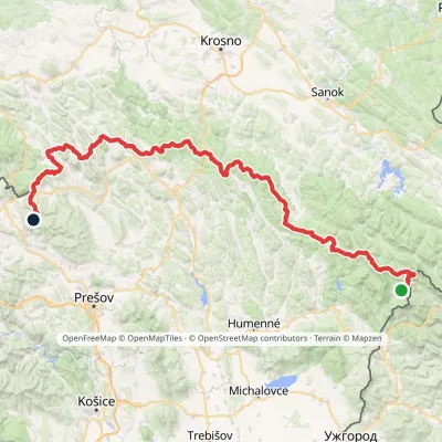 HardMulti-dayMarkedVýchodokarpatská magistrálaElevation profile390–1 209 m213.5 kmascent 7 991 munder 1 km from Minčol (Čergov)
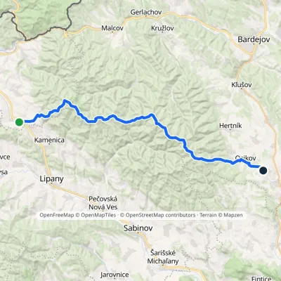 HardMulti-dayMarkedPusté Pole VaniškovceElevation profile323–1 153 m36.1 kmascent 1 113 m≈ 11.5 h walkingunder 1 km from Minčol (Čergov)
Nearby attractions
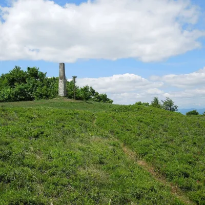 Mountain meadowThe meadow of Čergov's Minčol, the highest peak of the Čergov mountainsKyjovaltitude 1 157 munder 1 km from Minčol (Čergov)Čergov's Minčol (Minčol, 1,157 m) is the highest summit of the Čergov mountains in eastern Slovakia, where the districts of Bardejov, Sabinov and Stará Ľubovňa of the...
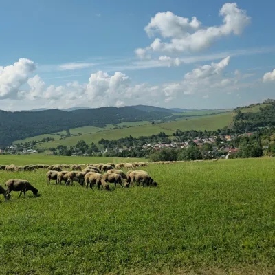 Cheese dairies & pasturesFarma Kamenica — Family Sheep Farm and Cheese Dairy in ŠarišKamenica4.3 km from Minčol (Čergov)Kamenica is a village in northern Šariš, in the valley of the Kameničanka stream, at about 483 m above sea level.
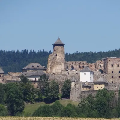 CastleĽubovňa CastleStará Ľubovňa23 km from Minčol (Čergov)Ľubovňa Castle (Ľubovniansky hrad) stands on a 548 m limestone hill above the town of Stará Ľubovňa and the left bank of the Poprad.
Craft nearby
All craft places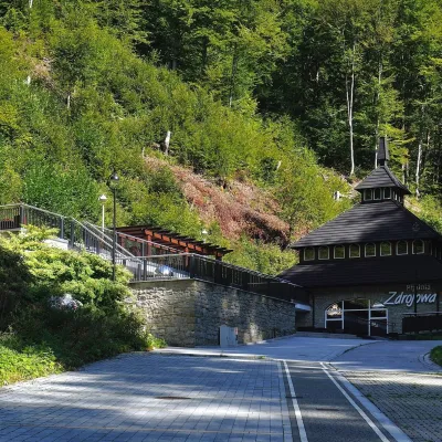 Water parks & thermal poolsŻegiestów-Zdrój spa: the Anna pump room and the Spa HouseŻegiestów19 km from Minčol (Čergov)Żegiestów-Zdrój is a small spa in the narrow Poprad valley in the Beskid Sądecki, a kilometre and a half from the village of Żegiestów and a few kilometres from Muszyna.
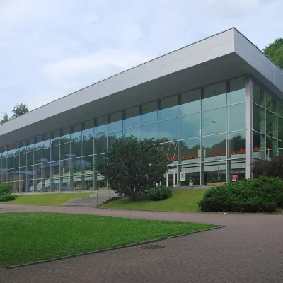 Water parks & thermal poolsKrynica-Zdrój pump rooms: tasting the mineral watersKrynica-Zdrój20 km from Minčol (Čergov)Krynica-Zdrój grew up around its mineral springs, and the best way to feel the spa is to walk round its pump rooms and taste the local waters.
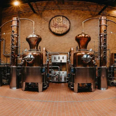 Craft producersSpišská Pálenica, Stará Ľubovňa: distillery tour and Spiš borovičkaStará Ľubovňa22 km from Minčol (Čergov)Spiš boasts perhaps the oldest history of distilling in Europe: at the hillfort of Myšia Hôrka near Spišský Štvrtok, part of a distillation vessel from around 1500 BC...
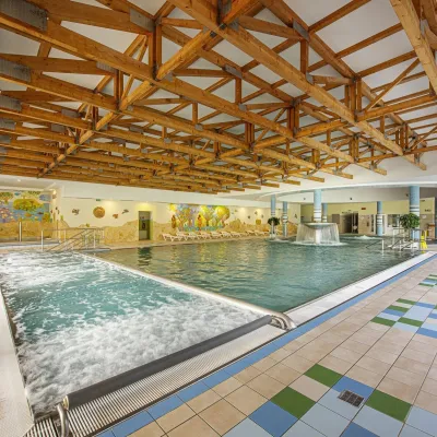 Water parks & thermal poolsBardejovské Kúpele: Wellness Spa Ozón and summer poolBardejov23 km from Minčol (Čergov)Bardejovské Kúpele is one of Slovakia’s oldest spas, a part of the town of Bardejov about 5 km from its centre, in a valley under the Magura massif that shelters it...
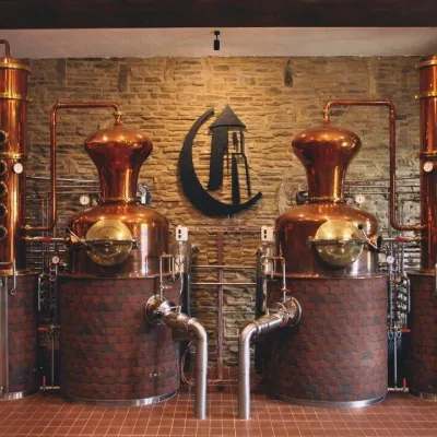 Craft producersCastle Distillery below Ľubovňa Castle: fruit spirits and tastingsStará Ľubovňa23 km from Minčol (Čergov)Stará Ľubovňa is a town in northern Spiš, overlooked by Ľubovňa Castle. For more than three and a half centuries Ľubovňa was one of the Spiš towns pledged to the...
 Craft producersNestville Distillery, Hniezdne — Home of the First Slovak WhiskyHniezdne26 km from Minčol (Čergov)This tradition is the basis for BGV, a company founded in 2001, which built the Nestville Distillery here.
