Beskid (Tatras)
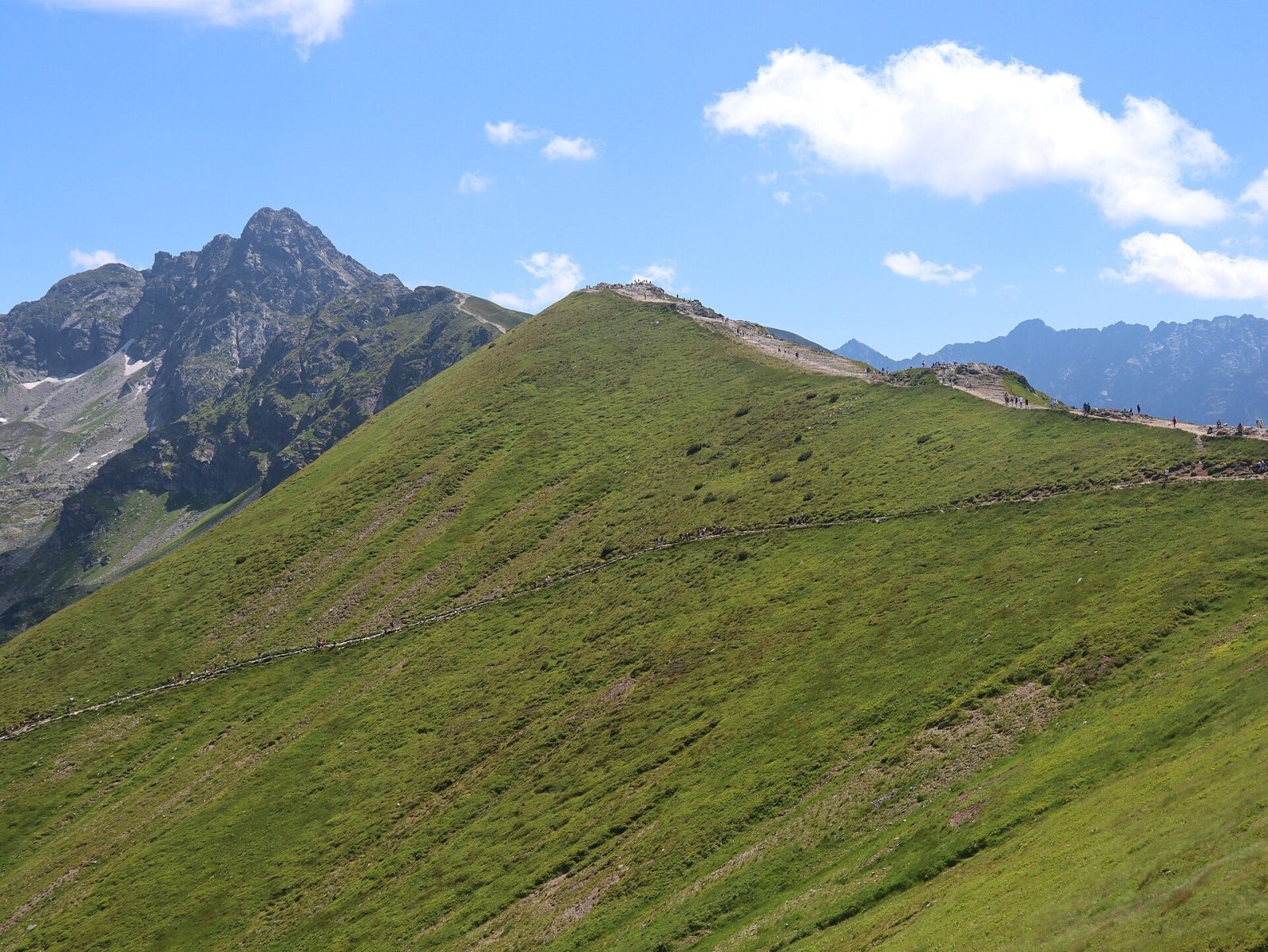
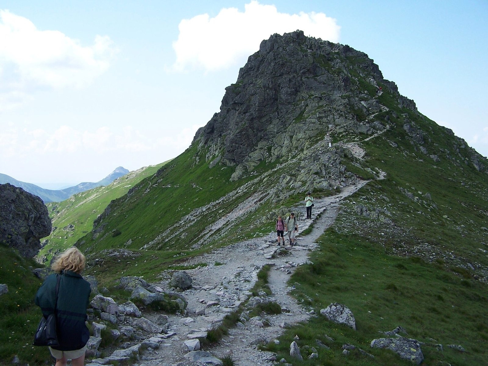
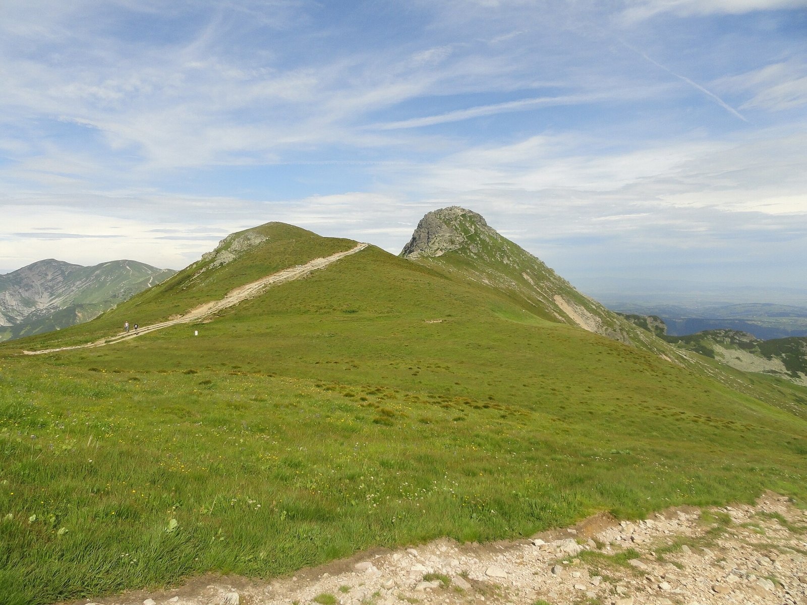
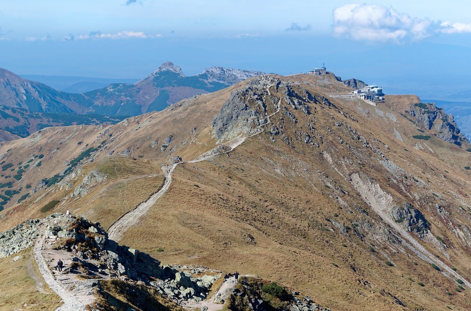
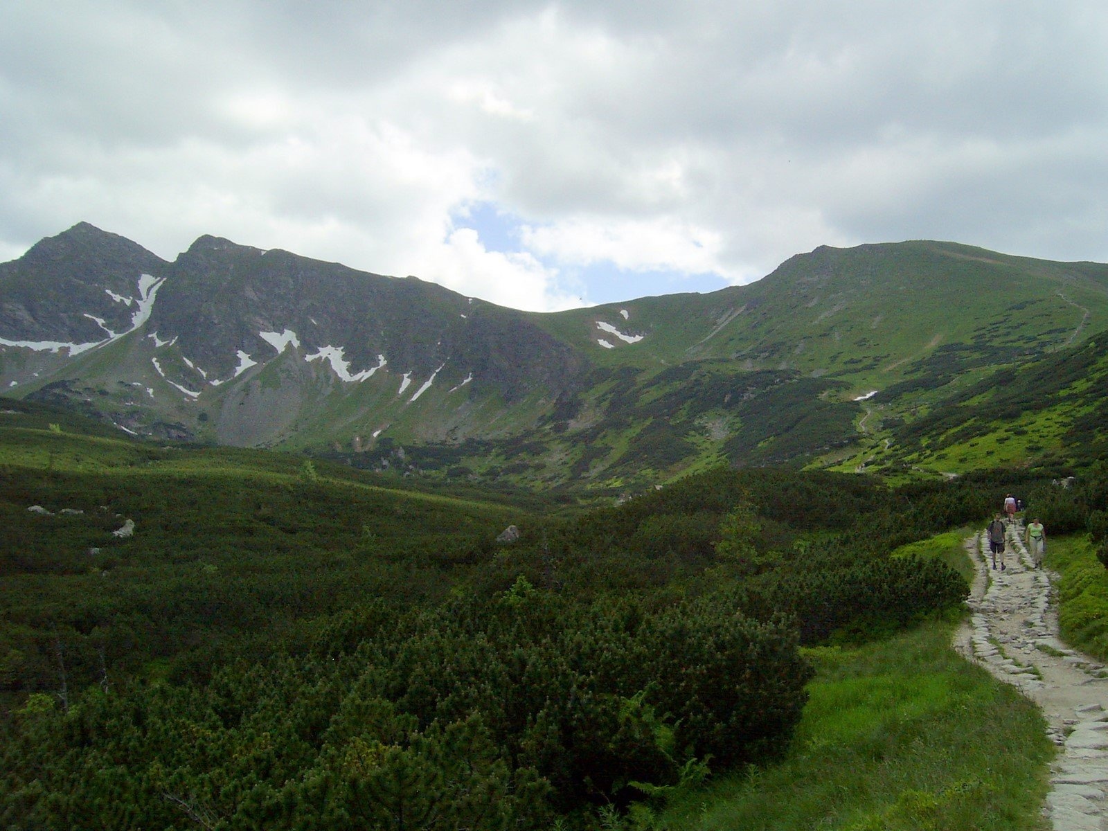
Beskid (Slovak Beskyd) is a 2,012 m summit on the main ridge of the Tatras on the border between Poland and Slovakia. It is the easternmost peak of the main ridge of the Western Tatras: it stands between the Sucha Przełęcz pass (about 1,950 m), beyond which rises Kasprowy Wierch, and the Liliowe pass (1,952 m), which separates the Western Tatras from the High Tatras. Between Beskid and Liliowe the Tatra expert Władysław Cywiński also distinguishes the small top of Liliowa Kopka (about 1,975 m), separated by the Wyżnie Liliowe notch.
On the Slovak side the slopes of Beskid fall into the Tichá dolina, drained by the Tichý potok to the Váh; on the Polish side they descend into the Gąsienicowa valley, and a spur running down from the summit bounds the Kasprowy cirque, the upper floor of this valley. The state border runs across the summit.
How to get there / trails
Beskid is easy to reach and very popular: the busy red ridge trail from Kasprowy Wierch via the Liliowe pass to Świnica crosses the summit. According to Polish Wikipedia, the Kasprowy Wierch – Świnica section takes about 1 h 40 min (1 h 20 min back). Many visitors ride the cable car from Kuźnice up Kasprowy Wierch and take a short walk along the ridge to Liliowe — Beskid lies on exactly this stretch, about 600 m from Kasprowy Wierch.
From the Slovak side, a yellow trail climbs from Podbanské through the Tichá dolina to the Sucha Przełęcz (Suché sedlo), and the red ridge trail continues west via Kasprowy Wierch to Kondracka Kopa. From the Liliowe pass you can descend into the Gąsienicowa valley to the Murowaniec hut.
What you can see from the summit
The stony summit offers an all-round view. According to Slovak Wikipedia you can see many peaks of the Western and High Tatras — Goryczkowa Czuba, Kondracka Kopa, Małołączniak and Krzesanica to the west, Kriváň to the south, Świnica and Kozi Wierch to the east — as well as the surrounding valleys and the Polish foothills; in good conditions also part of the Low Tatras and the Orava Beskids.
Nature and history
Beskid is an indistinct summit built of pink granite (granodiorite) resting on sedimentary rocks. It belongs to the so-called Goryczkowa crystalline island — a group of granite peaks sitting on a limestone base; a group of limestone outcrops can be spotted among the dwarf pine at the foot of the northern slopes. The summit itself is stony, while its slopes are gentler and grassy. Heavy foot traffic has trampled the path into a broad track and badly damaged the vegetation. Among the plants rare in Poland is the mountain plantain (Plantago atrata, site confirmed in 2001).
The name is the singular of "Beskidy" (the Beskids). In 1934–1936 Eugeniusz Sieczka-Gąsienica built a private mountain hut at the foot of Beskid in the Gąsienicowa valley, but the opening of the Kasprowy Wierch cable car with its restaurant in 1936 drove him bankrupt. The remains of its walls, called "Gienek's Walls" by skiers and rescuers, were removed only in 2006.
Safety, season and rules
The summit lies in the Tatra National Park on both sides of the border — Poland's TPN and Slovakia's TANAP — and its south-western slopes also belong to the Tichá dolina national nature reserve. TPN charges an entry fee (tickets at the entry points or online), and you may walk only on marked trails. TANAP's high-mountain marked trails are closed from 1 November to 31 May, so the Slovak yellow trail through the Tichá dolina is not available then.
Despite the nearby cable car, this is high mountain terrain above 2,000 m: the ridge is exposed to the wind, fog and thunderstorms build quickly, and in winter the slopes of the Kasprowy cirque can be avalanche-prone. On the Polish side help comes from TOPR: 985 or +48 601 100 300; on the Slovak side from HZS: 18 300 (+421 18 300). The general emergency number is 112.
Photos: Cybularny, CC0; Jerzy Opioła, CC BY-SA 4.0; Cybularny, CC0; Jakub Hałun, CC BY-SA 4.0; Krzysztof Dudzik-Górnicki (User:ToSter), CC BY 3.0; Opioła Jerzy, CC BY-SA 3.0 — Wikimedia Commons.
Getting there from Ukraine
Border crossings
- Krakovets – Korczowa — road, 24/7
- Shehyni – Medyka — road, 24/7 Pedestrian crossing is not confirmed by the Ukrainian border service — check dpsu.gov.ua before the trip.
- Smilnytsia – Krościenko — road, 24/7
- Hrushiv – Budomierz — road, 24/7
- Mostyska – Przemyśl (rail) — rail, 24/7
By car
Lviv – Zakopane ≈421 km, ≈5 h 10 min without border queues. Route: M-10 Lviv – Krakovets → Krakovets – Korczowa checkpoint → A4 motorway (Rzeszów – Tarnów – Kraków) → Kraków southern bypass → S7/DK7 → DK47 ('Zakopianka') via Nowy Targ → Zakopane. The A4 Katowice – Kraków section (Balice and Mysłowice toll plazas) is tolled, but this route does not use it. In summer and at weekends the DK47 near Zakopane is often congested.
Checked 23.10.2026; border crossing hours and timetables change — check before you travel.
Location on the map
Water and shelter nearby
- Spring below Beskid (north-east slope), 1 684 m580 m · Not verified · 1 684 m
- Spring below Kasprowy Wierch (north-east slope)610 m · Not verified · 1 806 m
- Spring below Beskid (north-east slope), 1 726 m610 m · Not verified · 1 726 m
- Spring below Beskid (north-east slope), 1 684 m (2)610 m · Not verified · 1 684 m
- Spring below Kasprowy Wierch (south-west slope)960 m · Not verified · 1 503 m
- Spring below Pośredni Goryczkowy Wierch1.5 km · Not verified · 1 627 m
- Spring below Goryczkowa Czuba2 km · Not verified · 1 639 m
- Spring below Małe Uhrocie Kasprowe (north slope), 1 594 m2.1 km · Not verified · 1 594 m
- Spring below Małe Uhrocie Kasprowe (north slope), 1 624 m2.1 km · Not verified · 1 624 m
- Kasprowe Wywierzysko Spring2.1 km · Not verified · 1 388 m
- Spring below Zadná Licierova kopa (north-east slope)2.2 km · Not verified · 1 558 m
- Murowaniec Hut2.2 km · Standing · 1 500 m
- Drinking water below Małe Uhrocie Kasprowe2.2 km · Not verified · 1 499 m
- Spring below Małe Uhrocie Kasprowe (east slope)2.2 km · Not verified · 1 489 m
- Spring below Zadná Licierova kopa (east slope)2.3 km · Not verified · 1 577 m
- Spring below Vráta2.4 km · Not verified · 1 274 m
Comments
Trails nearby
All trails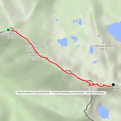 HardOne-dayMarkedKasprowy Wierch Zawratvia ŚwinicaElevation profile1 946–2 257 m3.6 kmascent 397 m≈ 1.5 h walkingunder 1 km from Beskid (Tatras)
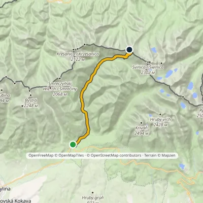 ModerateTwo-dayMarkedPodbanské Suché SaddleElevation profile928–1 946 m16.2 kmascent 1 020 m≈ 6 h walkingunder 1 km from Beskid (Tatras)
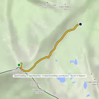 ModerateOne-dayMarkedKasprowy Wierch Murowaniec HutElevation profile1 502–1 987 m2.7 kmascent 1 m≈ 45 min walkingunder 1 km from Beskid (Tatras)
Nearby attractions
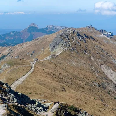 PeakKasprowy WierchZakopanealtitude 1 987 munder 1 km from Beskid (Tatras)4 trails to the topKasprowy Wierch (Slovak: Kasprov vrch) is a 1,987 m summit on the main ridge of the Western Tatras, on the Polish–Slovak border.
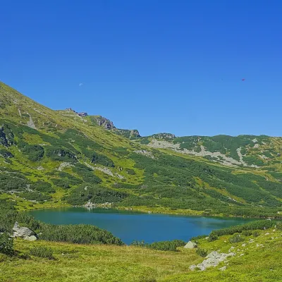 LakeZielony Staw GąsienicowyZakopaneunder 1 km from Beskid (Tatras)Zielony Staw Gąsienicowy, or simply Zielony Staw (the Green Tarn), is a glacial lake in the High Tatras at 1,672 m.
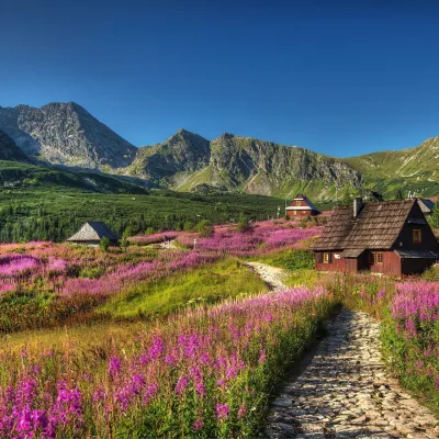 Mountain meadowHala GąsienicowaZakopanealtitude 1 500 m2.3 km from Beskid (Tatras)Hala Gąsienicowa is a former high-mountain pasture in the northern part of the Gąsienicowa Valley in the High Tatras, inside the Tatra National Park (TPN).
Craft nearby
All craft places Cheese dairies & pasturesFurtek's Shepherd's Huts, Kuźnice and KalatówkiZakopane5.2 km from Beskid (Tatras)Above Kuźnice — the southern edge of Zakopane where most hikes into the Western and High Tatras begin — the flocks are tended by baca Andrzej Staszel, nicknamed "Furtek".
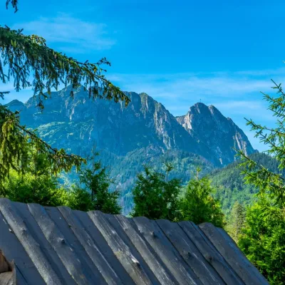 Koliby & Hutsul cuisineBąkowo Zohylina Wyźnio Highland TavernZakopane6.6 km from Beskid (Tatras)Bąkowo Zohylina Wyźnio is a regional highland tavern in Zakopane housed in a wooden "szałas" (shepherd-hut-style building) with a view of the Tatras.
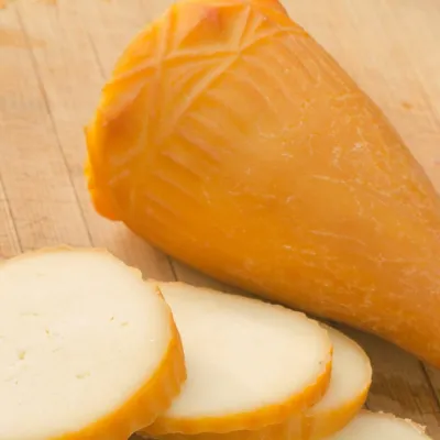 Cheese dairies & pasturesDom Oscypka, Krupówki, Zakopane: cheese-making workshop with a bacaZakopane7.6 km from Beskid (Tatras)Dom Oscypka ("House of Oscypek") is a workshop studio on Krupówki in the very centre of Zakopane, where you can see how highland cheese is made from milk and make some...
 Crafts & workshopsSztukomania Studio, Zakopane: handmade ceramics and pottery workshopsZakopane7.6 km from Beskid (Tatras)Sztukomania is a small ceramics and woodwork studio on Staszica street in Zakopane, a few minutes' walk from Krupówki.
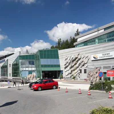 Water parks & thermal poolsTermy Zakopiańskie (Aqua Park Zakopane)Zakopane7.6 km from Beskid (Tatras)Termy Zakopiańskie is a thermal water park right in Zakopane, on Jagiellońska Street, only a kilometre from Krupówki.
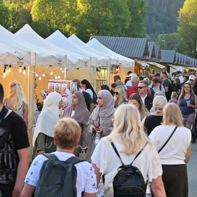 Markets & fairsEuropean Fair of Regional Products, Zakopane (every August)Zakopane7.7 km from Beskid (Tatras)The European Fair of Regional Products (Europejskie Targi Produktów Regionalnych) is a five-day festival of food, crafts and music held every August on Górna Równia...
