Veľký Lopeník
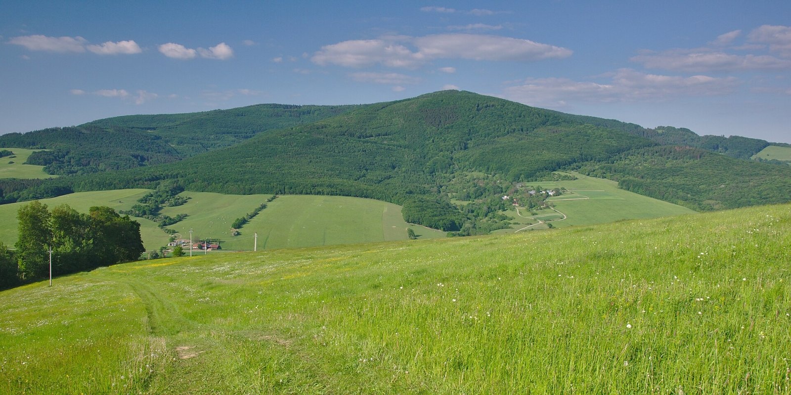
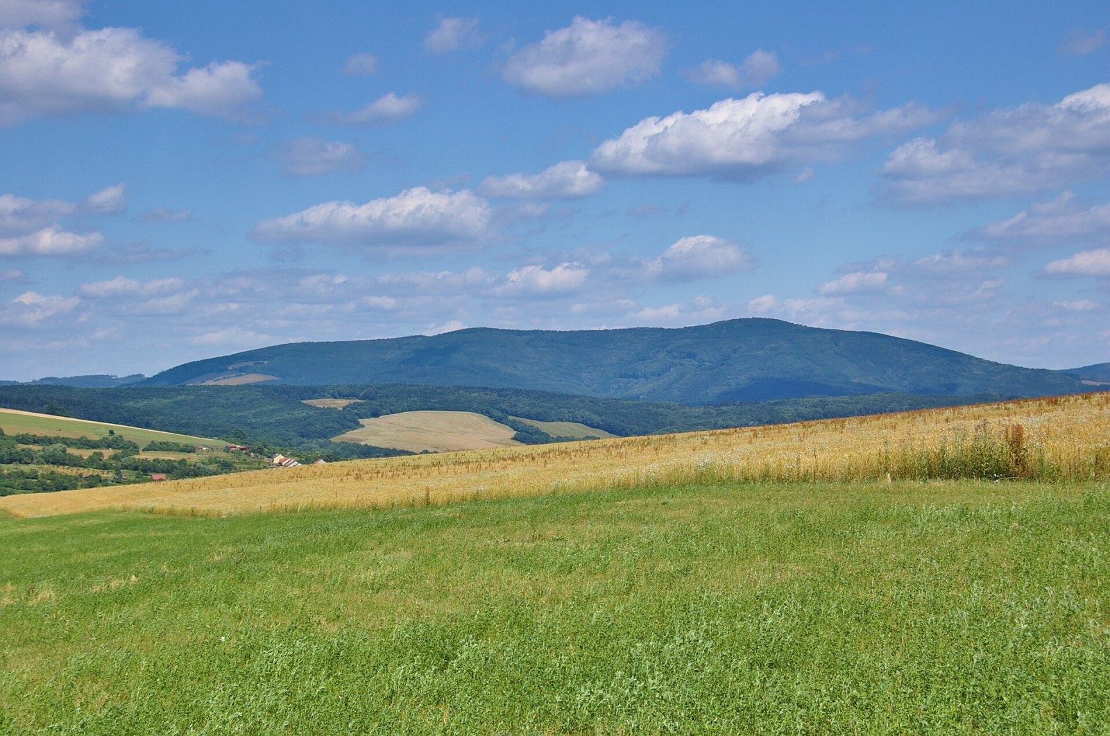
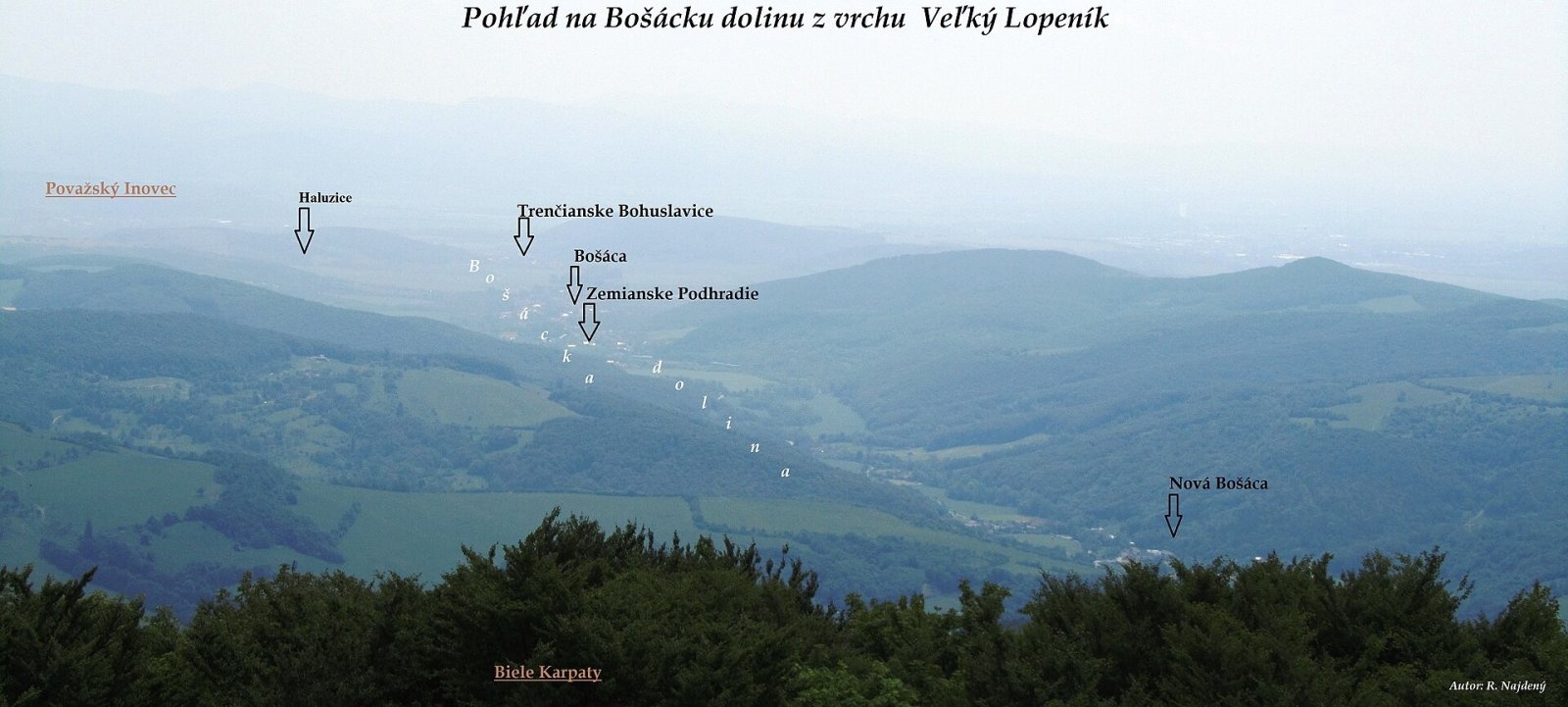
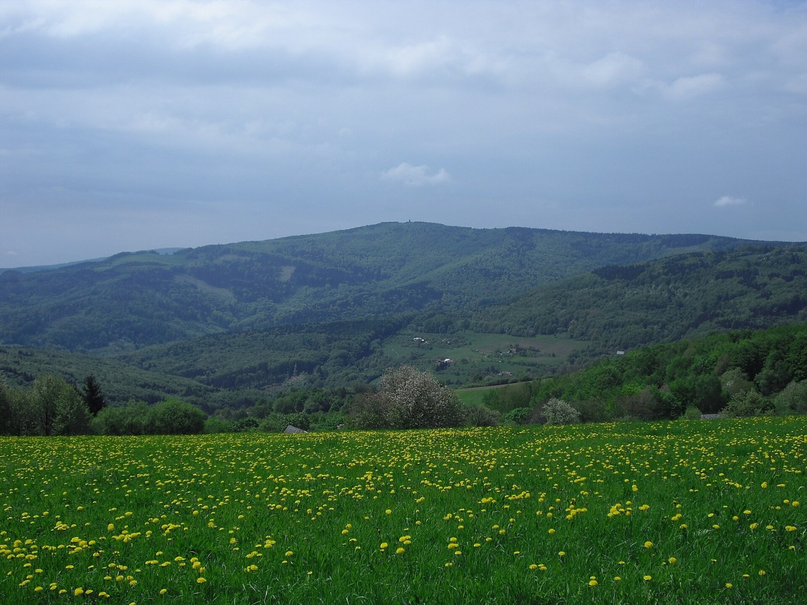
Veľký Lopeník (Czech Velký Lopeník) is a distinctive 911 m summit of the White Carpathians (911.3 m according to Slovak data) on the border between Slovakia and Czechia. The state border runs over the summit, so the mountain lies on the boundary between Nové Mesto nad Váhom District of the Trenčín Region in Slovakia and Uherské Hradiště District of the Zlín Region in Czechia. Lopeník stands about 17 km north of Nové Mesto nad Váhom and 3 km south-east of the Moravian village of Březová. The nearest settlements are Lopeník and Březová on the Czech side and Nová Bošáca on the Slovak side.
Veľký Lopeník is the highest summit of the Lopeník Highlands and, according to Slovak Wikipedia, the fourth-highest summit of the White Carpathians after Veľká Javorina, Jelenec and Chmeľová. To the north, already on Czech territory, rises Malý Lopeník (881 m). The massif is wooded, with meadows and pastures in places, and the treeless summit carries a lookout tower. Scattered hamlets lie on the northern and southern foothills – the so-called kopanice of the villages of Lopeník and Nová Bošáca. This land of small scattered farms and old, primitive agriculture is known as the Moravian Kopanice, and on the Slovak side as the kopaničiar country.
The mountain lies both in the Slovak Biele Karpaty Protected Landscape Area and in the Czech Bílé Karpaty PLA, which has been a UNESCO biosphere reserve since 1996.
How to get there / routes
- Blue trail – from the Slovak village of Nová Bošáca through its kopanice, perpendicular to the main ridge.
- Green trail – on the Czech side from Veľká Javorina via the valleys of Strání and Březová to Veľký Lopeník and on via Malý Lopeník to Mikulčin vrch.
- The long-distance routes Via Slovakia and Via Czechia also cross the summit.
Sources give no official walking times. Tourist infrastructure in the area is modest, so the mountain is considered rather hard to reach; on the other hand, it is loved by those who look for quiet without amenities. About 100 m west of the tower is the Velký Lopeník well – one of the highest-lying wells in the White Carpathians, where water flows straight out of the rock; it is looked after by the municipality of Lopeník.
What you can see from the summit
The main reason to come up is the lookout tower, which offers a view of the White Carpathians on both sides of the border, including the Bošácka valley on the Slovak side. The viewing platform is at 20 m, reached by 101 steps.
Nature and history
Three wooden lookout towers have already stood on the summit. The first was built in 1944 but burned down in 1946. A replica was built the same year and, despite the harsh climate on the summit, lasted until 1972, when it collapsed by itself. The present 22 m tower was built jointly by the Slovak and Czech sides: the foundation stone was laid on 23 June 2002, construction started in September 2004 and the tower was ceremonially opened on 16 July 2005. It is made of oak on a masonry base to a design by the Zlín architect Svatopluk Sládeček and cost about 2 million Czech crowns. The tower is seen as a symbol of friendship between Czechs and Slovaks.
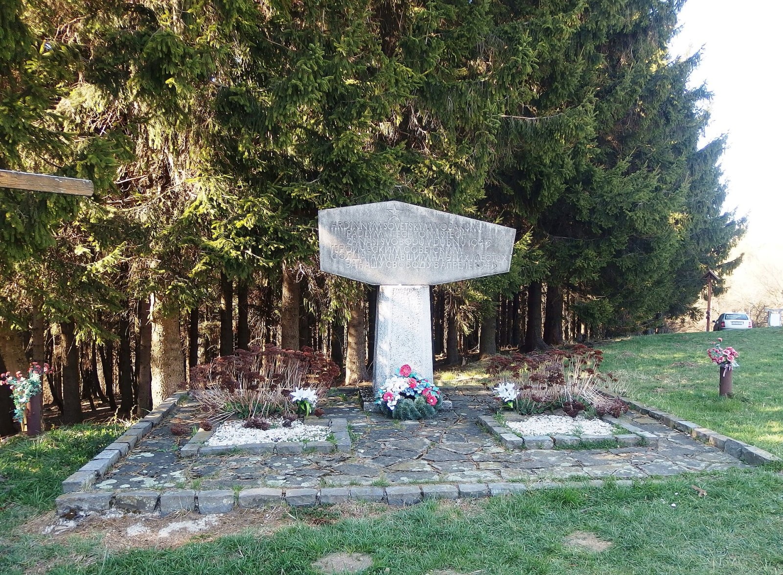
The summit also has a memorial and the common grave of 22 Red Army soldiers who fell in heavy fighting in the area at the end of the Second World War. Besides the tower, there is a gazebo, a rest area with benches and information boards.
Safety, season and rules
The climb to Lopeník follows forest and meadow paths without rocky sections and suits a walk in the warm season; in winter the paths may be snow-covered and there are few services nearby, so carry water and food. On the Slovak side the mountain is used for paragliding. In both protected landscape areas stay on marked trails and take your litter home. On the Slovak side help in the mountains comes from the Mountain Rescue Service HZS: 18 300 (+421 18 300); the single emergency number 112 works in both countries.
Interesting facts
- The present tower is already the third on the summit; the first two together stood for less than 30 years.
- The Velký Lopeník well is one of the highest in the White Carpathians.
- Scattered kopanice hamlets – the typical settlement pattern of this borderland – can still be seen around the mountain.
Photos: Jiří Komárek, CC BY-SA 4.0; Jiří Komárek, CC BY-SA 4.0; R.Najdený, CC BY-SA 4.0; Palickap, CC BY-SA 3.0; Palickap, CC BY-SA 4.0 — Wikimedia Commons.
Getting there from Ukraine
Border crossings
- Uzhhorod – Vyšné Nemecké — road, 24/7
- Malyi Bereznyi – Ubľa — road, 24/7 For cars and buses; pedestrians not confirmed by the Ukrainian border service, lorries up to 3.5 t.
- Mali Selmentsi – Veľké Slemence (pedestrian) — pedestrian, 09:00–21:00 Kyiv time Pedestrians and cyclists only; inconvenient for the Tatras without onward transport.
- Chop – Čierna nad Tisou (rail) — rail, 24/7
By car
From Uzhhorod to Žilina ≈330 km, ≈4 h 20 min without queues: Uzhhorod – Vyšné Nemecké → I/19 to Košice → D1 via Prešov, Poprad, Liptovský Mikuláš and Ružomberok (≈17 km on I/18 between D1 sections) → Žilina. To Terchová ≈314 km, ≈4 h 15 min: from the D1 onto I/70 and II/583. From Lviv through Poland: M-10 → Krakovets – Korczowa → A4 to Kraków → S7/DK7 to Chyżne – Trstená → R3, I/59 to Dolný Kubín → II/583 via Terchová to Žilina: to Terchová ≈493 km (≈6 h 30 min), to Žilina ≈518 km (≈7 h). Via the tolled A4 Kraków – Katowice, S1 and D3: ≈533 km, ≈6 h 35 min. The D1 requires an e-vignette (eznamka.sk).
Checked 23.10.2026; border crossing hours and timetables change — check before you travel.
Location on the map
Water and shelter nearby
- Spring below Veľký Lopeník (south slope), 540 m1.6 km · Not verified · 540 m
- Spring below Veľký Lopeník (south-east slope)2.1 km · Not verified · 578 m
- Spring below Veľký Lopeník (south slope), 519 m2.4 km · Not verified · 519 m
Comments
Trails nearby
All trails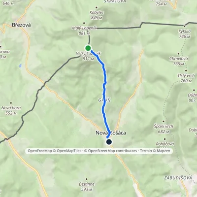 EasyOne-dayMarkedVeľký Lopeník Nová BošácaElevation profile307–911 m5 kmascent 1 m≈ 1.5 h walkingunder 1 km from Veľký Lopeník
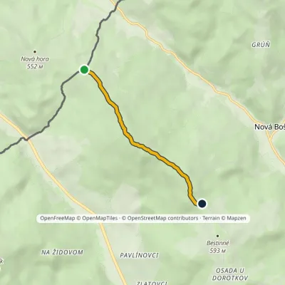 EasyOne-dayMarkedNová Hora-ČR Horné KameničnéElevation profile535–649 m3.8 kmascent 106 m≈ 1 h walking3.9 km from Veľký Lopeník
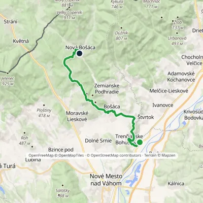 ModerateTwo-dayMarkedTrenčianske Bohuslavice Nová BošácaElevation profile188–575 m18.4 kmascent 556 m≈ 5.5 h walking4.1 km from Veľký Lopeník
Nearby attractions
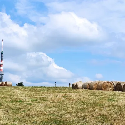 Mountain meadowThe meadows of Veľká Javorina, the highest peak of the White CarpathiansLubinaaltitude 970 m10 km from Veľký LopeníkVeľká Javorina (Czech Velká Javořina, 969.8 m) is the highest mountain of the White Carpathians (Biele Karpaty) on the Slovak–Czech border, about 8 km north of the...
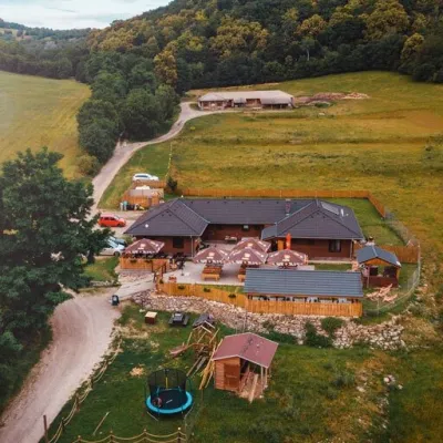 Cheese dairies & pasturesSalaš Beckov: 100% sheep’s cheese and bryndza dumplingsBeckov18 km from Veľký LopeníkA sheep salaš beside one of the Váh valley’s finest castles Beckov is a village in the Váh valley between Nové Mesto nad Váhom and Trenčín, overlooked by the ruins of...
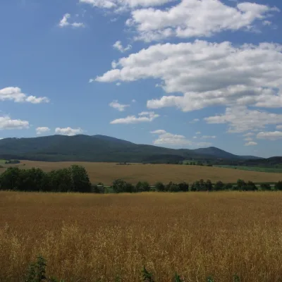 PeakInovecSelecaltitude 1 041 m25 km from Veľký LopeníkInovec (Polish Inowiec) is the highest summit of the Považský Inovec range in western Slovakia, at 1,041 m (more precisely 1,041.6 m).
Craft nearby
All craft places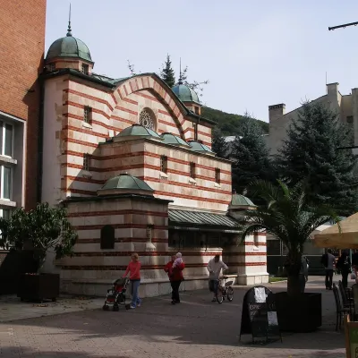 Water parks & thermal poolsTrenčianske Teplice: the Hammam and sulphur thermal bathsTrenčianske Teplice29 km from Veľký LopeníkTrenčianske Teplice is one of Slovakia's oldest spas, squeezed into a narrow wooded valley of the Strážov Mountains not far from Trenčín.
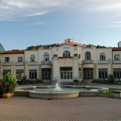 Water parks & thermal poolsPiešťany: the Spa Island, sulphur mud and thermal bathsPiešťany37 km from Veľký LopeníkPiešťany is Slovakia's best-known spa, spread out in the Váh valley between the Považský Inovec and the Little Carpathians.
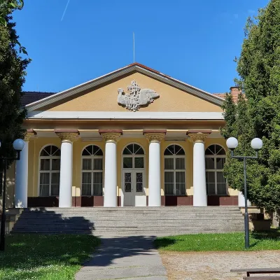 Water parks & thermal poolsSmrdáky: a hydrogen-sulphide spa for skin diseasesSmrdáky41 km from Veľký LopeníkSmrdáky is a small spa village in western Slovakia, on the edge of the Záhorie Lowland and the foothills of the White Carpathians, about 7 km from Senica and 80 km...
