Juráňova dolina: the Tiesňavy gorge with waterfalls and giant's kettles
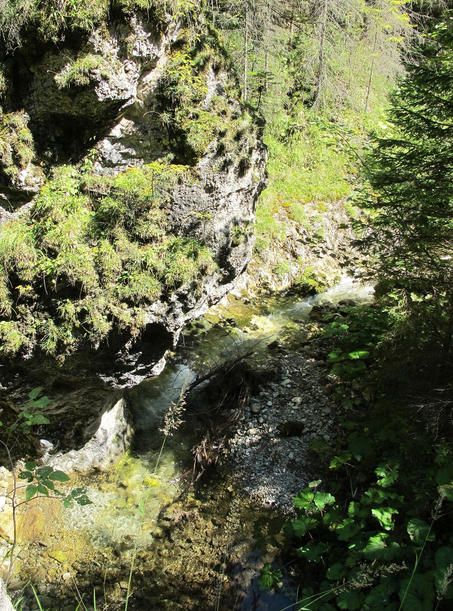
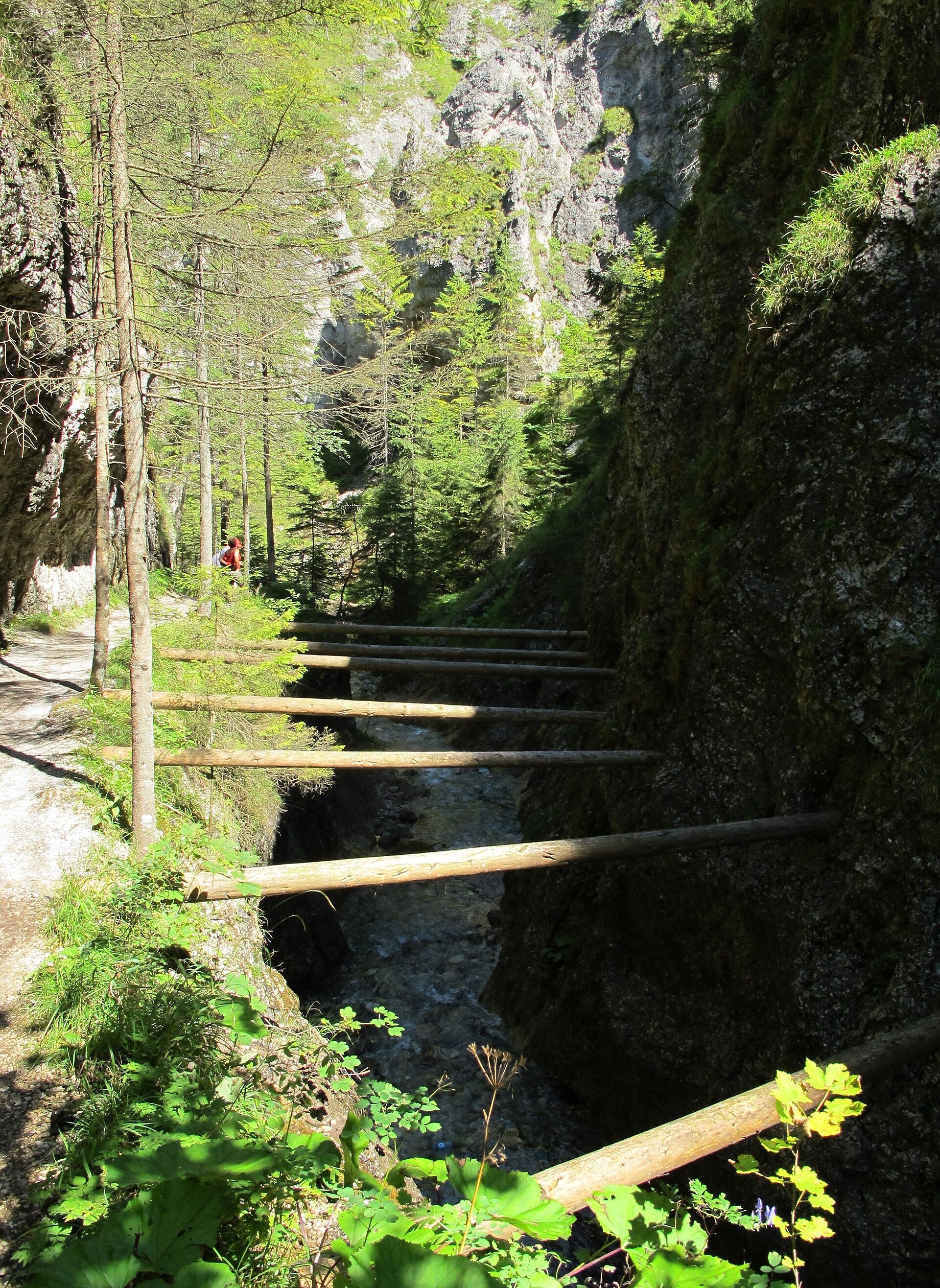
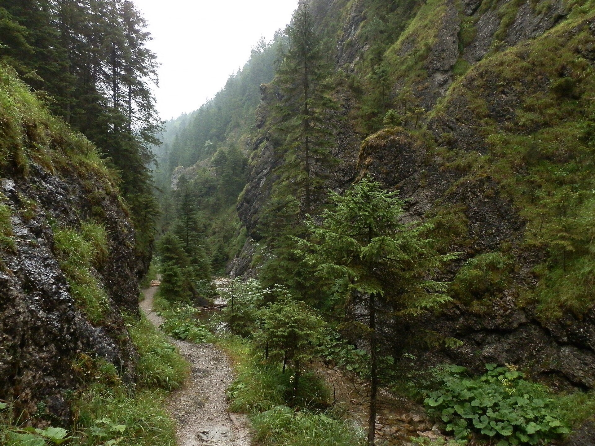
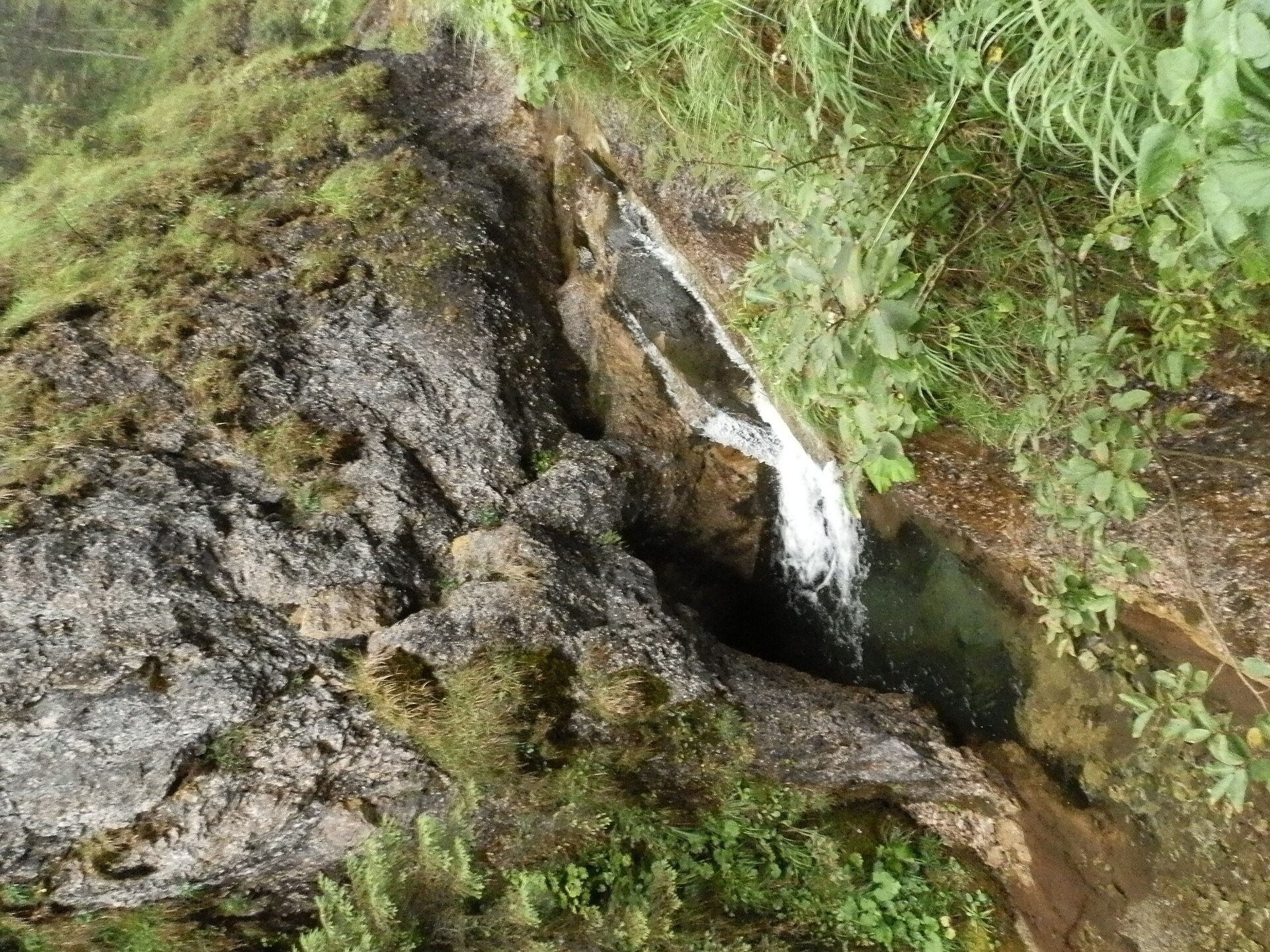
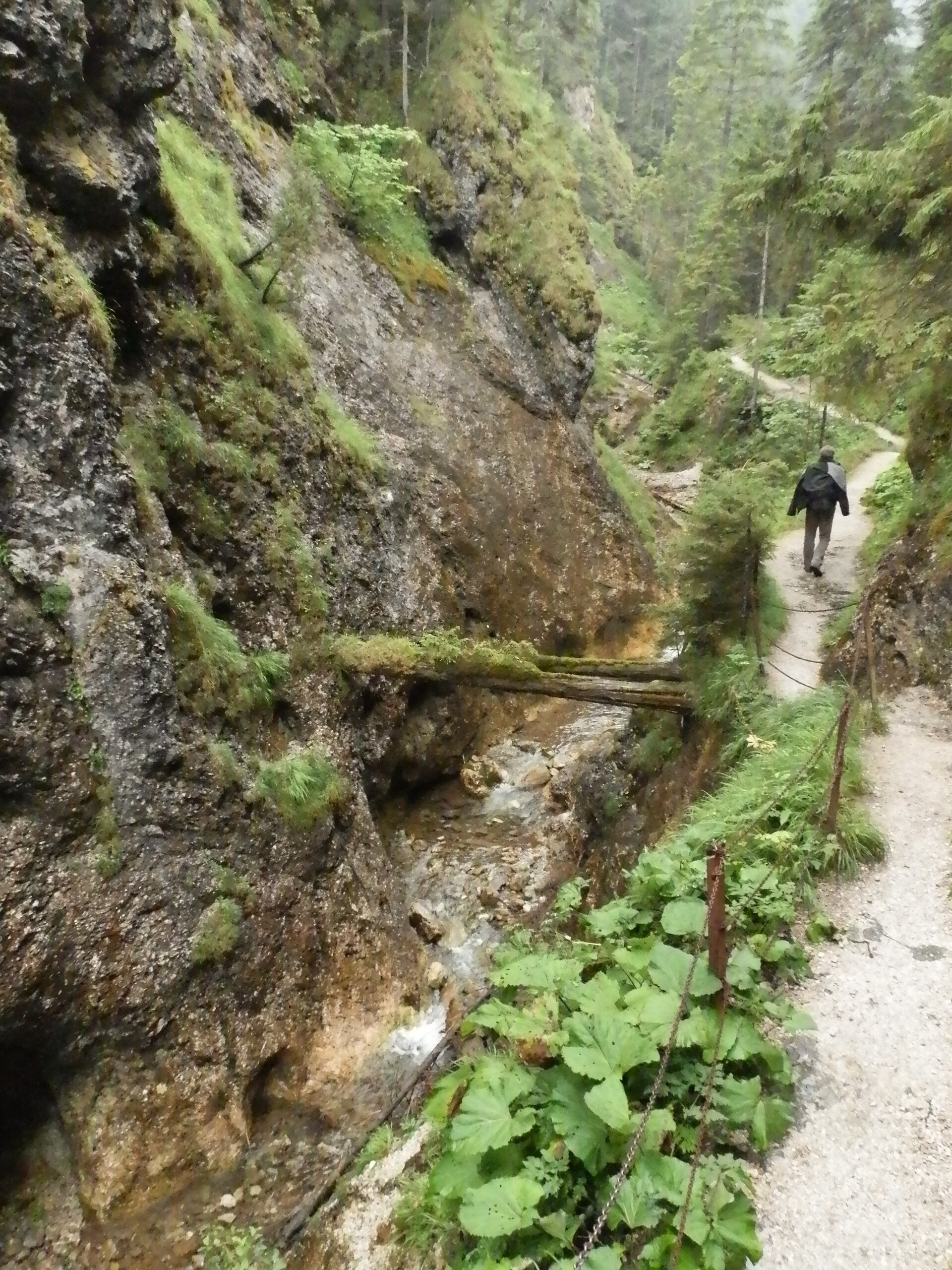
Juráňova dolina is the largest branch of the Tichá Oravská valley in the Western Tatras (Západné Tatry), above the resort of Oravice on the Slovak side of the border with Poland. The valley is 4 km long and covers about 4.3 km²; its lower part narrows for a kilometre into the rock gorge of Tiesňavy, cut by the Juráňov potok between the dolomite cliffs of Ježov vrch and Čaplovka. In it the stream forms a series of steps and small waterfalls – one of them, the Juráňov potok waterfall, is included in the list of waterfalls of the Tatra National Park – and the water has drilled so-called giant's kettles (potholes) into the dolomite. Higher up the valley widens into two long clearings, Sivárna and Juráňova poľana, above which rises Bobrovec (1,658 m). There was no glacier here during the last ice age.
The valley was probably named after the Juran family from the village of Liesek in Orava, who owned the pastures here in the 17th century. In the second half of the 18th century iron ore was mined in the valley and carried out over the Umrlá saddle. In 1885–1886, to float timber down from the upper valley, a wooden walkway was laid through the gorge on beams across the stream bed – it covered the stream for 903 m and served until the First World War, and it was finally destroyed by a flood in 1934. As early as 1935 the Tvrdošín branch of the Czechoslovak Tourist Club built the present path, in places cut straight into the rock. Since 1974 the whole valley has been a strict national nature reserve protecting the rock gorge with its waterfalls and potholes, the rich mountain flora and fragments of primeval forest; in 1987 it became part of the Tatra National Park. In Tiesňavy, at about 880 m, grows one of the lowest natural stands of dwarf pine in the Carpathians.
What to see and do
- The Tiesňavy gorge – a kilometre of path along the stream between vertical dolomite walls, with footbridges and handrails; cascades, riffles and clear pools at every step.
- The Juráňov potok waterfall and the giant's kettles – the main natural wonders of the gorge.
- Traces of the old walkway. On the gorge walls you can still make out where the beams of the 19th-century wooden walkway were fixed.
- The clearings above the gorge – a quiet spot with views of the forests of Bobrovec; best in summer and early autumn.
How to get there
The starting point is Oravice in the Tichá Oravská valley; the mouth of the valley (about 860 m) is a short way from Oravice. The red trail, together with the "Juráňova dolina" educational trail, leads through the Tiesňavy gorge to the Umrlá saddle: according to signpost data, about 1 h 45 min up and 1 h 30 min down (pl.wikipedia). The green path through the middle of the valley to Juráňovo sedlo and Bobrovec was closed in 2008 to create a quiet zone for large carnivores. The walk through the gorge is manageable for families with children, but the path is too narrow and rocky for prams.
Season and safety
Under the TANAP Visitor Rules (decree 26/2023, annex 3B) the red trail through Juráňova dolina to the junction below Umrlá is closed from 1 November to 30 April; you can walk here from 1 May to 31 October. Dogs are not allowed on this trail (annex 5); walking is permitted only on marked trails and only in daytime, drones are banned without a permit, and entry to TANAP is free. After heavy rain and during the snowmelt the footbridges can be slippery and the stream turbulent. Mountain Rescue Service HZS – 18 300, general emergency number – 112. Information as of October 2026.
Nearby
In Oravice are the Oravice thermal pools; beyond the ridge, in Poland, lies the Chochołowska Valley with Polana Chochołowska; in the Roháčska valley is the Roháčsky Waterfall.
Official website: tanap.sk
Photos: Huhulenik, CC BY 3.0, Wikimedia Commons; Michal Jakubský, CC BY 3.0, Wikimedia Commons.
Getting there from Ukraine
Border crossings
- Uzhhorod – Vyšné Nemecké — road, 24/7
- Malyi Bereznyi – Ubľa — road, 24/7 For cars and buses; pedestrians not confirmed by the Ukrainian border service, lorries up to 3.5 t.
- Mali Selmentsi – Veľké Slemence (pedestrian) — pedestrian, 09:00–21:00 Kyiv time Pedestrians and cyclists only; inconvenient for the Tatras without onward transport.
- Chop – Čierna nad Tisou (rail) — rail, 24/7
By car
From Uzhhorod ≈275 km, ≈3 h 35 min without queues: Uzhhorod – Vyšné Nemecké → I/19 to Košice → D1 motorway via Prešov, Poprad and Liptovský Mikuláš to Ružomberok (≈270 km, ≈3 h 25 min from the border). From Lviv it is faster through Poland: M-10 → Krakovets – Korczowa → A4 to Kraków → S7/DK7 to the Chyżne – Trstená border → R3 and I/59 via Dolný Kubín to Ružomberok: ≈482 km, ≈6 h 15 min (via Uzhok and Ubľa ≈500 km, ≈7 h 30 min). The D1 requires an e-vignette (eznamka.sk).
Checked 23.10.2026; border crossing hours and timetables change — check before you travel.
Location on the map
Comments
Trails nearby
All trails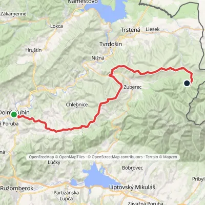 HardMulti-dayMarkedDolný Kubín Junction under UmrláElevation profile476–1 314 m56.6 kmascent 2 149 munder 1 km from Juráňova dolina: the Tiesňavy gorge with waterfalls and giant's kettles
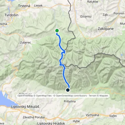 HardTwo-dayMarkedOravice Račková dolina, campsiteElevation profile791–2 063 m23.6 kmascent 1 337 m≈ 8.5 h walkingunder 1 km from Juráňova dolina: the Tiesňavy gorge with waterfalls and giant's kettles
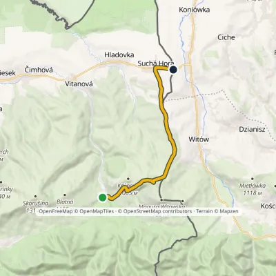 ModerateOne-dayMarkedOravice ChochołówElevation profile790–1 132 m12.5 kmascent 348 m≈ 4 h walking2.8 km from Juráňova dolina: the Tiesňavy gorge with waterfalls and giant's kettles
Nearby attractions
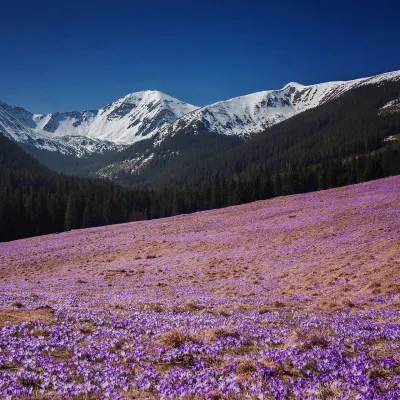 Mountain meadowPolana ChochołowskaKościeliskoaltitude 1 146 m4.4 km from Juráňova dolina: the Tiesňavy gorge with waterfalls and giant's kettlesPolana Chochołowska is the largest glade in the Polish Tatras and one of the largest in the whole range: about 20 ha of meadow in the upper part of the Chochołowska...
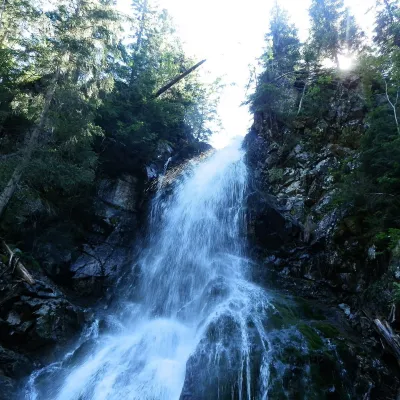 WaterfallRoháčsky WaterfallZuberec7.3 km from Juráňova dolina: the Tiesňavy gorge with waterfalls and giant's kettlesRoháčsky waterfall (Roháčsky vodopád) is the best-known waterfall of the Western Tatras, in the Roháče massif about 12 km east of the village of Zuberec in Orava.
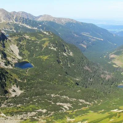 LakeRoháčske plesá7.9 km from Juráňova dolina: the Tiesňavy gorge with waterfalls and giant's kettlesRoháčske plesá are a cascade of four glacial lakes at the head of Roháčska dolina in the Western Tatras, in the Orava region.
Craft nearby
All craft places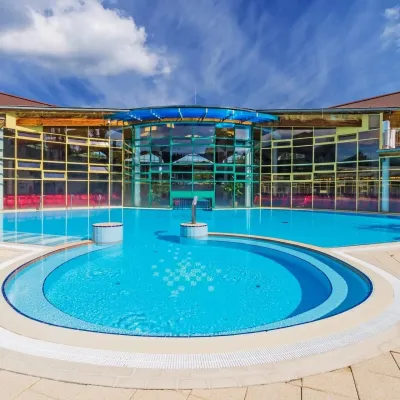 Water parks & thermal poolsMeander Thermal Resort, OraviceVitanová3.2 km from Juráňova dolina: the Tiesňavy gorge with waterfalls and giant's kettlesMeander Thermal & Ski Resort (formerly Meander Park) is a thermal water park and ski centre in the mountain settlement of Oravice in northern Slovakia, at the foot of...
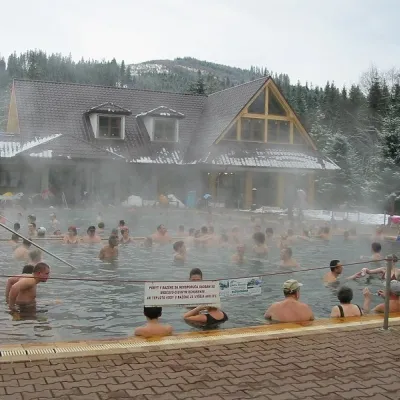 Water parks & thermal poolsOravice thermal poolsVitanová3.2 km from Juráňova dolina: the Tiesňavy gorge with waterfalls and giant's kettlesThe Oravice thermal pools (Termálne kúpalisko Oravice) are the municipal thermal baths in the mountain settlement of Oravice at the foot of the Western Tatras.
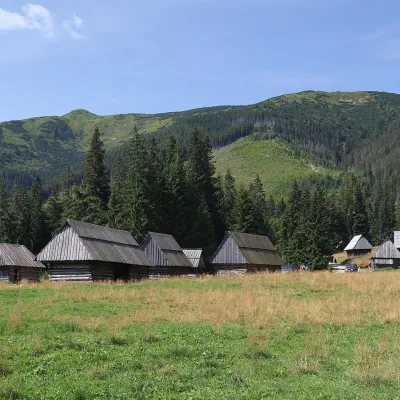 Cheese dairies & pasturesShepherds' Huts on Polana ChochołowskaKościelisko4.5 km from Juráňova dolina: the Tiesňavy gorge with waterfalls and giant's kettlesPolana Chochołowska is the largest glade in the Polish Tatras and one of the largest in the whole range.
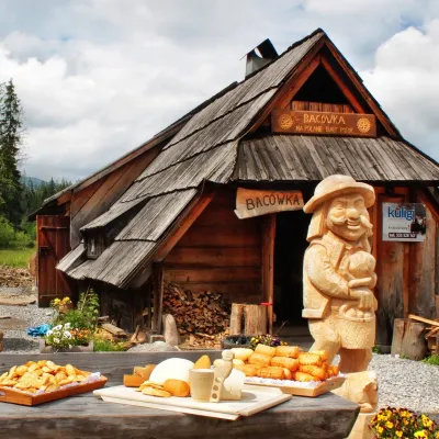 Cheese dairies & pasturesBiały Potok Shepherd's Hut, Witów: oscypek and cheese workshopsKościelisko6.1 km from Juráňova dolina: the Tiesňavy gorge with waterfalls and giant's kettlesBiały Potok meadow in the village of Witów lies between the entrances to two of the most visited Tatra valleys, Chochołowska and Kościeliska.
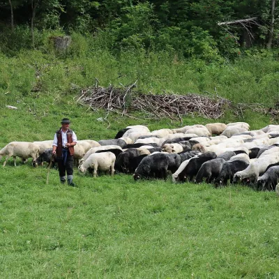 Cheese dairies & pasturesShepherd's Hut in the Kościeliska ValleyKościelisko7.1 km from Juráňova dolina: the Tiesňavy gorge with waterfalls and giant's kettlesJózef Słodyczka's bacówka (shepherd's hut) on the Wyżnia Kira Miętusia glade is probably the most easily reached shepherds' hut in the Polish Tatras.
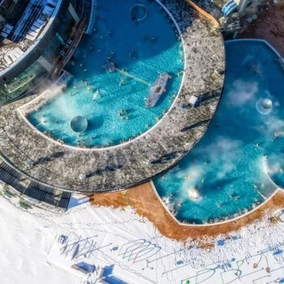 Water parks & thermal poolsChochołowskie TermyChochołów9.4 km from Juráňova dolina: the Tiesňavy gorge with waterfalls and giant's kettlesChochołowskie Termy stand in the village of Chochołów in the Podhale region, north-west of Zakopane and not far from the Slovak border.
