Záhorácka magistrála
Trail map
Route, springs and shelters: © OpenStreetMap contributors (ODbL) · elevation: Copernicus DEM © DLR e.V., © Airbus DS · Data & licences
About the trail
Route Záhorácka magistrála. Has red marking (national route №0770, KST). Waymarking data: OpenStreetMap (© OpenStreetMap contributors, ODbL).
Officially marked national tourist route No. 0770. The marking is red, the sign is a horizontal stripe on a white background. Marked and maintained by: KST. Length of the route — 32.5 km. Location: mountain range — Biele Karpaty, Slovakia.
At a glance
A route of 32.5 km with 763 m of ascent. Estimated walking time: about 9.5 h, not counting stops — a very long day, so it is easier split into 2 days. Difficulty: hard. Waymarking: red.
Route stages
- 0–30 kmGentle ups and downs at 170–620 m, past Bukovina Pass, Žalostiná, Tri kopce, Kobyla
- 30–33 kmDescent of 150 m (down to 345 m)
Steepest kilometre: km 30–31, a descent of 110 m (≈11%).
Water and overnight stays
Springs near the trail: at km 2 and 32. There are no springs between km 2 and 32 — carry at least 4.5 l of water.
Huts and shelters near the trail: Hut below Turecký stôl (km 9).
A possible split into days:
- Day 1: km 0–16, ≈4.5 h — overnight: no shelter nearby on the map, bring a tent
- Day 2: km 16–33, ≈4.5 h — finish
When to go
The route can be walked most of the year; it is most comfortable from April to October.
Getting there
This is a one-way route: the finish is 22 km from the start in a straight line, so plan your way back in advance.
FAQ
- How long does the route take?
- Estimated walking time: about 9.5 h, not counting stops — a very long day, so it is easier split into 2 days.
- Is there water on the route?
- Springs near the trail: at km 2 and 32. There are no springs between km 2 and 32 — carry at least 4.5 l of water.
- Where can I stay overnight?
- Huts and shelters near the trail: Hut below Turecký stôl (km 9).
Water and shelter on the route
- Well below Kalvária (south-east slope), 183 mkm 1.9 from the start · Not verified · 183 m
- Well below Kalvária (south-east slope), 191 mkm 2.4 from the start · Not verified · 191 m
- Hut below Turecký stôlkm 8.8 from the start · Not verified · 426 m
- Drinking water below Nová horakm 32.4 from the start · 120 m off the path · Not verified · 368 m
Comments
Trails nearby
All trails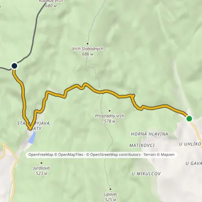 EasyOne-dayMarkedTopolecká Krúžok, state borderElevation profile378–650 m7 kmascent 384 m≈ 2.5 h walking
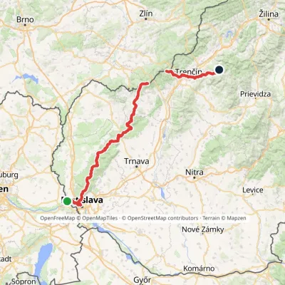 HardMulti-dayMarkedHrad Devín, parking Horná Poruba, U BrdárovElevation profile146–965 m190.1 kmascent 7 200 m
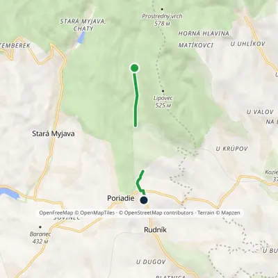 EasyOne-dayMarkedEducational Trail Brestovec Topoleckávia Stará Myjava, PoriadieElevation profile360–440 m2.2 kmascent 77 m≈ 45 min walking
Craft nearby
All craft places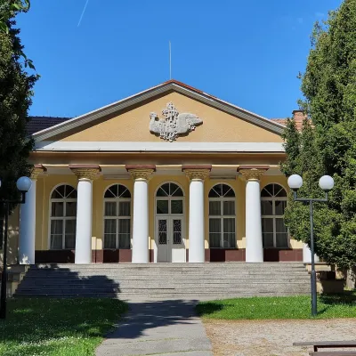 Water parks & thermal poolsSmrdáky: a hydrogen-sulphide spa for skin diseasesSmrdáky16 km from the trailSmrdáky is a small spa village in western Slovakia, on the edge of the Záhorie Lowland and the foothills of the White Carpathians, about 7 km from Senica and 80 km...
 Honey & meaderiesVčelovina meadery, Smolenice: mead and honey beerSmolenice41 km from the trailThis is where the Včelovina meadery works — “a small production with a big heart”, as its founders put it.
