Rozdziele – Biecz
Trail map
Route, springs and shelters: © OpenStreetMap contributors (ODbL) · elevation: Copernicus DEM © DLR e.V., © Airbus DS · Data & licences
About the trail
Route Rozdziele – Biecz. Has blue marking (regional route, PTTK). Waymarking data: OpenStreetMap (© OpenStreetMap contributors, ODbL).
Officially marked regional tourist route. The marking is blue, the sign is a horizontal stripe on a white background. Marked and maintained by: PTTK. Length of the route — 17.2 km. Location: mountain range — Low Beskids, Poland.
At a glance
A one-day route of 17.2 km with 457 m of ascent from Biecz to Rozdziele. Estimated walking time: about 5 h, not counting stops. Difficulty: moderate. Waymarking: blue.
Route stages
- 0–16 kmGentle ups and downs at 250–420 m
- 16–17 kmClimb of 180 m (up to 596 m)
Steepest kilometre: km 16–17, a climb of 150 m (≈15%).
Water and overnight stays
Our map shows no springs near the trail — bring your own water (at least 3 l).
When to go
The route can be walked most of the year; it is most comfortable from April to October.
Getting there
Start: Biecz. This is a one-way route: the finish is 12 km from the start in a straight line, so plan your way back in advance.
FAQ
- How long does the route take?
- Estimated walking time: about 5 h, not counting stops.
- Is there water on the route?
- Our map shows no springs near the trail — bring your own water (at least 3 l).
Comments
Trails nearby
All trails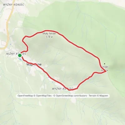
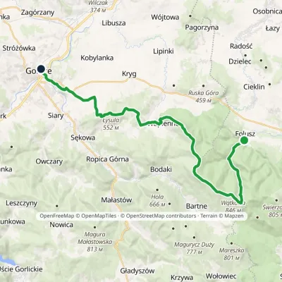
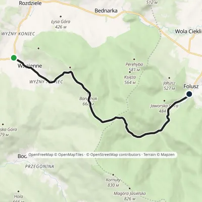
Craft nearby
All craft places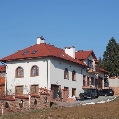 Wine & tastingsDwie Granice Vineyard, Przysieki near Jasło: cellar and tastings9.8 km from the trailWinnica Dwie Granice (“Two Borders”) lies in the village of Przysieki a few kilometres west of Jasło, on the Jasło Wine Route.
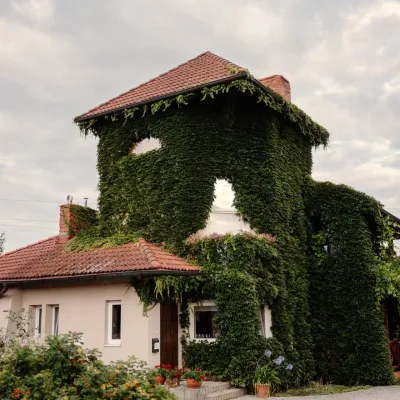 Wine & tastingsVanellus Vineyard, Jareniówka near Jasło: wine tastings14 km from the trailWinnica Vanellus is a small family vineyard in the village of Jareniówka, a few kilometres from the centre of Jasło.
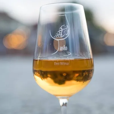 Markets & fairsInternational Wine Days in Jasło: a wine fair on the square16 km from the trailJasło is a small town in Podkarpacie that is often called one of the cradles of Poland's wine revival.
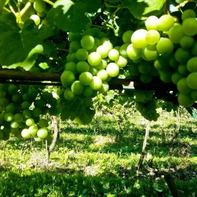 Wine & tastingsPiwnice Antoniego in Wola Lubecka: wine, honey and tastings21 km from the trailPiwnice Antoniego ("Antoni's Cellars") is a family winery and apiary in the village of Wola Lubecka in the Ryglice commune, where the Sandomierz Basin meets the first...
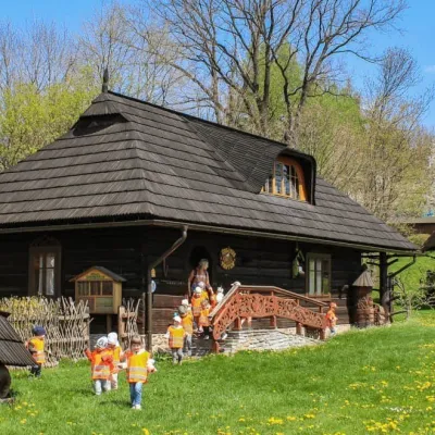 Honey & meaderiesSądecki Bartnik Beekeeping Farm, Stróże22 km from the trailSądecki Bartnik in the village of Stróże near Grybów is one of Poland's best-known beekeeping farms. The family business was founded in 1973 by Anna and Janusz...
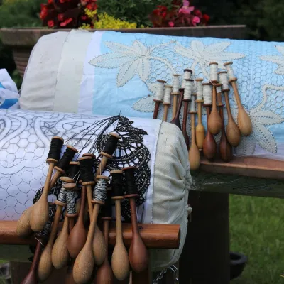 Crafts & workshopsKoronkarnia, Bobowa: bobbin lace by Ewa Szpila22 km from the trailKoronkarnia is the workshop and small shop of Ewa Szpila, one of the town's best-known lacemakers. She is not from Bobowa and is an accountant by profession: she...
