Tarnów – Wielki Rogacz
Trail map
Route, springs and shelters: © OpenStreetMap contributors (ODbL) · elevation: Copernicus DEM © DLR e.V., © Airbus DS · Data & licences
About the trail
Route Tarnów – Wielki Rogacz. Has blue marking (regional route, PTTK). Waymarking data: OpenStreetMap (© OpenStreetMap contributors, ODbL).
Officially marked regional tourist route. The marking is blue, the sign is a horizontal stripe on a white background. Marked and maintained by: PTTK. Length of the route — 191.5 km. Location: mountain range — Ostrivnyi Beskyd, Poland.
At a glance
A multi-day route of 191.5 km with 6,941 m of ascent from Tarnów to Wielki Rogacz. Estimated time: 8 days of 6–9 h of walking (about 59.5 h in total, not counting stops). Difficulty: hard. Waymarking: blue.
Route stages
- 0–87 kmGentle ups and downs at 200–530 m, past Ptasznik, Góra Skała, Styrki, Wierzchowina
- 87–101 kmClimb of 630 m to Jaworz (918 m)
- 101–110 kmDescent of 510 m (down to 403 m)
- 110–144 kmGentle ups and downs at 400–1,030 m, past Golców, Modyń, Plebański Wierch, Bystre
- 144–149 kmClimb of 720 m to Lubań (1,211 m)
- 149–191 kmGentle ups and downs at 440–1,200 m, past Trzy Korony, Wysokie Skałki, Jaworzyna, Mały Rogacz
Steepest kilometre: km 170–171, a descent of 300 m (≈29%), near Sokolica.
Water and overnight stays
Springs near the trail: at km 45, 51, 59, 106, 149, 167, 171, 177, 180 and 183. There are no springs between km 59 and 106 — carry at least 7.5 l of water.
Huts and shelters near the trail: Orlica Hut (km 171), Hut below Cyrhle (km 175), Bacówka Shelter, 821 m (km 177), Hut below Grúnik / Syhła (km 187).
A possible split into days:
- Day 1: km 0–26, ≈7.5 h — overnight: no shelter nearby on the map, bring a tent
- Day 2: km 26–51, ≈7.5 h — overnight: no shelter nearby on the map, bring a tent
- Day 3: km 51–77, ≈7.5 h — overnight: no shelter nearby on the map, bring a tent
- Day 4: km 77–100, ≈7.5 h — overnight: no shelter nearby on the map, bring a tent
- Day 5: km 100–124, ≈7.5 h — overnight: no shelter nearby on the map, bring a tent
- Day 6: km 124–146, ≈7.5 h — overnight: no shelter nearby on the map, bring a tent
- Day 7: km 146–171, ≈8 h — overnight: Orlica Hut (hut)
- Day 8: km 171–191, ≈7 h — finish
When to go
Best time: May to October. In winter deep snow is possible, so experience and winter gear are needed.
Getting there
Start: Tarnów. This is a one-way route: the finish is 69 km from the start in a straight line, so plan your way back in advance.
FAQ
- How long does the route take?
- Estimated time: 8 days of 6–9 h of walking (about 59.5 h in total, not counting stops).
- Is there water on the route?
- Springs near the trail: at km 45, 51, 59, 106, 149, 167, 171, 177, 180 and 183. There are no springs between km 59 and 106 — carry at least 7.5 l of water.
- Where can I stay overnight?
- Huts and shelters near the trail: Orlica Hut (km 171), Hut below Cyrhle (km 175), Bacówka Shelter, 821 m (km 177), Hut below Grúnik / Syhła (km 187). Possible overnight stops: Orlica Hut (km 171).
Water and shelter on the route
- Drinking water below Góra Skałakm 45.1 from the start · Not verified · 268 m
- Spring below Styrekkm 50.2 from the start · 150 m off the path · Not verified · 348 m
- Spring below Kamieniec (east slope)km 58.7 from the start · 190 m off the path · Not verified · 502 m
- Spring below Sarczynkm 105.2 from the start · Not verified · 670 m
- Drinking water below Lubańkm 148.5 from the start · Not verified · 1 156 m
- Pieniński Potok Springkm 165.6 from the start · Not verified · 678 m
- Spring below Biała Skałakm 169.7 from the start · Not verified · 438 m
- Orlica Hutkm 170.2 from the start · Standing · 457 m
- Hut below Cyrhlekm 174.1 from the start · 70 m off the path · Not verified · 734 m
- Spring below Wysoki Wierch (north slope)km 175.6 from the start · Not verified · 821 m
- Bacówka Shelter, 821 mkm 175.7 from the start · Not verified · 821 m
- Spring below Vysoké Skalky / Wysokakm 179 from the start · 130 m off the path · Not verified · 886 m
- Spring below Watriskokm 181.9 from the start · 220 m off the path · Not verified · 902 m
- Hut below Grúnik / Syhłakm 185.3 from the start · 150 m off the path · Not verified · 917 m
Comments
Trails nearby
All trails
Craft nearby
All craft places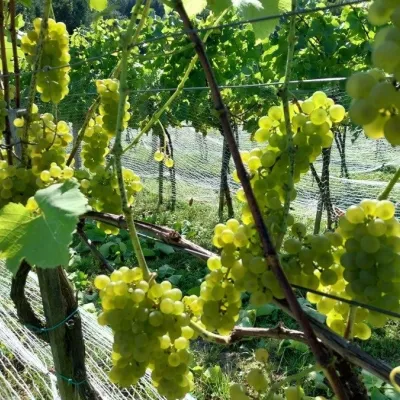 Wine & tastingsWinnica Jakubowa, Karwodrza: intimate wine tastings11 km from the trailWinnica Jakubowa is a small craft farm in the village of Karwodrza near Tuchów, on the south-west slope of one of the hills of the Ciężkowice Foothills (Pogórze...
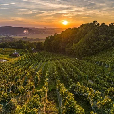 Wine & tastingsWinnica Dąbrówka near Tarnów: wines named after Polish royals12 km from the trailWinnica Dąbrówka lies in the village of Dąbrówka Szczepanowska, Pleśna municipality, 12 km from Tarnów, where the Sandomierz Basin meets the Western Carpathian foothills.
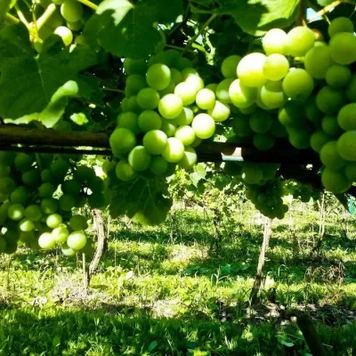 Wine & tastingsPiwnice Antoniego in Wola Lubecka: wine, honey and tastings18 km from the trailPiwnice Antoniego ("Antoni's Cellars") is a family winery and apiary in the village of Wola Lubecka in the Ryglice commune, where the Sandomierz Basin meets the first...
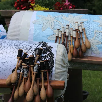 Crafts & workshopsKoronkarnia, Bobowa: bobbin lace by Ewa Szpila33 km from the trailKoronkarnia is the workshop and small shop of Ewa Szpila, one of the town's best-known lacemakers. She is not from Bobowa and is an accountant by profession: she...
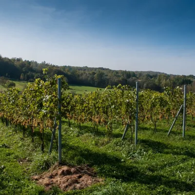 Wine & tastingsWinnica Chronów: natural wines where the Island Beskids begin33 km from the trailWinnica Chronów lies where the Island Beskids (Beskid Wyspowy) begin, on the edge of the Wiśnicz-Lipnica Landscape Park, in the small village of Chronów in the Nowy...
 Markets & fairsBobbin Lace Festival in Bobowa: lace fair and workshops33 km from the trailBobowa — one of the oldest settlements in the Biała river valley between Tarnów and Nowy Sącz, about 25 km north-west of Gorlice — is considered Poland's capital of...
