Czerteż
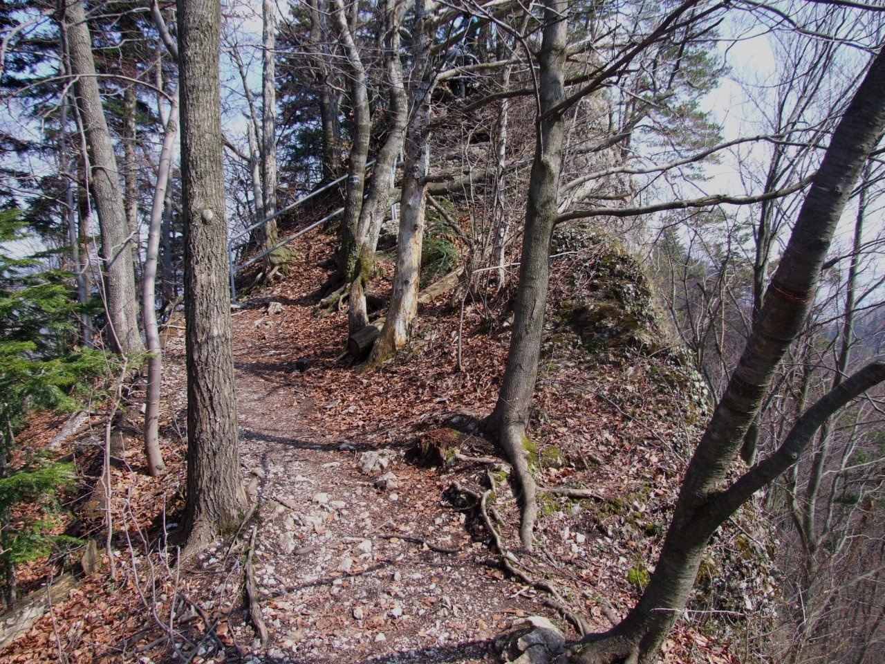
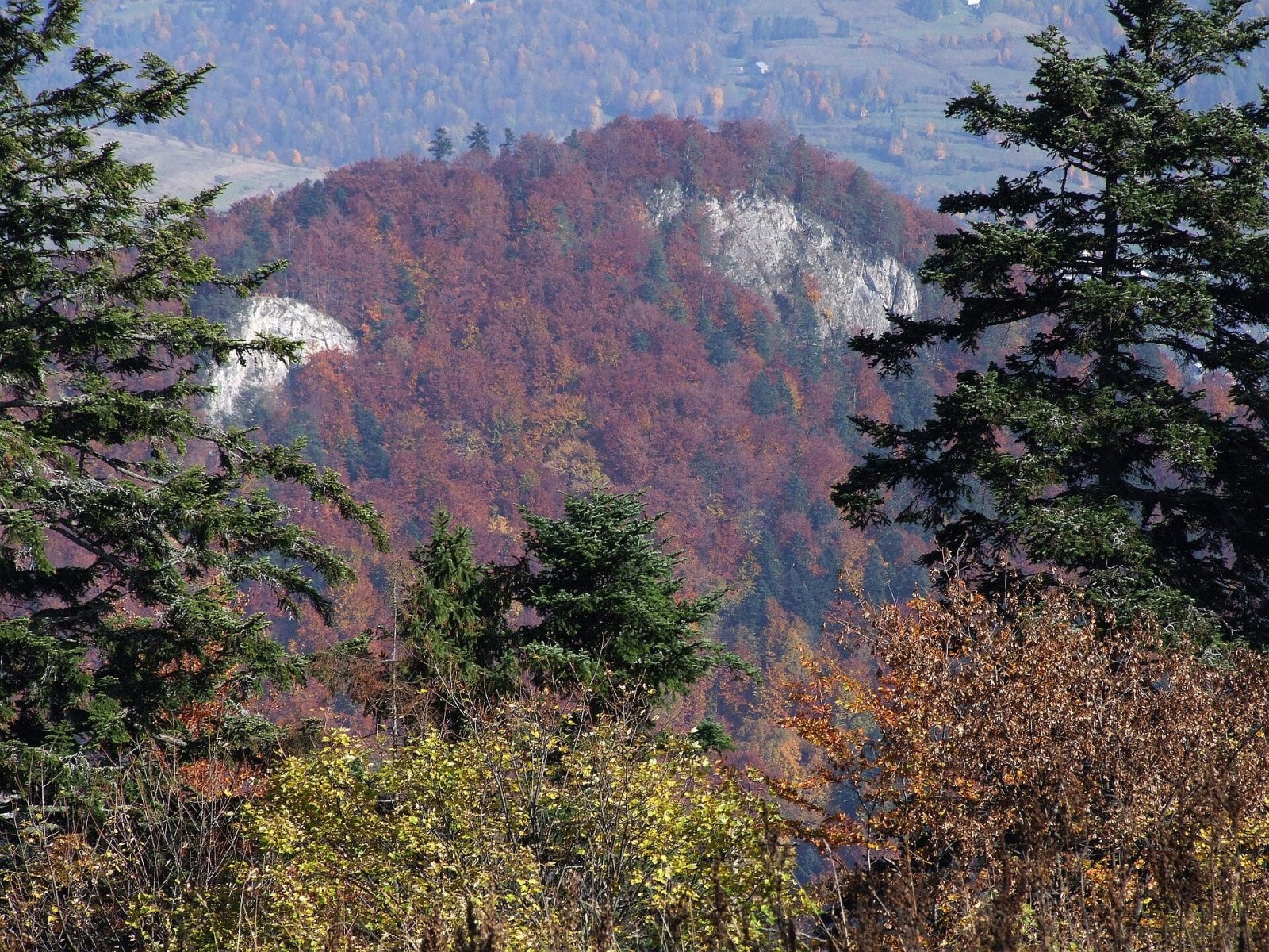
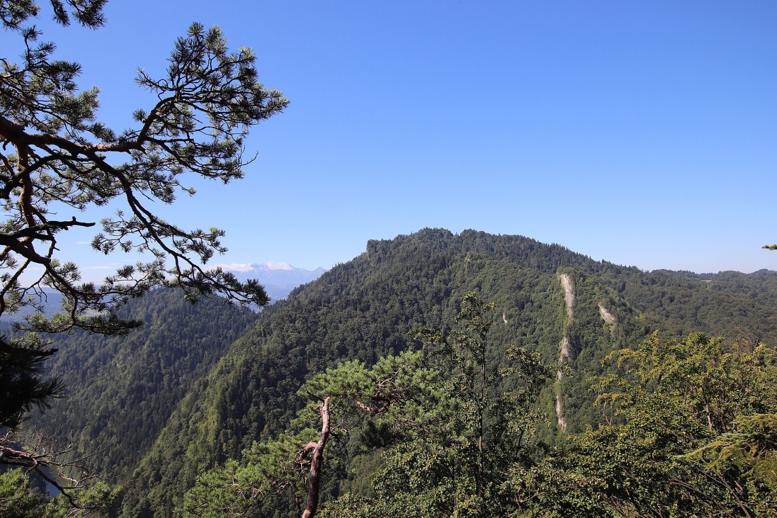
Czerteż is a 774 m summit in the Central Pieniny, the highest point of the Pieninki ridge and of the famous Sokola Perć path. It lies between Czertezik (772 m), only about 150 m away, and Ociemny Wierch (740 m), from which it is separated by the Burzana pass (724 m). The northern slopes fall to the Dunajec, the southern ones to the deep, wild valley of the Pieniński Potok, which divides the Pieninki from the Trzy Korony massif. The hill lies in the Pieniny National Park within Krościenko nad Dunajcem (Nowy Targ County, Lesser Poland); central Krościenko is about 1.8 km to the north-west.
The peak was also once called Czertez or Czertezy. The name comes from a nearby glade, now overgrown, and has Ruthenian (Lemko) roots: “czerteż”, “czertiż” means a forest clearing.
How to get there / routes
The blue Main Pieniny Trail crosses the rocky summit and ridge of Czerteż on the section known as the Sokola Perć: from Sokolica via the Sosnów pass and Czertezik to Bajków Groń, where it joins the yellow path from Krościenko to Sromowce Niżne. From Szczawnica the route starts with the ferry across the Dunajec. It is about 45 minutes from Sokolica to Czerteż, about 10 minutes from Czertezik, and another 45 minutes from Czerteż to Bajków Groń.
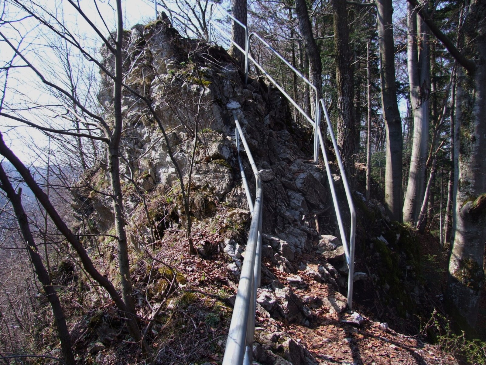
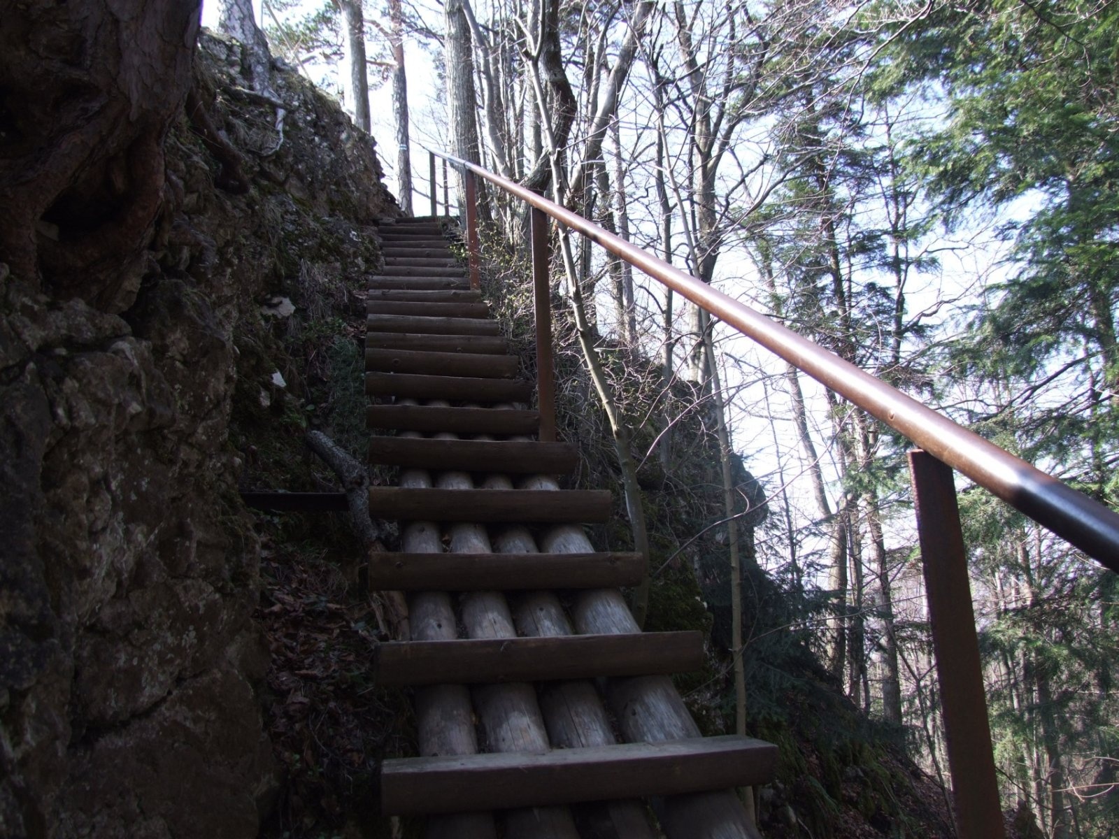
- Just below the summit there are wooden steps and a short, steep rock step with handrails; dangerous sections of the crest are fenced with metal barriers.
- If you dislike rock and drops, you can bypass the summit on the green trail: a comfortable forest path from Krościenko reaches the Burzana pass and traverses the northern slopes of Czerteż to the saddle between Czerteż and Czertezik.
What you can see from the summit
The top is wooded, but its rocks give a view of Sokolica, the Trzy Korony massif (including Golica) and the Pieniny Gorge of the Dunajec, with the river cutting a deep canyon through the range below.
Nature and history
Czerteż is built of crinoidal limestone. On the south it is cut by a steep cliff about 170 m high, dotted with relict Scots pines over 100 years old yet only 5–8 m tall, and with grassland of pale fescue. The Pieninki as a whole drop to the Dunajec in walls 300–345 m high; their glades keep the typical Pieniny flora and the Apollo butterfly, and the forest is Carpathian beech wood with spruce and sycamore. Most of the Pieninki was bought from local farmers as early as 1930, when the Pieniny National Park was being created.
The Sokola Perć was created in 1926 by Father Walenty Gadowski, the author of the Tatra Orla Perć, who linked existing paths and laid out several new ridge sections. At first it was called the “Pieniny Orla Perć”; the present name appeared in print in 1927.
Safety, season and rules
The Czerteż crest is exposed in places, and the steps and limestone are very slippery after rain and in winter – hold the railings and keep away from the cliff edge. In a thunderstorm it is better to bypass the summit on the green path along the northern slope. Entry to the Pieniny National Park is free, but strict rules apply: walk only on marked trails (no climbing on rocks, no stepping onto meadows or beyond railings), stay in the park only in daytime – from an hour before sunrise to an hour after sunset – and do not bring dogs, fly drones, camp or light fires. The Szczawnica ferry runs only in the warm season (roughly May to October according to guides); in winter the Pieninki are easier to reach from Krościenko.
The Pieniny are covered by the mountain rescue service GOPR (Podhale group, stations in Szczawnica and Krościenko): call 985 or +48 601 100 300, or 112; installing the «Ratunek» app is a good idea.
Interesting facts
- Czerteż is 27 m higher than neighbouring Sokolica (747 m), yet Sokolica is far more popular.
- The author of the Sokola Perć is the same priest who created the hardest path in the Tatras, the Orla Perć.
Photos: Jerzy Opioła, CC BY-SA 4.0; Jerzy Opioła, CC BY-SA 4.0; Jerzy Opioła, CC BY-SA 4.0; Jerzy Opioła, CC BY-SA 4.0; Andrzej Otrębski, CC BY-SA 4.0; Andrzej Otrębski, CC BY-SA 4.0 — Wikimedia Commons.
Getting there from Ukraine
Border crossings
- Krakovets – Korczowa — road, 24/7
- Shehyni – Medyka — road, 24/7 Pedestrian crossing is not confirmed by the Ukrainian border service — check dpsu.gov.ua before the trip.
- Smilnytsia – Krościenko — road, 24/7
- Hrushiv – Budomierz — road, 24/7
- Mostyska – Przemyśl (rail) — rail, 24/7
By car
Lviv – Szczawnica ≈384 km, ≈5 h 25 min without queues: M-10 → Krakovets – Korczowa → A4 to Brzesko (≈198 km) → DK75 to Nowy Sącz → DW969 via Stary Sącz and Łącko to Krościenko nad Dunajcem → Szczawnica. ≈306 km, ≈4 h from the border.
Checked 23.10.2026; border crossing hours and timetables change — check before you travel.
Location on the map
Water and shelter nearby
- Drinking water below Długi Gronik810 m · Not verified · 487 m
- Drinking water below Gródek1.6 km · Not verified · 424 m
- Pieniński Potok Spring1.6 km · Not verified · 678 m
- Spring below Biała Skała1.7 km · Not verified · 438 m
- Orlica Hut1.9 km · Standing · 457 m
- Ziemroźka Mineral Spring2 km · Not verified · 424 m
- Drinking water below Klejowa2.2 km · Not verified · 463 m
- Trzy Korony Hut2.5 km · Standing · 470 m
- Drinking water below Kláštorná hora (west slope), 464 m2.6 km · Not verified · 464 m
- Pitoniakówka Mineral Spring2.8 km · Has water · 485 m
- Drinking water below Kláštorná hora (west slope), 459 m2.8 km · Not verified · 459 m
- Maria Spring, 525 m2.9 km · Not verified · 525 m
- Stefan i Michalina Spring3 km · Not verified · 511 m
Comments
Trails nearby
All trails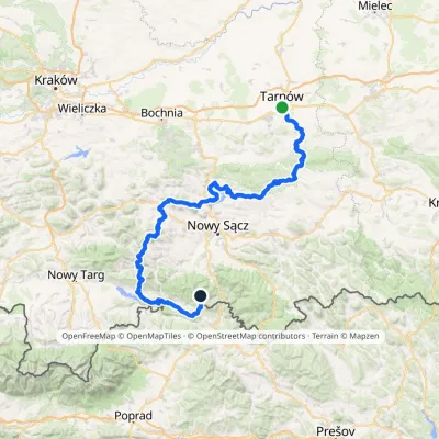 HardMulti-dayMarkedTarnów Wielki RogaczElevation profile206–1 211 m191.5 kmascent 6 941 munder 1 km from Czerteż
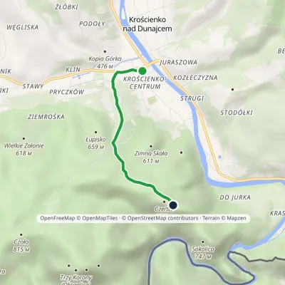 EasyOne-dayMarkedKrościenko nad Dunajcem BurzanaElevation profile424–774 m3 kmascent 352 m≈ 1.5 h walkingunder 1 km from Czerteż
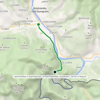 EasyOne-dayMarkedKrościenko nad Dunajcem Przełęcz SosnówElevation profile424–682 m3 kmascent 262 m≈ 1.5 h walkingunder 1 km from Czerteż
Nearby attractions
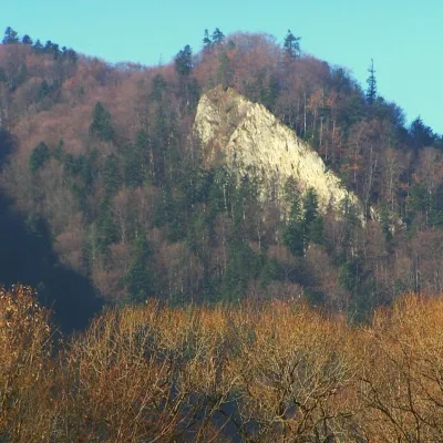 PeakCzertezikKrościenko nad Dunajcemaltitude 772 munder 1 km from CzerteżCzertezik is a 772 m summit in the Central Pieniny, the second-highest top of the Pieninki ridge and one of the best viewpoints over the middle part of the Pieniny...
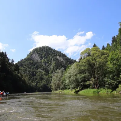 PeakSokolicaKrościenko nad Dunajcemaltitude 747 munder 1 km from Czerteż2 trails to the topSokolica is a 747 m rocky summit in the north-eastern part of the Central Pieniny, in the so-called Pieninki.
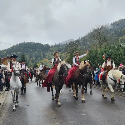 Markets & fairsAutumn Redyk in Szczawnica: sheep drive, oscypek and shepherdsSzczawnica1.9 km from CzerteżRedyk is an old Carpathian shepherding custom: in spring the flocks are driven up to the mountain pastures (hale), and in autumn, after the cheese-making season, they...
Craft nearby
All craft places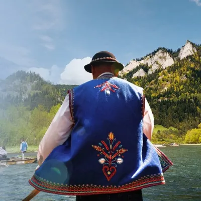 Ethno tours & guidesGoral raftsmen of Červený Kláštor: wooden-raft trip on the DunajecČervený Kláštor3.3 km from CzerteżBetween Červený Kláštor and Lesnica the Dunajec cuts a deep, winding gorge through the limestone Pieniny, and here the river becomes the border between Slovakia and...
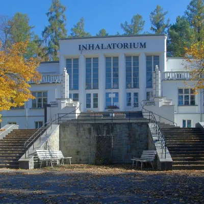 Water parks & thermal poolsSzczawnica spa: pump room, waters and the InhalatoriumSzczawnica4.1 km from CzerteżThe Szczawnica spa (Uzdrowisko Szczawnica) is all about water and air: in the valley of the Grajcarek stream, between the Pieniny and the Beskid Sądecki at 430–500 m,...
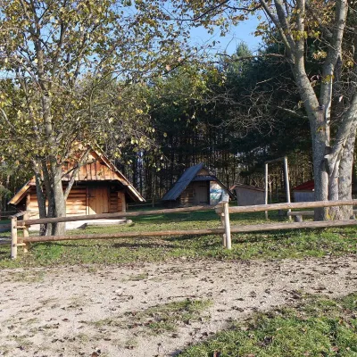 Cheese dairies & pasturesMajerz Meadow Shepherd's Hut, Pieniny National Park: oscypek and żętycaKrośnica7.2 km from CzerteżMajerz meadow (hala) sits on a 689 m hill between Czorsztyn-Nadzamcze and the village of Hałuszowa, above Lake Czorsztyn.
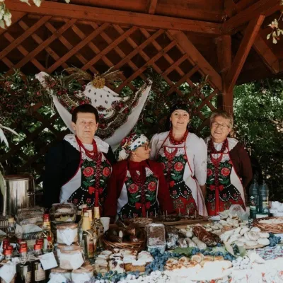 Markets & fairsFruit Harvest Festival in Łącko: village stands, fruit and folkloreŁącko16 km from CzerteżŁącko, in the Dunajec valley between Stary Sącz and the Pieniny, is one of Poland's best-known fruit-growing areas: the slopes around are covered with apple, pear and...
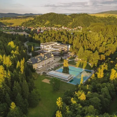 Water parks & thermal poolsVyšné Ružbachy Spa: Izabela Mountain Pools and Indoor Thermal PoolVyšné Ružbachy16 km from CzerteżVyšné Ružbachy is one of Slovakia’s oldest spas. It lies on the south-eastern slope of the Spišská Magura at about 617 m, surrounded by coniferous forest that merges...
 Craft producersNestville Distillery, Hniezdne — Home of the First Slovak WhiskyHniezdne20 km from CzerteżThis tradition is the basis for BGV, a company founded in 2001, which built the Nestville Distillery here.
