Czertezik
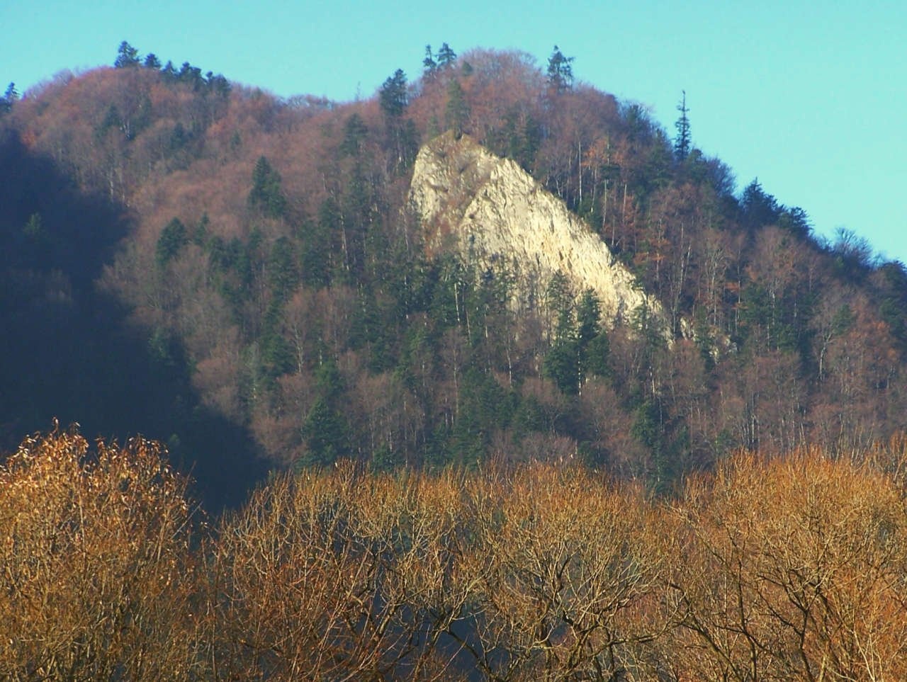
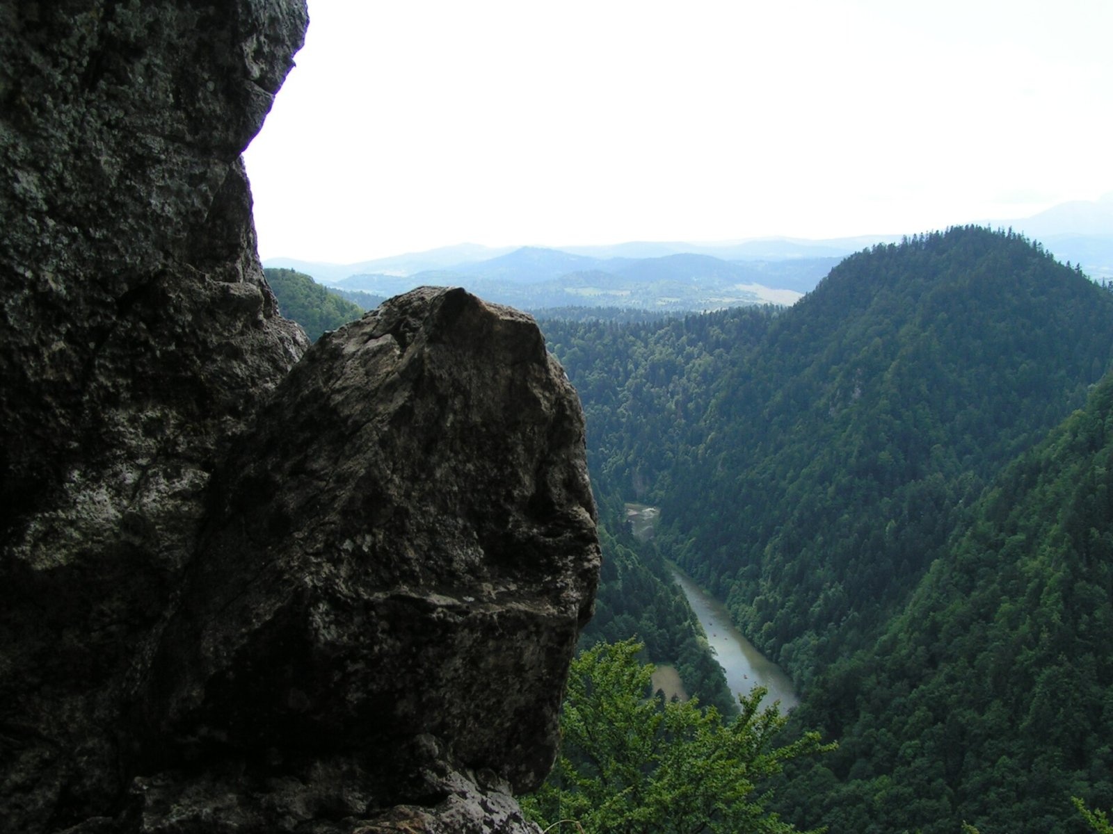
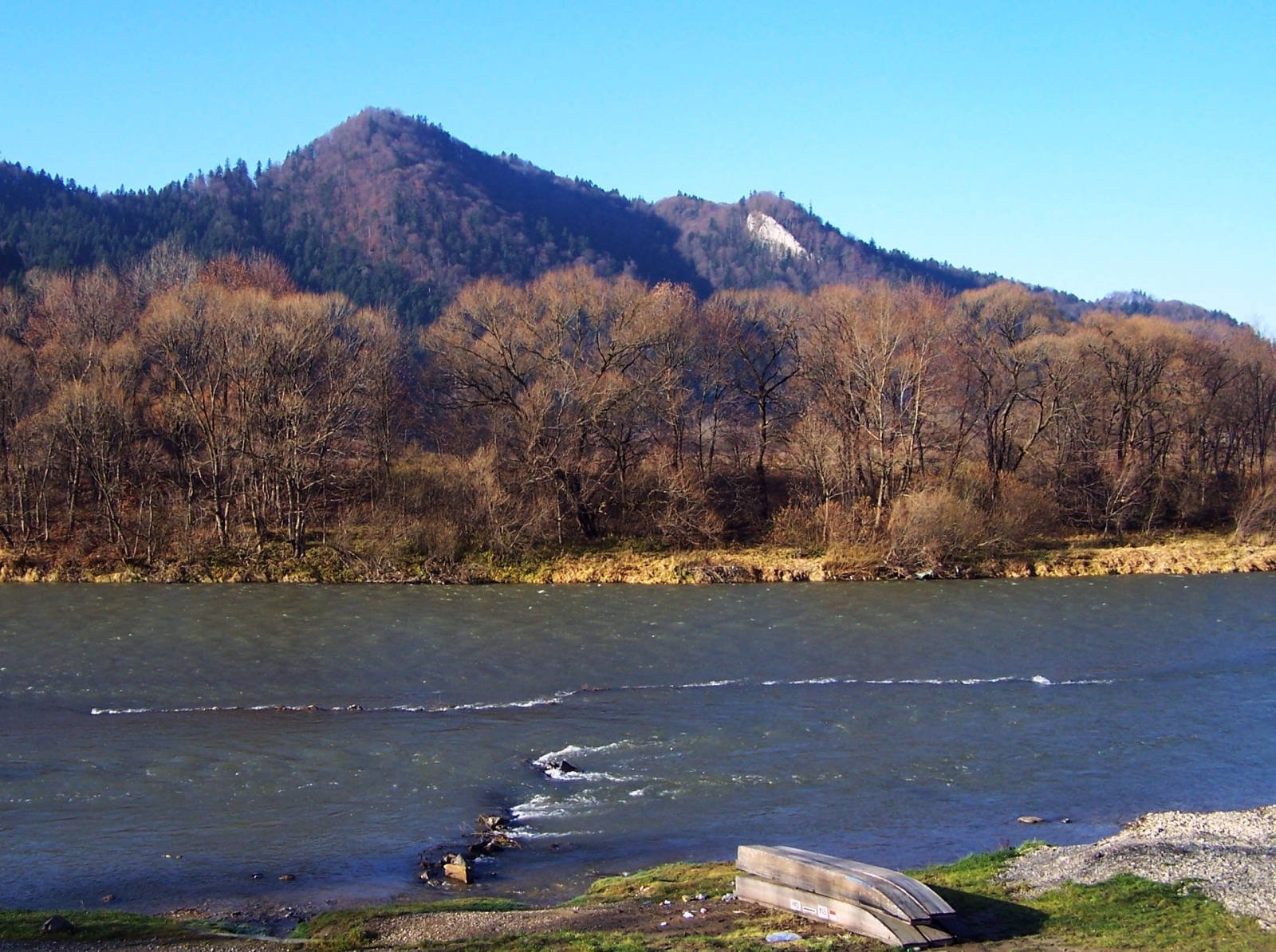
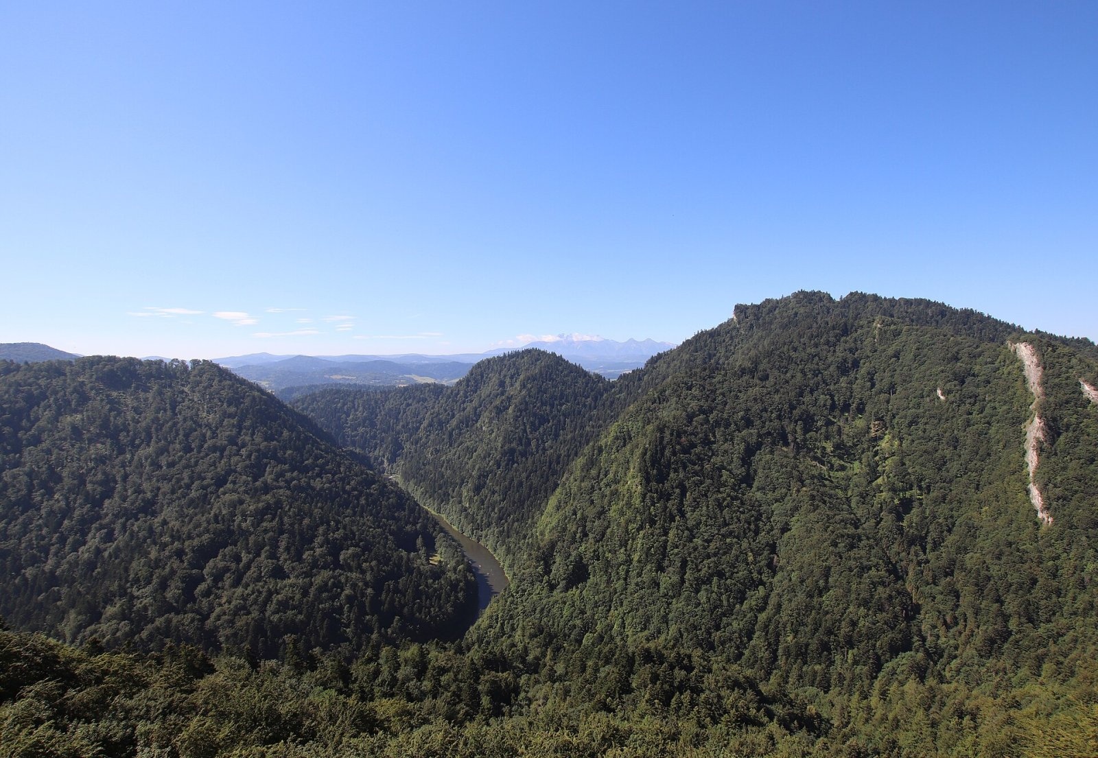
Czertezik is a 772 m summit in the Central Pieniny, the second-highest top of the Pieninki ridge and one of the best viewpoints over the middle part of the Pieniny Gorge of the Dunajec. It is a long, narrow summit: about 150 m to the west it adjoins slightly higher Czerteż (774 m), while to the south-east the Sosnów pass (650 m) separates it from Sokolica. The hill lies in the Pieniny National Park within Krościenko nad Dunajcem (Nowy Targ County, Lesser Poland); central Krościenko is about 1.9 km to the north-west.
The name comes from the Czertezik glade that once existed on its slopes. Linguists derive it from Vlach certez, “bright, clear, thinned out”, while Ruthenian “czerteż” means burnt or cleared forest.
How to get there / routes
The blue Main Pieniny Trail crosses the summit on the Sokola Perć section (from Sokolica to Bajków Groń). From the Sosnów pass the path climbs steeply in zigzags to Czertezik in 20–30 minutes; just beyond the top there is a junction with a green path to Krościenko.
- From Szczawnica on the blue trail via the Dunajec ferry and Sokolica: about 1 h 30 min (down 1 h 15 min); from Sokolica about 30 min.
- From Trzy Korony on the blue trail via Zamkowa Góra, Bajków Groń and Czerteż: about 2 h 05 min (2 h 15 min in the opposite direction).
- From Krościenko nad Dunajcem on the green trail: about 1 h 20 min (down 1 h 05 min).
What you can see from the summit
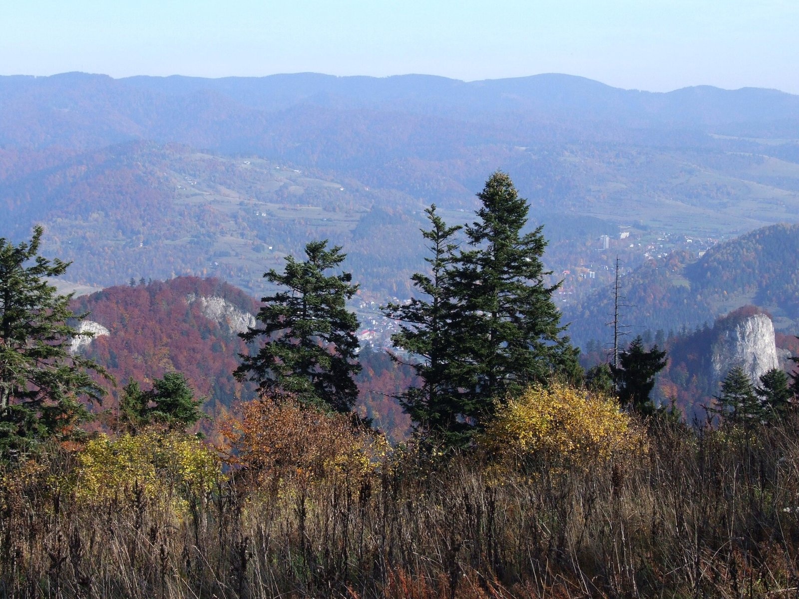
There is a viewpoint on the summit, with the cliff below secured by a metal barrier. It looks over the middle section of the Pieniny Gorge of the Dunajec – the deep canyon where the river cuts through the Pieniny – with the Trzy Korony massif across the valley of the Pieniński Potok.
Nature and history
The upper part of the hill is built of crinoidal limestone. The southern slope is steep and rocky in places, falling to the Dunajec and to the deep valley of the Pieniński Potok that divides the Pieninki from the Trzy Korony massif. Below the summit there is a cliff 35–40 m high, and lower down steep ground with sparse pine-beech forest. About 50 m below the top a small cave 6 m long was discovered in these slopes in 1953. The northern slopes are covered with beech-fir forest.
Plants very rare in Poland have been recorded on Czertezik – small-leaved helleborine and the shrub Spiraea media – as well as single yew trees. The Pieninki as a whole are a land of relict pines on rocks, dry grassland and glades where the Apollo butterfly lives.
Tourists climbed Czertezik as early as about 1900, and in 1906 a trail was marked to the top. Today's Sokola Perć was laid out in 1926 by Father Walenty Gadowski, the author of the Tatra Orla Perć.
Safety, season and rules
The climb from the Sosnów pass is steep, and limestone and roots are slippery after rain and in winter. At the viewpoint never step beyond the barrier – there is a cliff below. In a thunderstorm do not linger on the open crest: the green path to Krościenko offers a quick descent. Entry to the Pieniny National Park is free, but strict rules apply: walk only on marked trails (no climbing on rocks, no stepping onto meadows or beyond railings), stay in the park only in daytime – from an hour before sunrise to an hour after sunset – and do not bring dogs, fly drones, camp or light fires. The Szczawnica ferry runs only in the warm season (roughly May to October according to guides); in winter it is easier to start from Krościenko.
The Pieniny are covered by the mountain rescue service GOPR (Podhale group, stations in Szczawnica and Krościenko): call 985 or +48 601 100 300, or 112; installing the «Ratunek» app is a good idea.
Interesting facts
- Czertezik and Czerteż are “twin” summits with names of the same origin, differing in height by only 2 m.
- A marked trail to Czertezik existed from 1906 – twenty years before the Sokola Perć.
Photos: Jerzy Opioła, CC BY-SA 3.0; Andrzej Harassek, CC BY-SA 3.0; Jerzy Opioła, CC BY-SA 3.0; Jerzy Opioła, CC BY-SA 4.0; Andrzej Otrębski, CC BY-SA 4.0; Andrzej Otrębski, CC BY-SA 4.0 — Wikimedia Commons.
Getting there from Ukraine
Border crossings
- Krakovets – Korczowa — road, 24/7
- Shehyni – Medyka — road, 24/7 Pedestrian crossing is not confirmed by the Ukrainian border service — check dpsu.gov.ua before the trip.
- Smilnytsia – Krościenko — road, 24/7
- Hrushiv – Budomierz — road, 24/7
- Mostyska – Przemyśl (rail) — rail, 24/7
By car
Lviv – Szczawnica ≈384 km, ≈5 h 25 min without queues: M-10 → Krakovets – Korczowa → A4 to Brzesko (≈198 km) → DK75 to Nowy Sącz → DW969 via Stary Sącz and Łącko to Krościenko nad Dunajcem → Szczawnica. ≈306 km, ≈4 h from the border.
Checked 23.10.2026; border crossing hours and timetables change — check before you travel.
Location on the map
Water and shelter nearby
- Drinking water below Długi Gronik680 m · Not verified · 487 m
- Spring below Biała Skała1.5 km · Not verified · 438 m
- Drinking water below Gródek1.7 km · Not verified · 424 m
- Pieniński Potok Spring1.7 km · Not verified · 678 m
- Orlica Hut1.8 km · Standing · 457 m
- Ziemroźka Mineral Spring2.1 km · Not verified · 424 m
- Drinking water below Klejowa2.1 km · Not verified · 463 m
- Trzy Korony Hut2.5 km · Standing · 470 m
- Drinking water below Kláštorná hora (west slope), 464 m2.6 km · Not verified · 464 m
- Pitoniakówka Mineral Spring2.7 km · Has water · 485 m
- Drinking water below Kláštorná hora (west slope), 459 m2.8 km · Not verified · 459 m
- Spring below Klejowa (south slope)3 km · Not verified · 438 m
- Maria Spring, 525 m3 km · Not verified · 525 m
Comments
Trails nearby
All trails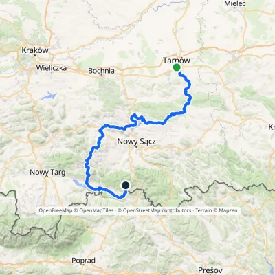 HardMulti-dayMarkedTarnów Wielki RogaczElevation profile206–1 211 m191.5 kmascent 6 941 munder 1 km from Czertezik
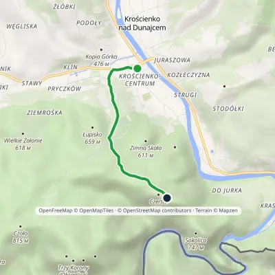 EasyOne-dayMarkedKrościenko nad Dunajcem BurzanaElevation profile424–774 m3 kmascent 352 m≈ 1.5 h walkingunder 1 km from Czertezik
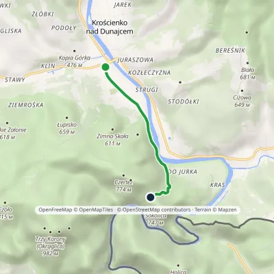 EasyOne-dayMarkedKrościenko nad Dunajcem Przełęcz SosnówElevation profile424–682 m3 kmascent 262 m≈ 1.5 h walkingunder 1 km from Czertezik
Nearby attractions
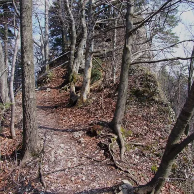 PeakCzerteżaltitude 774 munder 1 km from CzertezikCzerteż is a 774 m summit in the Central Pieniny, the highest point of the Pieninki ridge and of the famous Sokola Perć path.
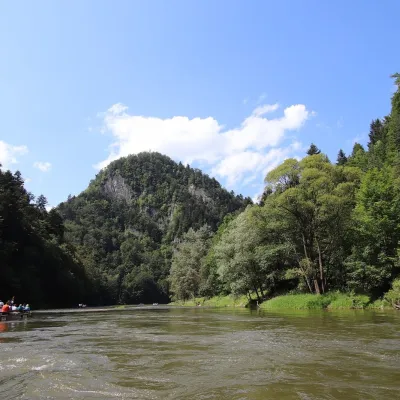 PeakSokolicaaltitude 747 munder 1 km from Czertezik2 trails to the topSokolica is a 747 m rocky summit in the north-eastern part of the Central Pieniny, in the so-called Pieninki.
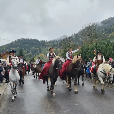 Markets & fairsAutumn Redyk in Szczawnica: sheep drive, oscypek and shepherds1.8 km from CzertezikRedyk is an old Carpathian shepherding custom: in spring the flocks are driven up to the mountain pastures (hale), and in autumn, after the cheese-making season, they...
Craft nearby
All craft places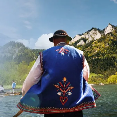 Ethno tours & guidesGoral raftsmen of Červený Kláštor: wooden-raft trip on the Dunajec3.3 km from CzertezikBetween Červený Kláštor and Lesnica the Dunajec cuts a deep, winding gorge through the limestone Pieniny, and here the river becomes the border between Slovakia and...
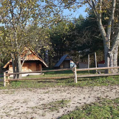 Cheese dairies & pasturesMajerz Meadow Shepherd's Hut, Pieniny National Park: oscypek and żętyca7.4 km from CzertezikMajerz meadow (hala) sits on a 689 m hill between Czorsztyn-Nadzamcze and the village of Hałuszowa, above Lake Czorsztyn.
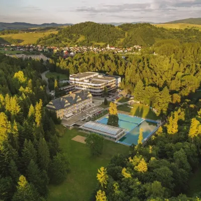 Water parks & thermal poolsVyšné Ružbachy Spa: Izabela Mountain Pools and Indoor Thermal Pool16 km from CzertezikVyšné Ružbachy is one of Slovakia’s oldest spas. It lies on the south-eastern slope of the Spišská Magura at about 617 m, surrounded by coniferous forest that merges...
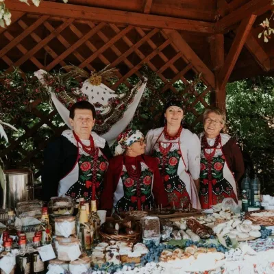 Markets & fairsFruit Harvest Festival in Łącko: village stands, fruit and folklore16 km from CzertezikŁącko, in the Dunajec valley between Stary Sącz and the Pieniny, is one of Poland's best-known fruit-growing areas: the slopes around are covered with apple, pear and...
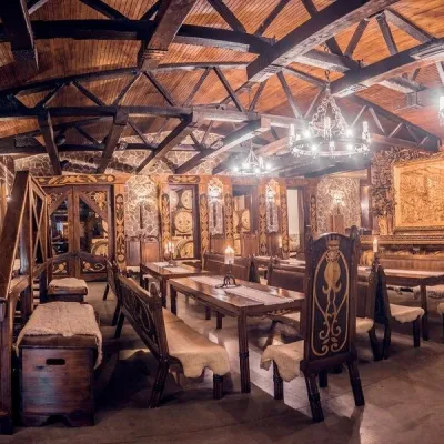 Craft producersNestville Distillery, Hniezdne — Home of the First Slovak Whisky20 km from CzertezikThis tradition is the basis for BGV, a company founded in 2001, which built the Nestville Distillery here.
 Craft producersCastle Distillery below Ľubovňa Castle: fruit spirits and tastings22 km from CzertezikStará Ľubovňa is a town in northern Spiš, overlooked by Ľubovňa Castle. For more than three and a half centuries Ľubovňa was one of the Spiš towns pledged to the...
