Herľany – Dargov Pass
Trail map
Route, springs and shelters: © OpenStreetMap contributors (ODbL) · elevation: Copernicus DEM © DLR e.V., © Airbus DS · Data & licences
About the trail
Route Herľany – Dargov Pass. Has blue marking (regional route №2840, KST). Waymarking data: OpenStreetMap (© OpenStreetMap contributors, ODbL).
Officially marked regional tourist route No. 2840. The marking is blue, the sign is a horizontal stripe on a white background. Marked and maintained by: KST. Length of the route — 14.7 km. Location: mountain range — Zemplén, Slovakia.
At a glance
A one-day route of 14.7 km with 594 m of ascent from Herľany to Dargov Pass. Estimated walking time: about 4.5 h, not counting stops. Difficulty: moderate. Waymarking: blue.
Route stages
- 0–4 kmGentle ups and downs at 380–440 m
- 4–8 kmClimb of 430 m to Lazy (859 m)
- 8–12 kmDescent of 380 m (down to 476 m)
- 12–15 kmGentle ups and downs at 430–480 m
Steepest kilometre: km 5–6, a climb of 210 m (≈21%).
Water and overnight stays
Springs near the trail: at km 0, 2, 3 and 12.
Huts and shelters near the trail: Hut under Mošník Saddle (km 7).
When to go
The route can be walked most of the year; it is most comfortable from April to October.
Getting there
Start: Herľany. This is a one-way route: the finish is 8 km from the start in a straight line, so plan your way back in advance.
FAQ
- How long does the route take?
- Estimated walking time: about 4.5 h, not counting stops.
- Is there water on the route?
- Springs near the trail: at km 0, 2, 3 and 12.
- Where can I stay overnight?
- Huts and shelters near the trail: Hut under Mošník Saddle (km 7).
Water and shelter on the route
- Nový prameň Spring, 382 mkm 0.1 from the start · 80 m off the path · Not verified · 382 m
- Spring below Životy (south slope), 386 mkm 2.2 from the start · Not verified · 386 m
- Spring below Životy (south-east slope)km 3.4 from the start · 210 m off the path · Not verified · 422 m
- Spring below Holubia horakm 4 from the start · Not verified · 462 m
- Hut under Mošník Saddlekm 6.7 from the start · Not verified · 795 m
- Spring below Pecekm 12 from the start · 160 m off the path · Not verified · 467 m
Comments
Trails nearby
All trails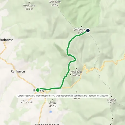
Craft nearby
All craft places Crafts & workshopsMacák Pottery on Košice’s Craft Lane: ceramics and coursesHrašovík18 km from the trailHrnčiarska Street in Košice old town is known as the "Craft Lane" (Ulička remesiel): craftspeople work in small houses below the walls of the former town fortifications.
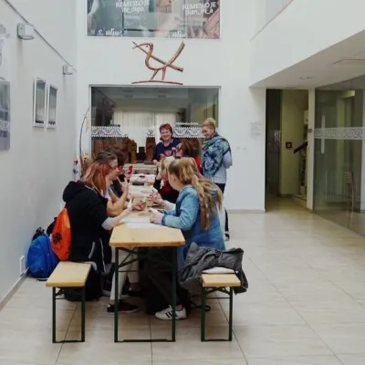 Crafts & workshopsÚĽUV Craft Centre Košice: craft workshops and folk-art shopBaška18 km from the trailÚĽUV (Ústredie ľudovej umeleckej výroby, the Centre for Folk Art Production) is a state institution that has looked after Slovak folk crafts since 1945: it keeps a...
 Craft beer & breweriesHerrenwald craft brewery, Malá Ida: tour with the brewerMalá Ida26 km from the trailThe Herrenwald brewery stands in its Panský les ("Lords’ Wood") quarter, from whose German name it takes its own.
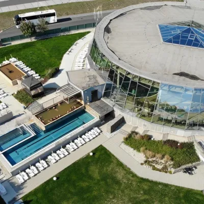 Water parks & thermal poolsThermalpark Šírava in Kaluža, Zemplínska ŠíravaKaluža39 km from the trailThermalpark Šírava (Thermalpark ŠÍRAVA) stands in the village of Kaluža on the northern shore of the Zemplínska Šírava — a large reservoir in eastern Slovakia.
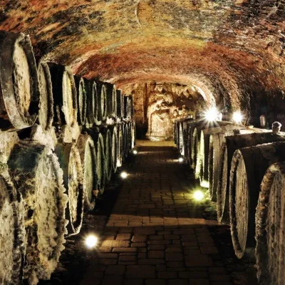 Wine & tastingsJ&J Ostrožovič Winery, Veľká Tŕňa: Tokaj tasting 13 m undergroundVeľká Tŕňa40 km from the trailFew people realise that Tokaj is not only a Hungarian wine. A small part of the historic Tokaj wine region lies in Slovakia: seven villages on the southern slopes of...
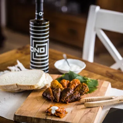 Wine & tastingsTokaj Macik Winery, Malá Tŕňa: organic Tokaj and cellar tastingsVeľká Tŕňa41 km from the trailMalá Tŕňa is the heart of Slovak Tokaj: its Medzipivničná ("Between-the-Cellars") Street runs along the stone portals of old cellars.
