Radziechowy – Hala Radziechowska
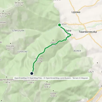
Trail map
Route, springs and shelters: © OpenStreetMap contributors (ODbL) · elevation: Copernicus DEM © DLR e.V., © Airbus DS · Data & licences
About the trail
Route Radziechowy – Hala Radziechowska. Has blue marking (regional route, PTTK). Waymarking data: OpenStreetMap (© OpenStreetMap contributors, ODbL).
Officially marked regional tourist route. Marking is blue, sign — horizontal stripe on a white background. Marked and maintained by: PTTK. Length of the route — 5.9 km. Location: mountain range — Silesian Beskids, Poland.
At a glance
A short route of 5.9 km with 1 m of ascent and 505 m of descent from Radziechowy to Hala Radziechowska. Estimated walking time: about 1.5 h, not counting stops. Difficulty: easy. Waymarking: blue.
Route stages
- 0–6 kmDescent of 490 m to Hala Radziechowska
Steepest kilometre: km 2.5–3.5, a descent of 170 m (≈17%).
Water and overnight stays
Our map shows no springs near the trail — bring your own water (at least 1 l).
When to go
Best time: May to October. In winter deep snow is possible, so experience and winter gear are needed.
Getting there
Start: Radziechowy. This is a one-way route: the finish is 4 km from the start in a straight line, so plan your way back in advance.
FAQ
- How long does the route take?
- Estimated walking time: about 1.5 h, not counting stops.
- Is there water on the route?
- Our map shows no springs near the trail — bring your own water (at least 1 l).
Comments
Trails nearby
All trails
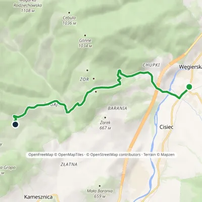
Craft nearby
All craft places Cheese dairies & pasturesBacówka na Bukowinie, Żabnica: sheep's cheese and alpacasWęgierska Górka6 km from the trailBacówka na Bukowinie stands on a slope above the village of Żabnica, next to Węgierska Górka, where the Żywiec Beskids meet the Silesian Beskids.
 Water parks & thermal poolsAquapark Leśna (Żywiec)Leśna8 km from the trailAquapark Leśna (also called Aquapark Żywiec) is a swimming-pool complex in the village of Leśna, a few kilometres from Żywiec, in the Żywiec Basin, surrounded by the...
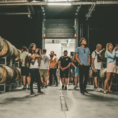 Craft beer & breweriesPINTA Brewery, Wieprz near Żywiec: tours and taproomWieprz8.7 km from the trailPINTA is the brewery that Poles associate with the start of the “beer revolution”; it calls itself the country's first craft brewery.
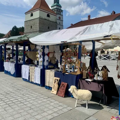 Markets & fairsFolk Art Fair in Żywiec during the Beskidy Week of CultureŻywiec13 km from the trailThe Beskidy Highlanders' Week of Culture (Tydzień Kultury Beskidzkiej, TKB) is Poland's largest folklore festival: it was first held in Wisła in 1964, and today, at...
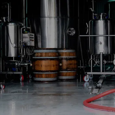 Craft beer & breweriesBrowar Zarzecze in the Żywiec Basin: craft brewery shopZarzecze13 km from the trailBrowar Zarzecze works in the village of Zarzecze near Pietrzykowice in the Żywiec Basin — a region where beer has been brewed since at least the 19th century and home...
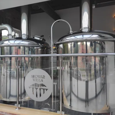 Craft beer & breweriesBrowar Wisła: craft brewpub in Wisła's old railway stationWisła15 km from the trailBrowar Wisła is a brewpub in the heart of the Silesian Beskids, in the spa town of Wisła, where Poland's longest river of the same name rises.
