Remetské Hámre – Snina, station
Trail map
Route, springs and shelters: © OpenStreetMap contributors (ODbL) · elevation: Copernicus DEM © DLR e.V., © Airbus DS · Data & licences
About the trail
Route Remetské Hámre – Snina, station. Has blue marking (regional route №2813, KST). Waymarking data: OpenStreetMap (© OpenStreetMap contributors, ODbL).
Officially marked regional tourist route No. 2813. Marking is blue, sign — horizontal stripe on a white background. Marked and maintained by: KST. Length of the route — 21.2 km. Location: mountain range — Vihorlat, Slovakia.
At a glance
A one-day route of 21.2 km with 781 m of ascent from Remetské Hámre to Snina, station. Estimated walking time: about 6.5 h, not counting stops. Difficulty: moderate. Waymarking: blue.
Route stages
- 0–3 kmGentle ups and downs at 220–330 m
- 3–9 kmClimb of 660 m to Sninský kameň (1,006 m)
- 9–11 kmDescent of 340 m to Morské oko Shelter
- 11–21 kmGentle ups and downs at 290–650 m
Steepest kilometre: km 8–9, a climb of 250 m (≈25%), near Sninský kameň.
Water and overnight stays
Springs near the trail: at km 1, 6, 9, 10, 12, 16, 18 and 20.
Huts and shelters near the trail: Morské oko Shelter (km 11).
When to go
Best time: May to October. In winter deep snow is possible, so experience and winter gear are needed.
Getting there
Start: Remetské Hámre. This is a one-way route: the finish is 15 km from the start in a straight line, so plan your way back in advance.
FAQ
- How long does the route take?
- Estimated walking time: about 6.5 h, not counting stops.
- Is there water on the route?
- Springs near the trail: at km 1, 6, 9, 10, 12, 16, 18 and 20.
- Where can I stay overnight?
- Huts and shelters near the trail: Morské oko Shelter (km 11).
Water and shelter on the route
- Spring below Širkáňkm 0.8 from the start · 70 m off the path · Not verified · 227 m
- Spring below Sninský kameň (north slope), 539 mkm 5.7 from the start · 40 m off the path · Not verified · 539 m
- Spring under Sninský Kameňkm 9 from the start · 150 m off the path · Not verified · 947 m
- Spring below Tri tably Passkm 10.1 from the start · 290 m off the path · Not verified · 782 m
- Romancova studnička Springkm 10.8 from the start · 210 m off the path · Not verified · 761 m
- Morské oko Shelterkm 11.2 from the start · 190 m off the path · Standing · 626 m
- Spring below Jedlinkykm 12.1 from the start · Not verified · 636 m
- Spring below Sivá skala (south-east slope), 462 mkm 16 from the start · 150 m off the path · Not verified · 462 m
- Richard Springkm 18.3 from the start · 260 m off the path · Not verified · 446 m
- Spring below Príkrakm 20.1 from the start · 210 m off the path · Not verified · 344 m
Comments
Trails nearby
All trails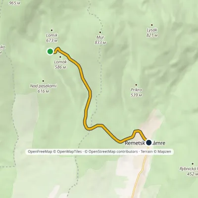 EasyOne-dayMarkedRemetské Hámre Stará koniareňElevation profile298–571 m5.4 kmascent 39 m≈ 1.5 h walking
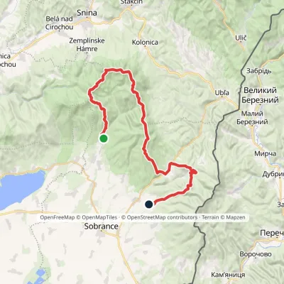 HardMulti-dayMarkedRemetské Hámre KoňušElevation profile272–1 023 m47.5 kmascent 2 062 m
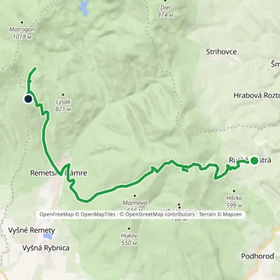 ModerateTwo-dayMarkedRemetské Hámre Ruská BystráElevation profile294–843 m19.2 kmascent 1 009 m≈ 7 h walking
Craft nearby
All craft places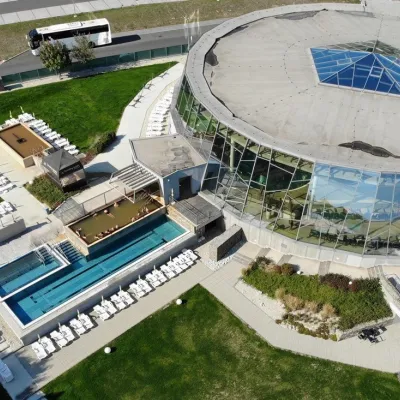 Water parks & thermal poolsThermalpark Šírava in Kaluža, Zemplínska ŠíravaKaluža24 km from the trailThermalpark Šírava (Thermalpark ŠÍRAVA) stands in the village of Kaluža on the northern shore of the Zemplínska Šírava — a large reservoir in eastern Slovakia.
 Crafts & workshopsVeraikon Icon Studio, Cisna: Carpathian icons and workshopsCisna28 km from the trailThe Veraikon Icon Studio (Pracownia Ikon Veraikon) in Cisna is, in its owners' words, the oldest and largest icon studio in the Bieszczady.
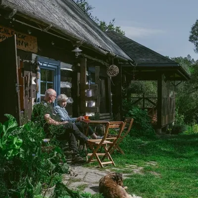 Craft producersBieszczadzkie Smaki, Smolnik: bread, liqueurs, preservesSmolnik30 km from the trailBieszczadzkie Smaki (“Bieszczady Flavours”) is a family producer of natural foods in the village of Smolnik on the Osława river, Komańcza municipality, on the western...
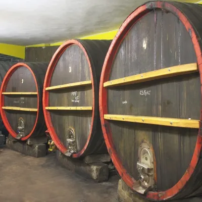 Wine & tastingsPivnica Orechová below Vihorlat: tastings in a deep wine cellarOrechová32 km from the trailVihorlat is a volcanic range in eastern Slovakia, best known for the Morské oko lake and its beech primeval forests.
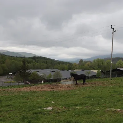 Horse ridingHucul Horse Stud in Wołosate, Bieszczady National ParkWołosate38 km from the trailWołosate is the southernmost inhabited village in Poland, tucked away in the valley of the Wołosatka stream below Tarnica, the highest peak of the Polish Bieszczady.
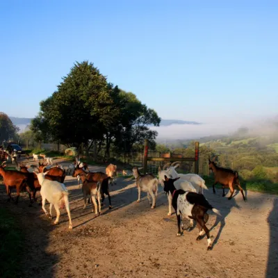 Cheese dairies & pasturesBieszczadzka Koza Goat Cheese Farm, SmolnikSmolnik45 km from the trailBieszczadzka Koza ("the Bieszczady Goat") is a family goat farm and artisan cheese dairy in the village of Smolnik on the San, in the eastern Polish Bieszczady, right...
