Košice North, stadium – Hradová
Trail map
Route, springs and shelters: © OpenStreetMap contributors (ODbL) · elevation: Copernicus DEM © DLR e.V., © Airbus DS · Data & licences
About the trail
Route Košice North, stadium – Hradová. Has yellow marking (regional route №8815, KST). Waymarking data: OpenStreetMap (© OpenStreetMap contributors, ODbL).
Officially marked regional tourist route No. 8815. The marking is yellow, the sign is a horizontal stripe on a white background. Marked and maintained by: KST. Length of the route — 5.2 km. Location: mountain range — Slovak Rudohorie, Slovakia.
At a glance
A short route of 5.2 km with 242 m of ascent from Košice North, stadium to Hradová. Estimated walking time: about 1.5 h, not counting stops. Difficulty: easy. Waymarking: yellow.
Route stages
- 0–1 kmGentle ups and downs at 210–240 m
- 1–2 kmClimb of 130 m (up to 367 m)
- 2–5 kmGentle ups and downs at 360–440 m
Steepest kilometre: km 1–2, a climb of 120 m (≈12%).
Water and overnight stays
Our map shows no springs near the trail — bring your own water (at least 1 l).
When to go
The route can be walked most of the year; it is most comfortable from April to October.
Getting there
Start: Košice North, stadium. This is a one-way route: the finish is 2 km from the start in a straight line, so plan your way back in advance.
FAQ
- How long does the route take?
- Estimated walking time: about 1.5 h, not counting stops.
- Is there water on the route?
- Our map shows no springs near the trail — bring your own water (at least 1 l).
Comments
Trails nearby
All trails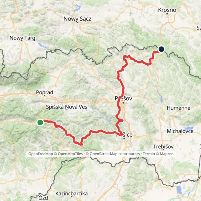 HardMulti-dayMarkedPred Čuntavou Dukliansky PassElevation profile227–1 293 m280.7 kmascent 8 346 m
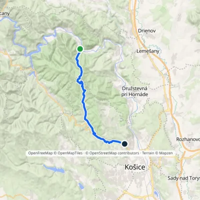 ModerateTwo-dayMarkedKošice, Čermeľ Veľká LodinaElevation profile241–824 m19.1 kmascent 626 m≈ 6 h walking
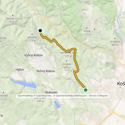 ModerateOne-dayMarkedHut on Jahodná Myslava, SchoolElevation profile264–602 m10 kmascent 449 m≈ 3.5 h walking
Craft nearby
All craft places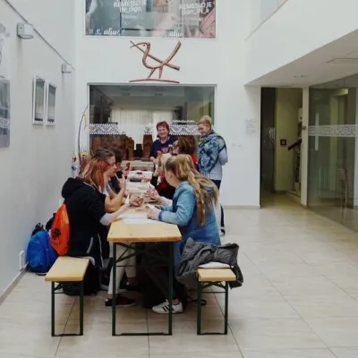 Crafts & workshopsÚĽUV Craft Centre Košice: craft workshops and folk-art shopBaška1.8 km from the trailÚĽUV (Ústredie ľudovej umeleckej výroby, the Centre for Folk Art Production) is a state institution that has looked after Slovak folk crafts since 1945: it keeps a...
 Crafts & workshopsMacák Pottery on Košice’s Craft Lane: ceramics and coursesHrašovík2 km from the trailHrnčiarska Street in Košice old town is known as the "Craft Lane" (Ulička remesiel): craftspeople work in small houses below the walls of the former town fortifications.
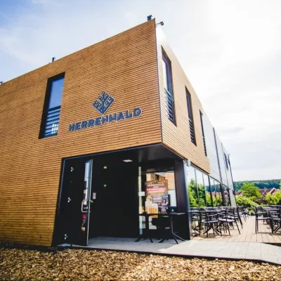 Craft beer & breweriesHerrenwald craft brewery, Malá Ida: tour with the brewerMalá Ida8.5 km from the trailThe Herrenwald brewery stands in its Panský les ("Lords’ Wood") quarter, from whose German name it takes its own.
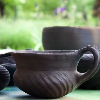 Crafts & workshopsHáj Pottery: wheel-thrown ceramics and wood-fired kilns in HájHáj31 km from the trailAt the back of an old farmhouse here is Háj Pottery (Hájske hrnčiarstvo), run by Amália Holíková. She throws utility ware on the wheel and models it by hand, but her...
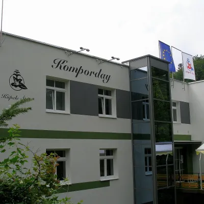 Water parks & thermal poolsŠtós spa: climatic cure, speleotherapy and poolŠtós33 km from the trailKúpele Štós is a climatic spa in south-eastern Slovakia, in the settlement of Štós-kúpele a few kilometres north of the mining village of Štós, where the Volovské...
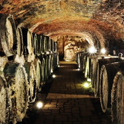 Wine & tastingsJ&J Ostrožovič Winery, Veľká Tŕňa: Tokaj tasting 13 m undergroundVeľká Tŕňa44 km from the trailFew people realise that Tokaj is not only a Hungarian wine. A small part of the historic Tokaj wine region lies in Slovakia: seven villages on the southern slopes of...
