Hronská Dúbrava – Dubové
Trail map
Route, springs and shelters: © OpenStreetMap contributors (ODbL) · elevation: Copernicus DEM © DLR e.V., © Airbus DS · Data & licences
About the trail
Route Hronská Dúbrava – Dubové. Has yellow marking (regional route №8507, KST). Waymarking data: OpenStreetMap (© OpenStreetMap contributors, ODbL).
Officially marked regional tourist route No. 8507. The marking is yellow, the sign is a horizontal stripe on a white background. Marked and maintained by: KST. Length of the route — 11.7 km. Location: mountain range — Stredoslovenske hory, Slovakia.
At a glance
A one-day route of 11.7 km with 266 m of ascent from Hronská Dúbrava to Dubové. Estimated walking time: about 3.5 h, not counting stops. Difficulty: moderate. Waymarking: yellow.
Route stages
- 0–4 kmGentle ups and downs at 260–290 m
- 4–8 kmClimb of 200 m (up to 472 m)
- 8–12 kmGentle ups and downs at 420–490 m
Water and overnight stays
Springs near the trail: at km 1 and 7.
When to go
The route can be walked most of the year; it is most comfortable from April to October.
Getting there
Start: Hronská Dúbrava. This is a one-way route: the finish is 9 km from the start in a straight line, so plan your way back in advance.
FAQ
- How long does the route take?
- Estimated walking time: about 3.5 h, not counting stops.
- Is there water on the route?
- Springs near the trail: at km 1 and 7.
Water and shelter on the route
- Obecná Wellkm 1.1 from the start · 110 m off the path · Not verified · 270 m
- Červený kameň Springkm 6.7 from the start · 50 m off the path · Not verified · 408 m
Comments
Trails nearby
All trails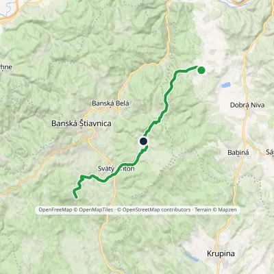
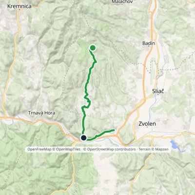
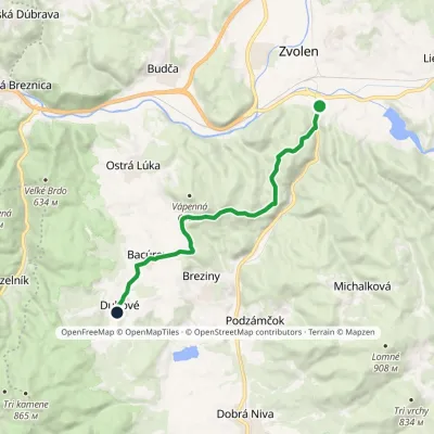
Craft nearby
All craft places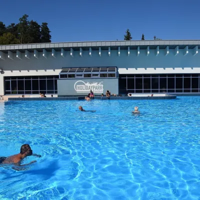 Water parks & thermal poolsKováčová: thermal spa and Holidaypark aquapark near ZvolenKováčová9 km from the trailKováčová is a spa village on the south-western edge of the Zvolen Basin, 4 km west of Zvolen at the foot of the Kremnica Mountains; the village centre lies at 303 m.
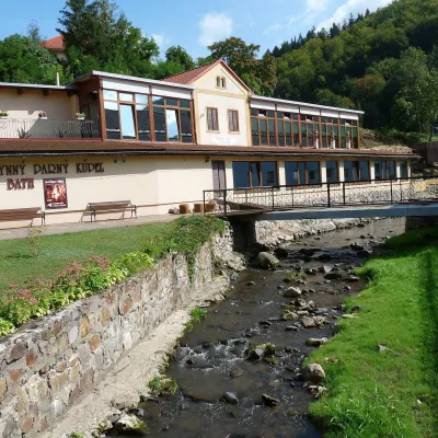 Water parks & thermal poolsSklené Teplice: Parenica cave steam bath and thermal bathsSklené Teplice11 km from the trailSklené Teplice is a small spa in a wooded valley of the Štiavnické vrchy hills, a few kilometres from the Hron valley and about 8 km from Banská Štiavnica.
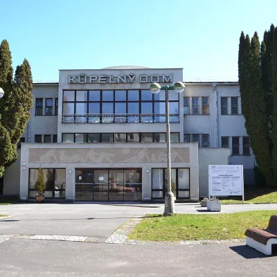 Water parks & thermal poolsSliač spa: warm carbonated water and a thermal swimming areaSliač13 km from the trailSliač is a spa in the Zvolen Basin above the Hron valley, between Zvolen and Banská Bystrica. The spa quarter with its 46-hectare park lies on a slope above the former...
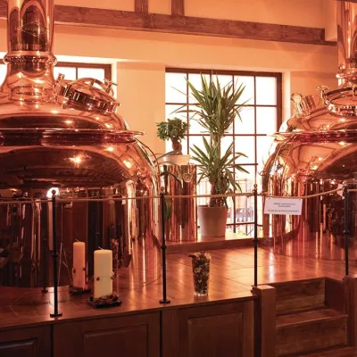 Craft beer & breweriesERB brewery in Banská Štiavnica: brewery tour and tastingBanská Štiavnica15 km from the trailBanská Štiavnica is an old mining town in the caldera of an extinct volcano and a UNESCO World Heritage site.
 Craft producersKremnica gingerbread: the Haurík family bakery since 1922Kremnica15 km from the trailKremnica is an old mining town in the Kremnica Mountains where coins have been struck for more than six centuries.
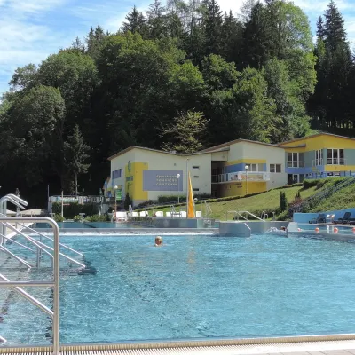 Water parks & thermal poolsVodný raj thermal pools in VyhneVyhne17 km from the trailVodný raj Vyhne ("Water Paradise") is a public pool complex with thermal water in the village of Vyhne, in a quiet wooded valley of the Štiavnické vrchy hills near the...
