Ponická Huta – Hronec
Trail map
Route, springs and shelters: © OpenStreetMap contributors (ODbL) · elevation: Copernicus DEM © DLR e.V., © Airbus DS · Data & licences
About the trail
Route Ponická Huta – Hronec. Has blue marking (regional route №2614, KST). Waymarking data: OpenStreetMap (© OpenStreetMap contributors, ODbL).
Officially marked regional tourist route No. 2614. The marking is blue, the sign is a horizontal stripe on a white background. Marked and maintained by: KST. Length of the route — 35.7 km. Location: mountain range — Stredoslovenske Mountains, Slovakia.
At a glance
A route of 35.7 km with 1,143 m of ascent from Ponická Huta to Hronec. Estimated walking time: about 11 h, not counting stops — a very long day, so it is easier split into 2 days. Difficulty: hard. Waymarking: blue.
Route stages
- 0–3 kmClimb of 330 m to Hájny grúň (832 m)
- 3–13 kmGentle ups and downs at 720–930 m, past Štomp
- 13–18 kmClimb of 370 m (up to 1,094 m)
- 18–25 kmGentle ups and downs at 1,080–1,240 m
- 25–31 kmDescent of 600 m (down to 633 m)
- 31–36 kmGentle ups and downs at 480–640 m
Steepest kilometre: km 1–2, a climb of 170 m (≈17%).
Water and overnight stays
Springs near the trail: at km 0, 2, 10, 11, 21, 22, 25 and 34. There are no springs between km 11 and 21 — carry at least 2 l of water.
Huts and shelters near the trail: Hut below Kraklová (km 6), Jasenová Hut (km 20), Horalka (km 25).
A possible split into days:
- Day 1: km 0–20, ≈6.5 h — overnight: Jasenová Hut (hut)
- Day 2: km 20–36, ≈4.5 h — finish
When to go
Best time: May to October. In winter deep snow is possible, so experience and winter gear are needed.
Getting there
Start: Ponická Huta. This is a one-way route: the finish is 24 km from the start in a straight line, so plan your way back in advance.
FAQ
- How long does the route take?
- Estimated walking time: about 11 h, not counting stops — a very long day, so it is easier split into 2 days.
- Is there water on the route?
- Springs near the trail: at km 0, 2, 10, 11, 21, 22, 25 and 34. There are no springs between km 11 and 21 — carry at least 2 l of water.
- Where can I stay overnight?
- Huts and shelters near the trail: Hut below Kraklová (km 6), Jasenová Hut (km 20), Horalka (km 25). Possible overnight stops: Jasenová Hut (km 20).
Water and shelter on the route
- Ladislav Chudík Springkm 0.4 from the start · 130 m off the path · Not verified · 493 m
- Spring below Hájny grúň (north-east slope)km 2.1 from the start · 170 m off the path · Not verified · 714 m
- Hut below Kraklovákm 6.2 from the start · Not verified · 898 m
- Spring below Gazdov (north-east slope)km 9.8 from the start · 200 m off the path · Not verified · 884 m
- Spring below Gazdov (north slope)km 10.3 from the start · Not verified · 870 m
- Spring below Gazdov (north-west slope)km 11.2 from the start · Not verified · 858 m
- Jasenová Hutkm 20.2 from the start · Not verified · 1 119 m
- Spring under Jaseňová Saddlekm 20.8 from the start · 240 m off the path · Not verified · 1 107 m
- Spring below Ľubietovská Bukovina (east slope)km 21.5 from the start · 220 m off the path · Not verified · 1 052 m
- Spring below Ľubietovská Bukovina (south-east slope)km 22.3 from the start · 70 m off the path · Not verified · 1 157 m
- Spring below Bukovina Pass (north slope)km 24.9 from the start · Not verified · 1 226 m
- Horalkakm 25.1 from the start · Standing · 1 210 m
- Horný medokýš Captured Springkm 33.8 from the start · Not verified · 543 m
- Hutník Captured Springkm 34.4 from the start · Not verified · 537 m
Comments
Trails nearby
All trails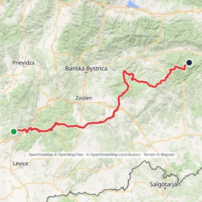
Craft nearby
All craft places Water parks & thermal poolsBrusno Spa: mineral springs, treatments and Caracalla SpaBrusno14 km from the trailBrusno Spa (Kúpele Brusno) lies in the Hron valley (Horehronie), about 20 km north-east of Banská Bystrica, on the northern slopes of the Vepor massif in the Slovak...
 Cheese dairies & pasturesSalaš Zbojská: sheep’s cheese, bryndza and žinčica on the passTisovec21 km from the trailThe Zbojská pass lies at about 740 metres in the forests between Brezno and Tisovec, on the edge of the Hron valley and the Muránska planina plateau.
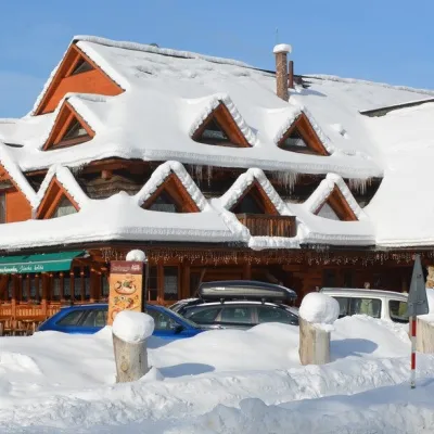 Koliby & Hutsul cuisineKoliba Strachanovka, Jánska valleyLiptovský Ján27 km from the trailKoliba Strachanovka (Jánska koliba) is a large wooden koliba at the entrance to the Jánska valley in the village of Liptovský Ján, which locals consider one of the...
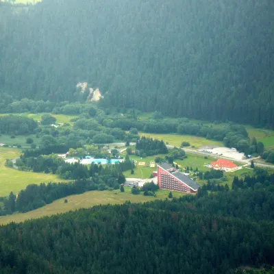 Water parks & thermal poolsTERMAL raj thermal bath, Liptovský JánLiptovský Ján28 km from the trailLiptovský Ján: thermal water at the entrance to Jánska dolina Liptovský Ján is an old village in southern Liptov, about 10 km from Liptovský Mikuláš, at the entrance...
 Craft beer & breweriesLiptovar brewery, Liptovský Mikuláš: craft beer and brewpubLiptovský Mikuláš32 km from the trailLiptovský Mikuláš is the main town of the Liptov region, a short drive from the Low and Western Tatras, the Demänovská Valley and the Liptovská Mara reservoir.
 Craft shopsÚĽUV Banská Bystrica: folk-craft shop and craft schoolBanská Bystrica33 km from the trailÚĽUV (Ústredie ľudovej umeleckej výroby, the Centre for Folk Art Production) is a state institution that has looked after Slovak folk crafts since 1945: it keeps a...
