Kasprowy Wierch — Zawrat, via Świnica
Trail map
Route, springs and shelters: © OpenStreetMap contributors (ODbL) · elevation: Copernicus DEM © DLR e.V., © Airbus DS · Data & licences
About the trail
Route Kasprowy Wierch – Świnica – Zawrat. Has red marking (regional route). Waymarking data: OpenStreetMap (© OpenStreetMap contributors, ODbL).
Officially marked regional tourist route. Marking is red, sign — horizontal stripe on a white background. Length of the route — 3.6 km. Location: mountain range — Western Tatras, Slovakia. The route is in the Tatra National Park (TANAP): high-altitude sections are closed from November 1 to June 15 — check the current dates before heading out at tanap.sk.
At a glance
A short route of 3.6 km with 397 m of ascent from Kasprowy Wierch to Zawrat. Estimated walking time: about 1.5 h, not counting stops. Difficulty: hard. Waymarking: red.
Route stages
- 0–3.5 kmAlong the ridge at 1,940–2,230 m, past Kasprowy Wierch, Beskid, Skrajna Turnia, Świnica
Steepest kilometre: km 2–3, a climb of 180 m (≈18%), near Świnicka Przełęcz.
Water and overnight stays
Our map shows no springs near the trail — bring your own water (at least 1 l).
When to go
Best time: June to September. In winter only for experienced hikers with proper gear: avalanche danger is possible. About 4 km of the route runs above 1,500 m, where the weather changes quickly — check the forecast.
Getting there
Start: Kasprowy Wierch. This is a one-way route: the finish is 3 km from the start in a straight line, so plan your way back in advance.
FAQ
- How long does the route take?
- Estimated walking time: about 1.5 h, not counting stops.
- Is there water on the route?
- Our map shows no springs near the trail — bring your own water (at least 1 l).
Comments
Trails nearby
All trails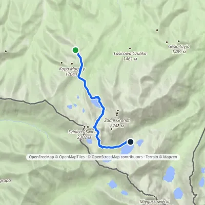 HardOne-dayMarkedPrzełęcz między Kopami Five Polish Ponds Valley Hutvia ZawratElevation profile1 497–2 155 m9 kmascent 709 m≈ 3.5 h walking
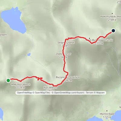 HardOne-dayMarkedOrla Perć: Zawrat KrzyżneElevation profile2 037–2 291 m3.9 kmascent 346 m≈ 1.5 h walking
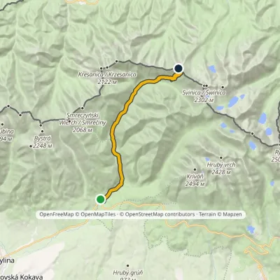 ModerateTwo-dayMarkedPodbanské Suché SaddleElevation profile928–1 946 m16.2 kmascent 1 020 m≈ 6 h walking
Craft nearby
All craft places Cheese dairies & pasturesFurtek's Shepherd's Huts, Kuźnice and KalatówkiZakopane4.8 km from the trailAbove Kuźnice — the southern edge of Zakopane where most hikes into the Western and High Tatras begin — the flocks are tended by baca Andrzej Staszel, nicknamed "Furtek".
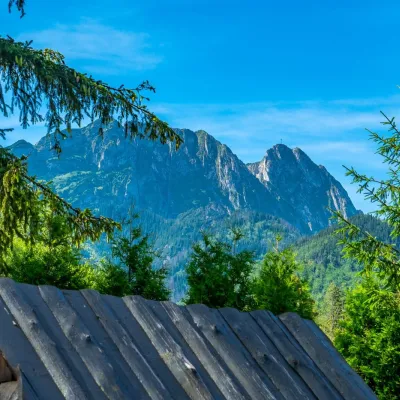 Koliby & Hutsul cuisineBąkowo Zohylina Wyźnio Highland TavernZakopane6.1 km from the trailBąkowo Zohylina Wyźnio is a regional highland tavern in Zakopane housed in a wooden "szałas" (shepherd-hut-style building) with a view of the Tatras.
 Cheese dairies & pasturesDom Oscypka, Krupówki, Zakopane: cheese-making workshop with a bacaZakopane7.1 km from the trailDom Oscypka ("House of Oscypek") is a workshop studio on Krupówki in the very centre of Zakopane, where you can see how highland cheese is made from milk and make some...
 Crafts & workshopsSztukomania Studio, Zakopane: handmade ceramics and pottery workshopsZakopane7.1 km from the trailSztukomania is a small ceramics and woodwork studio on Staszica street in Zakopane, a few minutes' walk from Krupówki.
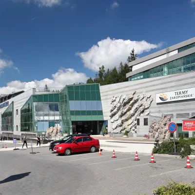 Water parks & thermal poolsTermy Zakopiańskie (Aqua Park Zakopane)Zakopane7.2 km from the trailTermy Zakopiańskie is a thermal water park right in Zakopane, on Jagiellońska Street, only a kilometre from Krupówki.
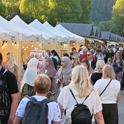 Markets & fairsEuropean Fair of Regional Products, Zakopane (every August)Zakopane7.2 km from the trailThe European Fair of Regional Products (Europejskie Targi Produktów Regionalnych) is a five-day festival of food, crafts and music held every August on Górna Równia...
