Lehota pod Vtáčnikom – Pod Vtáčnikom
Trail map
Route, springs and shelters: © OpenStreetMap contributors (ODbL) · elevation: Copernicus DEM © DLR e.V., © Airbus DS · Data & licences
About the trail
Route Lehota pod Vtáčnikom – Pod Vtáčnikom. Has green marking (regional route №5402a, KST). Waymarking data: OpenStreetMap (© OpenStreetMap contributors, ODbL).
Officially marked regional tourist route No. 5402a. The marking is green, the sign is a horizontal stripe on a white background. Marked and maintained by: KST. Length of the route — 10.1 km. Location: mountain range — Strazhovske Mountains, Slovakia.
At a glance
A short route of 10.1 km with 55 m of ascent and 1,000 m of descent from Lehota pod Vtáčnikom to Pod Vtáčnikom. Estimated walking time: about 2.5 h, not counting stops. Difficulty: easy. Waymarking: green.
Route stages
- 0–2 kmGentle ups and downs at 1,260–1,340 m, past Vtáčnik, Malá Homôľka
- 2–10 kmDescent of 910 m to Pod Vtáčnikom
Steepest kilometre: km 6–7, a descent of 230 m (≈23%).
Water and overnight stays
A spring near the trail: at km 4.
When to go
Best time: May to October. In winter deep snow is possible, so experience and winter gear are needed.
Getting there
Start: Lehota pod Vtáčnikom. This is a one-way route: the finish is 9 km from the start in a straight line, so plan your way back in advance.
FAQ
- How long does the route take?
- Estimated walking time: about 2.5 h, not counting stops.
- Is there water on the route?
- A spring near the trail: at km 4.
Water and shelter on the route
- Spring below Kuní vrchkm 4.4 from the start · Not verified · 967 m
Comments
Trails nearby
All trails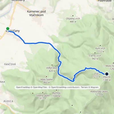 ModerateOne-dayMarkedChodník Petra ŠkolnuElevation profile255–1 346 m13.8 kmascent 1 091 m≈ 5.5 h walking
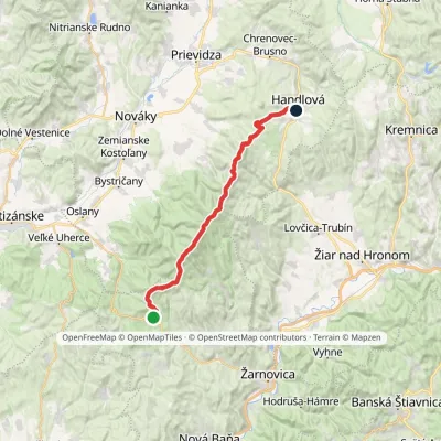 HardMulti-dayMarkedPonitrianska magistrála: Veľké Pole HandlováElevation profile429–1 346 m33.1 kmascent 1 277 m≈ 11 h walking
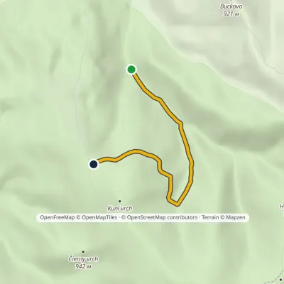 EasyOne-dayMarkedSekaniny, huts VrvravaElevation profile591–974 m3.8 kmascent 383 m≈ 1.5 h walking
Craft nearby
All craft places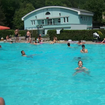 Water parks & thermal poolsChalmová Thermal Pool near PrievidzaBystričany11 km from the trailChalmová Thermal Pool (Termálne kúpalisko Chalmová) is a public pool complex in the village of Chalmová, part of the municipality of Bystričany, about 14 km south of...
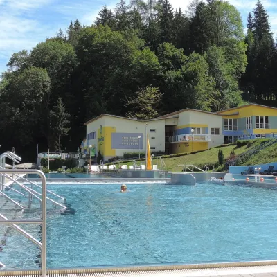 Water parks & thermal poolsVodný raj thermal pools in VyhneVyhne17 km from the trailVodný raj Vyhne ("Water Paradise") is a public pool complex with thermal water in the village of Vyhne, in a quiet wooded valley of the Štiavnické vrchy hills near the...
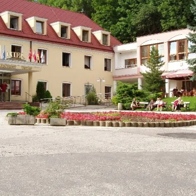 Water parks & thermal poolsBojnice Spa: thermal springs, pools and treatmentsBojnice18 km from the trailBojnice Spa (Kúpele Bojnice) lies on the edge of the town of Bojnice, about 3 km from Prievidza, in the Upper Nitra basin – at the eastern foot of the Malá Magura...
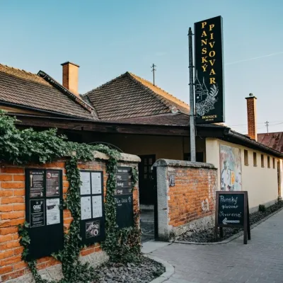 Craft beer & breweriesPanský pivovar Bojnice: unfiltered craft beer below the castleBojnice18 km from the trailBojnice is a spa town in the upper Nitra valley at the foot of the Strážov Hills, famous for the fairy-tale castle of the Pálffy family.
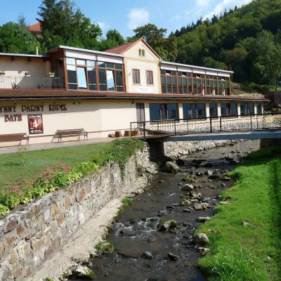 Water parks & thermal poolsSklené Teplice: Parenica cave steam bath and thermal bathsSklené Teplice20 km from the trailSklené Teplice is a small spa in a wooded valley of the Štiavnické vrchy hills, a few kilometres from the Hron valley and about 8 km from Banská Štiavnica.
 Craft producersKremnica gingerbread: the Haurík family bakery since 1922Kremnica23 km from the trailKremnica is an old mining town in the Kremnica Mountains where coins have been struck for more than six centuries.
