Osadné – Maniów
Trail map
Route, springs and shelters: © OpenStreetMap contributors (ODbL) · elevation: Copernicus DEM © DLR e.V., © Airbus DS · Data & licences
About the trail
Route Osadné – Maniów. Has yellow marking (regional route №8819, KST). Waymarking data: OpenStreetMap (© OpenStreetMap contributors, ODbL).
Officially marked regional tourist route No. 8819. The marking is yellow, the sign is a horizontal stripe on a white background. Marked and maintained by: KST. Length of the route — 6.3 km. Location: mountain range — Bieszczady, Slovakia.
At a glance
A short route of 6.3 km with 333 m of ascent from Osadné to Maniów. Estimated walking time: about 2 h, not counting stops. Difficulty: easy. Waymarking: yellow.
Route stages
- 0–4.5 kmGentle ups and downs at 400–530 m
- 4.5–6.5 kmClimb of 190 m to Balnica Shelter
Steepest kilometre: km 5–6, a climb of 130 m (≈13%), near Balnica Shelter.
Water and overnight stays
Springs near the trail: at km 0.5, 4 and 6.
Huts and shelters near the trail: Balnica Shelter (km 6.5).
When to go
The route can be walked most of the year; it is most comfortable from April to October.
Getting there
Start: Osadné. This is a one-way route: the finish is 5 km from the start in a straight line, so plan your way back in advance.
FAQ
- How long does the route take?
- Estimated walking time: about 2 h, not counting stops.
- Is there water on the route?
- Springs near the trail: at km 0.5, 4 and 6.
- Where can I stay overnight?
- Huts and shelters near the trail: Balnica Shelter (km 6.5).
Water and shelter on the route
- Mineral Spring, 433 mkm 0.5 from the start · Not verified · 433 m
- Spring below Drozdiačkakm 4.1 from the start · Not verified · 506 m
- Spring below Wierszkikm 6.1 from the start · 190 m off the path · Not verified · 703 m
- Balnica Shelterkm 6.3 from the start · 180 m off the path · Standing · 710 m
Comments
Trails nearby
All trails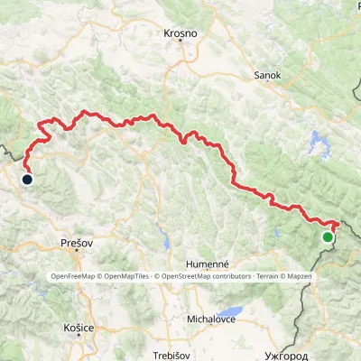 HardMulti-dayMarkedVýchodokarpatská magistrálaElevation profile390–1 209 m213.5 kmascent 7 991 m
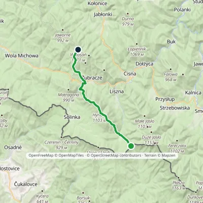 ModerateTwo-dayMarkedPass over Roztoki Wołosańvia Hyrlata, ŻubraczeElevation profile632–1 103 m15.7 kmascent 922 m≈ 6 h walking
 HardMulti-dayMarkedMain Trail of BeskidyElevation profile309–1 723 m499.9 kmascent 19 519 m
Craft nearby
All craft places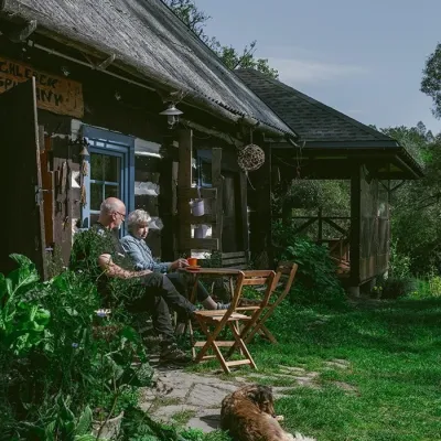 Craft producersBieszczadzkie Smaki, Smolnik: bread, liqueurs, preservesSmolnik12 km from the trailBieszczadzkie Smaki (“Bieszczady Flavours”) is a family producer of natural foods in the village of Smolnik on the Osława river, Komańcza municipality, on the western...
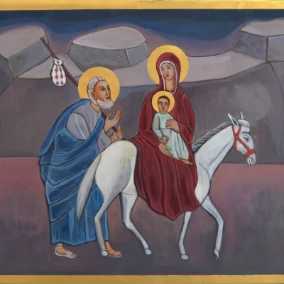 Crafts & workshopsVeraikon Icon Studio, Cisna: Carpathian icons and workshopsCisna15 km from the trailThe Veraikon Icon Studio (Pracownia Ikon Veraikon) in Cisna is, in its owners' words, the oldest and largest icon studio in the Bieszczady.
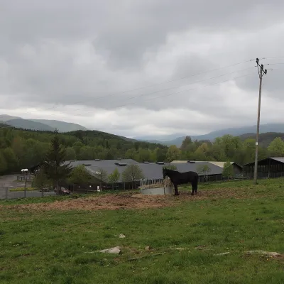 Horse ridingHucul Horse Stud in Wołosate, Bieszczady National ParkWołosate39 km from the trailWołosate is the southernmost inhabited village in Poland, tucked away in the valley of the Wołosatka stream below Tarnica, the highest peak of the Polish Bieszczady.
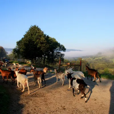 Cheese dairies & pasturesBieszczadzka Koza Goat Cheese Farm, SmolnikSmolnik39 km from the trailBieszczadzka Koza ("the Bieszczady Goat") is a family goat farm and artisan cheese dairy in the village of Smolnik on the San, in the eastern Polish Bieszczady, right...
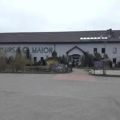 Craft beer & breweriesUrsa Maior Brewery, Uherce MineralneUherce Mineralne40 km from the trailUrsa Maior, or the Bieszczady Brewery (Bieszczadzka Wytwórnia Piwa), is an independent craft microbrewery in the village of Uherce Mineralne, between Lesko and...
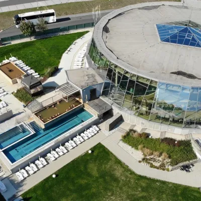 Water parks & thermal poolsThermalpark Šírava in Kaluža, Zemplínska ŠíravaKaluža41 km from the trailThermalpark Šírava (Thermalpark ŠÍRAVA) stands in the village of Kaluža on the northern shore of the Zemplínska Šírava — a large reservoir in eastern Slovakia.
