Sedlo Závory – Hlinská dolina, ústie
Trail map
Route, springs and shelters: © OpenStreetMap contributors (ODbL) · elevation: Copernicus DEM © DLR e.V., © Airbus DS · Data & licences
About the trail
Route Sedlo Závory – Hlinská dolina, ústie. Has green marking (regional route №5801, KST). Waymarking data: OpenStreetMap (© OpenStreetMap contributors, ODbL).
Officially marked regional tourist route No. 5801. The marking is green, the sign is a horizontal stripe on a white background. Marked and maintained by: KST. Length of the route — 2.8 km. Location: mountain range — High Tatras, Slovakia. The route in the Tatra National Park (TANAP): high-altitude sections are closed from November 1 to June 15 — before heading out, check the current dates at tanap.sk.
At a glance
A short route of 2.8 km with 427 m of ascent from Sedlo Závory to Hlinská dolina, ústie. Estimated walking time: about 1.5 h, not counting stops. Difficulty: easy. Waymarking: green.
Route stages
- 0–1 kmGentle ups and downs at 1,430–1,530 m
- 1–3 kmClimb of 330 m (up to 1,856 m)
Steepest kilometre: km 1–2, a climb of 220 m (≈22%).
Water and overnight stays
Our map shows no springs near the trail — bring your own water (at least 1 l).
When to go
Best time: June to September. In winter only for experienced hikers with proper gear: avalanche danger is possible.
Getting there
Start: Sedlo Závory. This is a one-way route: the finish is 2 km from the start in a straight line, so plan your way back in advance.
FAQ
- How long does the route take?
- Estimated walking time: about 1.5 h, not counting stops.
- Is there water on the route?
- Our map shows no springs near the trail — bring your own water (at least 1 l).
Comments
Trails nearby
All trails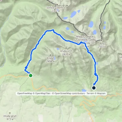 HardTwo-dayMarkedTri studničky, old forester's lodge Popradské Pleso, stopElevation profile1 105–2 142 m21.4 kmascent 1 129 m≈ 7.5 h walking
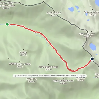 EasyOne-dayMarkedLiptovský košiar Hladké sedloElevation profile1 275–1 988 m5.3 kmascent 694 m≈ 2.5 h walking
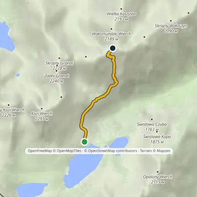 EasyOne-dayMarkedKrzyżne Zagon NiżniElevation profile1 674–2 107 m2.6 kmascent 457 m≈ 1.5 h walking
Craft nearby
All craft places Cheese dairies & pasturesFurtek's Shepherd's Huts, Kuźnice and Kalatówki9.4 km from the trailAbove Kuźnice — the southern edge of Zakopane where most hikes into the Western and High Tatras begin — the flocks are tended by baca Andrzej Staszel, nicknamed "Furtek".
 Cheese dairies & pasturesShepherd's Hut on Rusinowa Polana10 km from the trailRusinowa Polana is one of the most beautiful mountain glades in the Polish Tatras, and from May to October it is home to the bacówka (shepherd's hut) of baca Stanisław...
 Koliby & Hutsul cuisineBąkowo Zohylina Wyźnio Highland Tavern11 km from the trailBąkowo Zohylina Wyźnio is a regional highland tavern in Zakopane housed in a wooden "szałas" (shepherd-hut-style building) with a view of the Tatras.
 Water parks & thermal poolsTermy Zakopiańskie (Aqua Park Zakopane)12 km from the trailTermy Zakopiańskie is a thermal water park right in Zakopane, on Jagiellońska Street, only a kilometre from Krupówki.
 Markets & fairsMarket under Gubałówka13 km from the trailThe market under Gubałówka (Targ pod Gubałówką) is Zakopane's best-known bazaar and probably the most photographed row of stalls in the Polish Tatras.
 Horse ridingKone vo Východnej: horse rides below the Tatras13 km from the trailKone vo Východnej (“Horses in Východná”) is a small family horse farm on the meadows above the village of Východná in upper Liptov, with a sweeping view of the High...
