Zazadnia – Rusinowa Polana
Trail map
Route, springs and shelters: © OpenStreetMap contributors (ODbL) · elevation: Copernicus DEM © DLR e.V., © Airbus DS · Data & licences
About the trail
Route Zazadnia – Rusinowa Polana. Has blue marking (regional route). Waymarking data: OpenStreetMap (© OpenStreetMap contributors, ODbL).
Officially marked regional tourist route. The marking is blue, the sign is a horizontal stripe on a white background. The length of the route is 2.7 km. Location: mountain range – High Tatras, Poland. The route is in the Tatra National Park (TPN): entry is paid (tickets online or at the ticket offices), from March 1 to November 30, trails can only be walked from dawn to dusk.
At a glance
A short route of 2.7 km with 251 m of ascent from Zazadnia to Rusinowa Polana. Estimated walking time: about 1 h, not counting stops. Difficulty: easy. Waymarking: blue.
Water and overnight stays
Our map shows no springs near the trail — bring your own water (at least 1 l).
When to go
Best time: May to October. In winter deep snow is possible, so experience and winter gear are needed.
Getting there
Start: Zazadnia. This is a one-way route: the finish is 2 km from the start in a straight line, so plan your way back in advance.
FAQ
- How long does the route take?
- Estimated walking time: about 1 h, not counting stops.
- Is there water on the route?
- Our map shows no springs near the trail — bring your own water (at least 1 l).
Comments
Trails nearby
All trails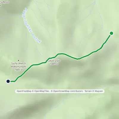 EasyOne-dayMarkedRusinowa Polana Rówień WaksmundzkaElevation profile1 208–1 483 m2.2 kmascent 260 m≈ 1 h walking
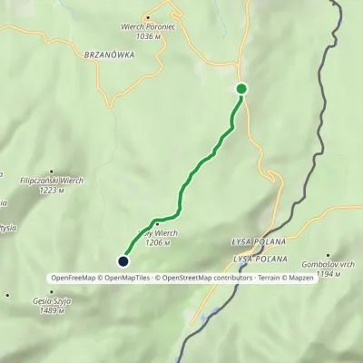 EasyOne-dayMarkedWierch Poroniec Rusinowa PolanaElevation profile1 102–1 211 m3.2 kmascent 114 m≈ 1 h walking
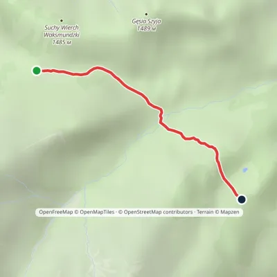 EasyOne-dayMarkedRówień Waksmundzka Polana Pod WołoszynemElevation profile1 249–1 417 m2 kmascent 29 m≈ 30 min walking
Craft nearby
All craft places Cheese dairies & pasturesShepherd's Hut on Rusinowa Polana2.2 km from the trailRusinowa Polana is one of the most beautiful mountain glades in the Polish Tatras, and from May to October it is home to the bacówka (shepherd's hut) of baca Stanisław...
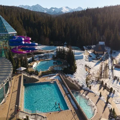 Water parks & thermal poolsTermy Bukovina4.8 km from the trailTermy Bukovina is a modern thermal pool complex in Bukowina Tatrzańska, a village lying about a thousand metres above sea level on the edge of the Tatra National Park.
 Cheese dairies & pasturesFurtek's Shepherd's Huts, Kuźnice and Kalatówki7.7 km from the trailAbove Kuźnice — the southern edge of Zakopane where most hikes into the Western and High Tatras begin — the flocks are tended by baca Andrzej Staszel, nicknamed "Furtek".
 Water parks & thermal poolsTermy Zakopiańskie (Aqua Park Zakopane)9 km from the trailTermy Zakopiańskie is a thermal water park right in Zakopane, on Jagiellońska Street, only a kilometre from Krupówki.
 Koliby & Hutsul cuisineBąkowo Zohylina Wyźnio Highland Tavern9.1 km from the trailBąkowo Zohylina Wyźnio is a regional highland tavern in Zakopane housed in a wooden "szałas" (shepherd-hut-style building) with a view of the Tatras.
 Markets & fairsMarket under Gubałówka10 km from the trailThe market under Gubałówka (Targ pod Gubałówką) is Zakopane's best-known bazaar and probably the most photographed row of stalls in the Polish Tatras.
