Liptovská Mara

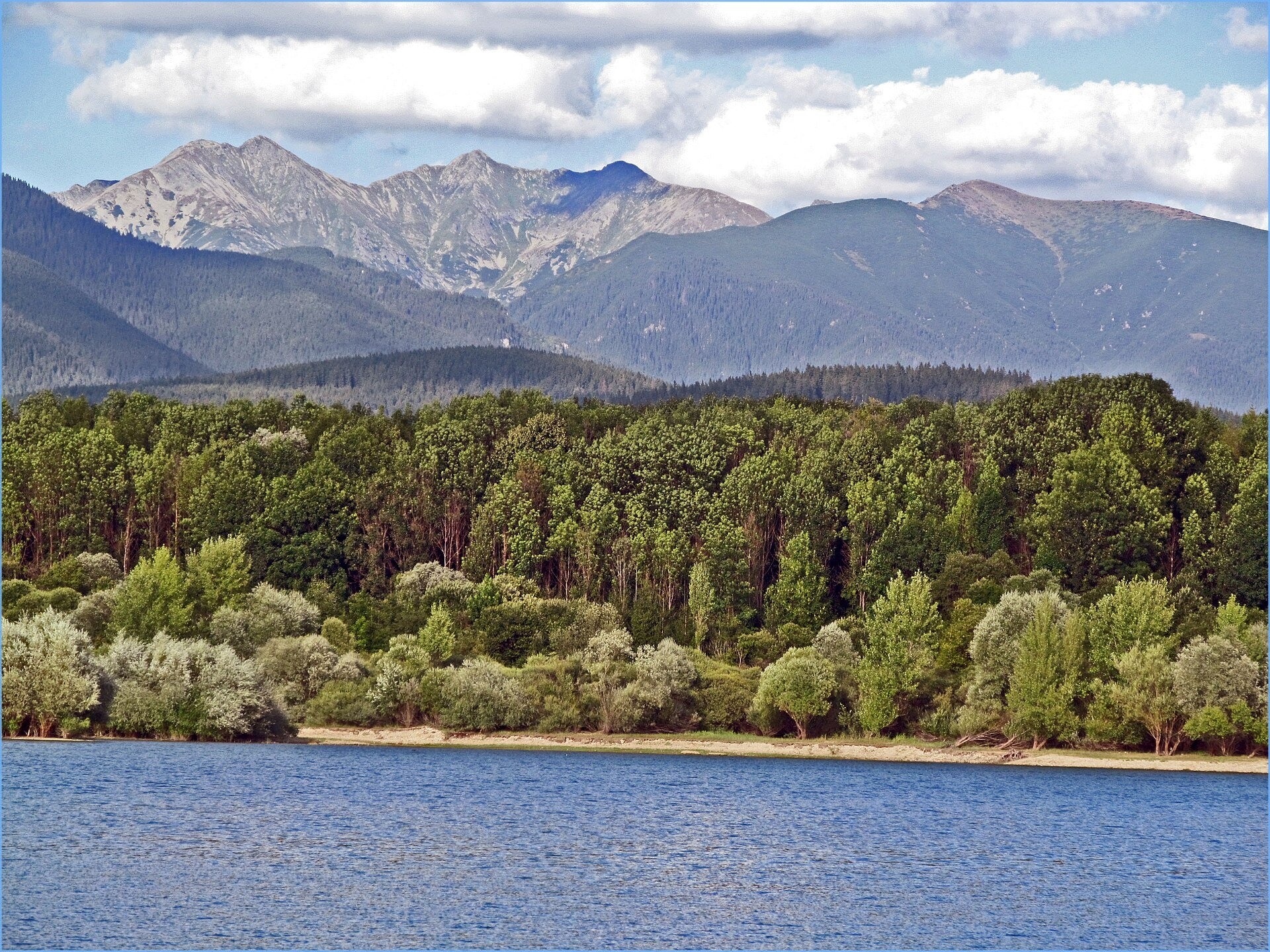
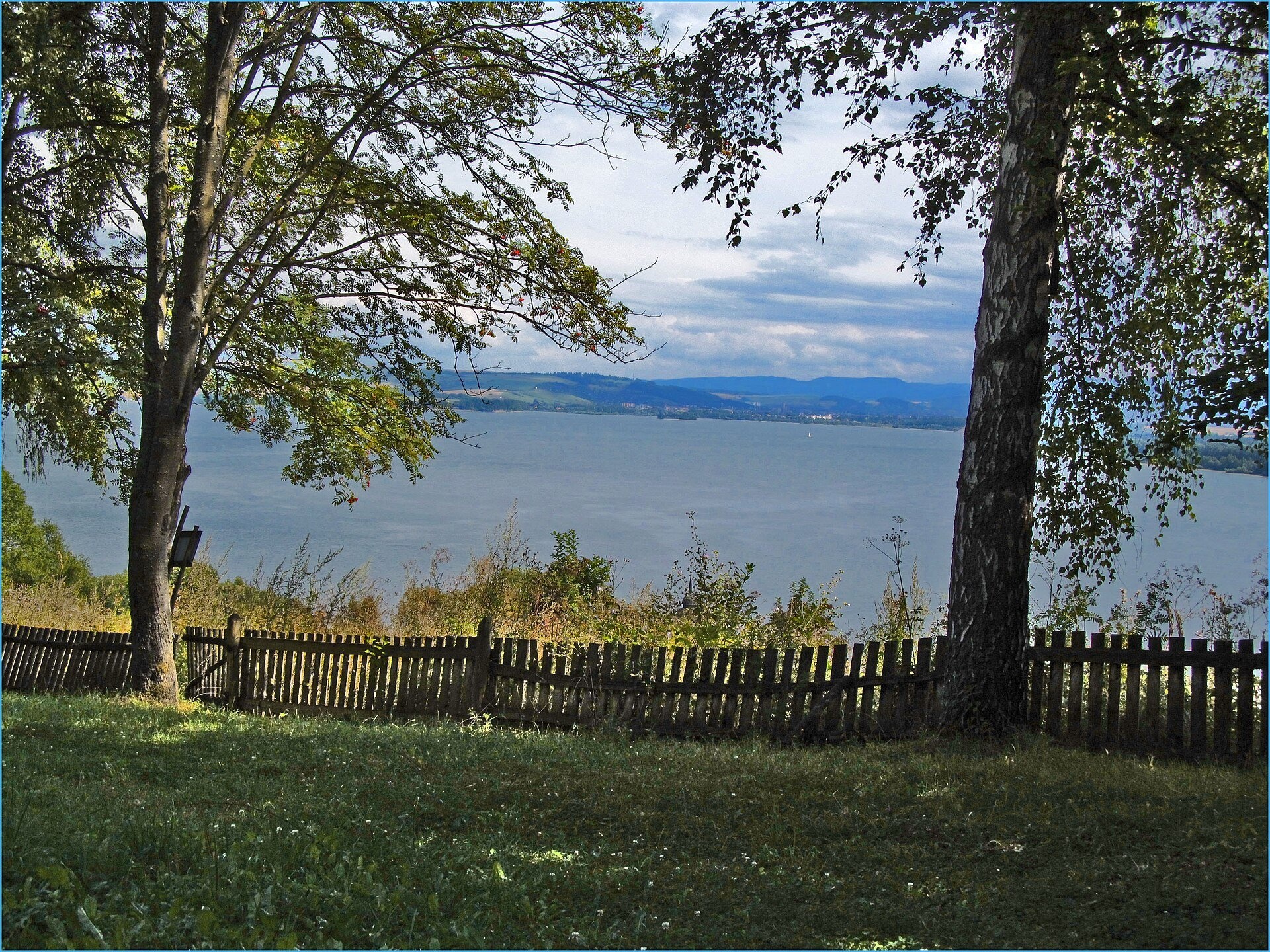
Liptovská Mara is a large reservoir on the Váh river in central Liptov, by the town of Liptovský Mikuláš, with views of the Western and Low Tatras. It was built in 1965–1975 as part of the Váh dam cascade. It holds 361.9 million m³ of water, making it Slovakia's second-largest reservoir by volume after Orava (it was long considered the largest, but 1993 measurements gave first place to the Orava dam). When full to 566 m, the water covers almost 27 km², and the maximum depth is about 45 m.
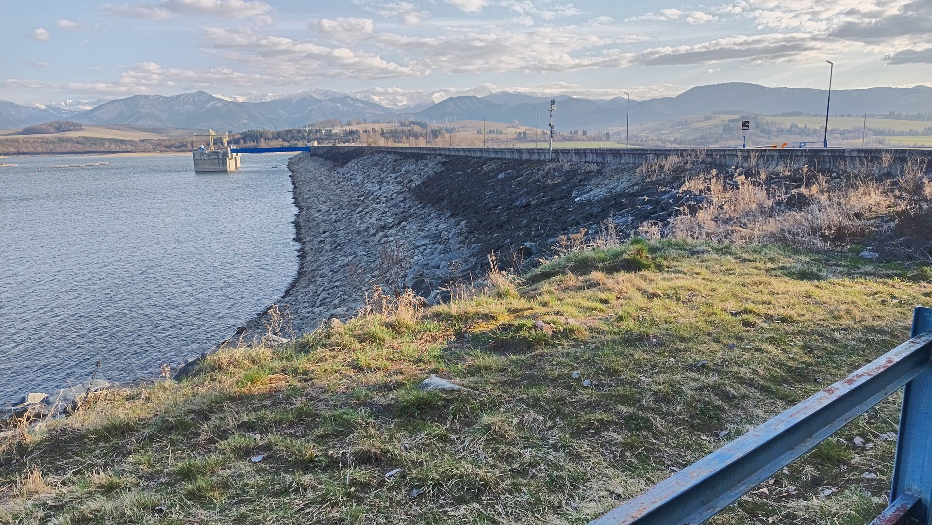
The price of construction was high: 13 villages went under water, 12 of them completely, including the village of Liptovská Mara that gave the reservoir its name. 940 families — more than 4,000 people — were resettled. Construction moved 11 million m³ of earth, about 300,000 m³ of stone and more than 400,000 m³ of concrete and reinforced concrete; in 2025 the reservoir celebrated its 50th anniversary. The 43.5 m earth dam is 1,350 m long at the crest, and the hydroelectric plant at its foot, with four turbines (two of them reversible), has a capacity of 198 MW. The reservoir's main purpose is flood protection, along with power generation.
What to see and do
- Relaxing by the water. The main recreation centre is Liptovský Trnovec on the north shore: beaches, campsites and an aquapark nearby. In the warm season sightseeing boat trips leave from here; schedules depend on weather and season.
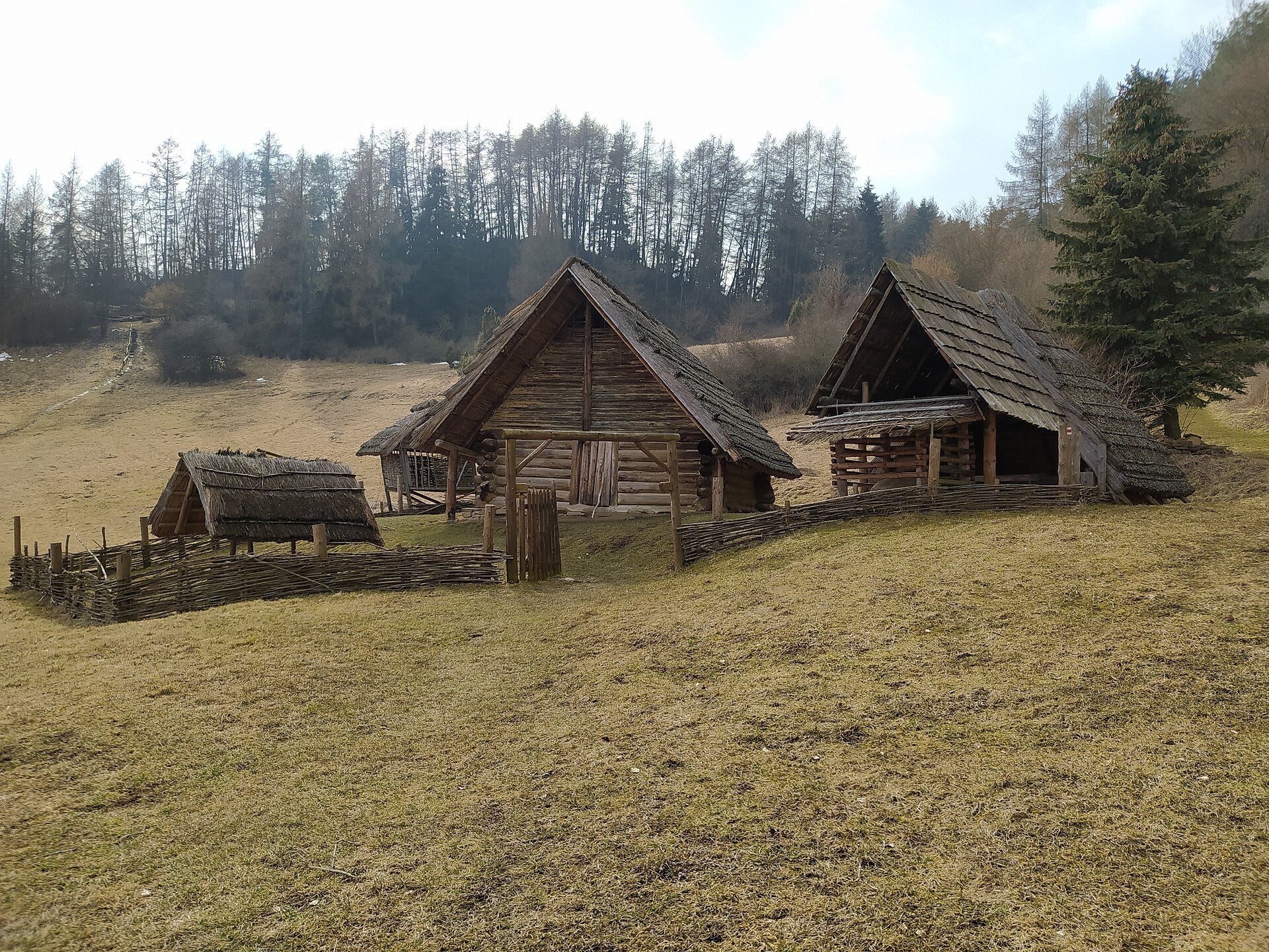
- Havránok — an archaeological site above the dam, about 2 km south of the village of Bobrovník: a fortified Celtic settlement with a druid sanctuary from the 1st century BC and reconstructed wooden houses in an open-air museum. The hill offers a panorama of the reservoir.
- The dam and the views. From the dam near the village of Vlachy and from the shores you can see the mountain ranges: Roháče, the Chočské vrchy and the Low Tatras.
- Nature. The Ratkovo peninsula and the adjacent waters are a protected area; the shores attract anglers and birdwatchers.
Practical information
Getting there. Liptovská Mara lies just west of Liptovský Mikuláš, which is on the Žilina – Košice railway and the D1 motorway. A road runs along the north shore to Liptovský Trnovec and Bobrovník, and along the south shore to Liptovská Sielnica and Havránok. From Poprad to Liptovský Mikuláš it is about an hour by car; from Štrbské Pleso it is even closer, via Liptovský Hrádok. The shores are accessible all year and free of charge; you pay only for individual services (parking, beaches, boat trips, the open-air museum).
Who it suits. It is one of the best options for a holiday without hiking: families with children, older visitors, cyclists and anglers. TANAP rules do not apply here, but swim only at designated beaches and fish only with a proper permit.
When to go. July–August for swimming and water fun; May–June and September for quiet walks and views. In winter the reservoir partly freezes and the surrounding mountains are snow-covered.
Nearby
- Vlkolínec — a UNESCO-listed wooden village.
- Liptovský hrad — castle ruins above the reservoir.
- Demänovská Cave of Liberty in the Low Tatras.
- Museum of the Liptov Village in Pribylina.
Photos: Zelené lode, CC BY-SA 4.0, Wikimedia Commons; Jan Starec, CC BY-SA 3.0, Wikimedia Commons; Fry72 (Karel Frydrýšek), CC BY-SA 4.0, Wikimedia Commons; Marek Novotnak., CC BY-SA 3.0, Wikimedia Commons; Ing.Mgr.Jozef Kotulič, CC BY-SA 4.0, Wikimedia Commons.
Getting there from Ukraine
Border crossings
- Uzhhorod – Vyšné Nemecké — road, 24/7
- Malyi Bereznyi – Ubľa — road, 24/7 For cars and buses; pedestrians not confirmed by the Ukrainian border service, lorries up to 3.5 t.
- Mali Selmentsi – Veľké Slemence (pedestrian) — pedestrian, 09:00–21:00 Kyiv time Pedestrians and cyclists only; inconvenient for the Tatras without onward transport.
- Chop – Čierna nad Tisou (rail) — rail, 24/7
By car
From Uzhhorod ≈275 km, ≈3 h 35 min without queues: Uzhhorod – Vyšné Nemecké → I/19 to Košice → D1 motorway via Prešov, Poprad and Liptovský Mikuláš to Ružomberok (≈270 km, ≈3 h 25 min from the border). From Lviv it is faster through Poland: M-10 → Krakovets – Korczowa → A4 to Kraków → S7/DK7 to the Chyżne – Trstená border → R3 and I/59 via Dolný Kubín to Ružomberok: ≈482 km, ≈6 h 15 min (via Uzhok and Ubľa ≈500 km, ≈7 h 30 min). The D1 requires an e-vignette (eznamka.sk).
Checked 23.10.2026; border crossing hours and timetables change — check before you travel.
Location on the map
Comments
Trails nearby
All trails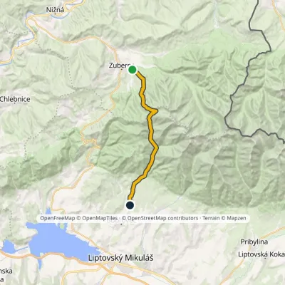 ModerateTwo-dayMarkedJalovec ZuberecElevation profile683–1 579 m17.6 kmascent 772 m≈ 6 h walking7.8 km from Liptovská Mara
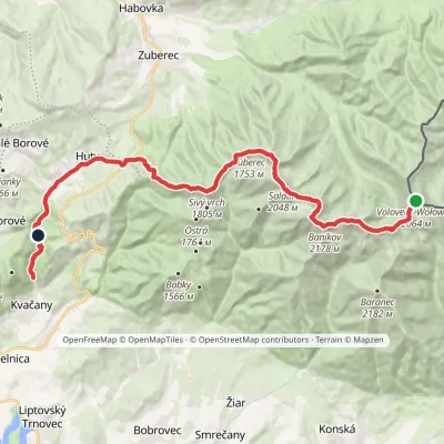 HardMulti-dayMarkedÚstie Kvačianskej doliny Pyšné sedlovia VolovecElevation profile644–2 169 m27.6 kmascent 1 322 m≈ 9.5 h walking7.8 km from Liptovská Mara
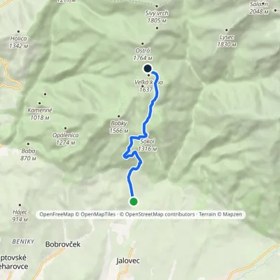 ModerateOne-dayMarkedBobrovecká Vápenica Predúvratie SaddleElevation profile751–1 594 m6.1 kmascent 833 m≈ 3 h walking9.3 km from Liptovská Mara
Nearby attractions
 Koliby & Hutsul cuisineSalaš Dechtáre above Liptovská Mara2.1 km from Liptovská MaraSalaš Dechtáre is a wooden koliba above the Liptovská Mara reservoir that is described as one of Slovakia’s first commercial salaš restaurants.
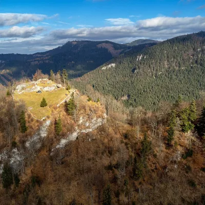 CastleLiptov Castle (ruins)8.3 km from Liptovská MaraLiptov Castle (Liptovský hrad), also known as Liptov Old Castle or Sielnica Castle, is the ruin of a medieval fortress on the summit of Sestrč (999.9 m) in the Choč...
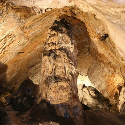 NatureDemänovská Ice Cave11 km from Liptovská MaraThe ‘dragon’ cave of the Demänová valley The Demänovská Ice Cave (Demänovská ľadová jaskyňa) is the northern part of the famous Demänová cave system in the Low Tatras,...
Craft nearby
All craft places Water parks & thermal poolsAquapark Tatralandia3.2 km from Liptovská MaraAquapark Tatralandia is a large year-round water leisure complex near Liptovský Mikuláš, on the northern shore of the Liptovská Mara reservoir.
 Water parks & thermal poolsBešeňová Water Park5.9 km from Liptovská MaraBešeňová — the "thermal heart of Liptov" Bešeňová Water Park (Vodný park Bešeňová) lies on the edge of the village of the same name in the western part of the Liptov...
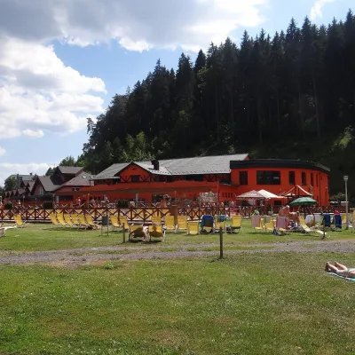 Water parks & thermal poolsLúčky Spa and AQUA-VITAL Park9.9 km from Liptovská MaraLúčky Spa (Kúpele Lúčky) lies in a quiet valley beneath the Choč Mountains, in the village of Lúčky near Ružomberok.
 Water parks & thermal poolsTERMAL raj thermal bath, Liptovský Ján13 km from Liptovská MaraLiptovský Ján: thermal water at the entrance to Jánska dolina Liptovský Ján is an old village in southern Liptov, about 10 km from Liptovský Mikuláš, at the entrance...
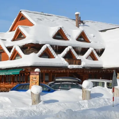 Koliby & Hutsul cuisineKoliba Strachanovka, Jánska valley14 km from Liptovská MaraKoliba Strachanovka (Jánska koliba) is a large wooden koliba at the entrance to the Jánska valley in the village of Liptovský Ján, which locals consider one of the...
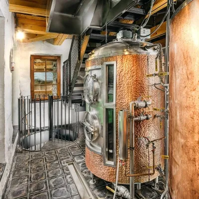 Craft beer & breweriesURSUS craft brewery, Čutkovská valley20 km from Liptovská MaraURSUS craft brewery (Remeselný pivovar URSUS) is the first brewery of the town of Ružomberok, tucked away in the picturesque Čutkovská valley in lower Liptov.
