The Chornohora Mountain Range – the highest ridge of the Ukrainian Carpathians

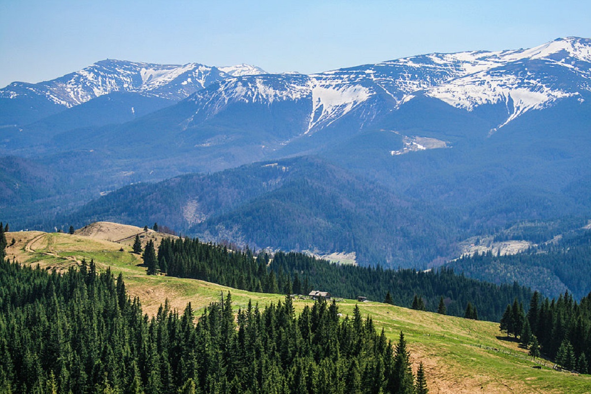
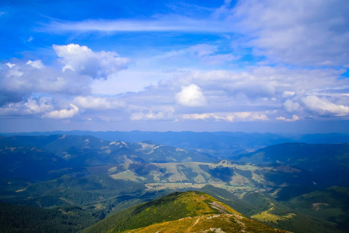
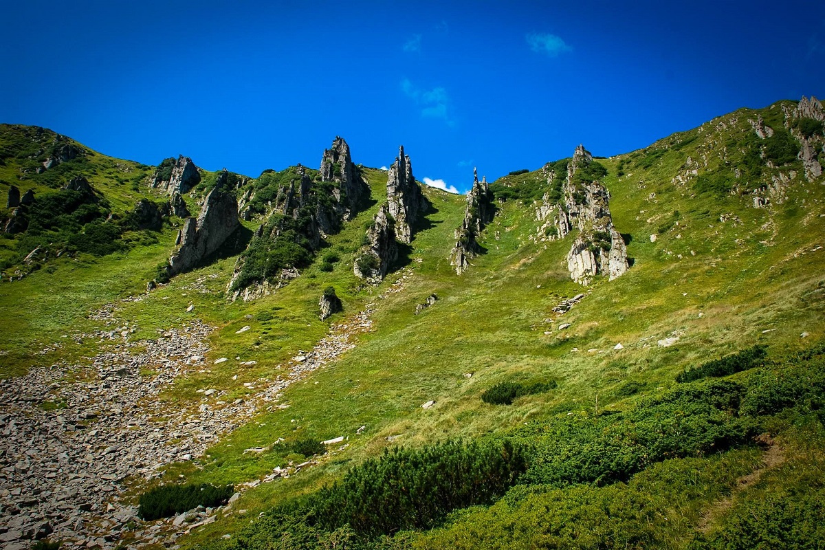
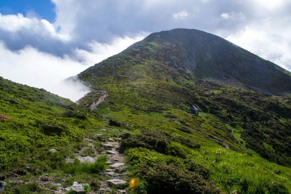
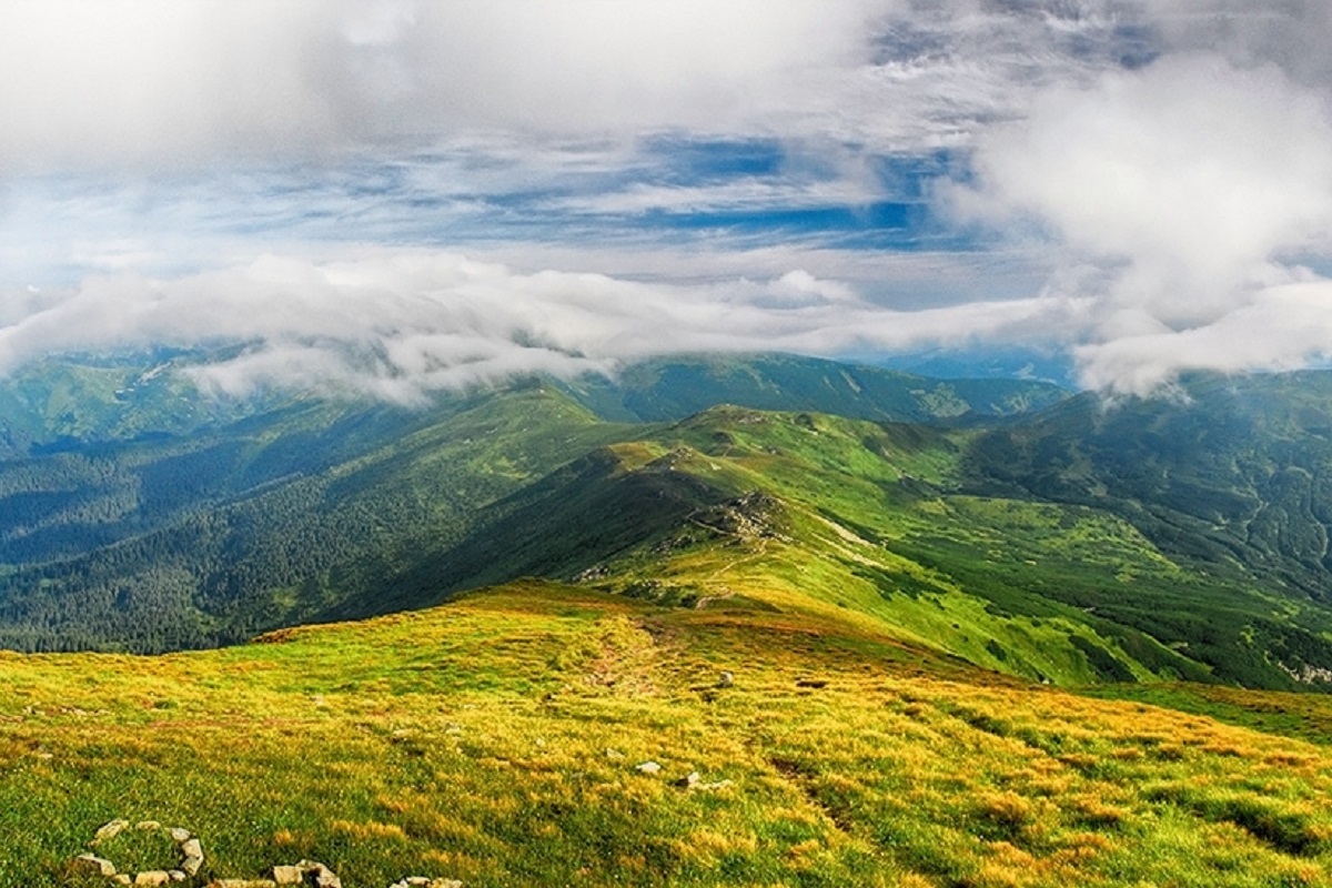
The Chornohora ridge is one of the most beautiful places in the Ukrainian Carpathians, attracting a huge number of outdoor enthusiasts with its picturesque views every year. Everyone who has visited this place at least once says that the scenery is worth the time and effort.
The Chornohora Ridge (Hungarian: Feketeberc, Polish: Czarnohora) is the highest mountain range of the Ukrainian Carpathians and occupies a dominant position in their vast expanse. The total length of the main ridge is about 40 km, so a journey along it takes 2-3 days, depending on the experience and physical fitness of the hiking participants.
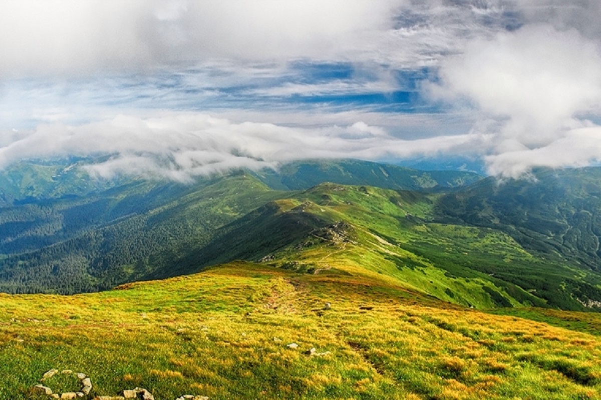
Chornohora in the expanse of the Ukrainian Carpathians
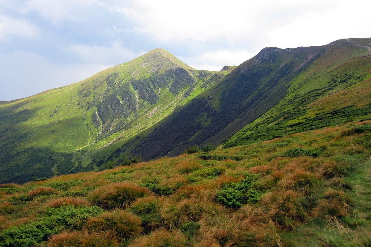
The Chornohora Ridge is rightly recognized as the highest, as it is home to 6 peaks over 2000 m: Hoverla – 2061, Brebeneskul – 2035, Pip Ivan Chornogorsky – 2028, Petros – 2020, Hutin Tomnatyk – 2016 m, Rebra – 2001.
A significant part of the Chornohora Ridge serves as a watershed between the Tysa and Prut rivers (in the past, this was the border of states that once belonged to Transcarpathia and Galicia). The western part of Chornohora lies in the Transcarpathian region, while the eastern part stretches southeast and then south. Both parts of the ridge are separated by Polonyna Skopeska – a deep saddle with an average height of 1518 m.
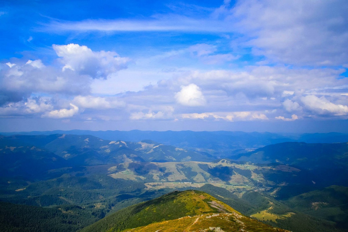
If the western part of Chornohora has relative heights of 300-350 m and is heavily dissected, the eastern part is a more monotonous, massive ridge with high peaks and saddles that do not descend below 1700-1750 m.
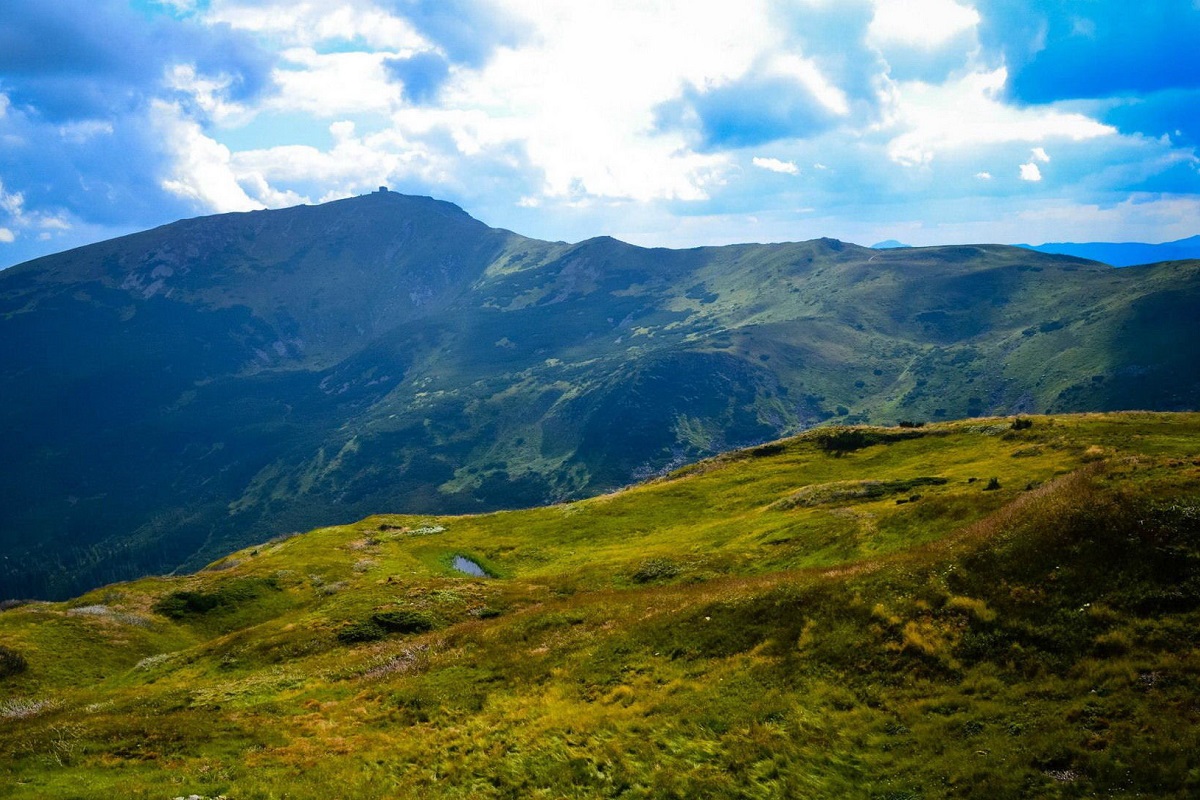
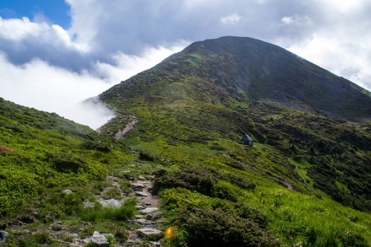
The slopes of all the main peaks of the Chornohora Ridge are mainly grassy, with almost no rocky debris. Therefore, tourists can expect good trails that will provide them with a comfortable path forward and upward.
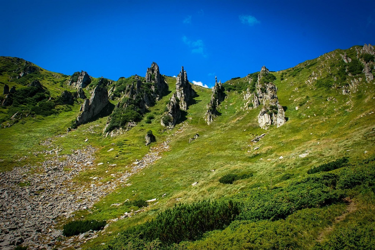
Tourism and Chornohora
Despite the incredible views from the Chornohora Ridge, one must never forget about the weather – it changes very quickly, both for the better and for the worse, and even a brief summer thunderstorm can turn into a complete problem. Therefore, when embarking on a journey along the Chornohora trails, it is essential to monitor the weather forecast and base your plans on it, whether to go on the planned date or to postpone it to more favorable weather conditions.
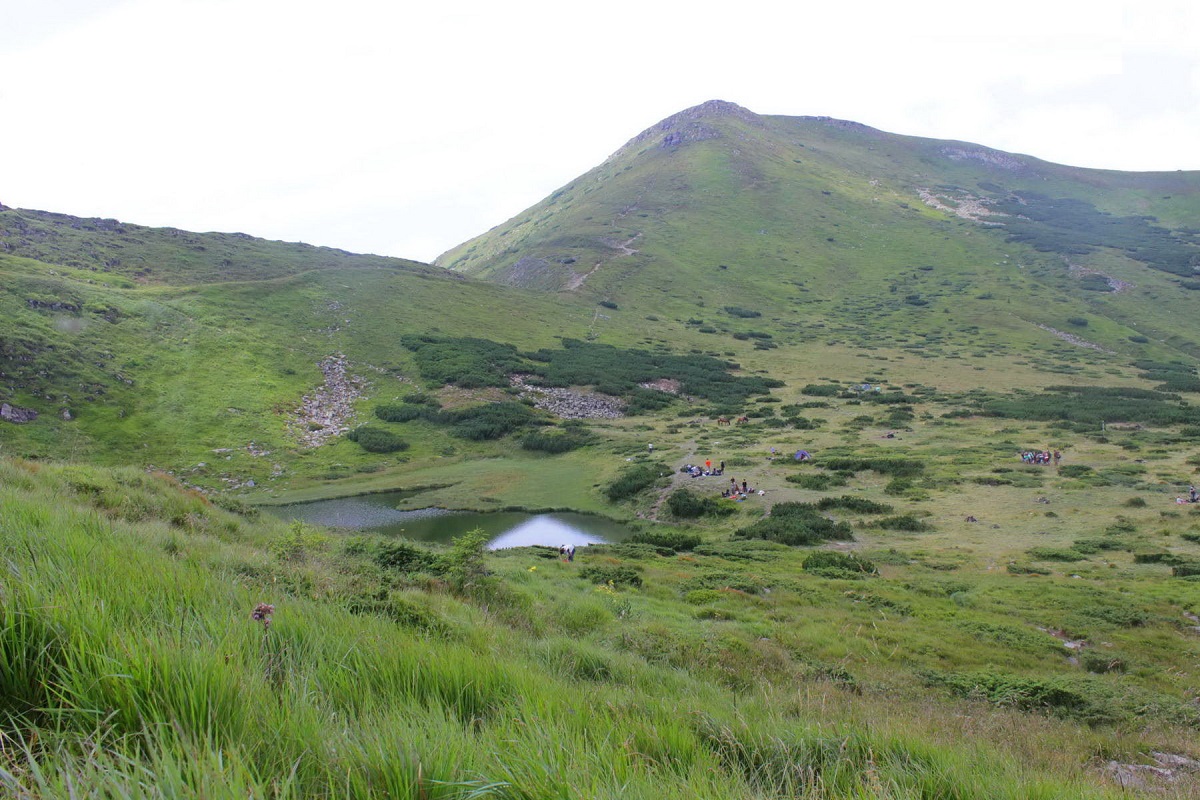
It is also worth noting that hiking in the Chornohora Ridge requires good physical preparation (not without reason, some of the most challenging categorized routes in the Ukrainian Carpathians pass through here) and the availability of appropriate tourist equipment. In addition to the classic set of individual and group gear, it is advisable to have a stove – this will greatly ease the group's life (one should not rely on the possibility of going into the forest to gather firewood for a huge bonfire).
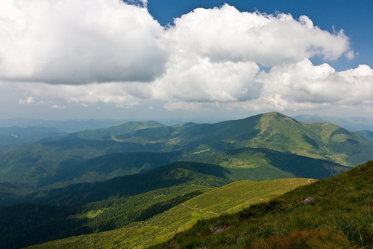
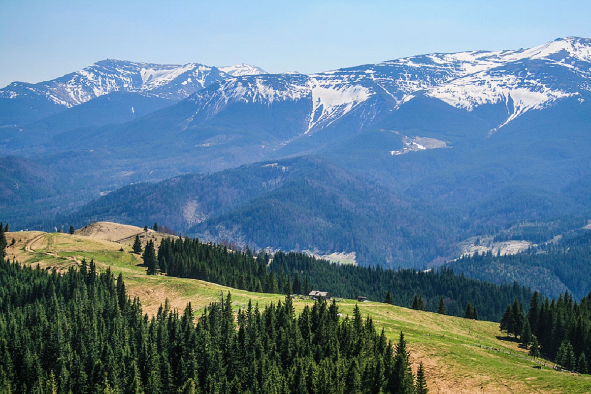
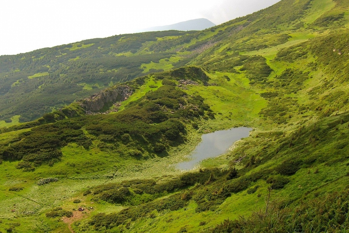
Traveling in Chornohora is not the easiest task, but it is incredibly exciting. Fresh high-altitude air, crystal-clear waters of mountain lakes, untouched Carpathian nature, and stunning views that open up for dozens of kilometers around – all of this together leaves a multitude of unforgettable impressions and provides incomparable sensations. Moreover, long exhausting routes fade into the background.
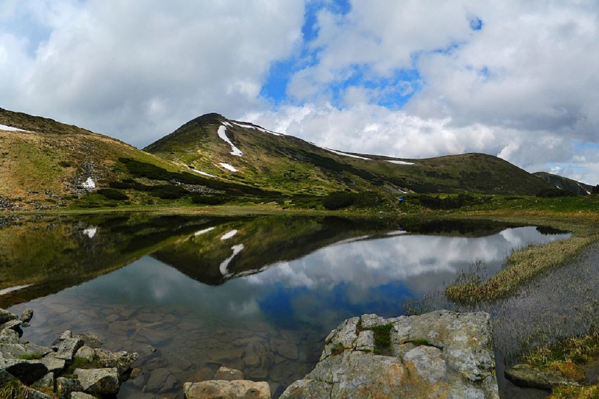
The tourist season for the Chornohora Ridge lasts on average from mid-May to mid-October (however, June-July is a rather dangerous period for hiking in Chornohora, as frequent thunderstorms occur during this time, making it very difficult to find shelter on grassy slopes).
With this article about the Chornohora Ridge, we open a new section about the Ukrainian Carpathians – "Carpathian Peaks". It will describe the most famous and picturesque mountain ranges and their peaks. Stay tuned for blog updates and subscribe to our Facebook page.
Comments
You may also be interested in
All articles Svydovets mountain range (ridge)The Svydovets range is the third highest after Chornohora and Marmaros and one of the most picturesque mountain ranges in the Ukrainian...
 Gorgany Mountains – a corner of wild nature and a reserve in the Ukrainian CarpathiansThe unique Gorgany reserve (massif) is a very specific mountain range of the Ukrainian Carpathians that cannot be confused with any other...
 Marmarosh mountain range - a floral wonder of the Hutsul AlpsThe Marmarosky (ridge) massif, together with the Chyvchyn Mountains, is called the Hutsul Alps, and this is no accident. After all, this...