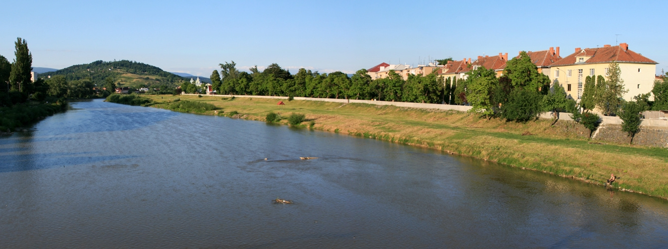
Latorytsia
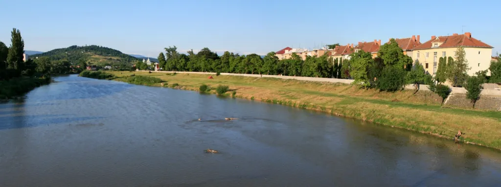
Latorytsia River - Latorytsia and its surroundings are a popular destination for eco-tourism. The river's flow through mountains and forests creates picturesque landscapes that attract nature lovers. The Latorytsia flows through the Carpathians, forming picturesque mountain landscapes, and in the lowlands - valleys with forests and agricultural land. In the upper reaches of the river there are coniferous and beech forests, and in the lower parts there are flat meadows and gardens. The Latorytsia is an important river in Zakarpattia, which not only provides water resources for local residents, but is also a natural beauty and ecological backbone for the Carpathian region.
Information:
- Length - 188 km
- Mouth - Bodroh
- Source - Ukraine
- Basin - the Danube basin
- Source - east of the village of Latirky
- Region - Zakarpattia region: Mykhailivtsi
- Flora and fauna - The river is home to several species of fish, including trout, gudgeon, and other freshwater species.
- Rafting and kayaking - The Latorytsia is a popular river for rafting and kayaking. Tourists can go rafting on the river.
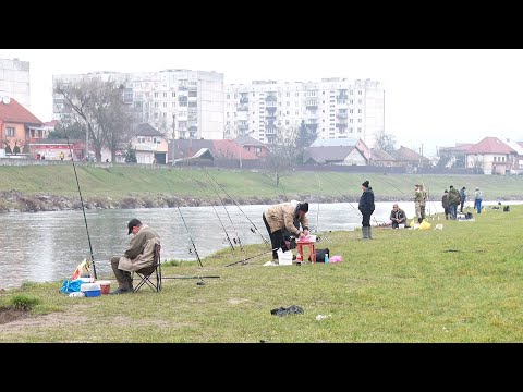
- Fishing - The river is known for its clear waters and abundance of fish species such as trout.
Accommodation around Latorytsia:


Nearby hiking trails near Latorytsia:
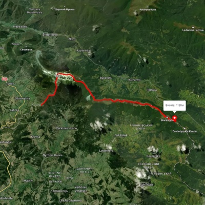
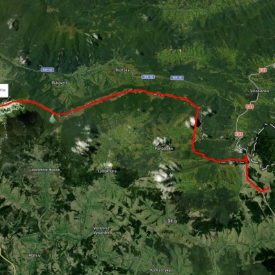
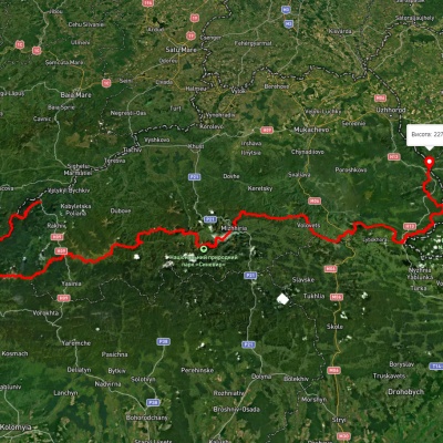
Which trails pass by Latorytsia?
We suggest these hiking trails through or near Latorytsia: Bilasovytsia village, via Mount Pikui and Mount Velykyi Verkh to Mount Starostyna, Sianky village, via Mount Starostyna and Mount Velykyi Verkh to Mount Pikui, Transcarpathian Tourist Trail, Uzhok village, via Mount Drohobytskyi Kamin, Starostyna village, Mount Velykyi Verkh, Mount Pikui and Shcherbovets village to Zhdeniievo village, Sianky village, via the Verkhovyna Watershed ridge and Mount Pikui to Bilasovytsia village, Sianky village, via Mount Drohobytskyi Kamin, the Ruska Put Pass and Mount Pikui to Bilasovytsia village