Memorial Sign of Navigation on the Dniester River, Halych
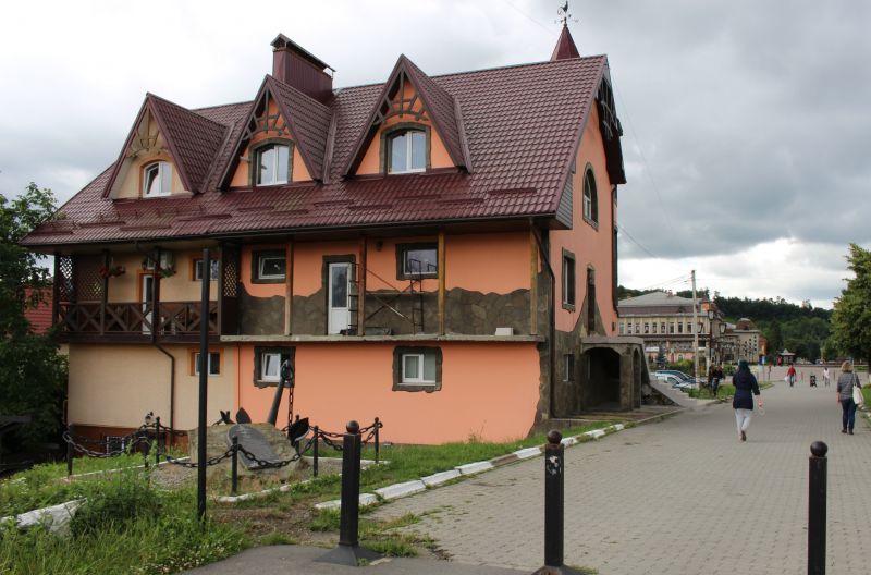
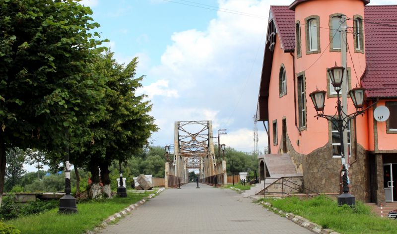
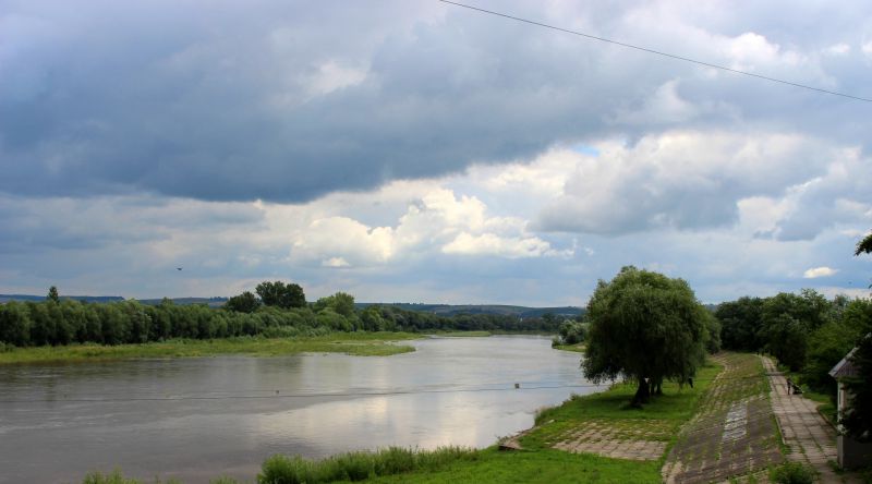
Near one of the original landmarks Halych – an old metal bridge built in 1910, on the right bank of the river, is located the memorial sign of navigation on the Dniester River. It is hard to believe now, but just a few decades ago, the river in this place was navigable. Since ancient times, it served as the main transport artery connecting Prykarpattia and Halychyna, Podillia and Bessarabia with the Balkans and the Middle East. The memorial sign of navigation on the Dniester was established to preserve the historical memory of that time for future generations, as well as to ensure that the names of those who initiated water traffic on the river in its modern form are not forgotten.
Official navigation on the Dniester existed since 1862. Over a stretch of more than 300 kilometers, cargo and passenger transportation were organized. A river port was built in Halych. Here, there were docks, a coal depot, and a railway branch was also constructed. Until the 1940s, steamers and auxiliary vessels operated on the river.
According to data from 1936, the Public Water Association in Stanislav had over 500 Dniester vessels. In particular:
- 57 sports boats;
- 10 excursion boats;
- 383 fishing boats;
- 42 transport vessels for agricultural needs;
- 31 rescue vessels in case of flooding;
- kayaks and motorboats.
In addition, barges and ferries operated on the Dniester, mainly for transporting timber, hay, and livestock from one bank to the other. There were also river excursions and even yachting.
After the end of World War II, the river was completely within the territory of the Soviet Union, and navigation began to develop again. Initially, the Dniester was navigable in certain sections, as some parts of the route were obstructed by rapids, and shallow waters hindered navigation in certain places. Eventually, vessel traffic was established from the mouth to Halych. In large settlements, there were docks and even river stations. After 1980, navigation on the Dniester declined.
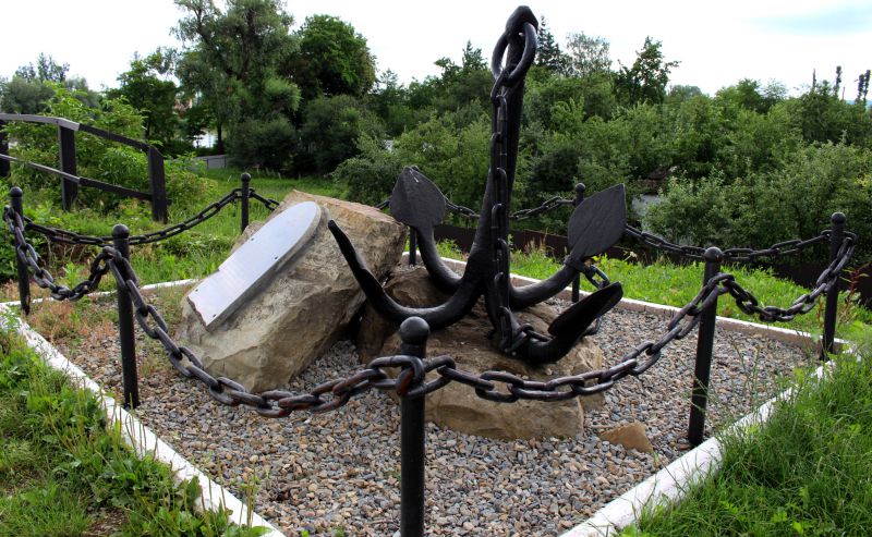
The memorial sign of navigation on the Dniester was established at the initiative of the general directorate of the National Reserve "Ancient Halych" in August 2015. It represents a composition of rocky stones with an embedded plaque. Nearby, an anchor that was found in the water and raised from the riverbed is secured.
You can reach the memorial sign of navigation on the Dniester from the center of Halych, Ivano-Frankivsk, Lviv, and other nearby cities by car, following the N09 road, or by public buses. It is also easy to reach by train (to the station "Halych"). From the railway station to the city center, you need to walk (about 20 minutes). The route goes through a metal pedestrian bridge, next to which the memorial sign is located on the right bank.
Accommodation around Memorial Sign of Navigation on the Dniester River, Halych:


Nearby hiking trails near Memorial Sign of Navigation on the Dniester River, Halych:
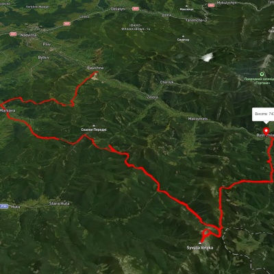
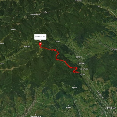
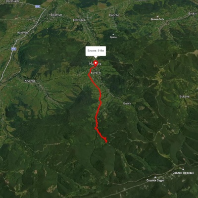
Which trails pass by Memorial Sign of Navigation on the Dniester River, Halych?
We suggest these hiking trails through or near Memorial Sign of Navigation on the Dniester River, Halych: Pasichna village, via Maniava village, Maniava Waterfall and Mount Velyka Syvulia to Bystrytsia village, Maniava village - Monastyretska polonyna, Maniava village – Maniava Waterfall, Huta village – Pasichna village, Dora village, via Mount Syniachka, Pereslip Pass, Turshuhuvata polonyna and the Yavirnyk ridge to Yaremche, Dora village, via Mount Syniachka and the Chornohorytsia ridge to Yaremche